© Teutoburger Wald Tourismus / P. Gawandtka, Patrick Gawandtka

© Community - Gabriele Waldschrat

© Community - Gabriele Waldschrat

© Teutoburger Wald Tourismus / P. Gawandtka, Patrick Gawandtka

© Teutoburger Wald Tourismus / P. Gawandtka, Patrick Gawandtka

© Teutoburger Wald Tourismus / P. Gawandtka, Patrick Gawandtka

© Teutoburger Wald Tourismus / P. Gawandtka, Patrick Gawandtka

© Teutoburger Wald Tourismus / P. Gawandtka, Patrick Gawandtka

- Brief description
-
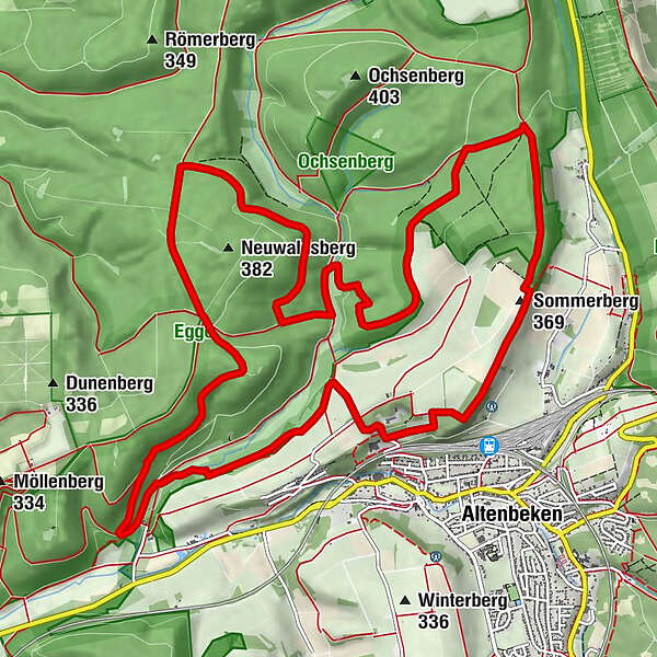
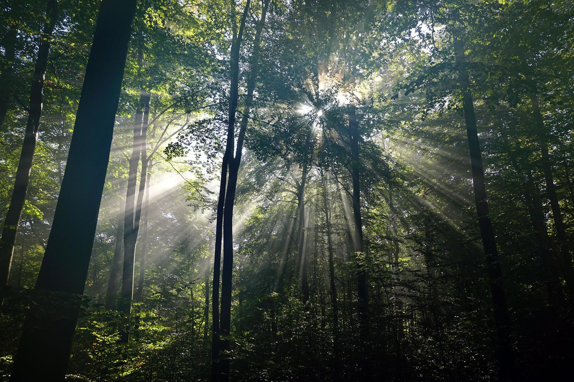
Unterwegs im Altenbekener Waldnaturschutzgebiet Egge-Nord, dem Naturerbe-Wald in OWL.
- Difficulty
-
medium
- Rating
-
- Route
-
Drei Linden0.3 kmHolschenberg (380 m)11.9 kmSommerberg (369 m)12.9 km
- Best season
-
JanFebMarAprMayJunJulAugSepOctNovDec
- Highest point
- 375 m
- Endpoint
-
Waldhaus Durbeke
- Height profile
-
 © outdooractive.com

- Author
-
The tour Durbeke-Steig is used by outdooractive.com provided.
GPS Downloads


General info
Insider tip
Other tours in the regions
-
Paderborner Land
323
-
Altenbeken
157