© Eifelverein e. V. - Hans-Eberhard Peters

© Eifelverein e. V. - Hans-Eberhard Peters

© Eifelverein e. V. - Hans-Eberhard Peters

© Eifelverein e. V. - Hans-Eberhard Peters

© Eifelverein e. V. - Hans-Eberhard Peters

© Eifelverein e. V. - Hans-Eberhard Peters
- Difficulty
-
easy
- Rating
-
- Route
-
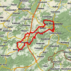
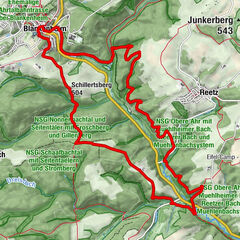
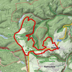
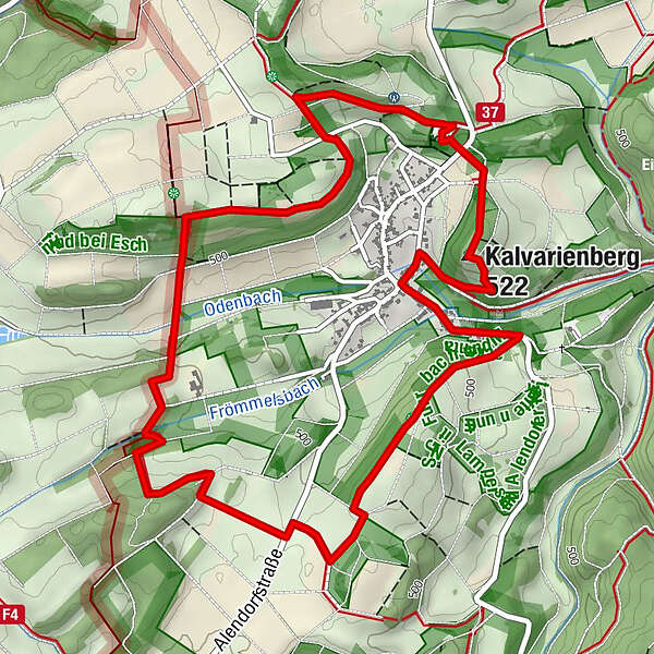
Friedhofskapelle St.Agatha0.1 kmAlendorf5.9 kmEifelblick Kalvarienberg6.3 kmKalvarienberg (522 m)6.4 km
- Best season
-
JanFebMarAprMayJunJulAugSepOctNovDec
- Highest point
- 547 m
- Endpoint
-
Wanderparkplatz an der Kapelle St. Agatha / K 43
- Height profile
-
 © outdooractive.com
-

-
AuthorThe tour Wo die Hänge blühen is used by outdooractive.com provided.
GPS Downloads


General info
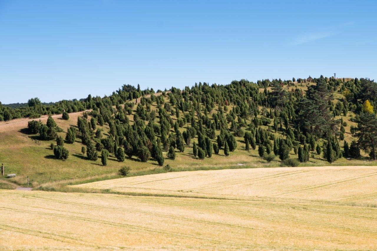
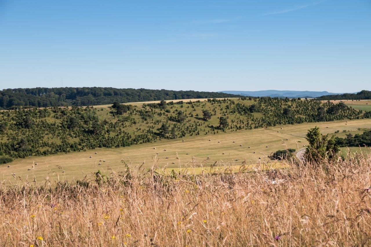
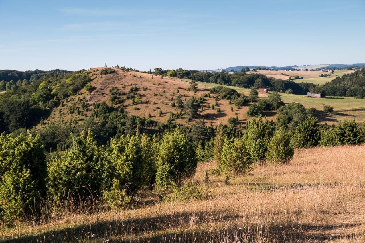
Flora
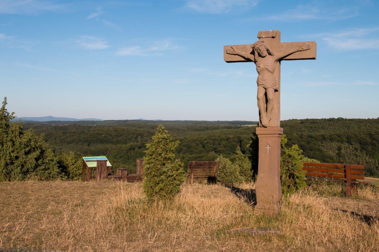
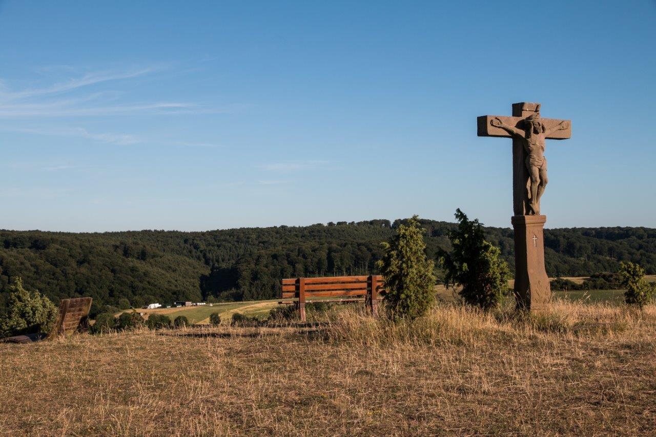
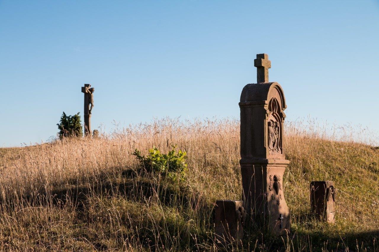
A lot of view
Other tours in the regions
-
Eifel & Aachen
1426
-
Gerolsteiner Land
501
-
Obere Kyll
124