- Brief description
-
Hiking tour around the Spiegeltal valley. The Zellerfelder Kunstgraben ditch was especially important for mining in Zellerfeld.
- Difficulty
-
medium
- Rating
-
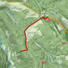
- Starting point
-
Oberer Kellerhalsteich car park on the B 241 Zellerfeld - Goslar
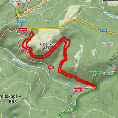
- Route
-
Erbprinzentanne2.1 kmSpiegelthaler Wasserfall8.6 km
- Best season
-
JanFebMarAprMayJunJulAugSepOctNovDec
- Description
-
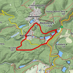
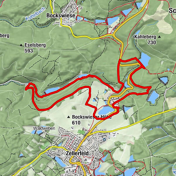
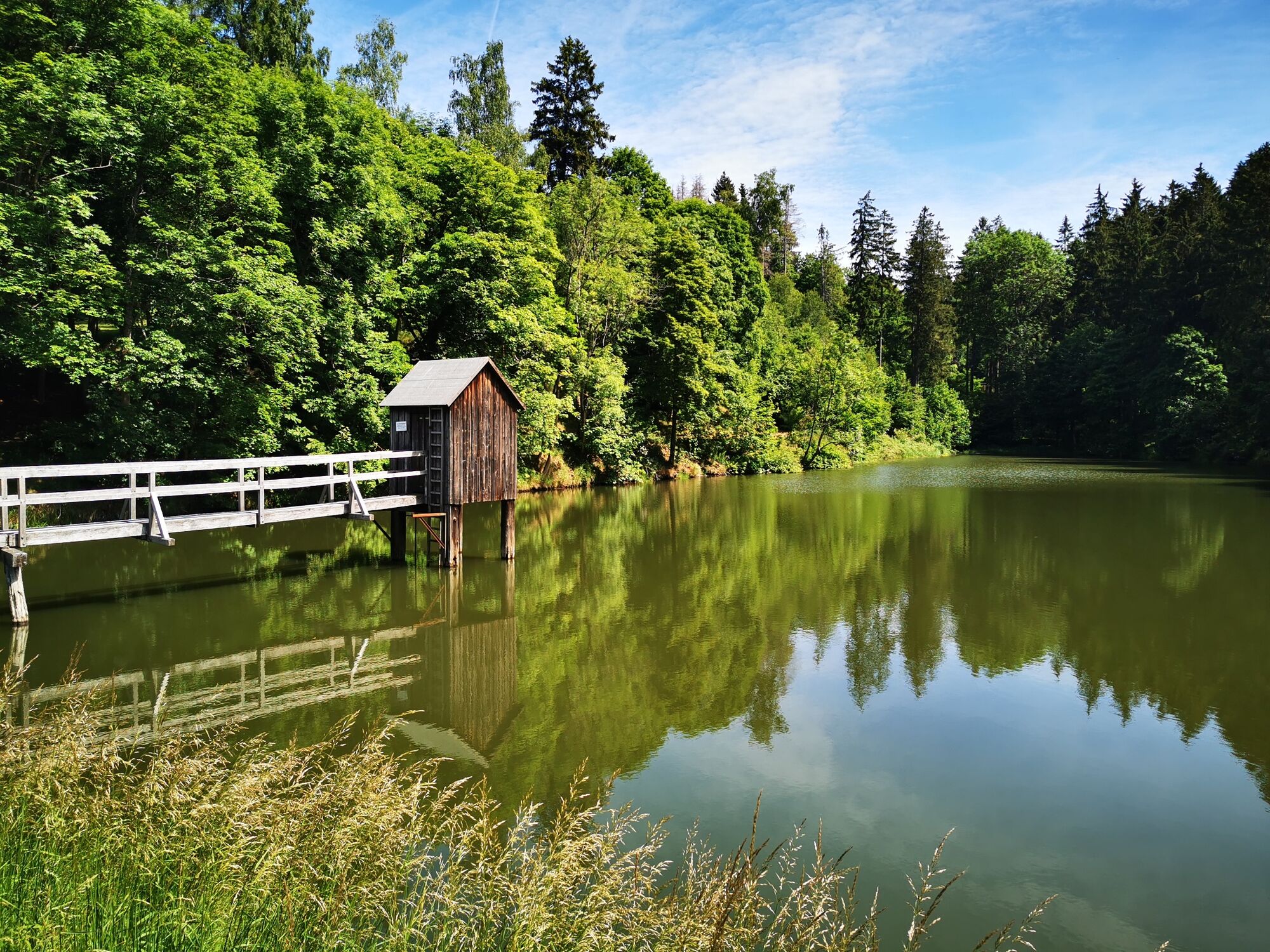
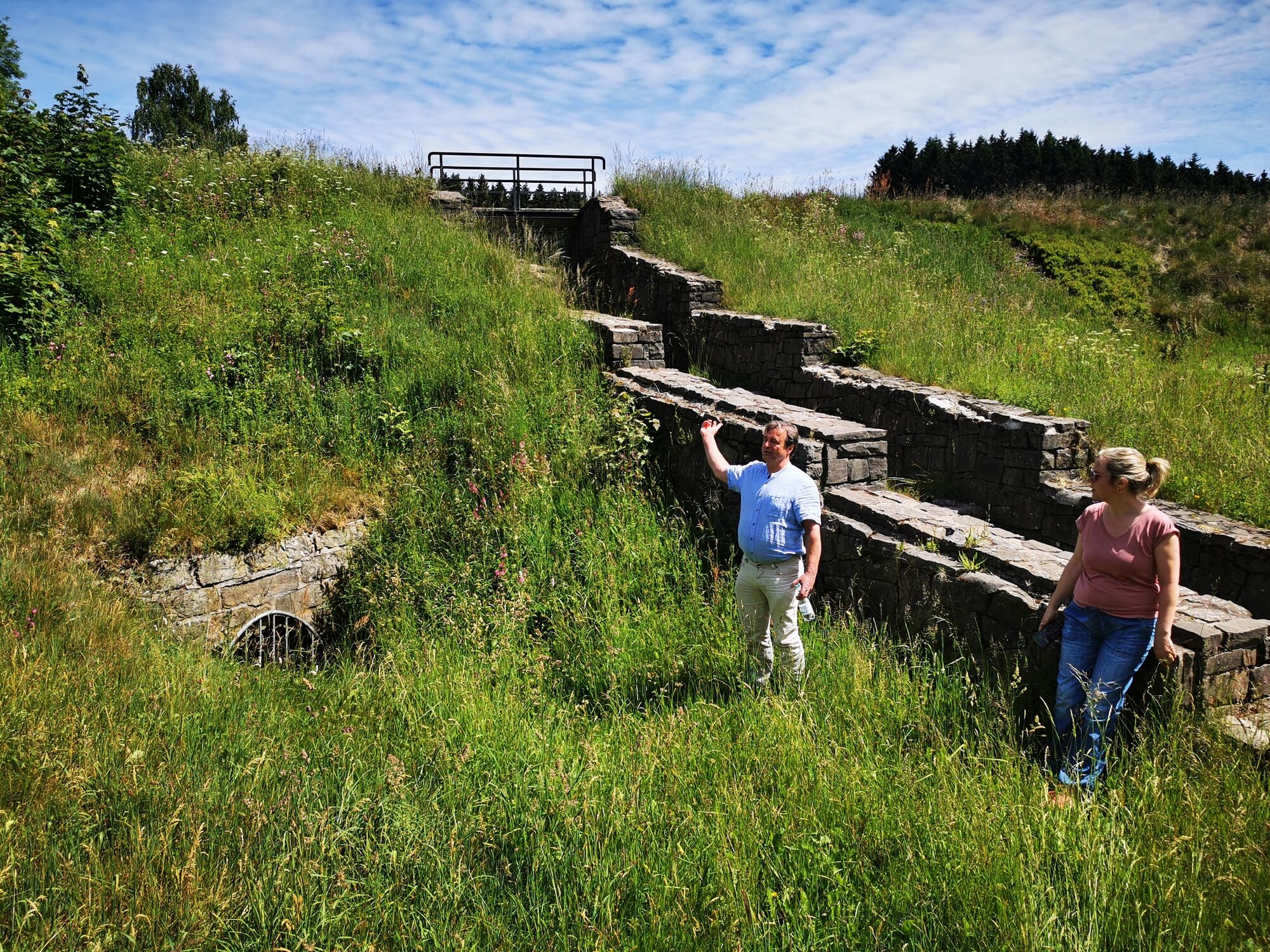
The water transport ditches in the Upper Harz are true masterpieces of water engineering. You can see this particularly well on this 12 km circuit along the Zellerfelder Kunstgraben. The walls of natural stone, small bridges and stone arches show how much effort the miners put into building the ditches.
Water was very valuable for mining in the Harz. The water wheels at the mines were needed, for example, to hoist the extracted ore to the surface. This required a lot of water. The water needed to be transported to the mines. There always needed to be enough water, even when there was little or no rain.
The mines in Zellerfeld were high up on the hills. Therefore the water needed to be brought to the mines from even higher areas. These higher areas were far away. So the ditch goes a long way through the Harz. The walk passes ponds as well as stony and dangerous places in the water, and even a waterfall.
- Directions
-
This circular walk starts at the Großer Kellerhalsteich. Walk around 100 m along the road in the direction of Zellerfeld. From there you can walk slightly uphill to the bank of the ditch. Now follow the ditch all the way to the Stadtweger Teich pond. Keep following the ditch across the high meadows near to Zellerfeld.
- Highest point
- 594 m
- Endpoint
-
Oberer Kellerhalsteich car park on the B 241 Zellerfeld - Goslar
- Height profile
-
 © outdooractive.com
 - Tips
-
A highlight in the Spiegeltal valley is the waterfall. The waterfall was also created when the miners built a water transport ditch.
- Parking
-
Parking at the Großer Kellerhals pond
-

-
AuthorThe tour WatersideWalk Zellerfelder Kunstgraben is used by outdooractive.com provided.