- Brief description
-
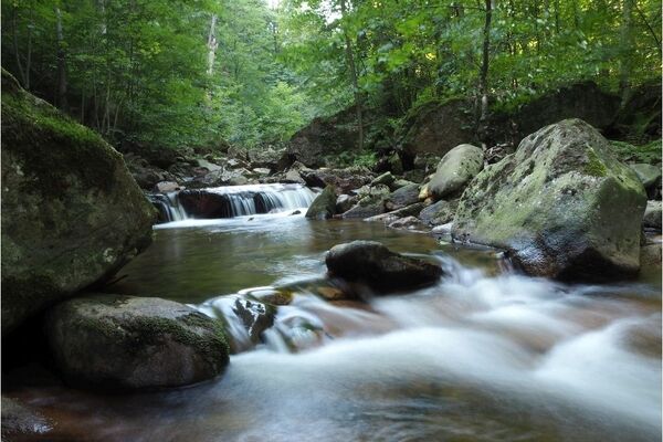
Hike along the Rehberger Graben ditch. A walk through the wild and romantic mountain landscape of the High Harz.
- Difficulty
-
easy
- Rating
-
- Starting point
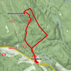
-
Oderteich car park on the B 242 Clausthal - Braunlage
- Route
-
Rehberger Grabenhaus5.6 km
- Best season
-
JanFebMarAprMayJunJulAugSepOctNovDec
- Description
-
The Rehberger Graben was the most difficult ditch to build in the Upper Harz. The workers had to hammer the ditch out of the hard granite stone and blast away parts of the cliffs. The building work took 150 years.
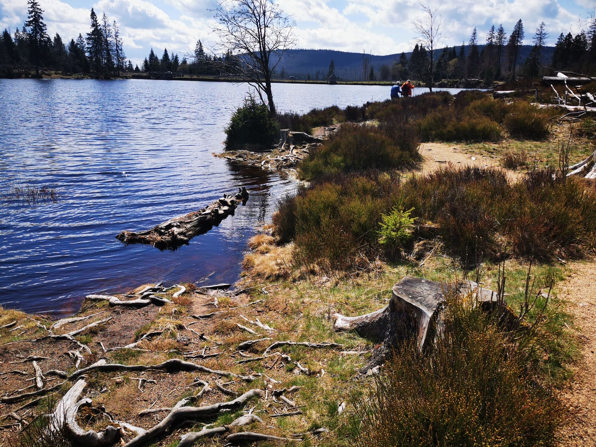
The path along the ditch was built so that the ditch could be monitored and maintained. The ditch attendants had to check that the ditch was in good condition every day. And they had to control the water level in the ditch. Today the path is a scenic and easy hiking route. The path is 7 km long and is slightly uphill or downhill, depending which direction you walk in. There are fantastic views in many places. For example the view of the Oder Valley and the cliffs on the other side. And the beautiful Harz landscape.
The Rehberger Graben ditch was very important for mining in Sankt Andreasberg. Because the town is so high up, the water for the mines had to come from the High Harz. Here, the landscape is steep and rocky. In many places they had to hammer the ditch out of the cliffs. The only advantage was that they could use the granite stones for the walls of the ditch and granite slabs to cover it over.
- Directions
-
The walk starts at the Oderteich pond car park on the B 242 road. From the car park, cross the road and walk to the start of the Oderteich dam. Then cross back over the road. There are two ways down to the Rehberger Graben ditch. There is a steep flight of natural steps where you can climb down to the foot of the dam. But if you are walking with a pushchair or wheelchair, then stay on the tarmac forestry road down to the ditch. Now follow the wide path along the ditch.
The path ends at the Gesehr Wasserlauf water transport tunnel. The water disappears into the tunnel, where it heads for Sankt Andreasberg.
- Highest point
- 710 m
- Endpoint
-
Gesehr Wasserlauf
- Height profile
-
 © outdooractive.com
 - Tips
-
For this walk there is an audio guide in German, English and simple language. The audio guide will give you interesting information about the Upper Harz Water Management System in Sankt Andreasberg.
- Parking
-
Parking at the Oderteich

-

-
AuthorThe tour WatersideWalk Rehberger Graben is used by outdooractive.com provided.


General info
-
Der Harz/ Niedersachsen
1061
-
Oberharz
685
-
Sankt Andreasberg
298