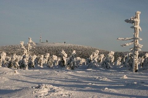
„Travelling the Harz and not climbing the Brocken summit would mean the same as having been in Rome without having seen the pope“, the writer Christian Wilhelm Spieker observed already in the 19th century. He was not alone in his view, for the Blocksberg, as it was called in former times, has been the main destination for Harz travellers since the 17th century. It was quite an effort then to climb the 1,141 metres of this highest peak of Northern Germany. Its former wilderness as well as rapid weather changes hindered the ascent.
The Brocken is not just a mountain, but possibly Germany’s first touristic nature destination. The writers Johann Wolfgang von Goethe and Heinrich von Kleist were among its distinguished visitors even before 1800, as was Alexander von Humboldt who later became an eminent naturalist. Numerous Brocken hikers of the past have left to posterity their impressions in poetry, travel accounts or academic essays. While some enjoyed the magnificent scenery in sunshine, others complained about rain, storm and sore feet.
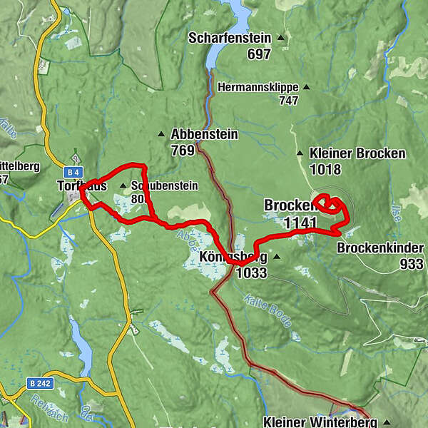
Already by the end of the 18th century the summit guest books showed more than 400 entries every year. Since 1825 numbers of guests already exceeded the 2,000 mark. The appeal of the mountain and the popularity of the Goethe Trail remained unbroken until today. Each year, thousands of hikers make the ascent from Torfhaus over the distance of 9 kilometres via the Goethe trail. The ascent of the hike is about 350 metres and requires 5 to 6 hours out and back.
The ascent of the Brocken via the Goethe trail is rightly regarded as a highlight by many visitors to the Harz. Countless cultural sights and fascinating natural phenomena are found along the route like pearls on a string. This hiking app will help you discover the numerous small and big, visible and invisible wonders at the wayside.
Since 1990, the Brocken Mountain was situated at the heart of the Upper Harz National Park which was almalgamated with the Lower Saxon national park in 2006 to form the Harz National Park. Covering 250 km² this is Germany’s largest forest wilderness area. National parks aim at protecting natural landscapes on a large scale where natural processes can take place without human intervention. There are 4,000 national parks worldwide that range among the most popular attractions of their countries.
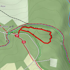
Before starting your hike to the Brocken you are invited to visit the TorfHaus National Park Visitor Centre. There you can find out everything there is to know about the Harz National Park. A walk through the exhibition will show you what to expect on your hike to the Brocken summit and will give you an idea of the spectacular scenery of the Harz National Park.


 © outdooractive.com