© Nationalpark Harz - O. Anders

© Nordstadtlicht Braunlage, Tobias Brabanski - Tobias Brabanski

© Nordstadtlicht

© Klaus Moschny

© Baumwipfelpfad Harz BMA

© (C) Ulrich Schrader

© (C) Ulrich Schrader
- Brief description
-
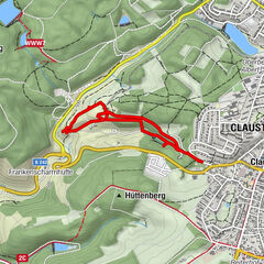
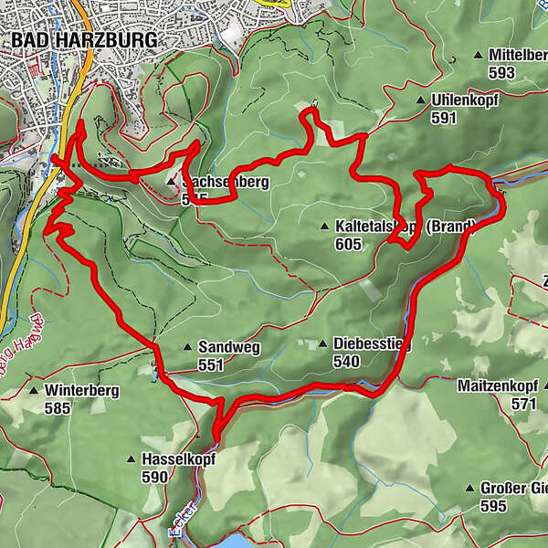
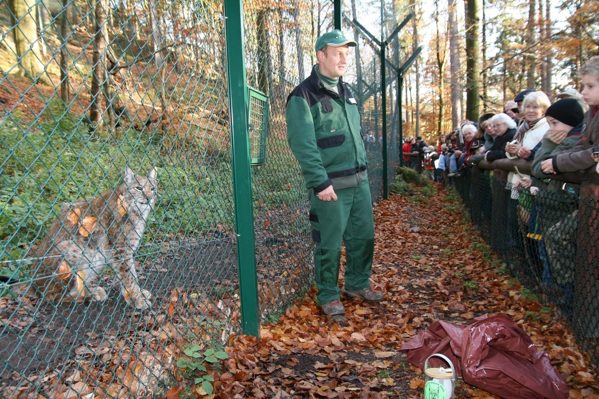
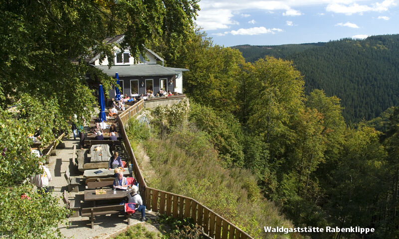
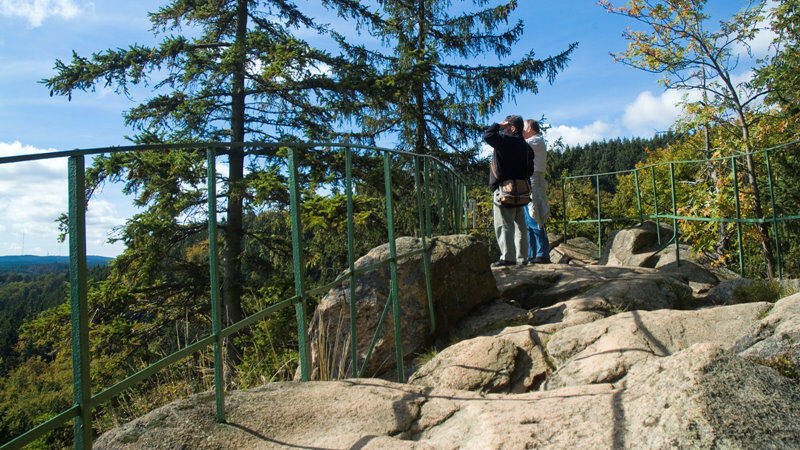
Mittelschwerer Rundwanderweg mit einer Gesamtlänge von gut 16 km über Antoniusplatz, Kreuz des Deutschen Ostens, Rabenklippe mit Luchsgehege, Eckertal, Molkenhaus, Ettersklippen zurück zum Wandertreff im Kurpark.
Vom Deutschen Wanderinstitut 2014 mit dem Deutschen Wandersiegel "Premiumweg" ausgezeichnet! - Difficulty
-
medium
- Rating
-
- Route
-
Bad Harzburg (261 m)0.6 kmAntoniusplatz (461 m)1.6 kmSäperstelle (491 m)2.8 kmRabenklippen6.8 kmRabenklippe (555 m)6.8 kmWaldgaststätte Rabenklippe6.8 kmAhlsburg Klippe8.5 kmEttersklippe14.9 kmBad Harzburg (261 m)16.6 km
- Best season
-
JanFebMarAprMayJunJulAugSepOctNovDec
- Highest point
- 568 m
- Endpoint
-
Wandertreff im Kurpark
- Height profile
-
 © outdooractive.com
- Author
-
The tour Luchstour is used by outdooractive.com provided.
GPS Downloads


General info
Refreshment stop
Cultural/Historical
Insider tip
Other tours in the regions
-
Der Harz/ Niedersachsen
1061
-
Oberharz
685
-
Bad Harzburg
321