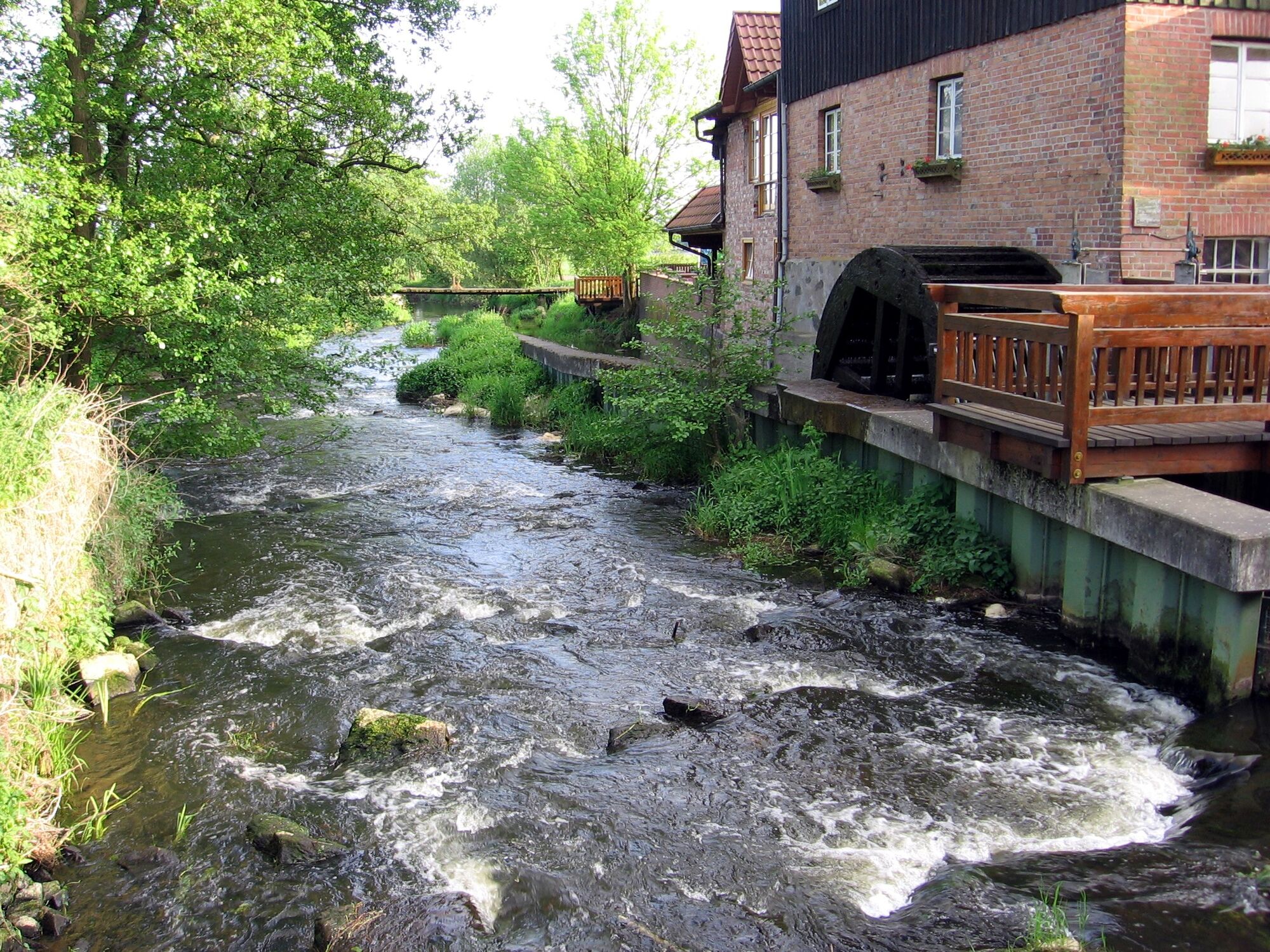
© Südheide Gifhorn GmbH - Frank Bierstedt
- Brief description
-
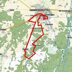
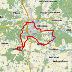
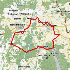
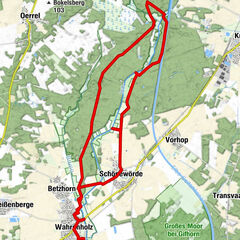
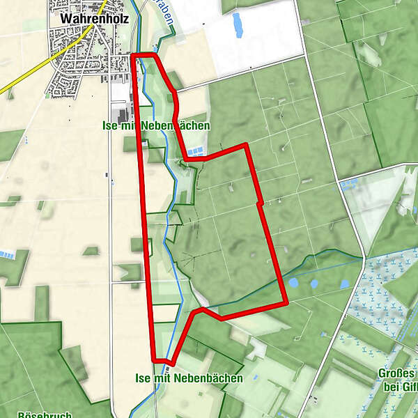
Auf 10 Kilometern Länge führt der Otter-Pfad entlang der Ise.
- Difficulty
-
easy
- Rating
-
- Best season
-
JanFebMarAprMayJunJulAugSepOctNovDec
- Highest point
- 56 m
- Endpoint
-
Bahnhof Wahrenholz, 29399 Wahrenholz
- Height profile
-
 © outdooractive.com
- Author
-
The tour Otter-Pfad Wahrenholz Süd is used by outdooractive.com provided.
GPS Downloads


Other tours in the regions