© Wiener Alpen in Niederösterreich - Bad Erlach - Gemeinde Walpersbach
- Brief description
-
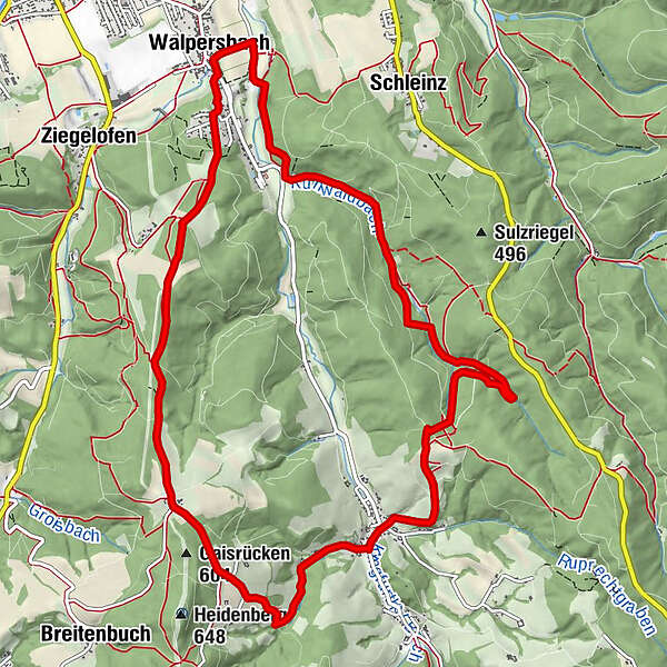
Der Walpersbacher Rundwanderweg führt über Wald und Wiese durch die Ortsteile Stupfenreith und Klingfurth vorbei am Ausblickspunkt Harrathof/Grafengrab. Beim Startpunkt kann man einen Blick in die geschichtsreiche Pfarrkirche werfen.
- Difficulty
-
medium
- Rating
-
- Route
-
Pfarrkirche WalpersbachWalpersbachVorstadt0.4 kmStupfenreith3.5 kmBackhendlstation Stupfenreith3.6 kmKlingfurth6.0 kmGewidmet dem hl. Kreuz6.2 kmBener (503 m)7.4 kmWalpersbach12.9 kmPfarrkirche Walpersbach13.1 km
- Highest point
- 559 m
- Endpoint
-
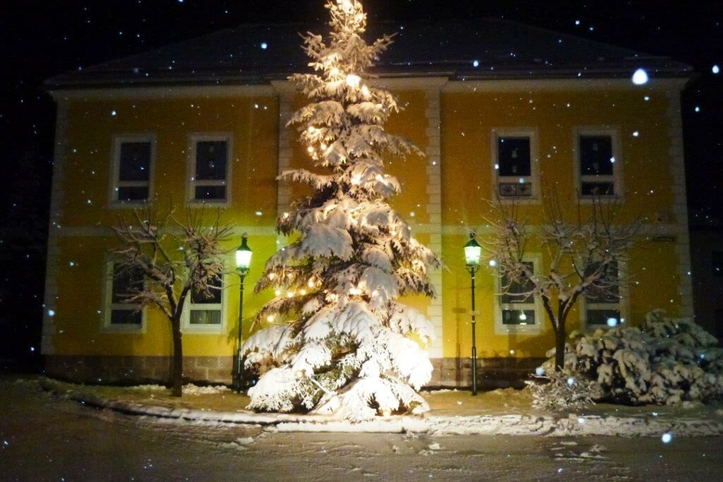
Pfarrkirche Walpersbach
- Height profile
-

- Author
-
The tour Winterwandern in Walpersbach is used by outdooractive.com provided.
GPS Downloads


Other tours in the regions