© Bernhard Hofecker, Stadtgemeinde Scheibbs

© Unbekannt - schwarz-koenig.at
- Brief description
-
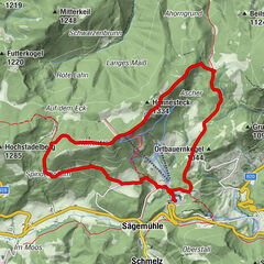
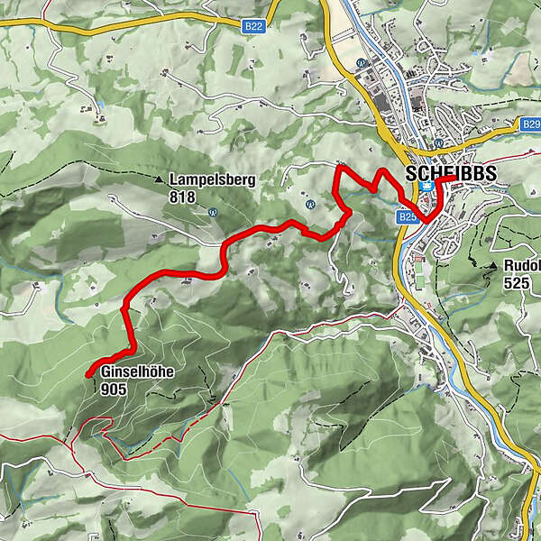
Durchaus anspruchsvolle Wanderung von Scheibbs (Rathausplatz) auf die Ginselhöhe und retour.
- Difficulty
-
medium
- Rating
-
- Route
-
Zum Schwarzen ElefantenSchöllgrabenScheibbs0.0 kmGinselhöhe (905 m)6.0 km
- Best season
-
JanFebMarAprMayJunJulAugSepOctNovDec
- Highest point
- 899 m
- Endpoint
-
Ginselhöhe (905 m)
- Height profile
-


- Author
-
The tour Von Scheibbs zur Ginselhöhe is used by outdooractive.com provided.
GPS Downloads


General info
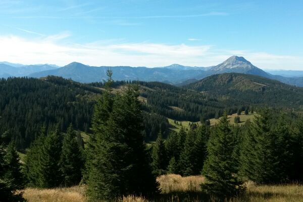
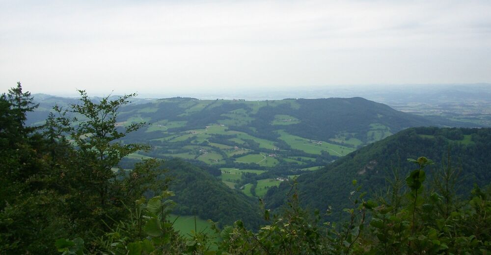
A lot of view
Other tours in the regions
-
Mostviertel
2451
-
Eisenstraße Niederösterreich
916
-
Scheibbs
177