- Brief description
-
The Wachau offers the best opportunities for short hikes all year round, but it is especially beautiful in autumn, during the grape harvest, when the vine leaves change color.
- Difficulty
-
easy
- Rating
-
- Starting point
-
At the bus stop "Weißenkirchen/Wachau Fähre"
- Route
-
Pfarrkirche Weißenkirchen0.3 kmWeißenkirchen0.3 kmIn der Klaus1.3 kmFelsentor2.8 kmKienberger Olle3.5 kmPfarrkirche Weißenkirchen3.9 km
- Best season
-
JanFebMarAprMayJunJulAugSepOctNovDec
- Description
-
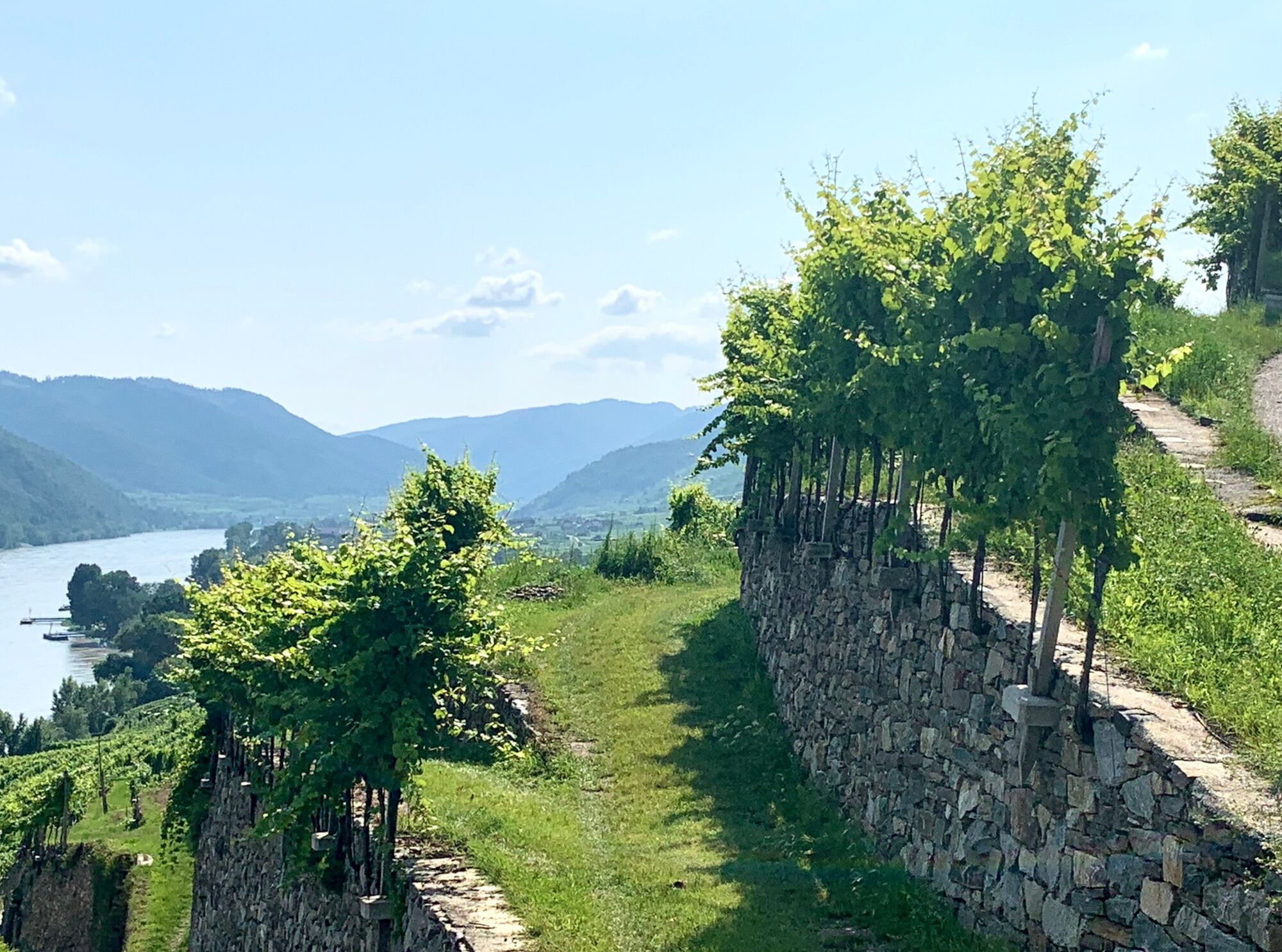
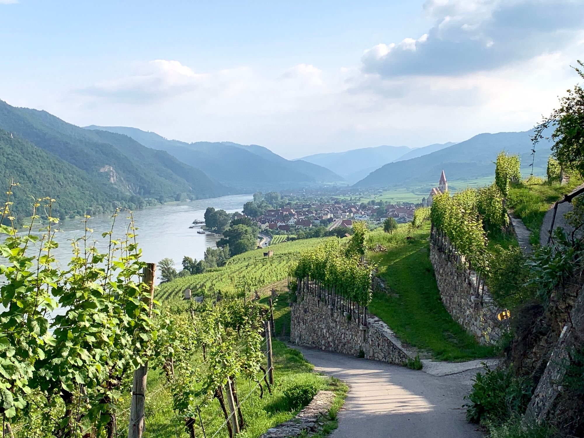
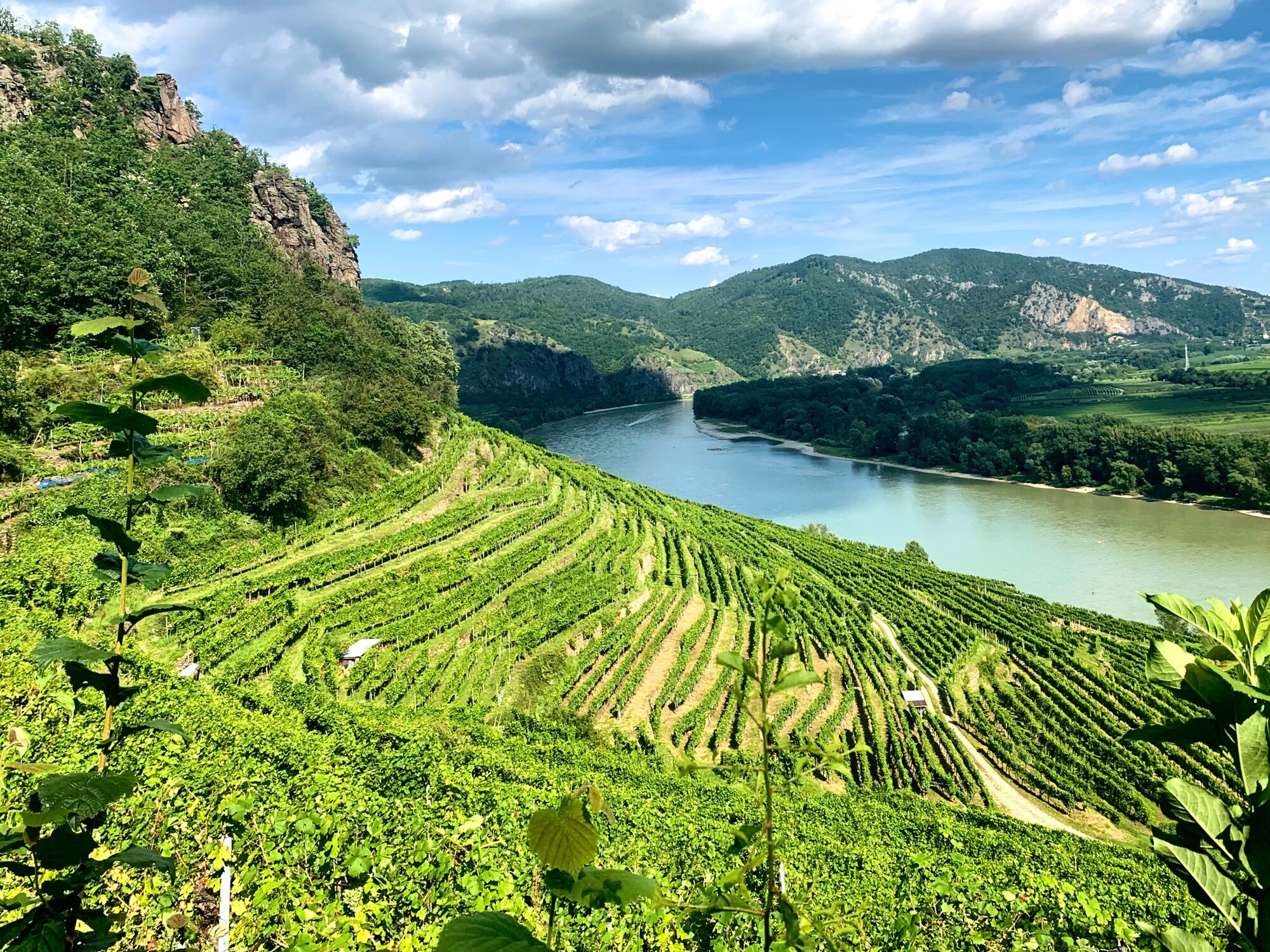
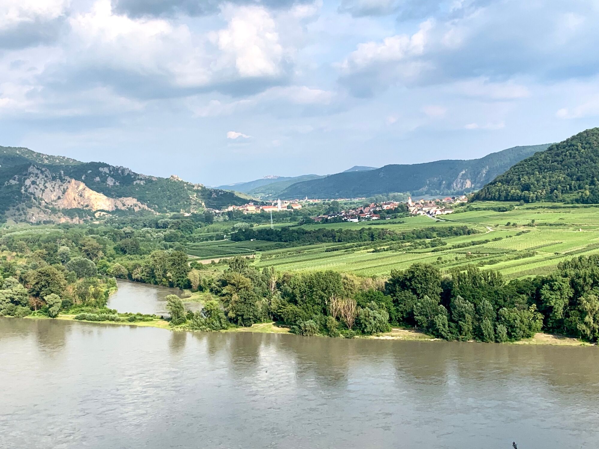
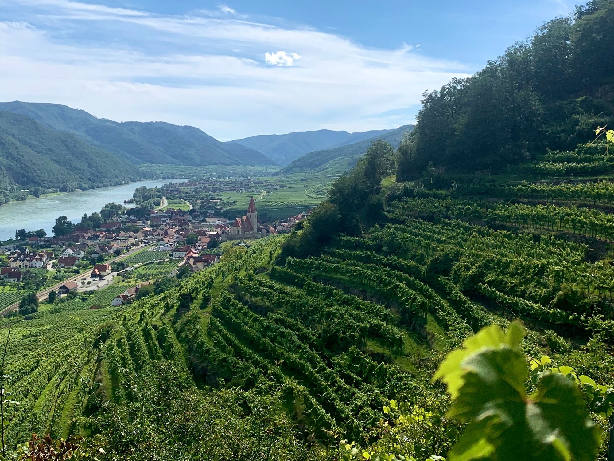
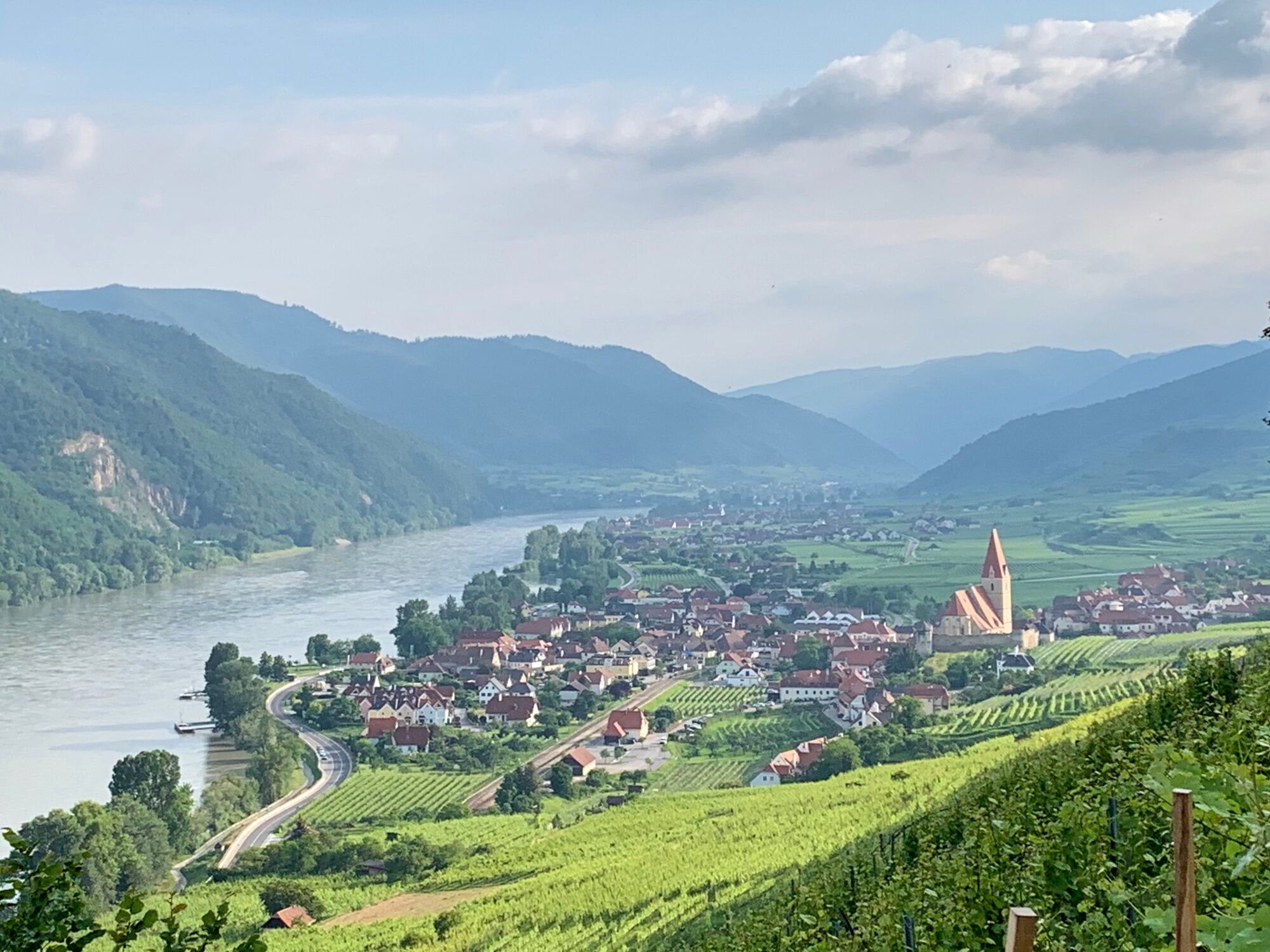
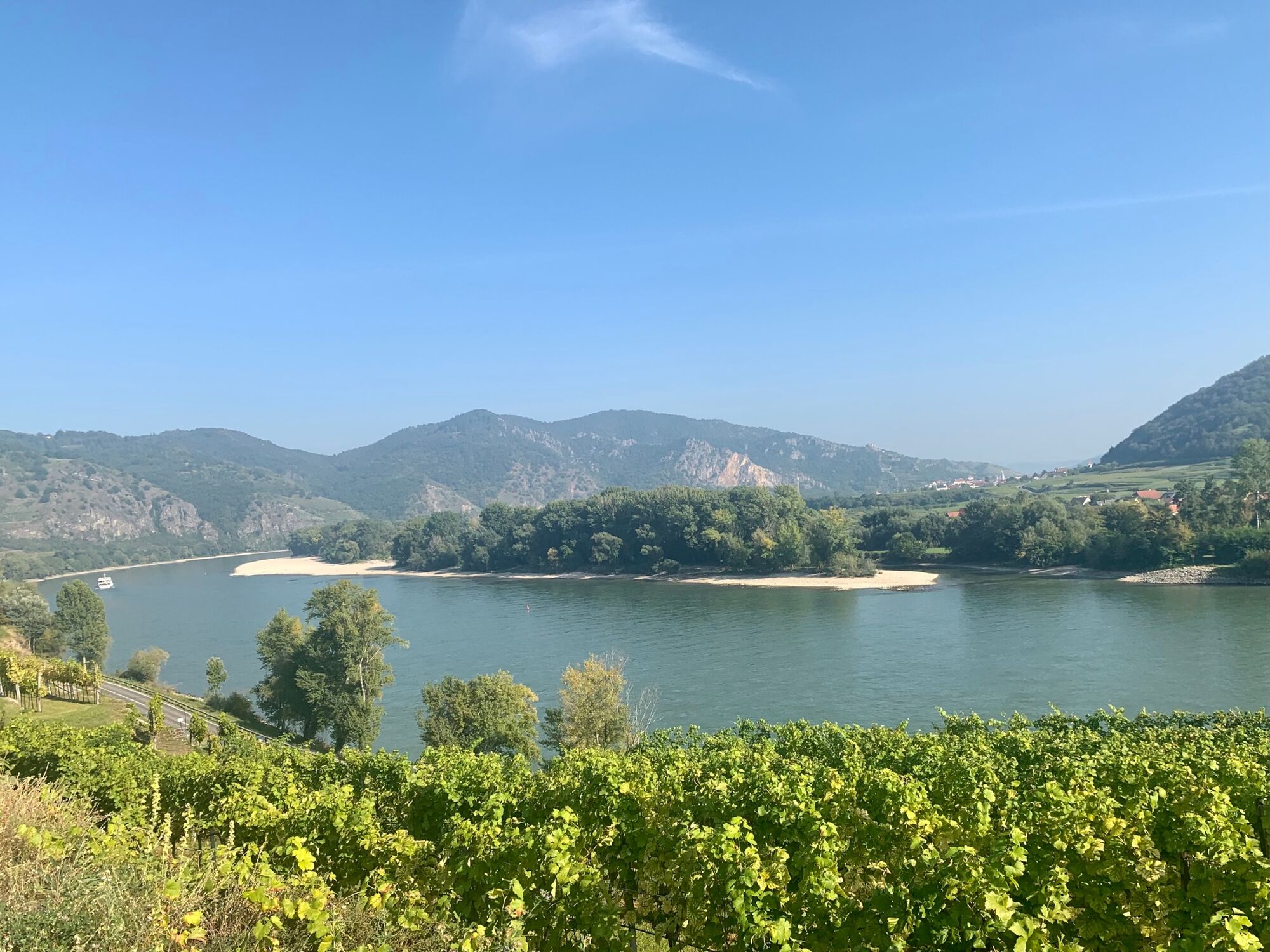
The Panoramaweg is a circular route in Weißenkirchen in the Wachau valley that is around 4 km long and takes around 1.5 hours. It leads through the Achleiten vineyards and offers a beautiful view of Weißenkirchen and the other villages on the Danube from Dürnstein to St. Michael.
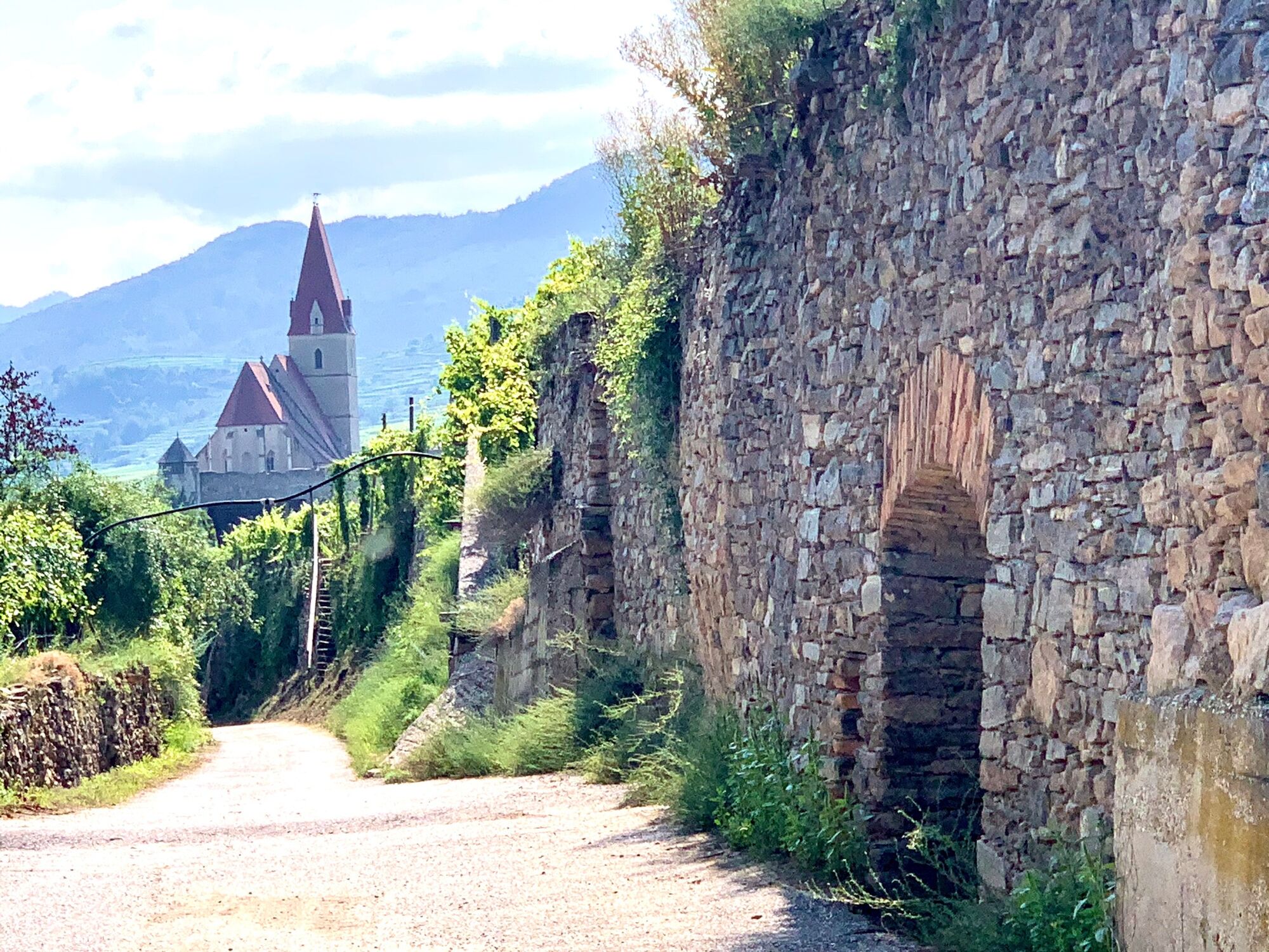
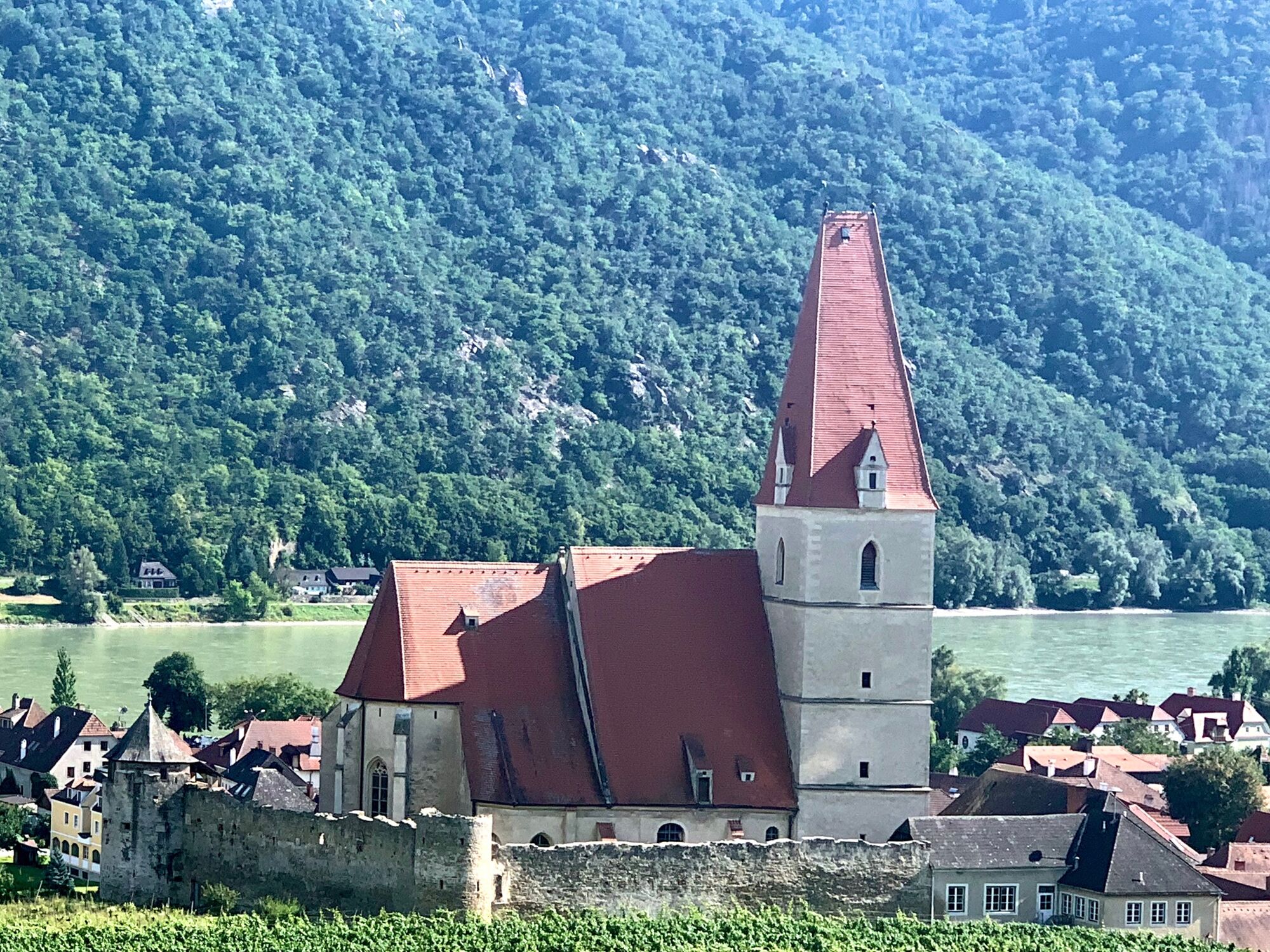
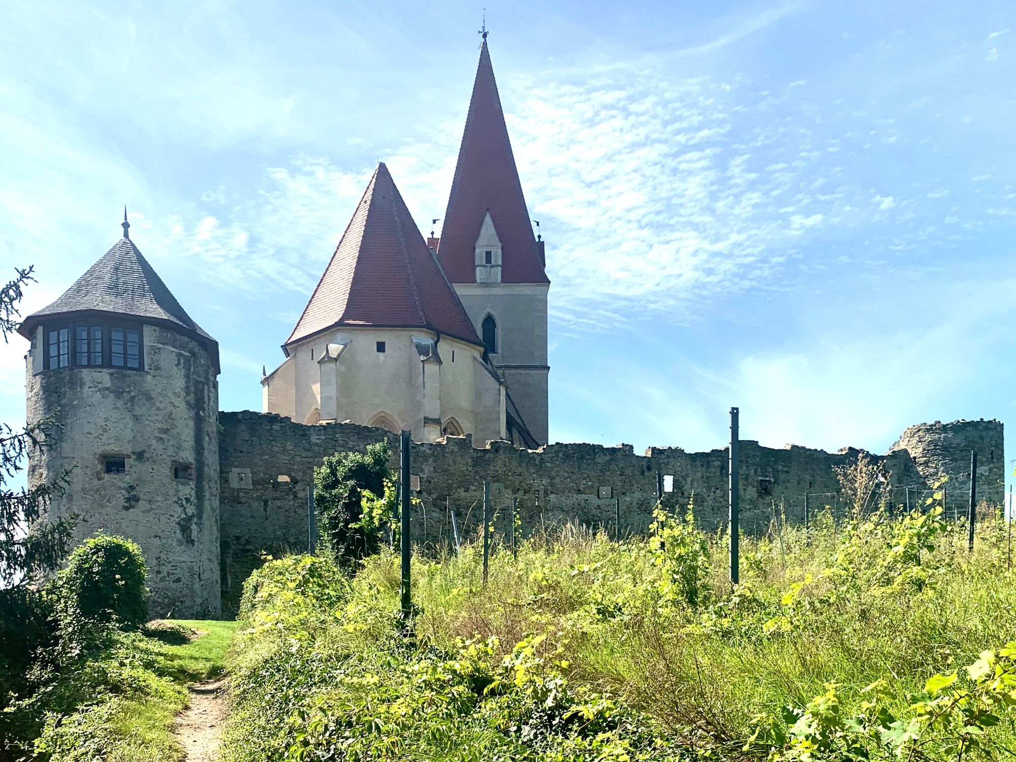
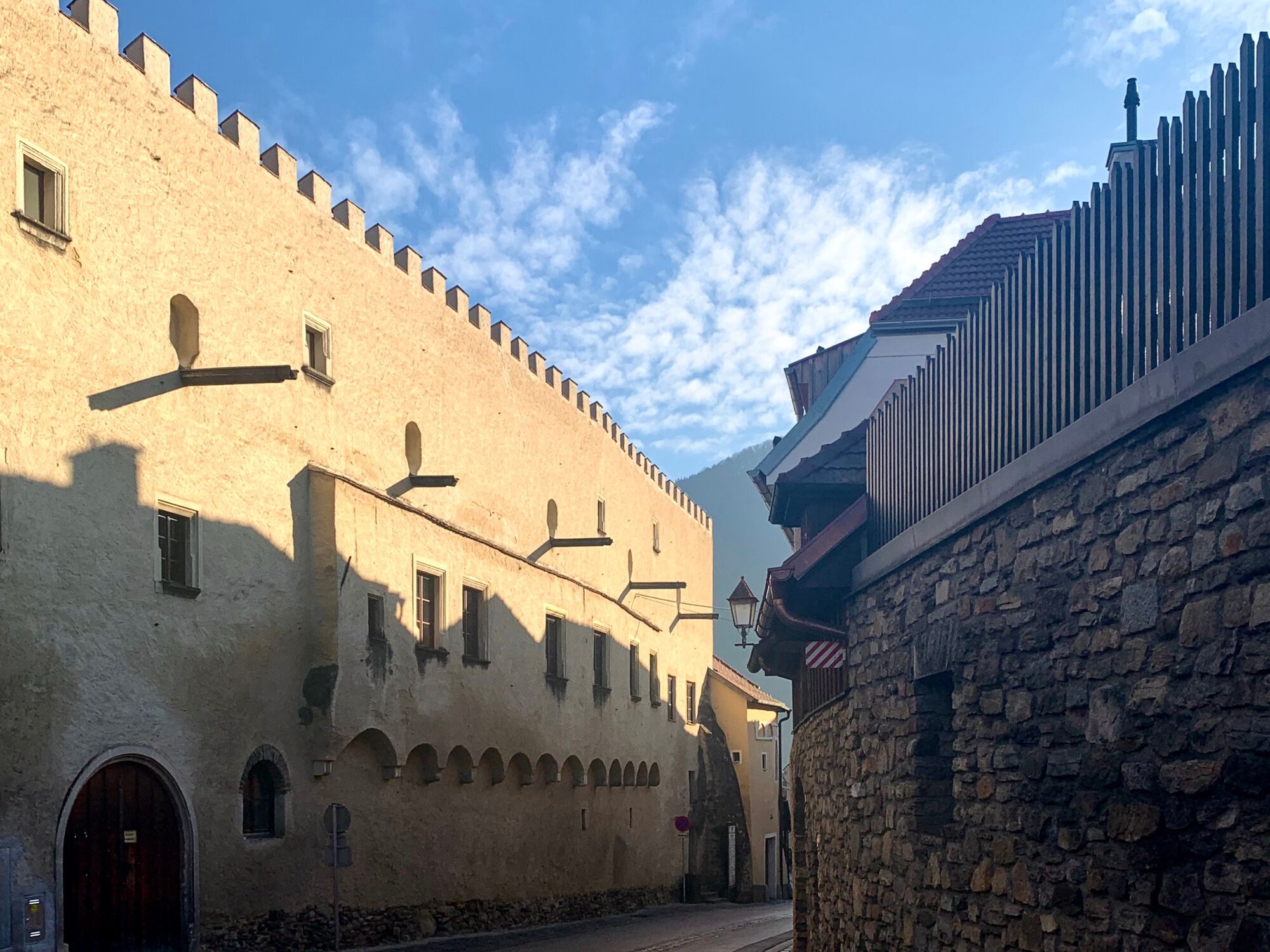
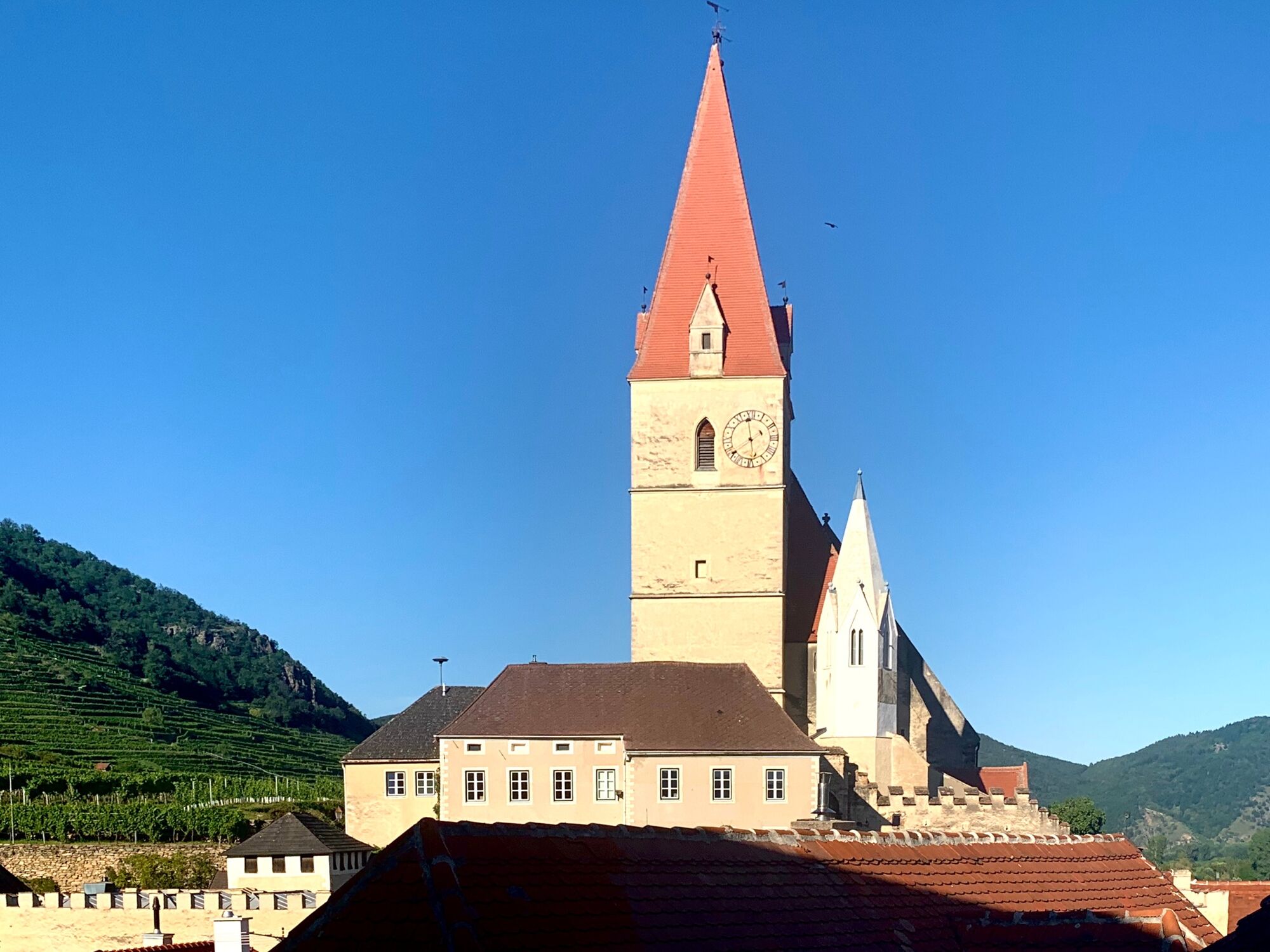
It begins on the eastern outskirts of Weißenkirchen and ascends diagonally over the slope of the south-east sloping Achleiten vineyard. At the upper edge of the Achleiten, the path crosses the Achleiten back in a westerly direction and leads down the western slope of the Achleiten to the Grablbachgraben. At the foot of the Weitenberg, it goes back to the center of Weißenkirchen with a view of the parish church, which is fortified with a preserved medieval wall.
Via the Weitenbergweg one arrives at the Bachgasse, at the end of which the mighty western front of the Teisenhoferhof is impressive. Around the corner, in front of the Teisenhoferhof, is the market square at the foot of the parish church.
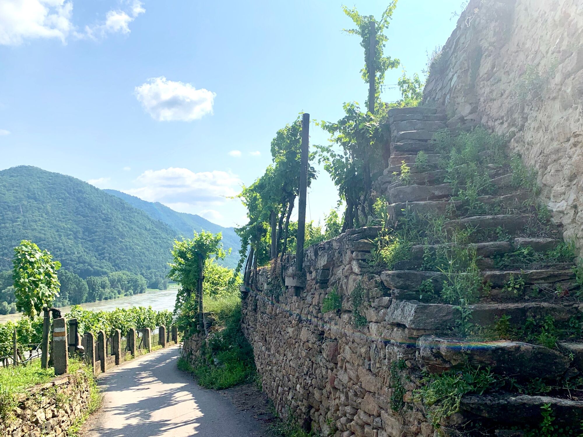
The panorama path deserves its name. It offers picture postcard-like views from the Achleiten to Weißenkirchen and the Wachau valley.
- Directions
-
The starting point of the Achleiten Panorama tour is in Weißenkirchen in the Wachau valley where the Rollfähre Straße hits the through road on the Danube, the Donau Bundesstraße B3. You go north on the Rollfährestraße which continues as Untere Bachgasse up to the market square, right off Untere Bachgasse. From the market square you go east on Kremser Straße until you reach the Grablbach where the Achleiten Panorama Trail begins.
The Achleiten Panorama trail is a circular route on the Achleiten in Weißenkirchen in the Wachau Valley. Leiten means mountain slope, especially a steep slope. This is particularly true of the Achleiten. "Ach" is a term for a stretch of water.
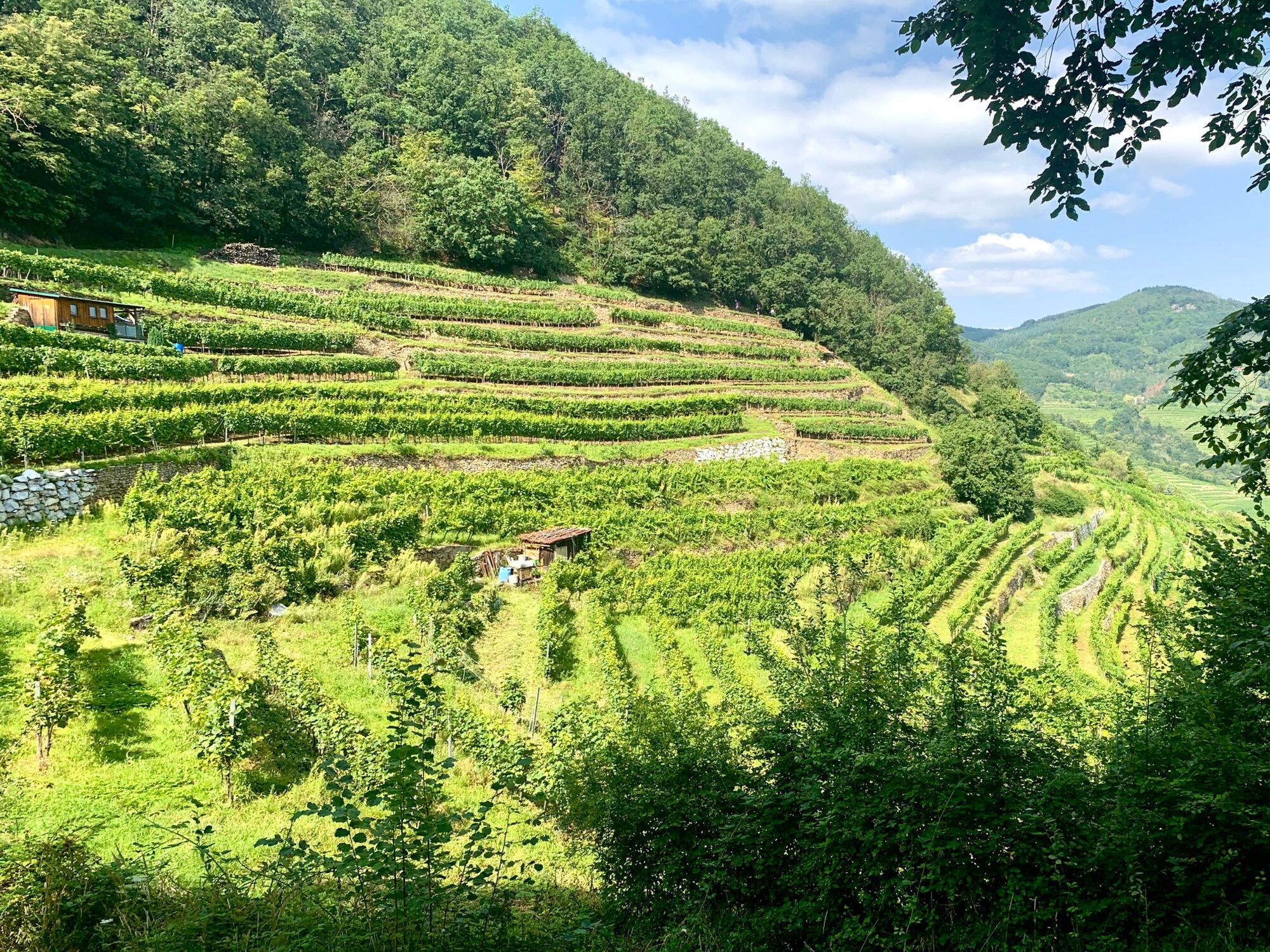
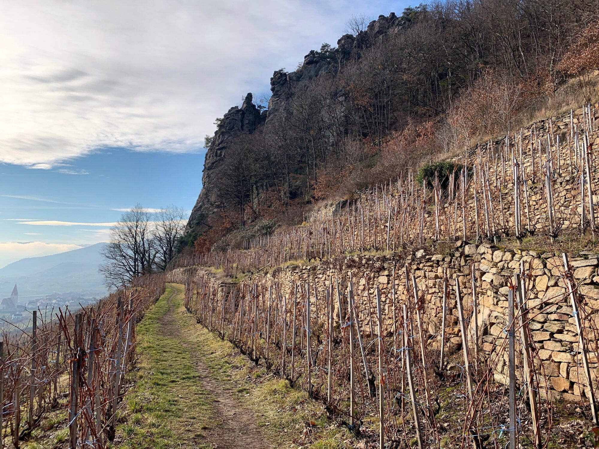
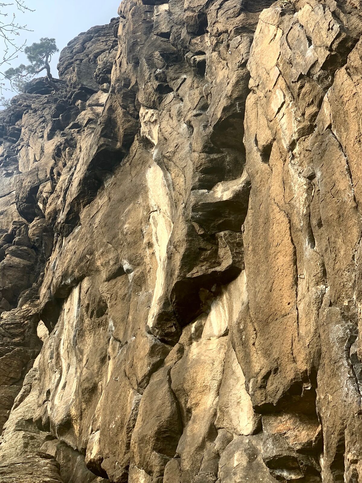
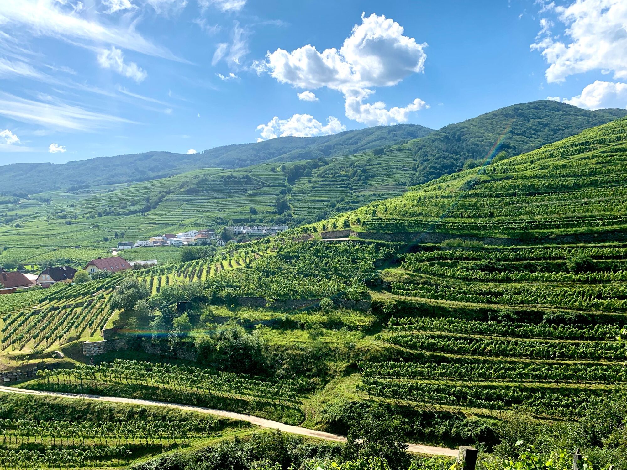
The Achleiten is bounded in the south by the Danube and in the west by the Grablbach. It is a southwestern branch of the Weitenberg, which borders Weißenkirchen to the east and northeast. The Panorama trail begins at the foot of the Achleiten, which is on the eastern edge of Weißenkirchen. It leads tangentially up the Achleiten in a north-easterly direction and divides the slope into the Achleiten vineyard, above the path, and the Klaus vineyard below the path.
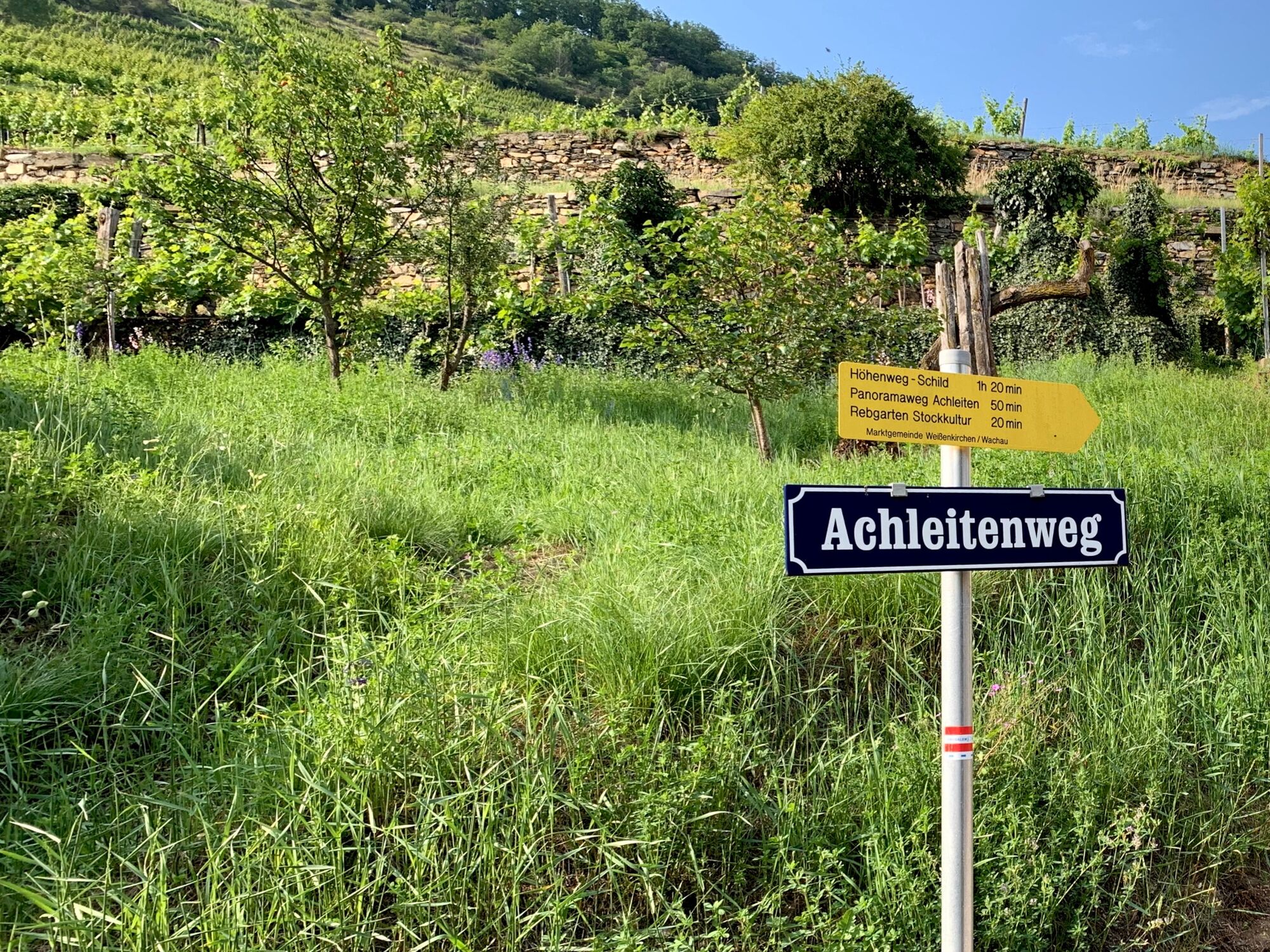
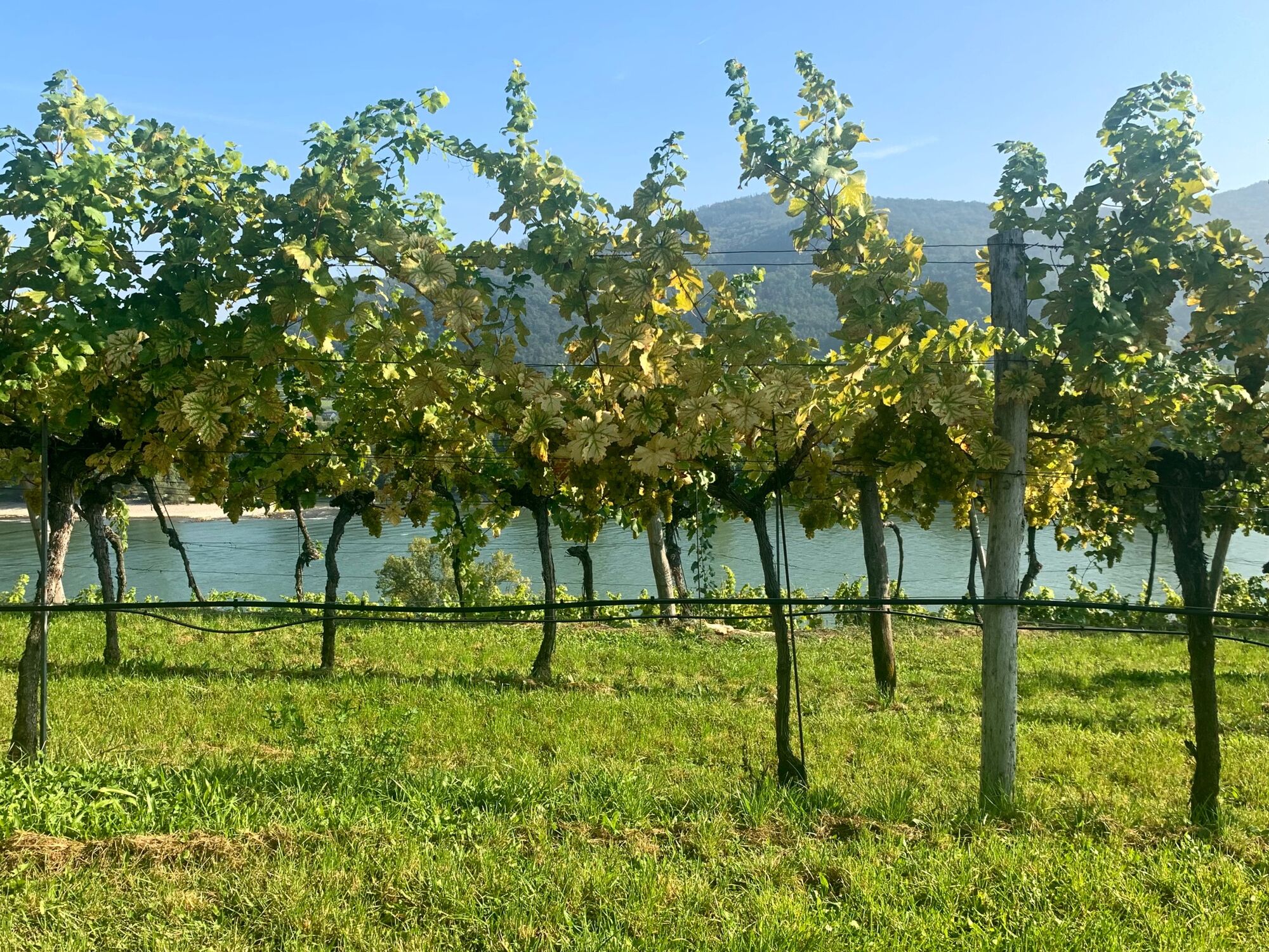
So you walk right through the vineyards. Many are familiar with these two vineyards because there a very good white wine, especially Rheinriesling, is grown. At the eastern end of the slope, when the path flattens out and continues to the north towards a ditch, the Panorama trail branches off to the left and continues uphill a little through the forest until the path returns to the open area of the vineyards and afterwards runs relatively flat on the upper edge of the Achleiten vineyard transversely in a westerly direction.
The Achleiten vineyard itself also runs from its south-east facing slope further around the slope to the west to the Grablbach. On the west-facing slope of the Achleiten, we descend into the Grablbachgraben to continue on the other side of the trench on the eastern slope of the Weitenberg vineyard in a southerly direction to Weißenkirchen. This path hits the Weitenbergweg onto which we go further down until we turn left on to the parish church.
From the parish church there are steps down to the market palce in front of the Teisenhoferhof.
From the market place you can return on Untere Bachgasse and Rollfährestraße to the starting point at the through road on the Danube.
- Highest point
- 312 m
- Endpoint
-
At the bus stop "Weißenkirchen/Wachau Fähre"
- Height profile
-

- Safety instructions
-
Sturdy shoes are necessary as it is a little steep uphill a few times on rough ground.
- Tips
-
If you want to do a slightly longer tour, we recommend that instead of turning left at the end of the Achleiten you keep on walking in the same direction following the sign "Im Schild" to the Schildbachgraben. From there the trail goes up a trench to the "Wachauer Höhenweg".
When you hit the "Wachauer Höhenweg" you make a left turn and follow this trail back to Weißenkirchen.
The best way to orientate yourself is to select the "OpenStreetMap" map in your outdooractive app.
- Directions
-
From the west on the A1 west autobahn to Melk and on the B3 Wachau federal road on the left bank of the Danube to Weißenkirchen.
From Vienna on the Danube bank motorway A22 until the exit onto the Stockerauer Schnellstraße S5 in the direction of Krems.
In Krems, the S5 turns into the Wachau federal road B3, on which you can continue to Weißenkirchen in the Wachau valley.
- Public transportation
- Parking

-

-
AuthorThe tour Where is the best place to hike? is used by outdooractive.com provided.