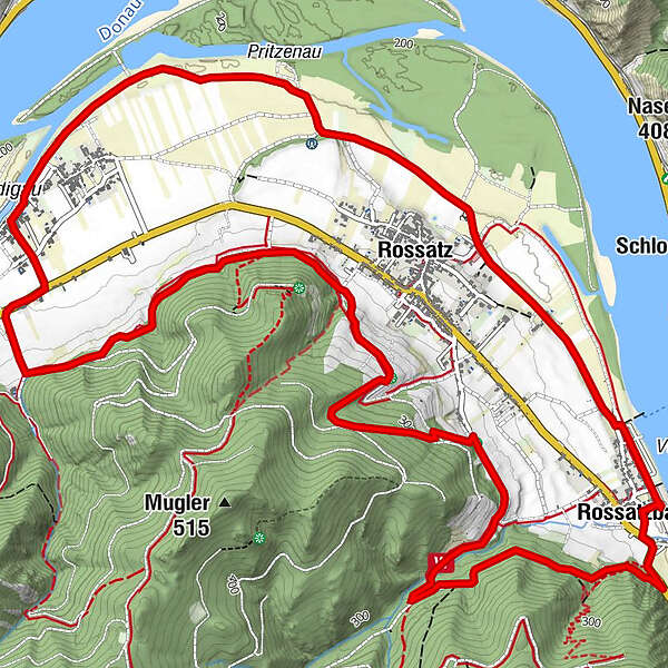
Panoramaweg Rossatz

Hiking
Map
Hide map
Print

Which problem do you want to report on this tour?

Tour data
9.41km
196 - 345m
Distance
199hm
183hm
Ascent
03:00h
 
Duration
GPS Downloads
  • GPX GPS Exchange Format (XML)
  • KML Google Earth, Google Maps
QR Download Codes for Mobile Phones

General info

Refreshment stop
A lot of view
Other tours in the regions

Popular tours in the area

St. Michael-Rundweg

medium Hiking
7.05km | 219hm | 02:30h

Vogelbergsteig Dürnstein Wachau

medium Hiking
4.75km | 324hm | 04:00h

Hirschwand und Seekopf

medium Hiking
9.09km | 550hm | 03:30h

Rote Wand und Hoher Stein

medium Hiking
7.8km | 600hm | 02:30h