© TWV-Kirchberg

© TWV-Kirchberg

© TWV-Kirchberg

© TWV Kirchberg

Tour data
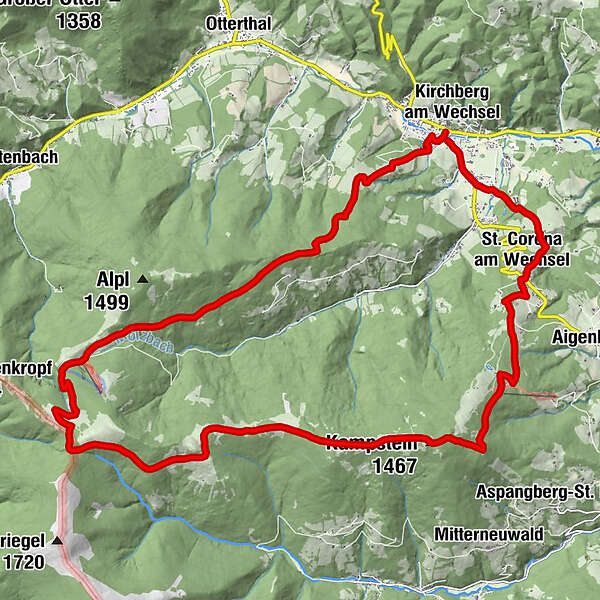
26.88km
557
- 1,560m
962hm
1,022hm
06:00h
- Brief description
-
Genießen Sie das herrliche Panorama von Rax und Schneeberg
- Difficulty
-
medium
- Rating
-
- Starting point
-
Gemeindeamt Kirchberg am Wechsel
- Route
-
Kirchberg am WechselKranichberger Schwaig10.8 kmDreiländereck11.4 kmFeistritzer Schwaig (1,438 m)13.7 kmSchwarzer Herrgot14.7 kmKampstein (1,467 m)18.2 kmHerrgottschnitzerhütte19.3 kmSt. Corona am Wechsel23.3 kmPfarrkirche St. Corona23.3 kmWieden24.3 kmKapelle24.4 kmTratten25.5 kmGourmetrestaurant Gaumenkitzel25.5 kmWirtshaus Molzbachhof25.5 kmKirchberg am Wechsel26.8 km
- Best season
-
JanFebMarAprMayJunJulAugSepOctNovDec
- Highest point
- 1,560 m
- Endpoint
-
Gemeindeamt Kirchberg am Wechsel
- Rest/Retreat
-
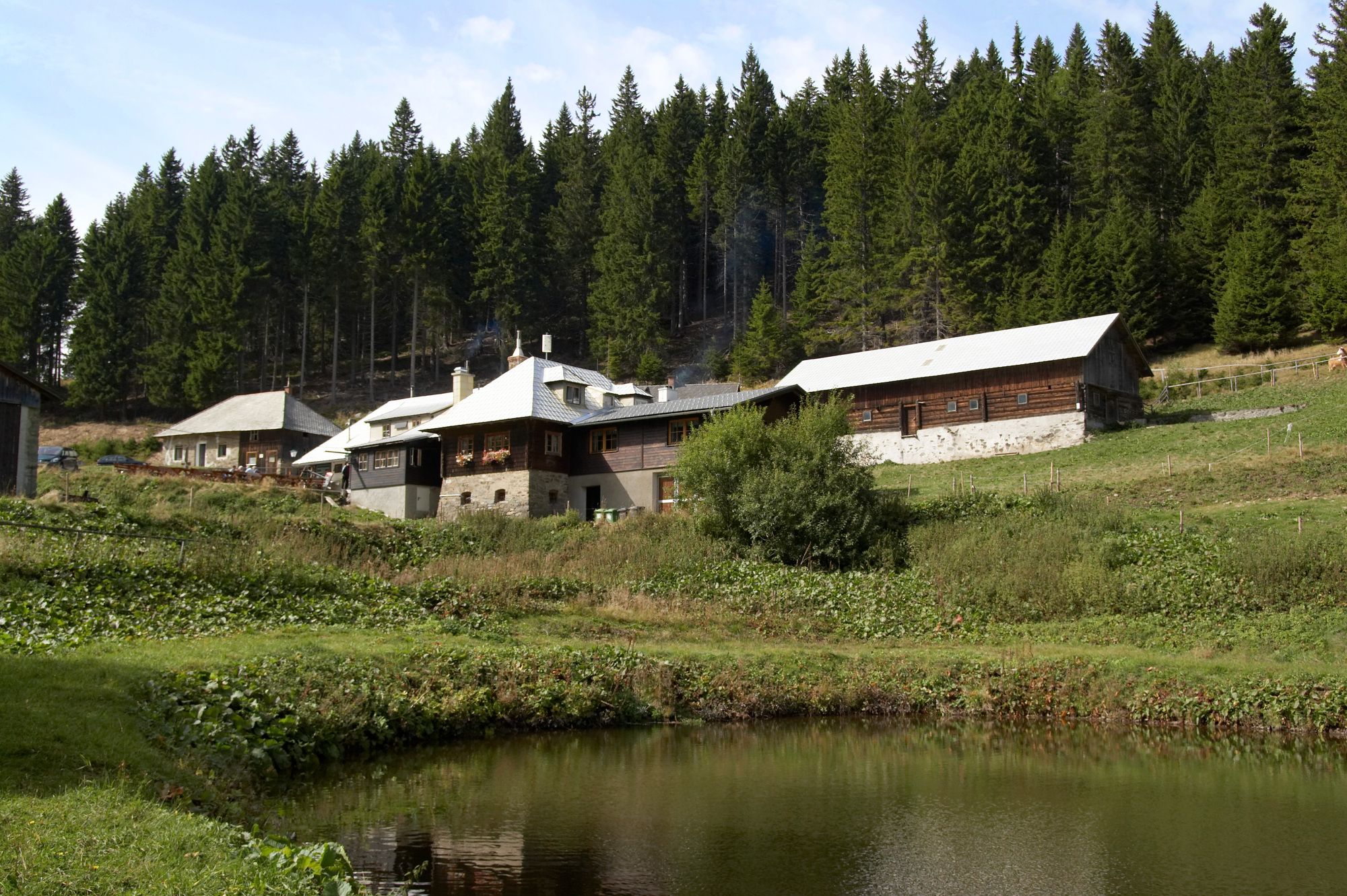
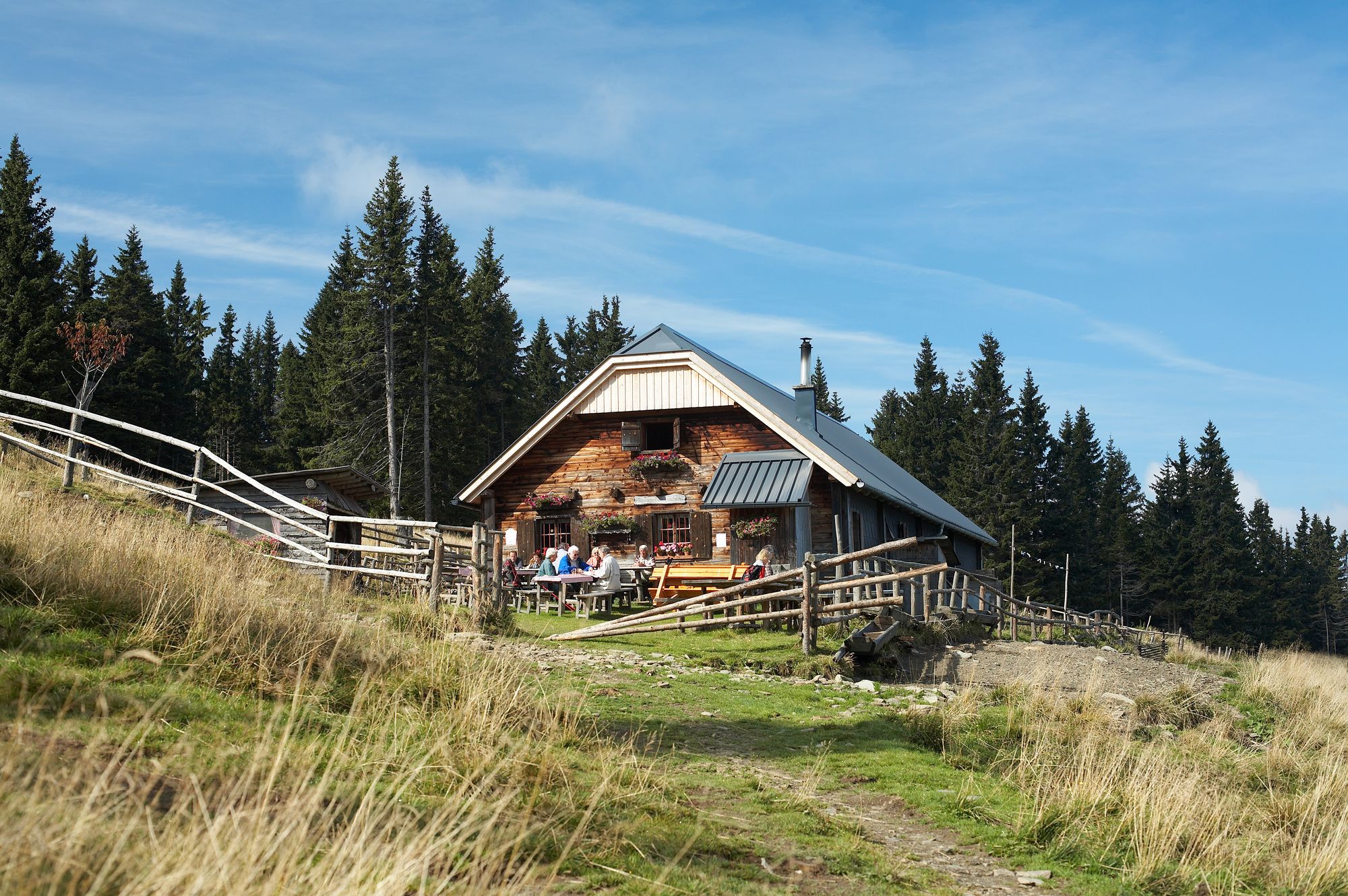
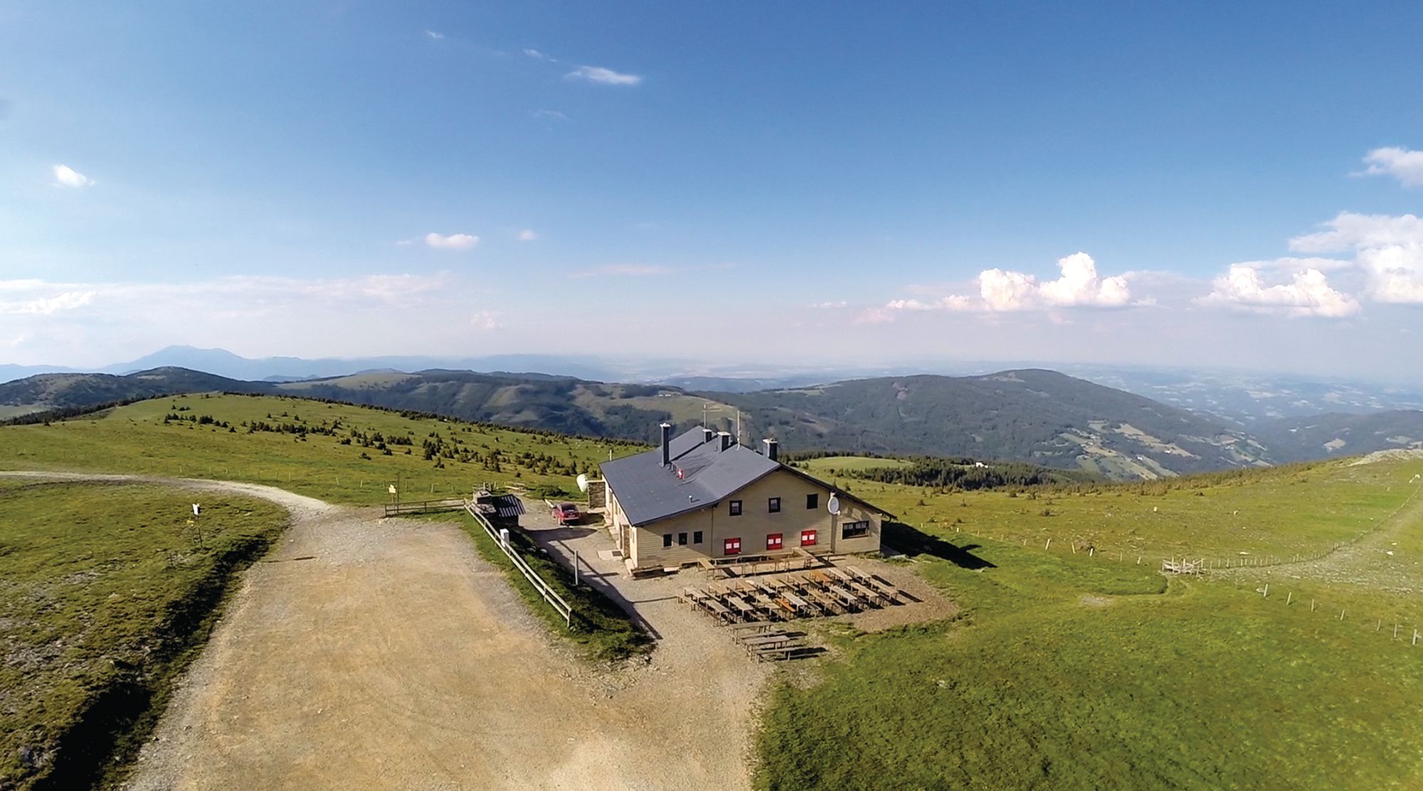
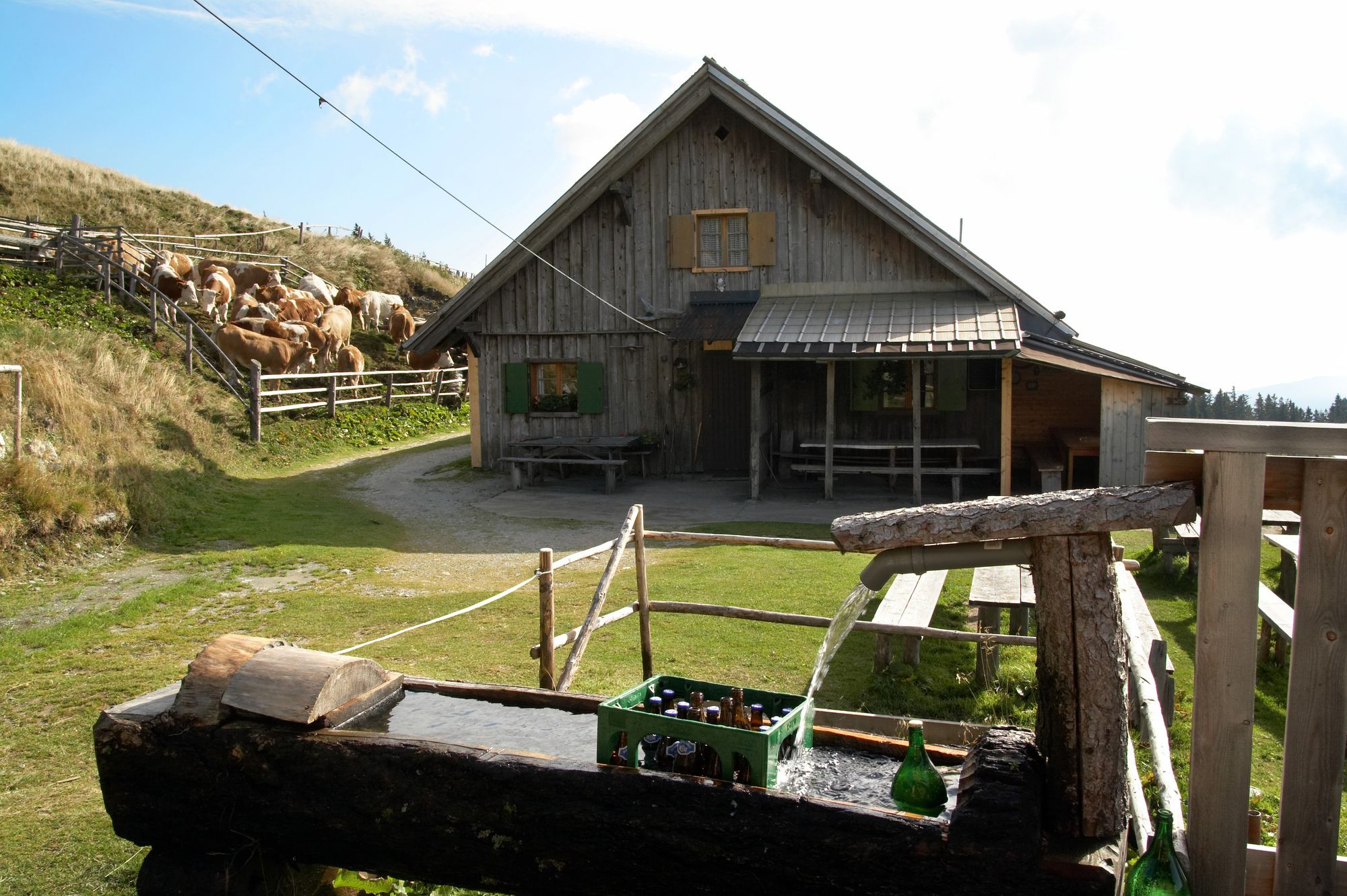
Steyersberger Schwaig: täglich geöffnet, Dienstag Ruhetag
Tel. 0664/3760711Kranichberger Schwaig: von Mitte Mai bis Mitte September täglich geöffnet
Tel.: 0676/3925500Feistritzer Schwaig: von Mitte Mai bis Mitte September täglich geöffnet
Tel. 0680/1229758, 0676/7129314 - Ticket material
-
Freytag & Berndt WK 5502, Semmering-Gloggnitz-Wechsel-Friedberg
All ratings
Flo Ho
30. Mar. 2024
Wechselwandwrung
GPS Downloads


Trail conditions
Asphalt
Gravel
Meadow
Forest
Rock
Exposed
Other tours in the regions