© (c) Arnold Lengauer - Arnold Lengauer

© (c) Arnold Lengauer - Arnold Lengauer

© (c) Arnold Lengauer - Arnold Lengauer
© (c) Arnold Lengauer - Arnold Lengauer

© (c) Arnold Lengauer - Arnold Lengauer

© (c) Arnold Lengauer - Arnold Lengauer

© (c) Arnold Lengauer - Arnold Lengauer

© (c) Arnold Lengauer - Arnold Lengauer
© (c) Arnold Lengauer - Arnold Lengauer
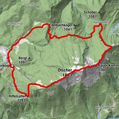
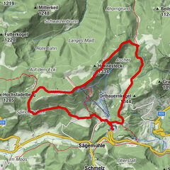
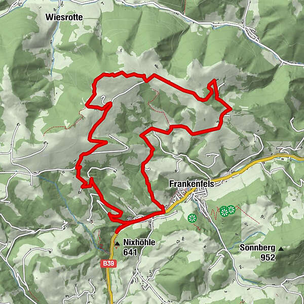
Tour data
13km
467
- 925m
510hm
509hm
04:30h
- Brief description
-
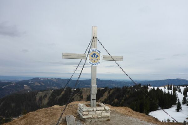
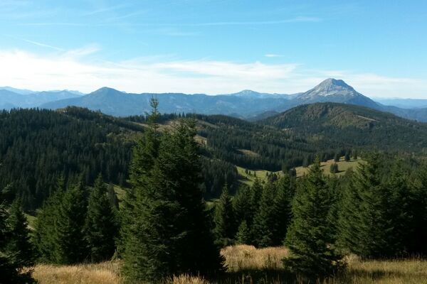
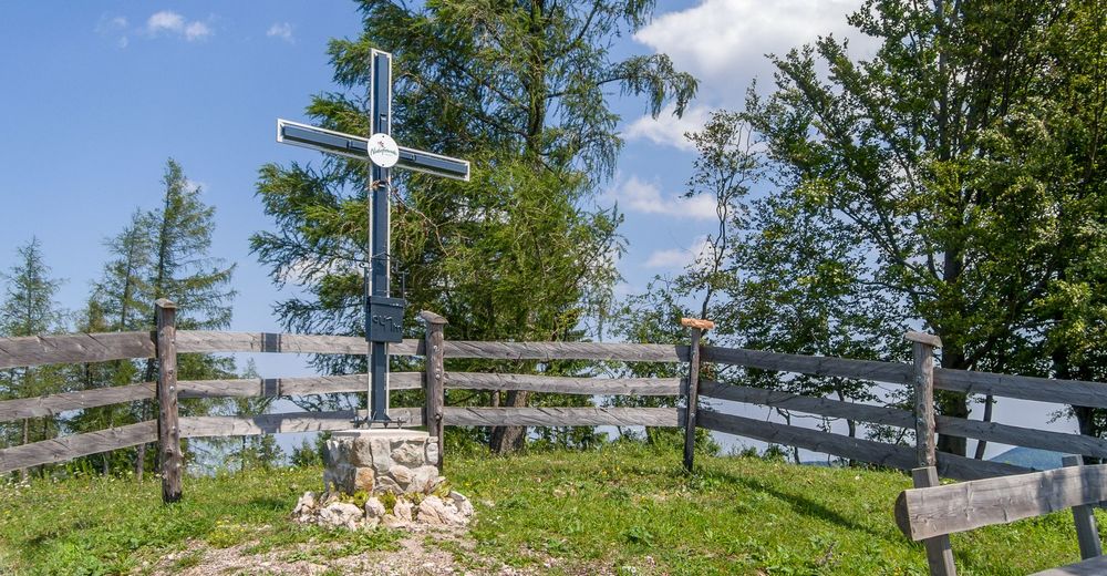
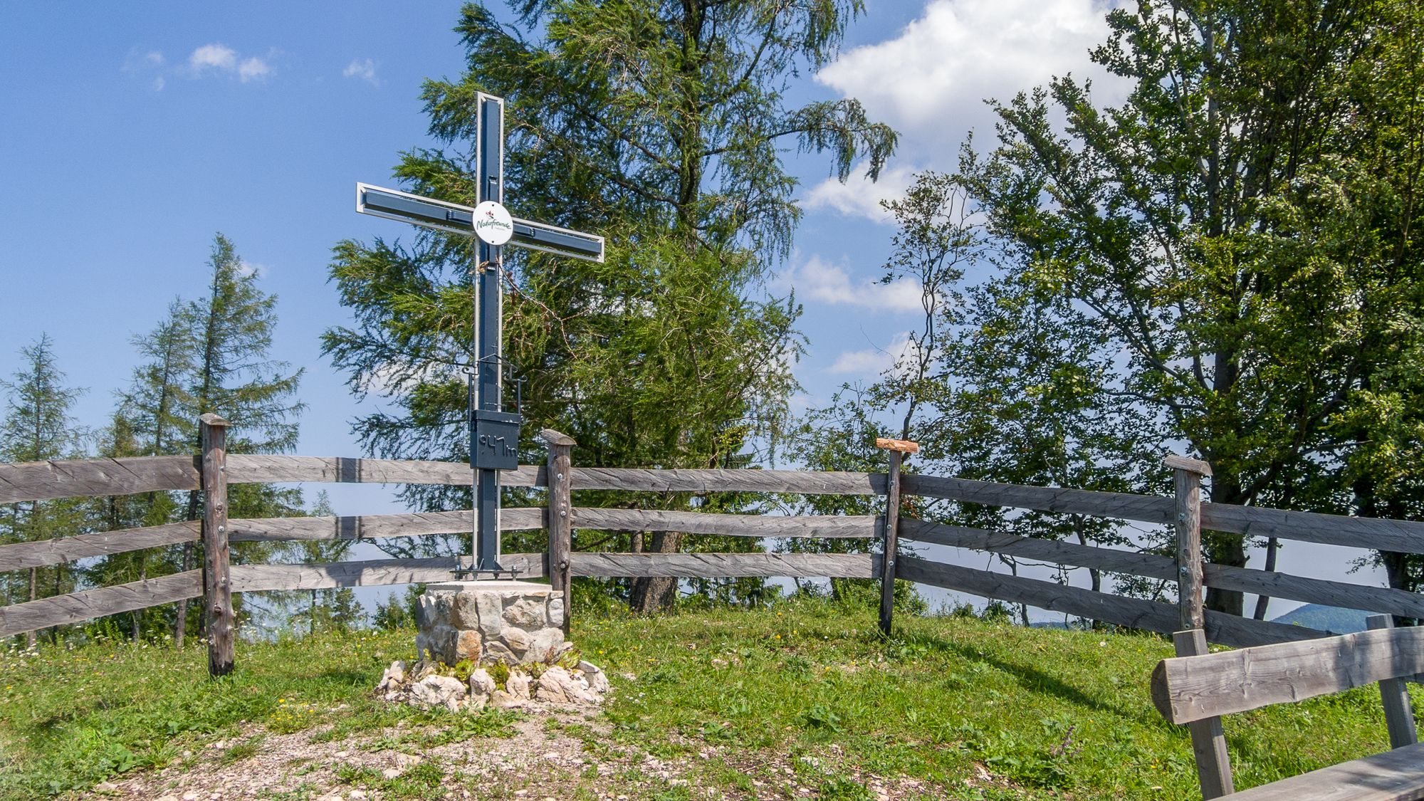
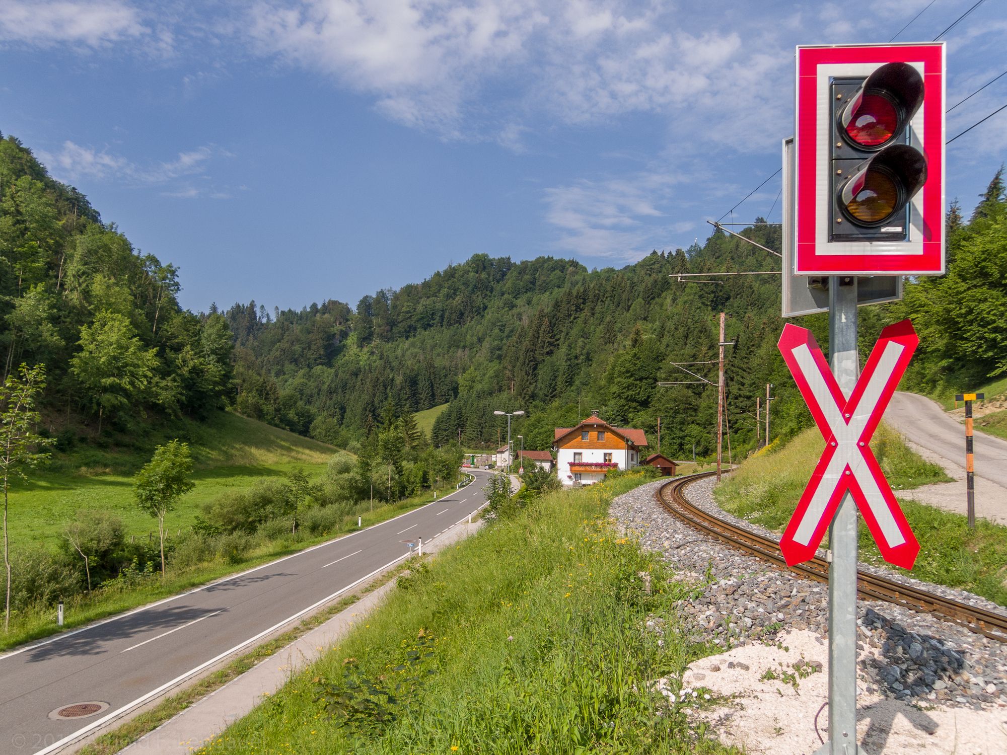
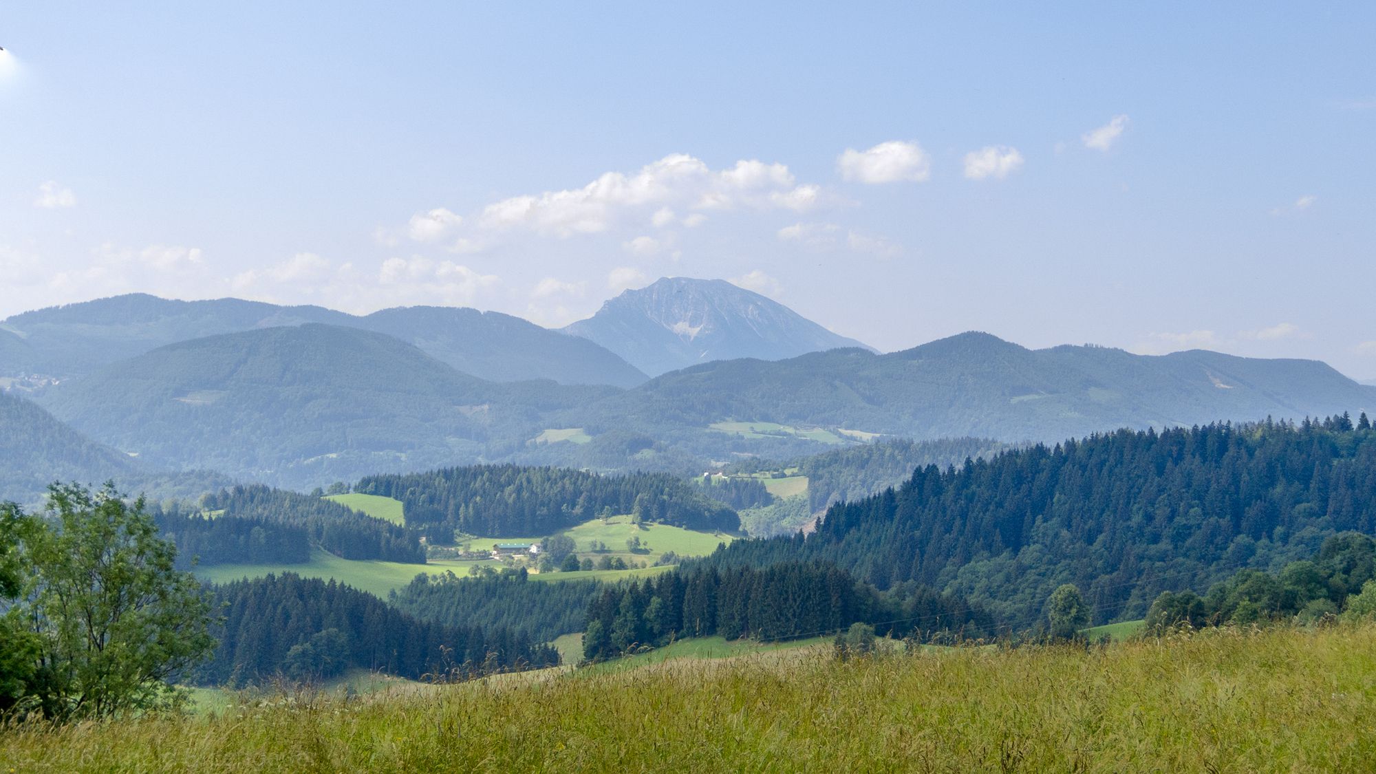
Rundweg von Frankenfels zum Naturfreundekreuz am Frankenfelsberg (941m)
- Difficulty
-
easy
- Rating
-
- Starting point
-
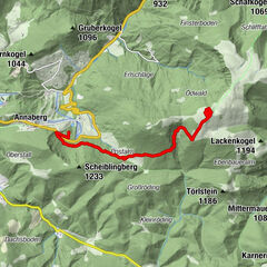
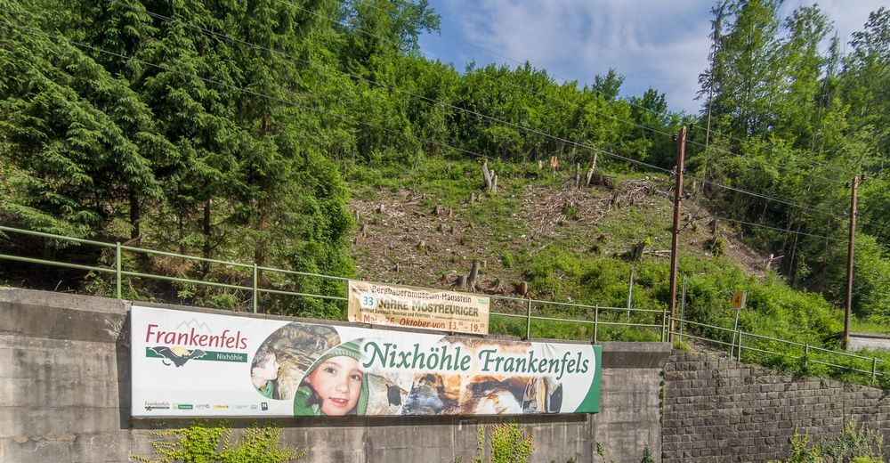
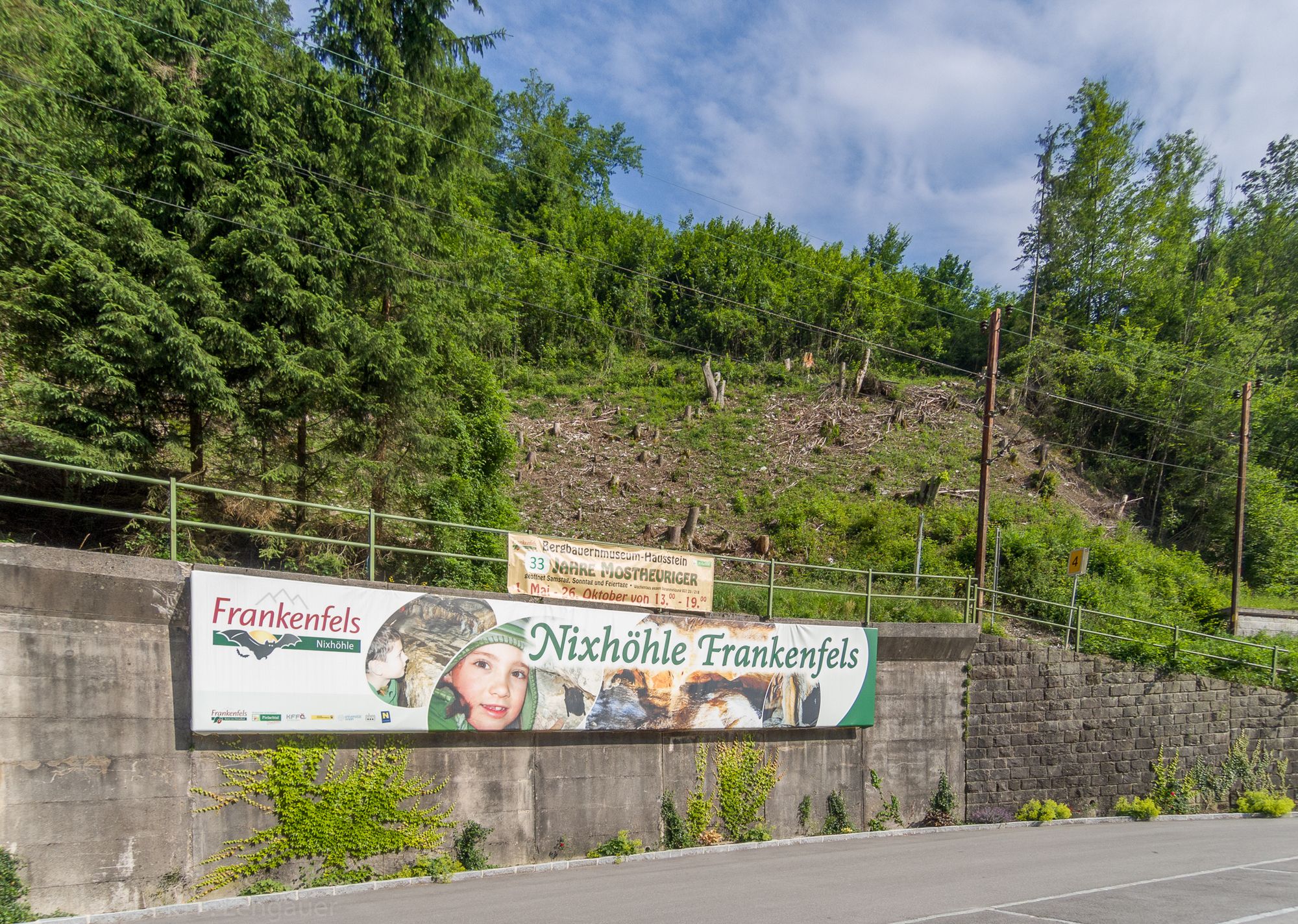
Haltestelle Frankenfels oder Parkplatz Nixhöhle
- Best season
-
JanFebMarAprMayJunJulAugSepOctNovDec
- Highest point
- Frankenfelsberg (925 m)
- Endpoint
-
Gipfelkreuz am Frankenfelsberg
- Rest/Retreat
-
Nach der Tour zum Mostheurigen Hausstein

- Source
- Arnold Lengauer
GPS Downloads


Trail conditions
Asphalt
(9.5km)
Gravel
Meadow
(2.5km)
Forest
(1.0km)
Rock
Exposed
Other tours in the regions
-
Mostviertel
2451
-
Pielachtal
1113
-
Frankenfels
301