


Tour data
6.21km
201
- 324m
116hm
123hm
01:19h
- Brief description
-
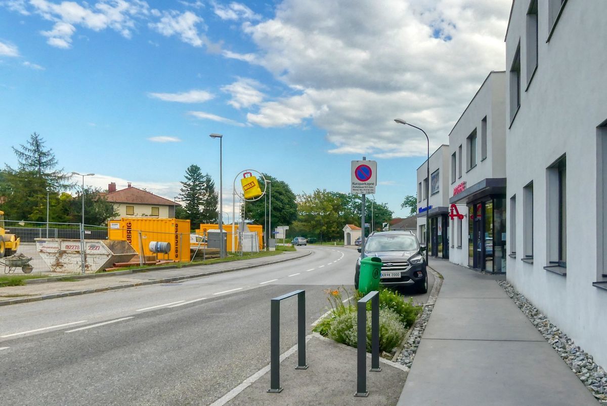
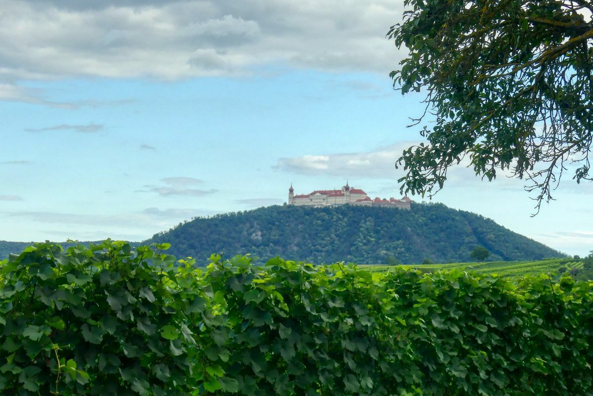
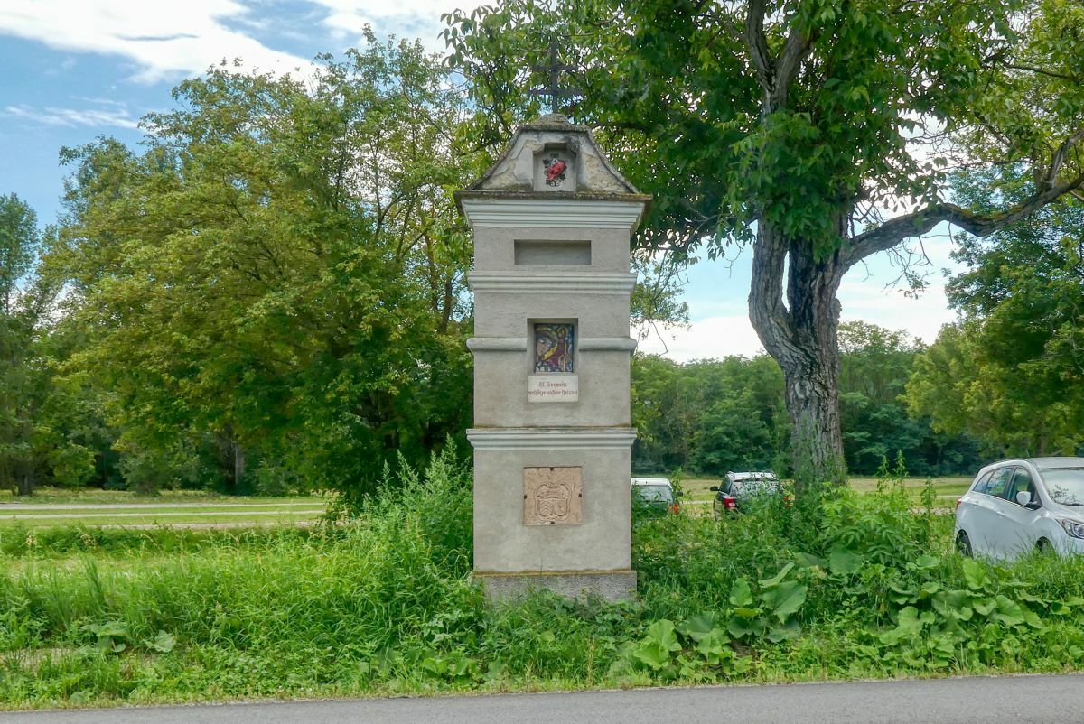
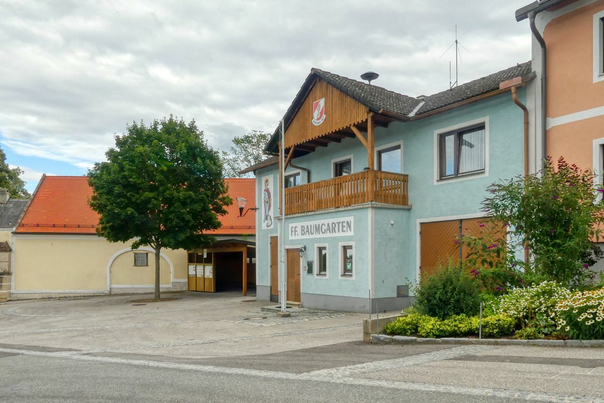
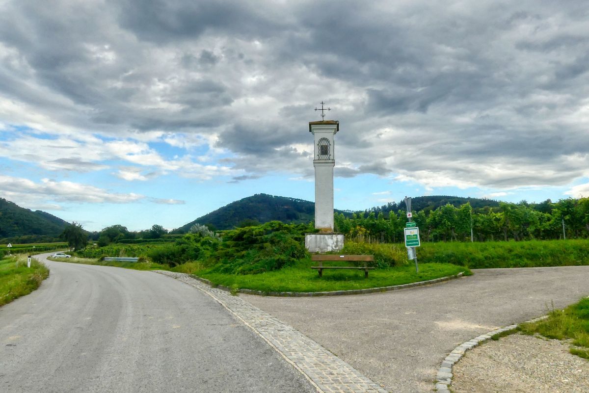
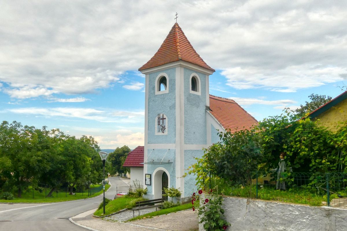
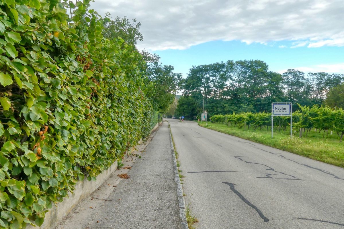
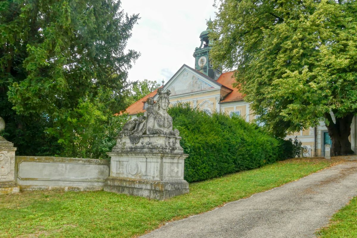
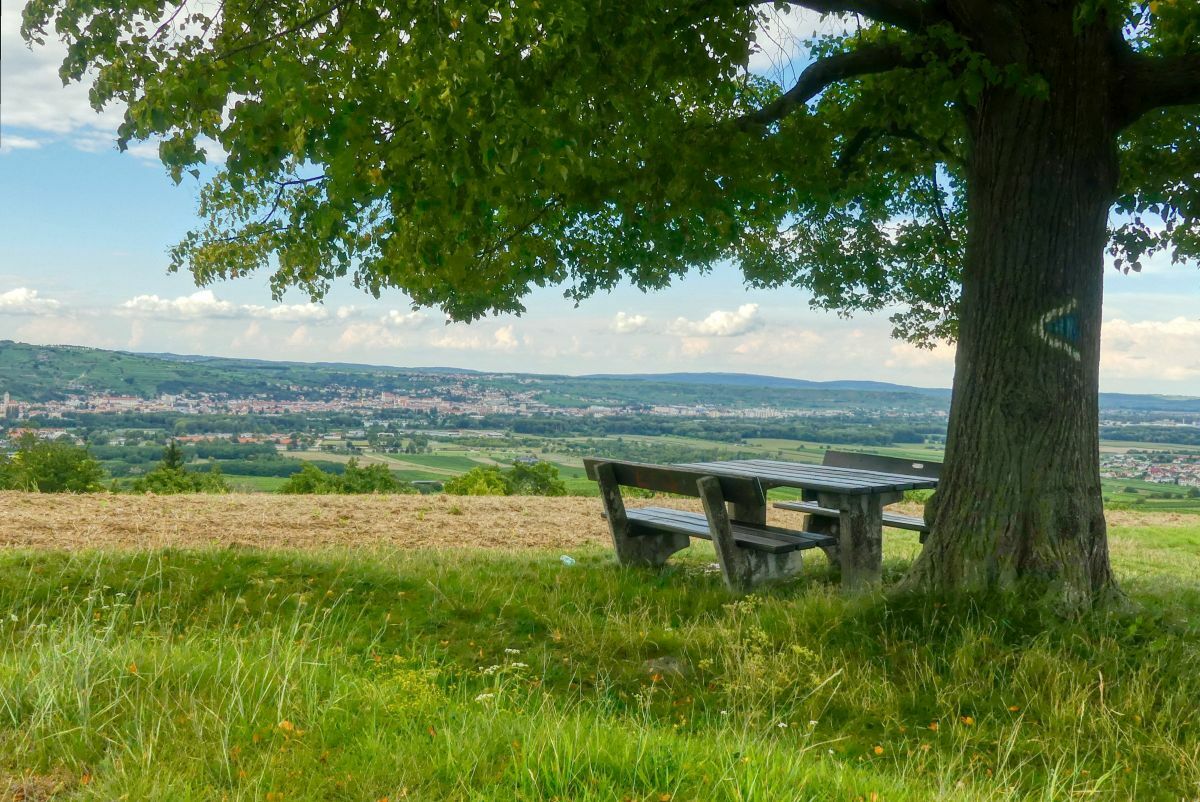
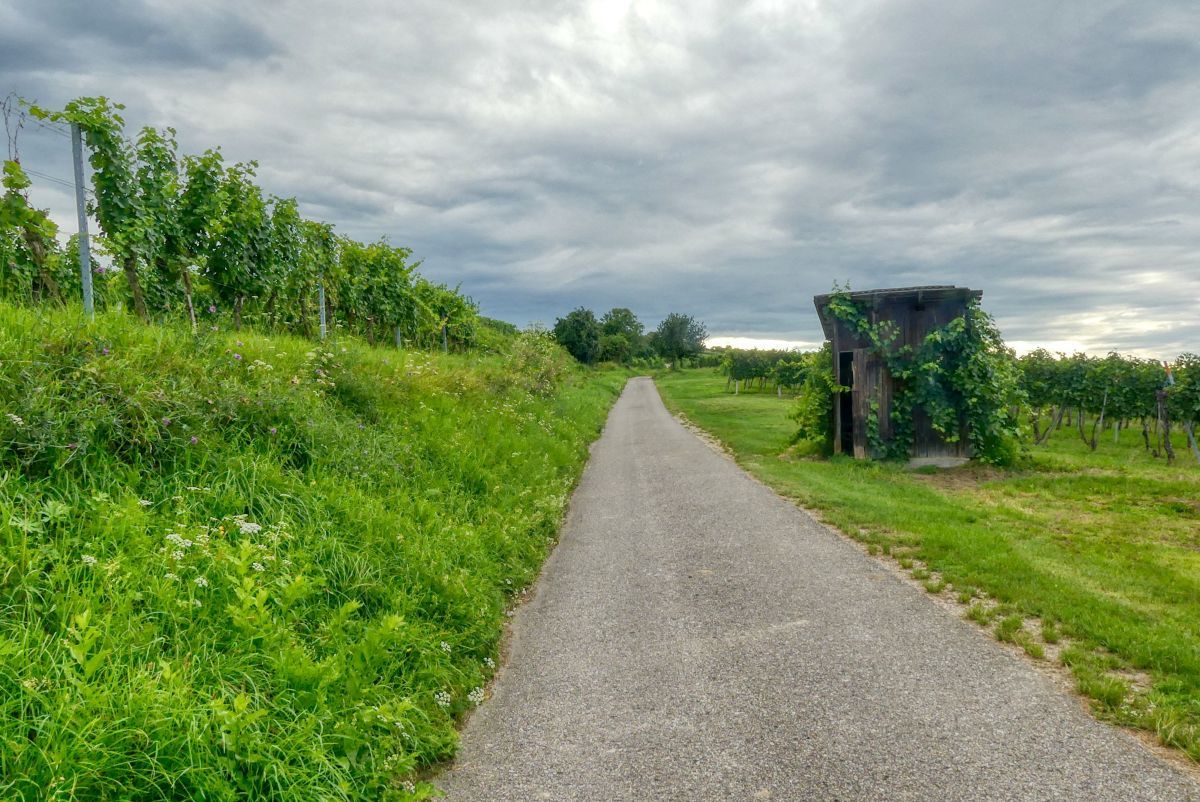
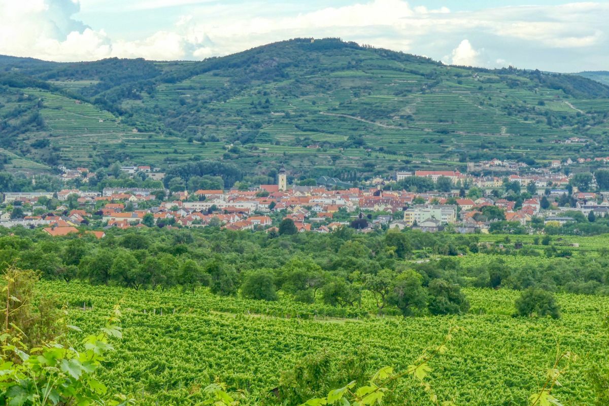
Eine Rundwanderung von Mautern über die Rieden Silberbichl und Leukuschberg und die Ortschaft Baumgarten.
- Difficulty
-
easy
- Rating
-
- Starting point
-
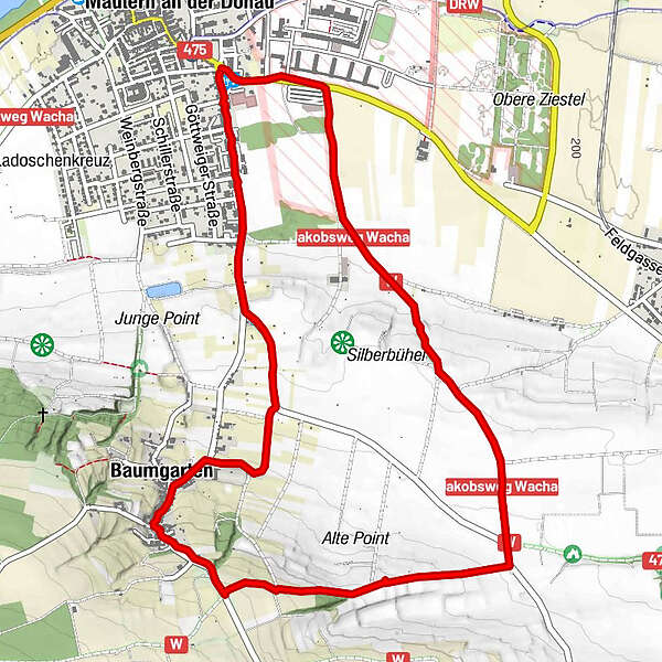
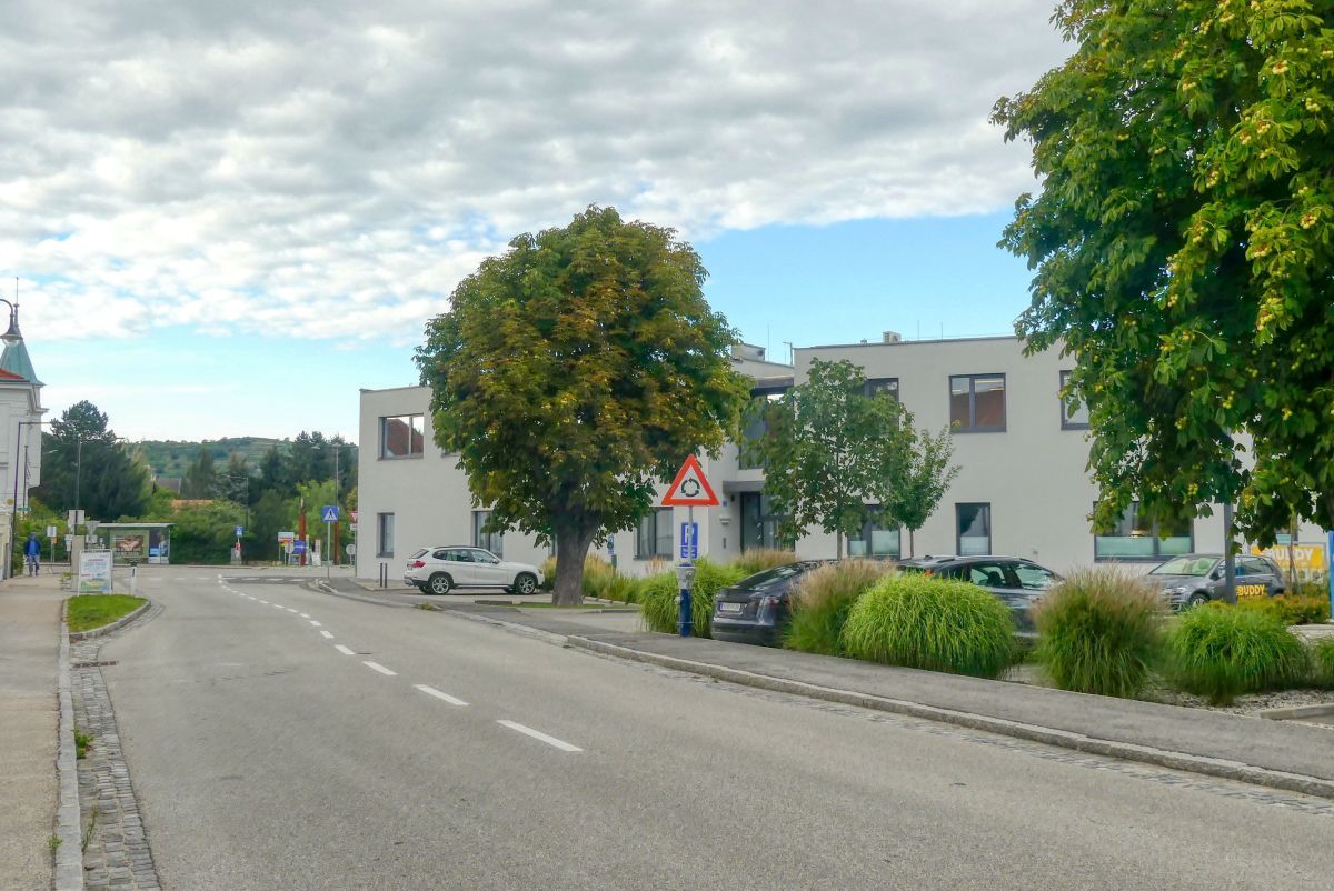
S-Centrum (Kremser Bank) beim "Billa-Kreisverkehr" in Mautern
- Route
-
Mautern an der DonauWeinbau Amon4.0 kmBaumgarten4.1 kmMautern an der Donau6.2 km
- Best season
-
JanFebMarAprMayJunJulAugSepOctNovDec
- Highest point
- 324 m
- Endpoint
-
S-Centrum (Kremser Bank) beim "Billa-Kreisverkehr" in Mautern


- Source
- Weinbergwandern.at
GPS Downloads


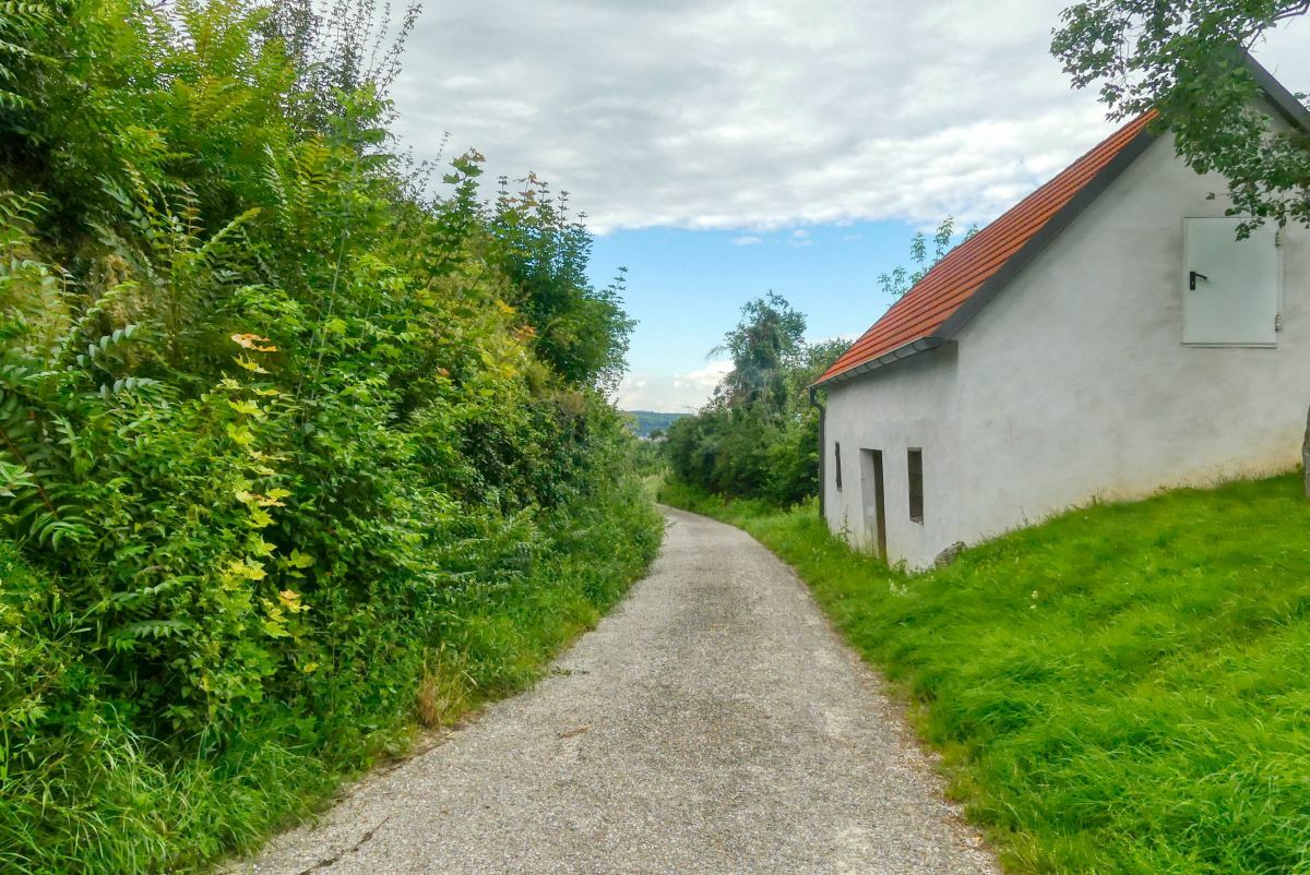
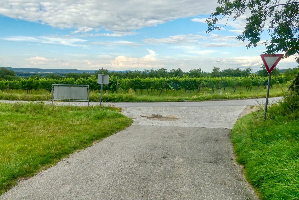
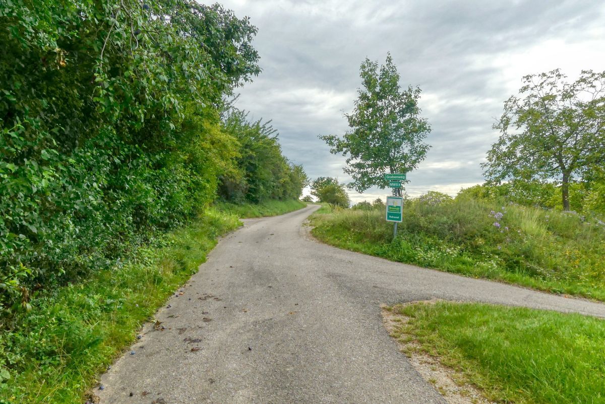
Trail conditions
Asphalt
Gravel
Meadow
Forest
Rock
Exposed
Other tours in the regions
-
Donau Niederösterreich
2287
-
Dunkelsteinerwald
1373
-
Mautern an der Donau
697


