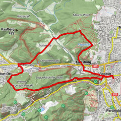
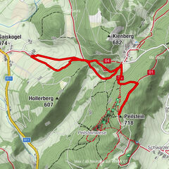
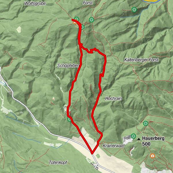
Hoher Lindkogel - Eisernes Tor

Logo Hoher Lindkogel - Eisernes Tor
Tour data
9.6km
334 - 826m
Distance
489hm
488hm
Ascent
03:00h
 
Duration
Difficulty
easy
Rating
Technique
Fitness
Landscape
Experience
Best season
Jan
Feb
Mar
Apr
May
Jun
Jul
Aug
Sep
Oct
Nov
Dec
Highest point
826 m

Overall rating

5

0

%

4

0

%

3

0

%

2

0

%

1

0

%

Error
An error has occurred. Please try again.
Thank you for your review

Rating has been deleted

GPS Downloads
  • GPX GPS Exchange Format (XML)
  • KML Google Earth, Google Maps
QR Download Codes for Mobile Phones

Trail conditions

Asphalt
Gravel
Meadow
Forest
Rock
Exposed
Other tours in the regions

Popular tours in the area

Schöpfl

easy Hiking
9.52km | 294hm | 03:00h

Wienerwald: Einmal Hoher Lindkogel und zurück

easy Hiking
3.95km | 554hm | 04:30h

Peilstein Adventure Trail

easy Hiking
5.55km | 262hm | 02:30h