


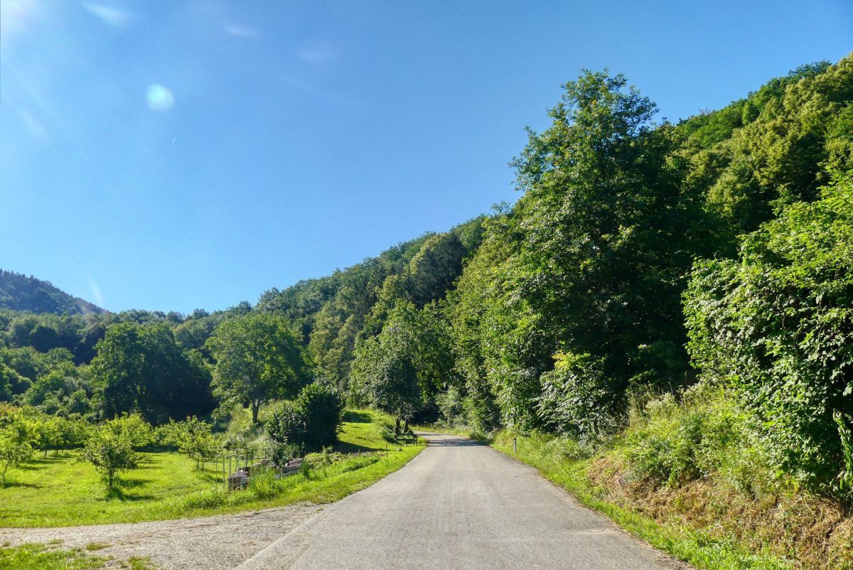
Tour data
6.55km
199
- 389m
210hm
219hm
02:00h
- Brief description
-
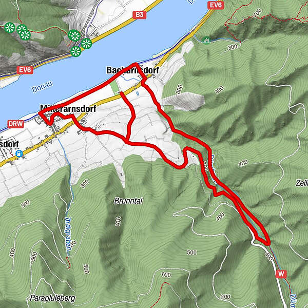
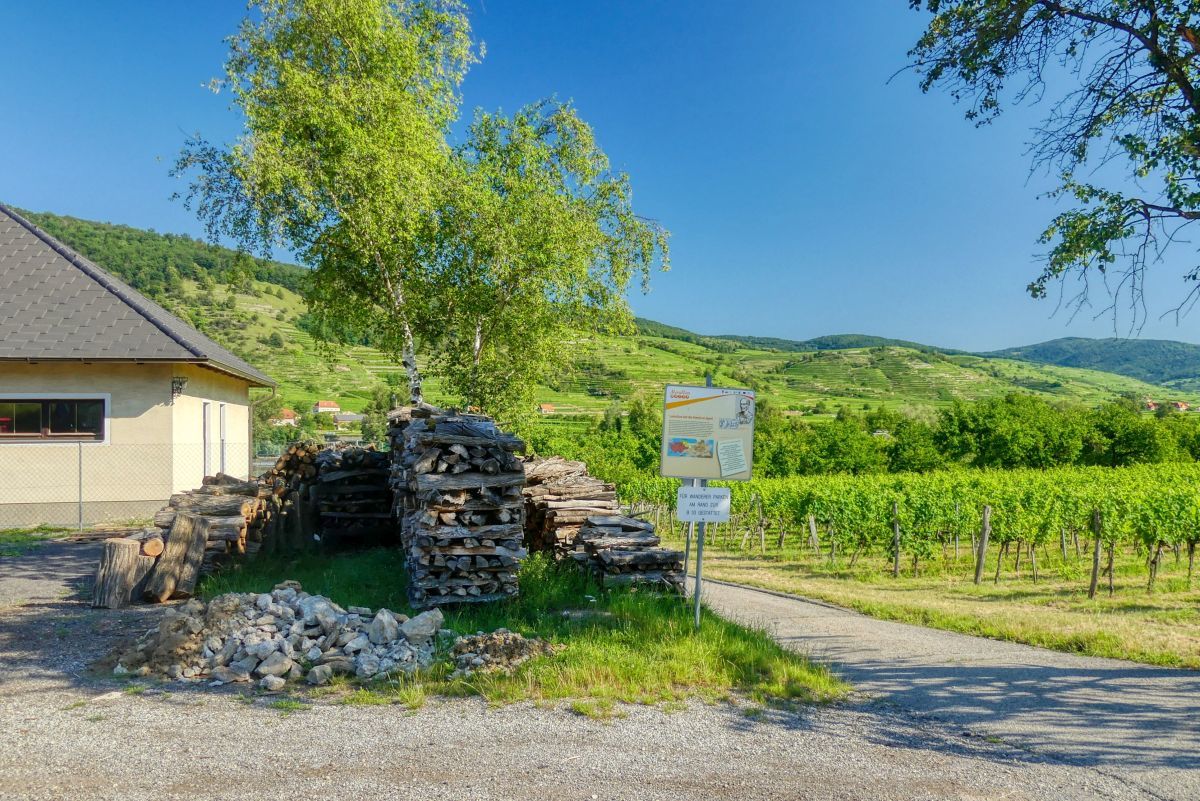
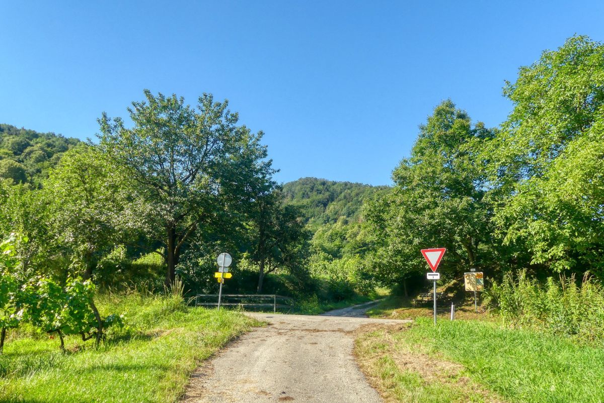
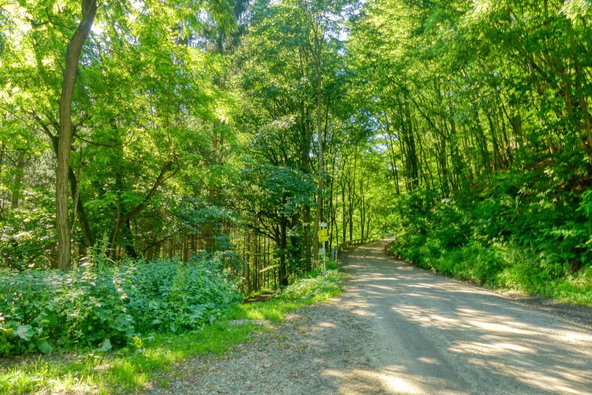
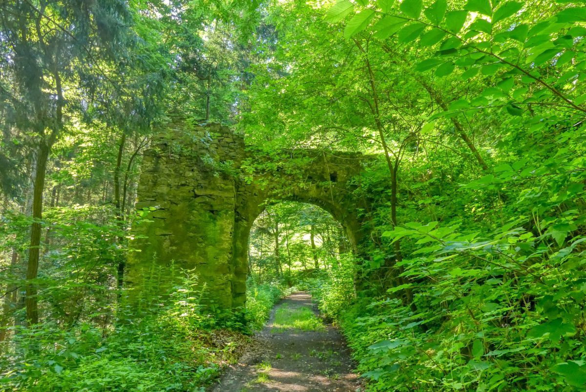
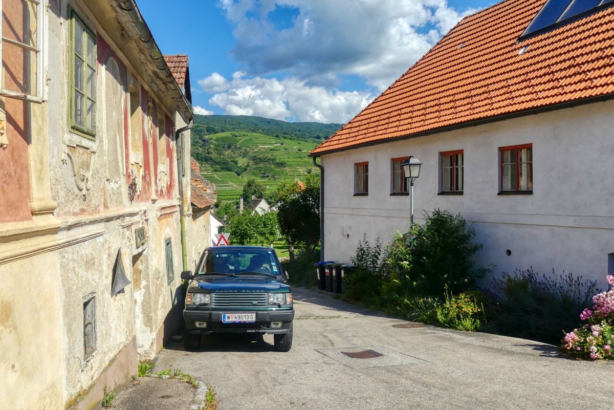
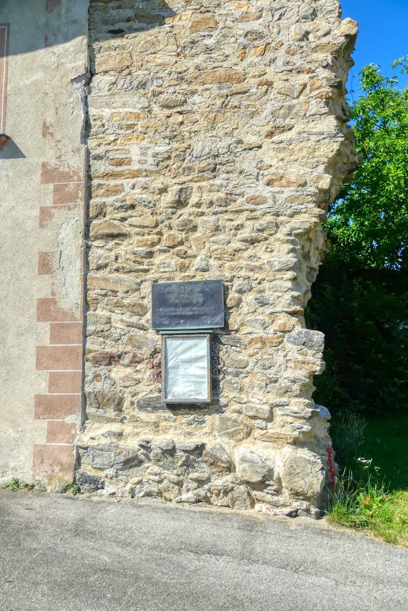
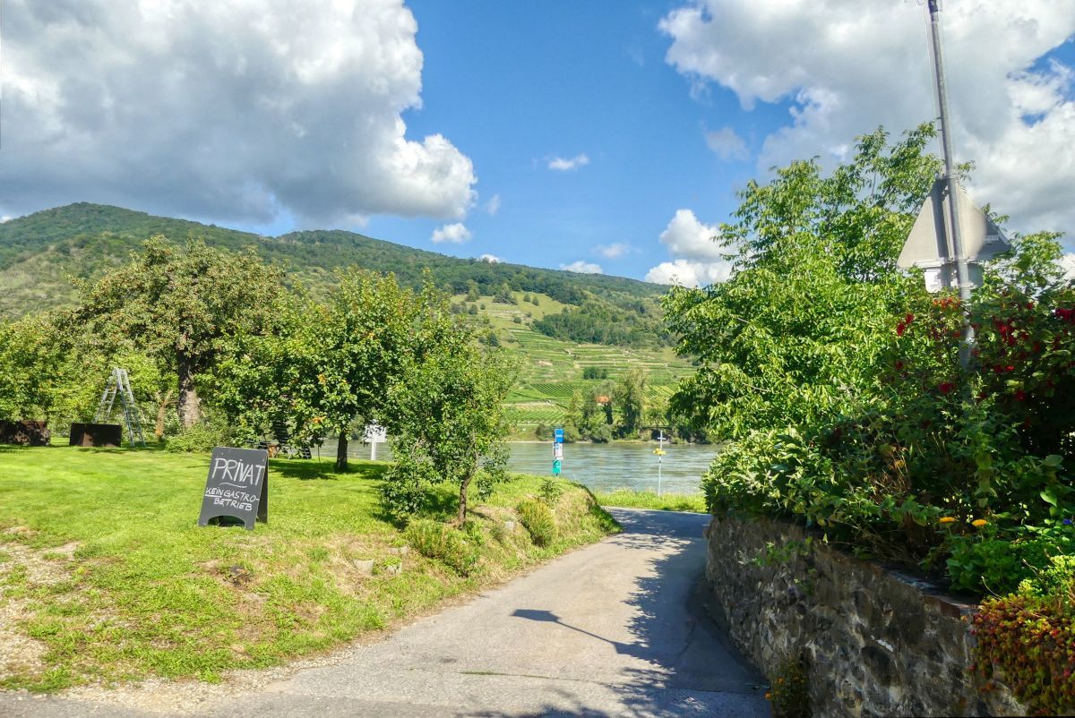
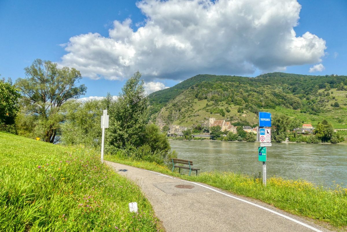
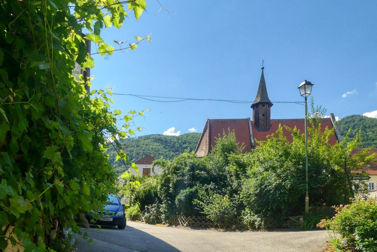
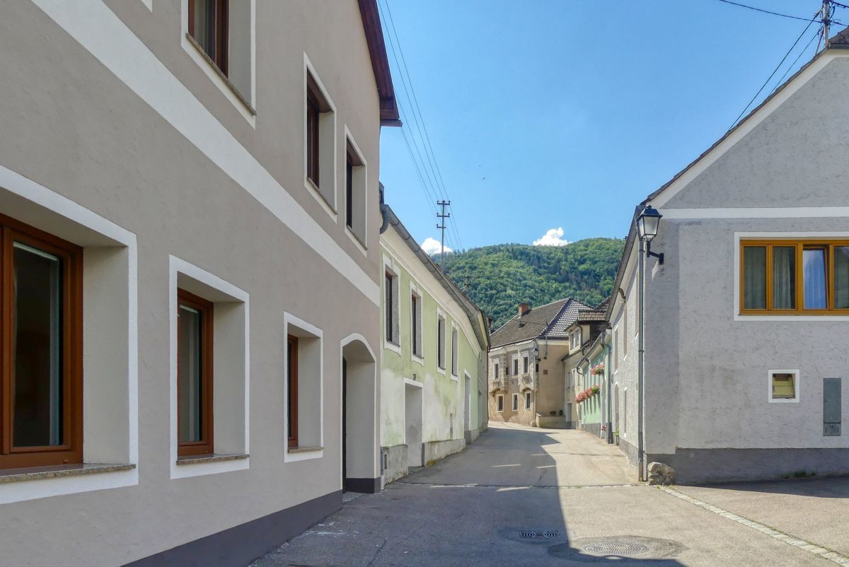
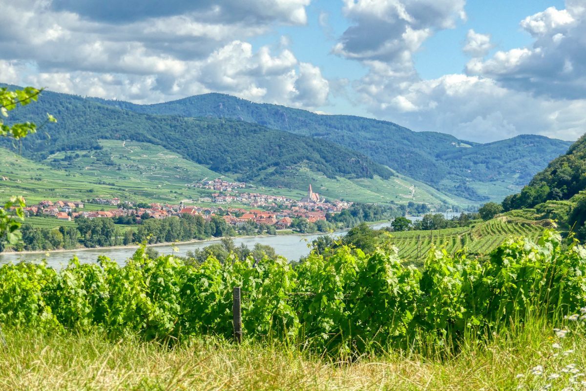
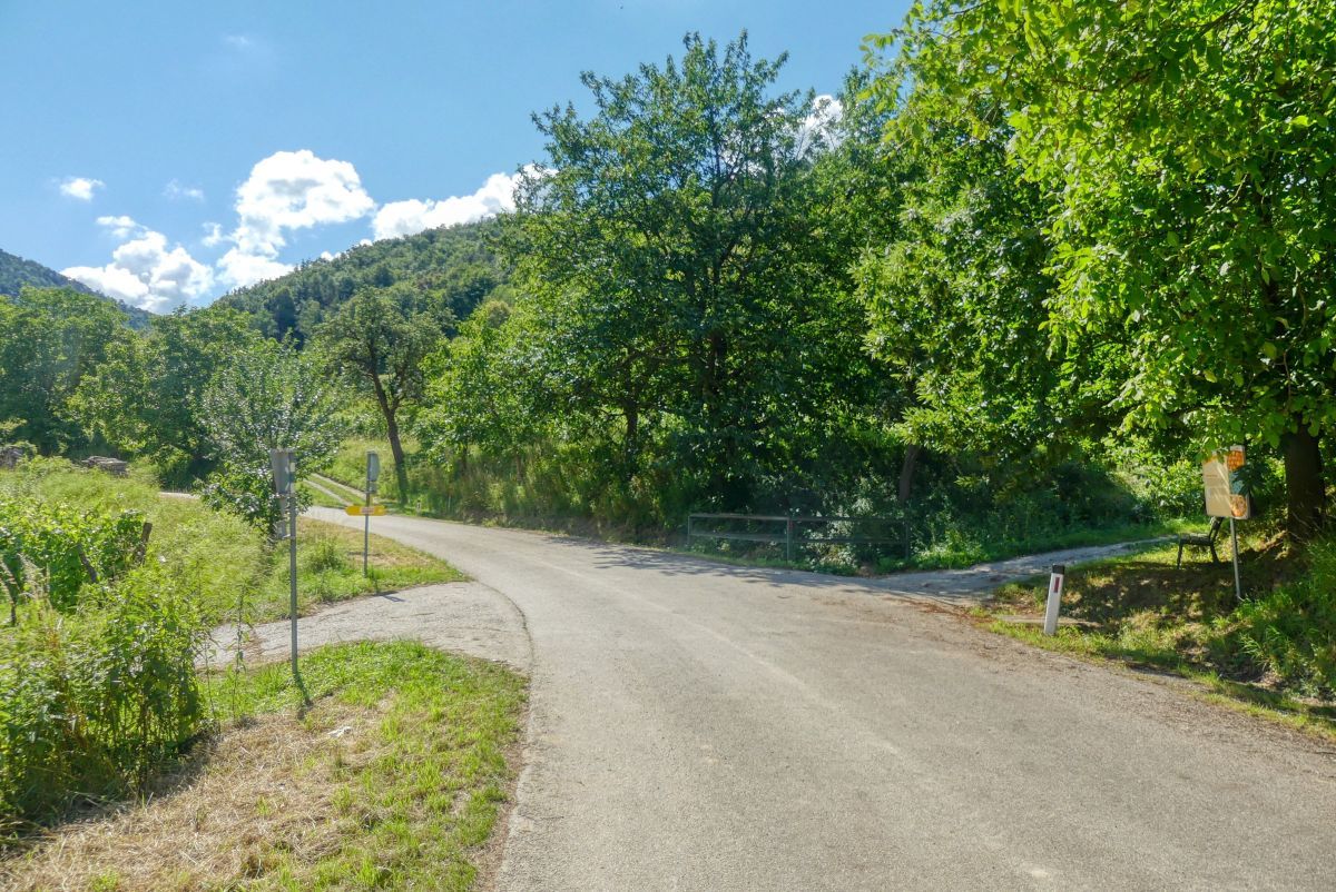
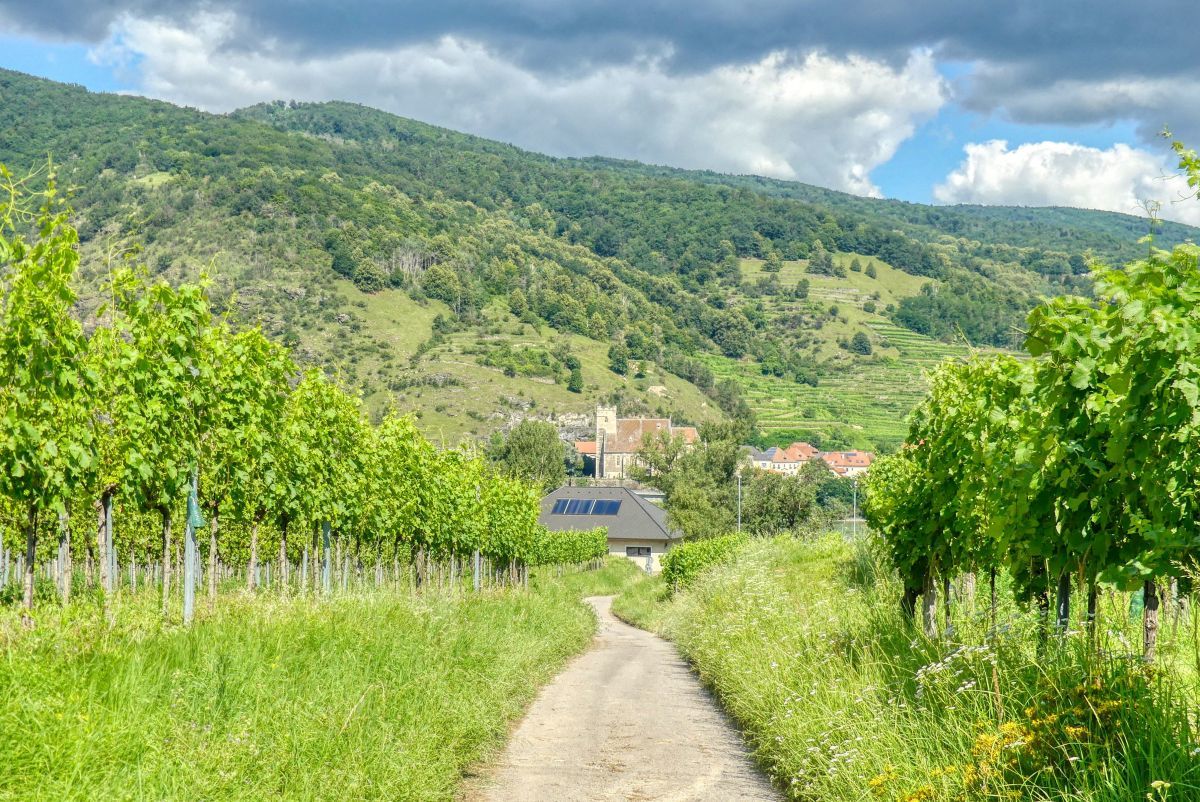
Diese rund zweistündige Rundwanderung führt von Bacharnsdorf zum Türkentor, dann über die Römerstraße im Kupfertal und den Donauradweg nach Mitterarnsdorf und von dort zurück.
- Difficulty
-
easy
- Rating
-
- Starting point
-
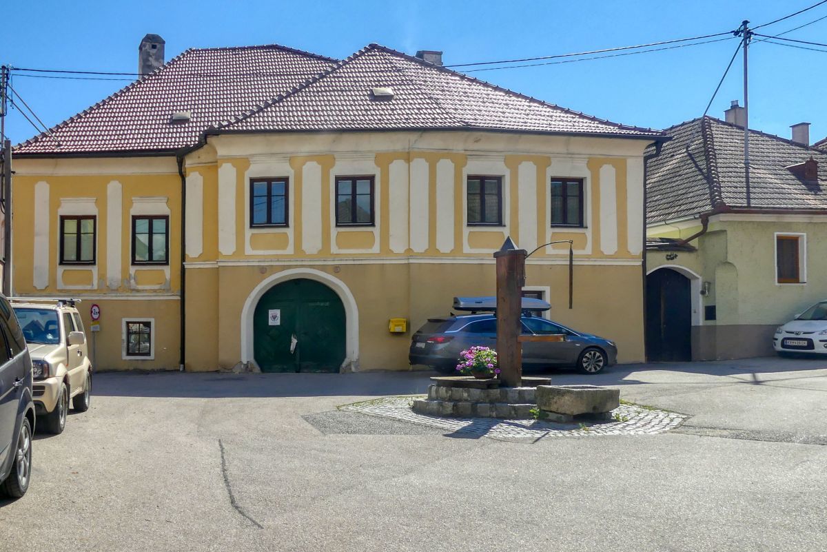
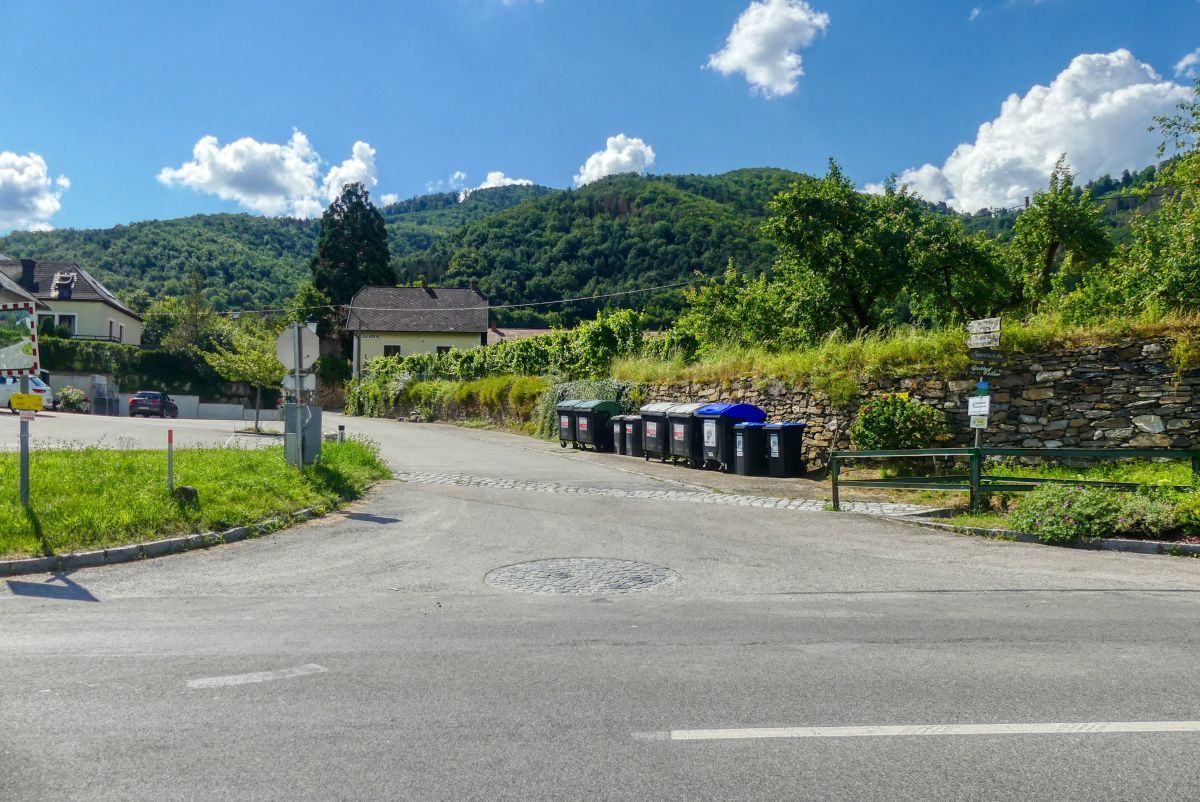
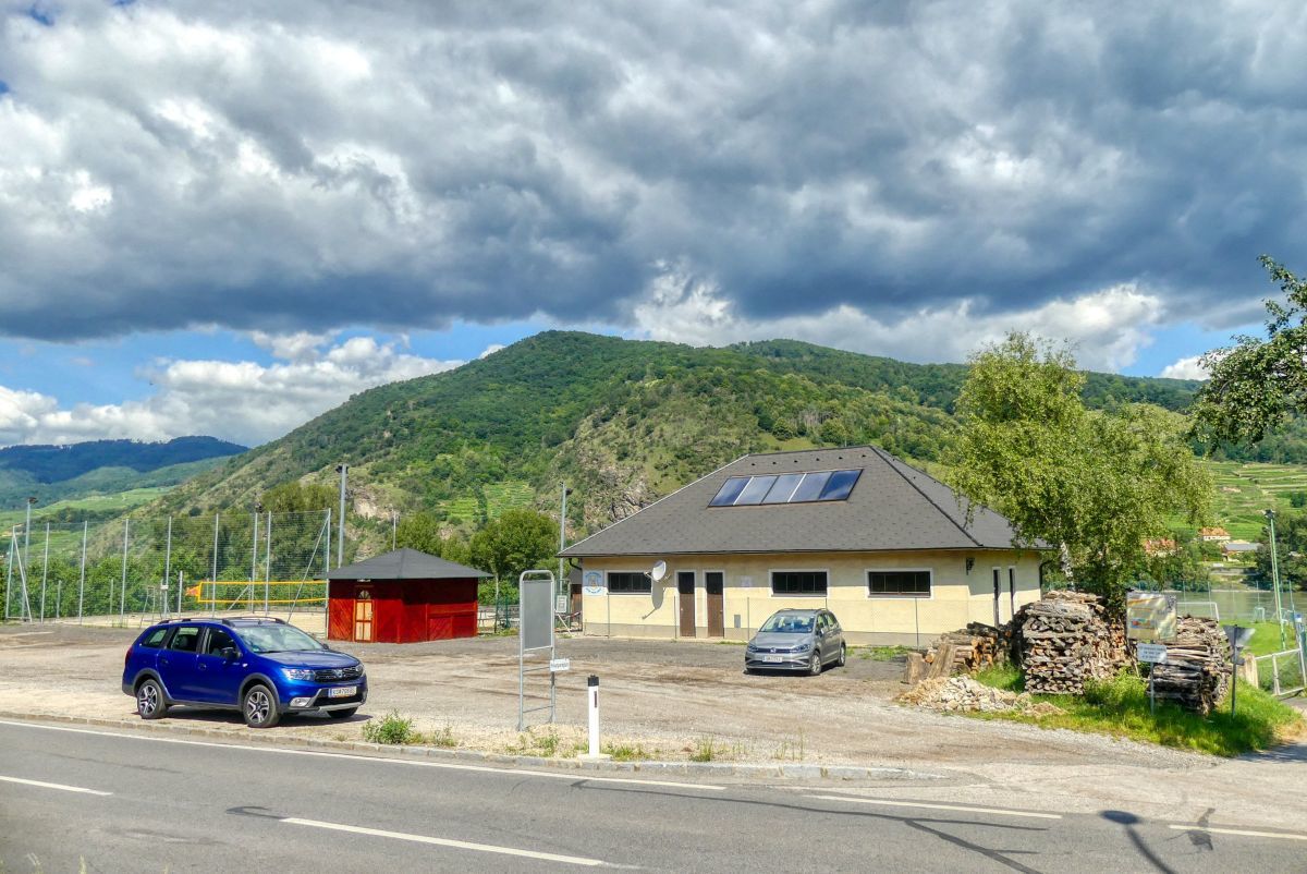
Sportplatz Bacharnsdorf
- Route
-
MitterarnsdorfBacharnsdorfBacharnsdorf4.2 kmHofarnsdorf5.0 kmRadlerkirche St.Katharina5.1 kmMitterarnsdorf5.5 km
- Best season
-
JanFebMarAprMayJunJulAugSepOctNovDec
- Highest point
- 389 m
- Endpoint
-
Sportplatz Bacharnsdorf

- Source
- Weinbergwandern.at
GPS Downloads


Trail conditions
Asphalt
Gravel
Meadow
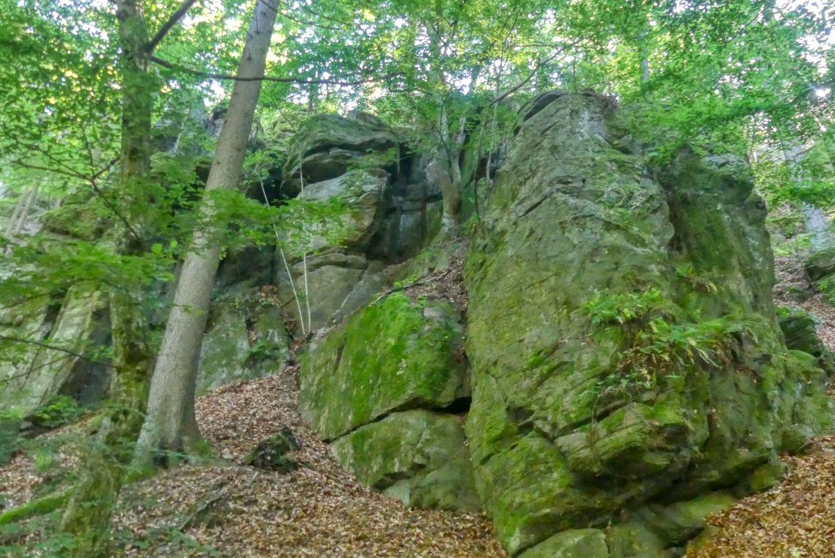
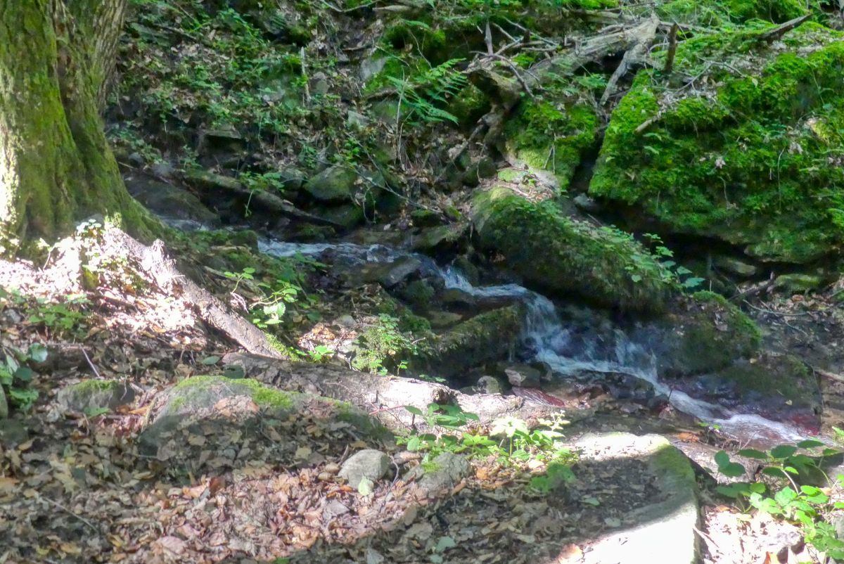
Forest
Rock
Exposed
Other tours in the regions
-
Donau Niederösterreich
2287
-
Dunkelsteinerwald
1373
-
Spitz an der Donau
605


