
© ZWalk.at
© ZWalk.at
© ZWalk.at
Tour data
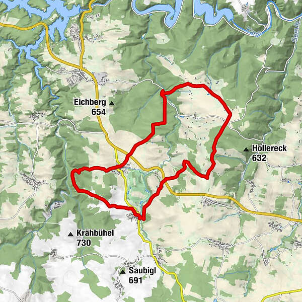
17.57km
523
- 686m
314hm
325hm
04:30h
- Brief description
-
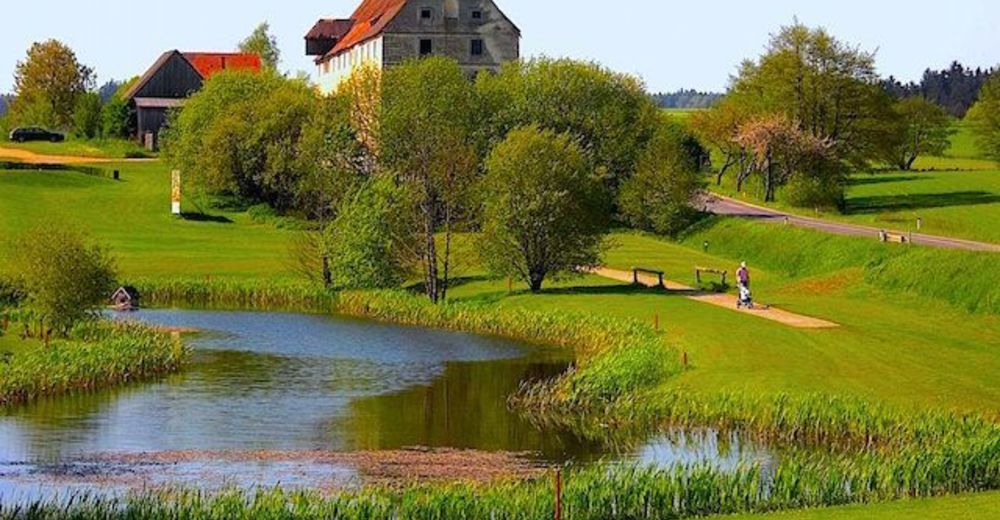
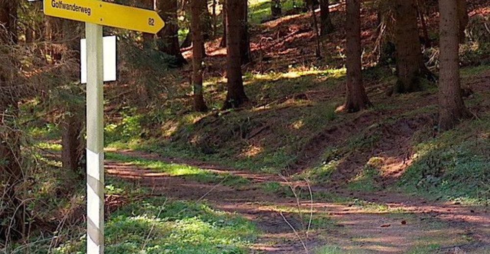
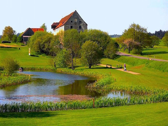
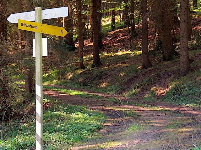
Die Tour führt durch eine typische, leicht hügelige Waldviertler Landschaft. Es geht durch Felder, Wiesen und Wälder, die sich ständig abwechseln.
- Difficulty
-
easy
- Rating
-
- Starting point
-
Niedergrünbach
- Route
-
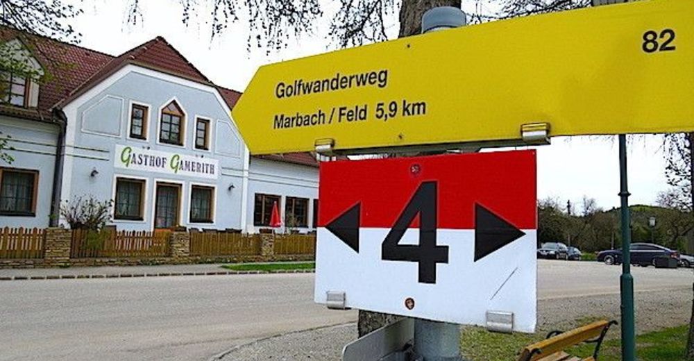
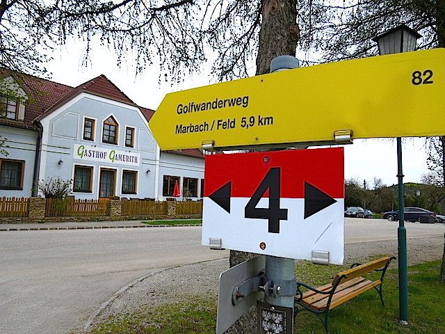
Gasthof FischlmayerPfarrkirche hll. Philippus und Jakobus0.0 kmNiedergrünbach0.0 kmSperkental1.3 kmGasthof Gamerith5.7 kmMarbach im Felde12.6 kmNiedergrünbach17.3 kmPfarrkirche hll. Philippus und Jakobus17.5 kmGasthof Fischlmayer17.5 km
- Highest point
- 686 m
- Source
- ZWalk
GPS Downloads


Other tours in the regions
-
Waldviertel
1779
-
Waldviertel Mitte
1247
-
Rastenfeld
162


