© Wiener Alpen in Niederösterreich - Schneeberg Hohe Wand - Schneebergland- Wiener Alpen

© Wiener Alpen in Niederösterreich - Schneeberg Hohe Wand - Schneebergland - Wiener Alpen
© ©Gemeinde Schrattenbach
Tour data
3.5km
487
- 636m
134hm
136hm
01:09h
- Brief description
-
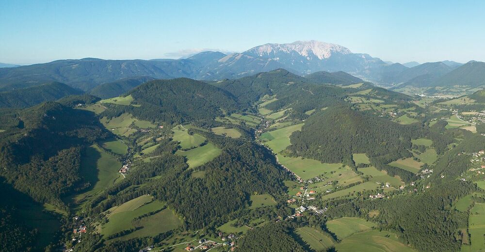
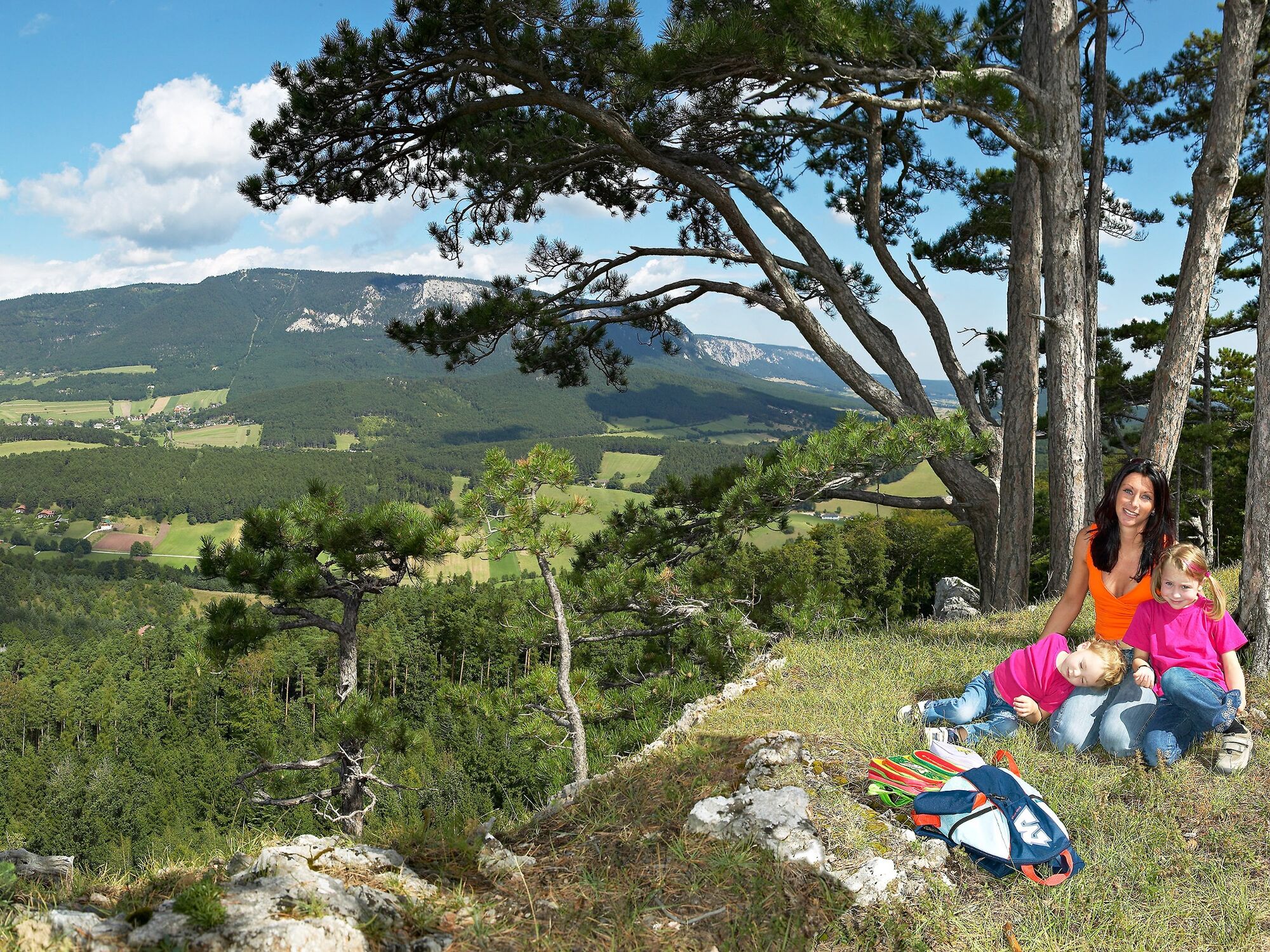
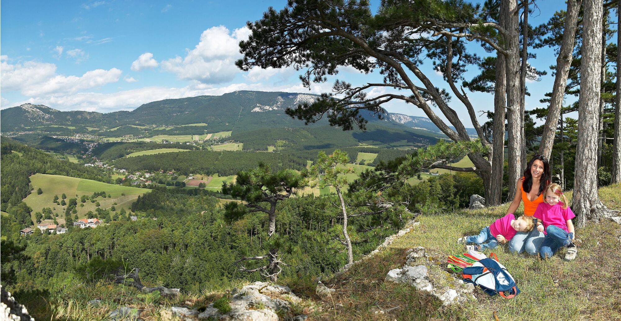
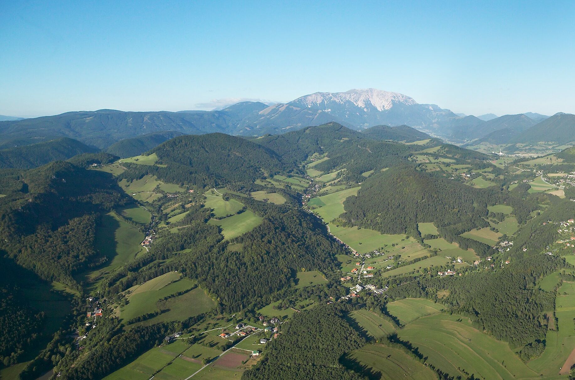
Eine Wanderung durch den Wald führt hinauf zur romantischen Ruine Schrattenstein, wo man einen wunderschönen Ausblick auf Schrattenbach, Gelände und Hohe Wand hat.
- Difficulty
-
medium
- Rating
-
- Route
-
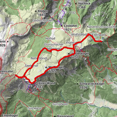
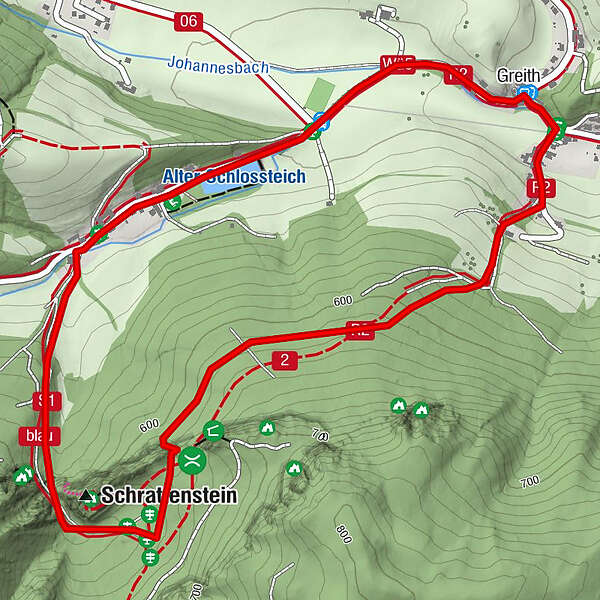
Gasthaus zum alten Schlossteich0.0 kmSchrattenbach0.1 kmGreith2.6 km
- Best season
-
JanFebMarAprMayJunJulAugSepOctNovDec
- Highest point
- 636 m
- Endpoint
-
Gasthaus zum alten Schlossteich
- Height profile
-

- Author
-
The tour Ruinenweg - Schrattenbach is used by outdooractive.com provided.
GPS Downloads


General info
Refreshment stop
Insider tip
A lot of view
Other tours in the regions
-
Wiener Alpen
3048
-
Schneebergland - Wiener Alpen
2457
-
Grünbach am Schneeberg
844