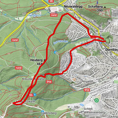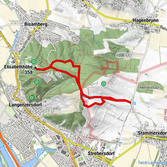
Tour data
10.47km
162
- 441m
251hm
258hm
02:44h
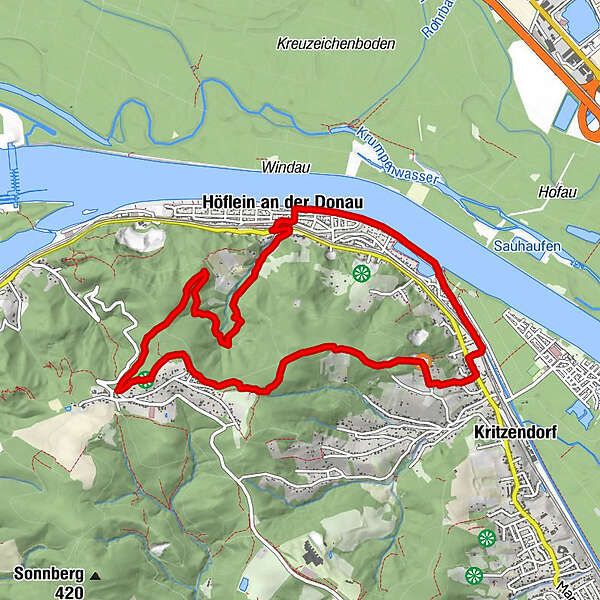
- Brief description
-
Höflein/Donau Bahnhof to Hadersfeld
- Difficulty
-
easy
- Rating
-
- Best season
-
JanFebMarAprMayJunJulAugSepOctNovDec
- Description
-
Park at Höflein/Donau Bahnhof
- Highest point
- 441 m


GPS Downloads


Other tours in the regions
-
Wienerwald
4209
-
Wien und Umgebung
2475
-
Spillern
526