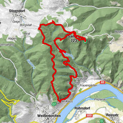
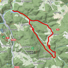
Tour data
13.66km
456
- 589m
127hm
03:24h
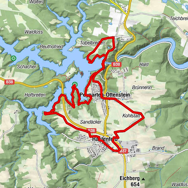
- Brief description
-
Schotter- Waldwege (46%), Asphalt (54%)
- Rating
-
- Route
-
Pfarrkirche Mariä HimmelfahrtRastenfeld0.0 kmOsang3.6 kmPeygarten-Ottenstein5.1 kmOttenstein8.2 kmSchloss Restaurant8.5 kmRistorante Vita10.3 kmOrtskapelle hl. Anna10.3 kmPeygarten-Ottenstein10.4 kmHopfengarten11.8 kmPfarrkirche Mariä Himmelfahrt13.5 kmRastenfeld13.5 km
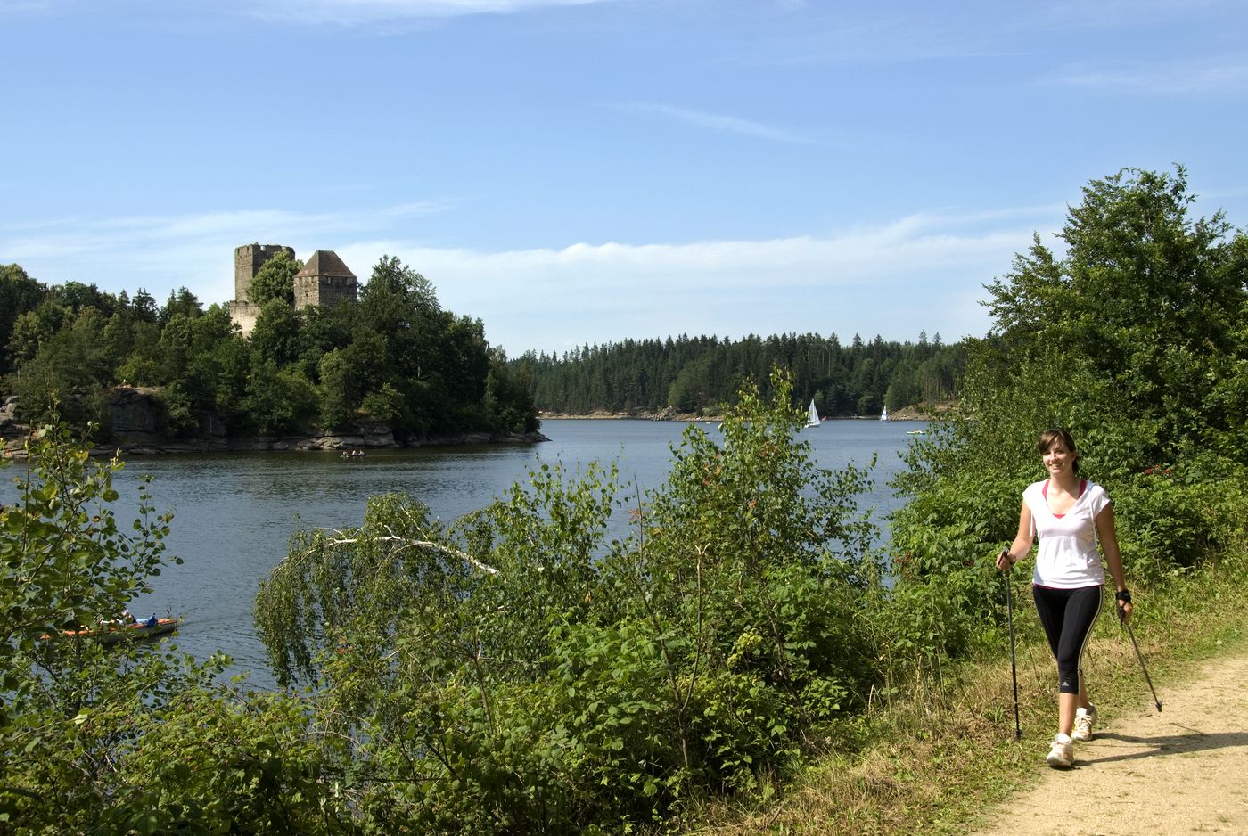
- Highest point
- 589 m
GPS Downloads


Other tours in the regions
-
Waldviertel
1776
-
Waldviertel Mitte
1247
-
Rastenfeld
161