


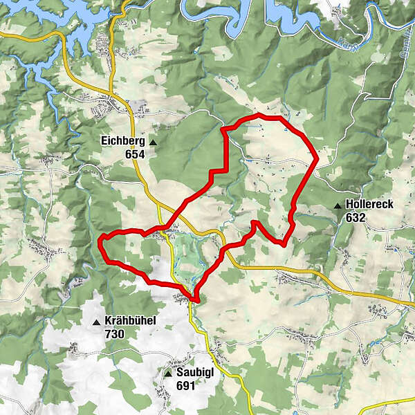
Tour data
16.89km
528
- 686m
263hm
05:00h
- Brief description
-
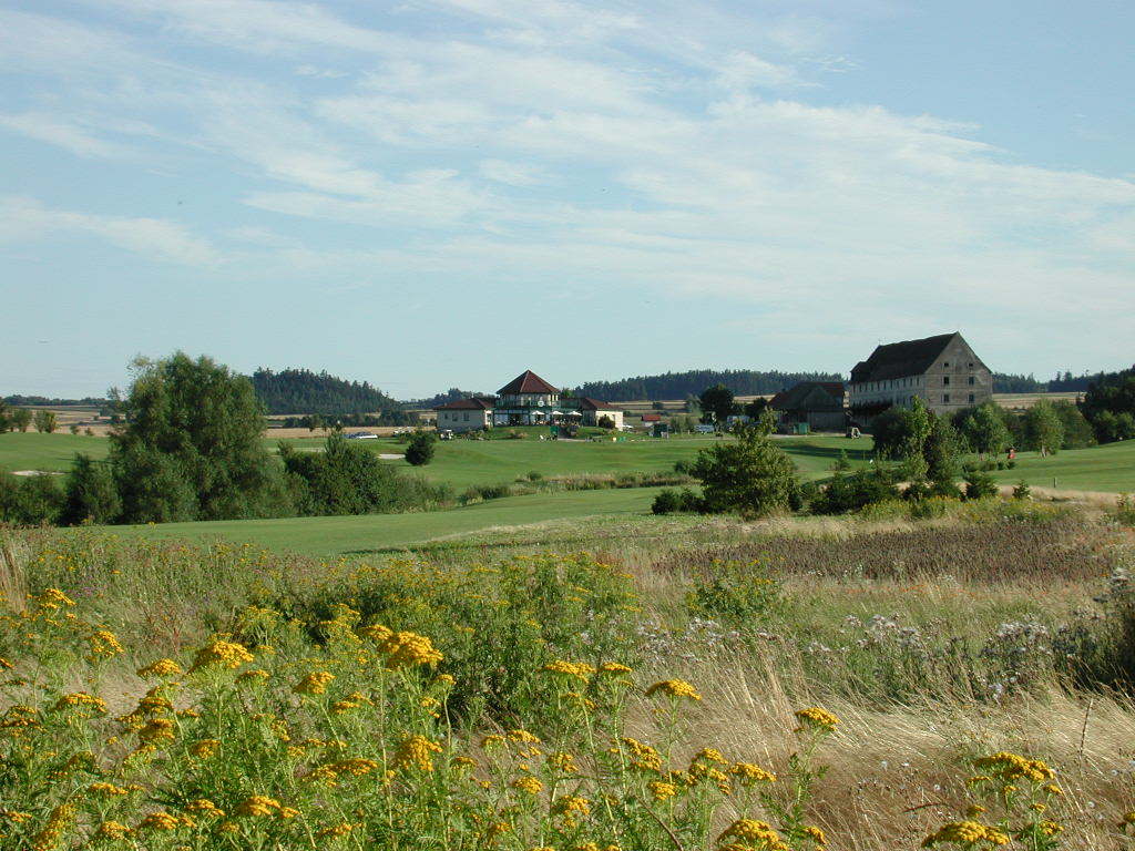
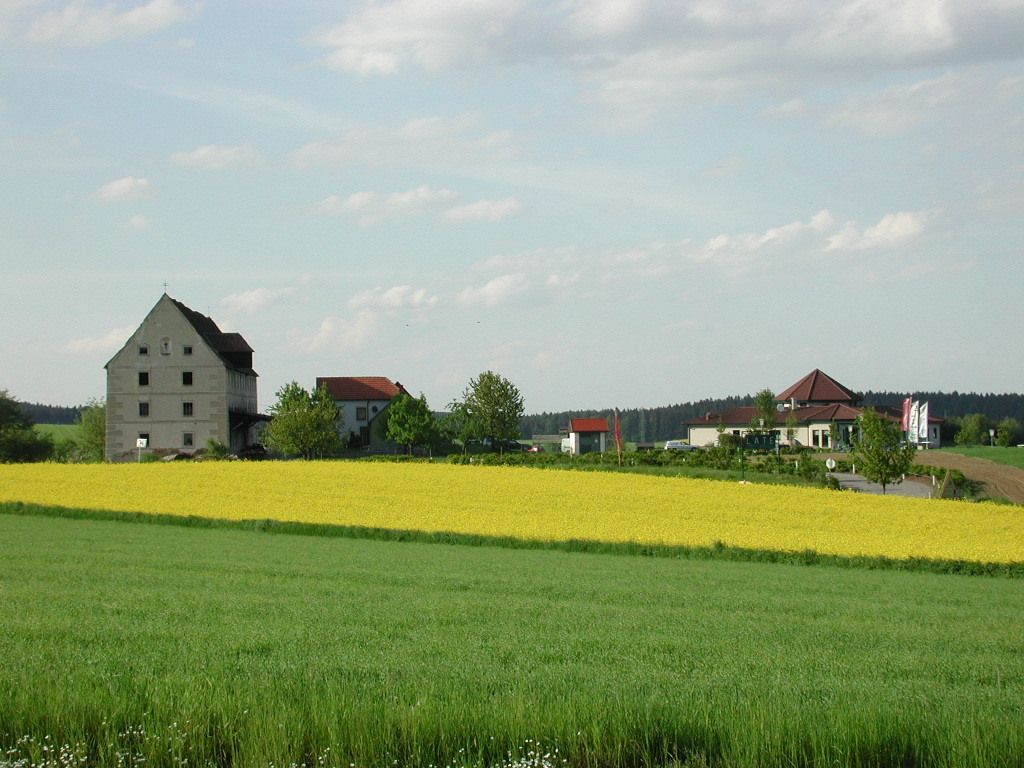
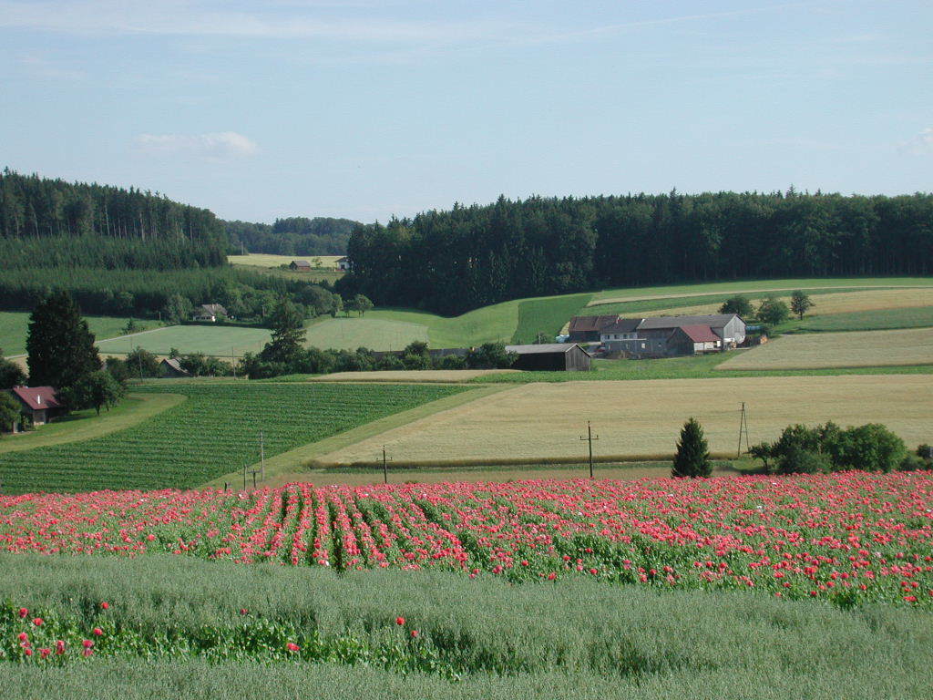
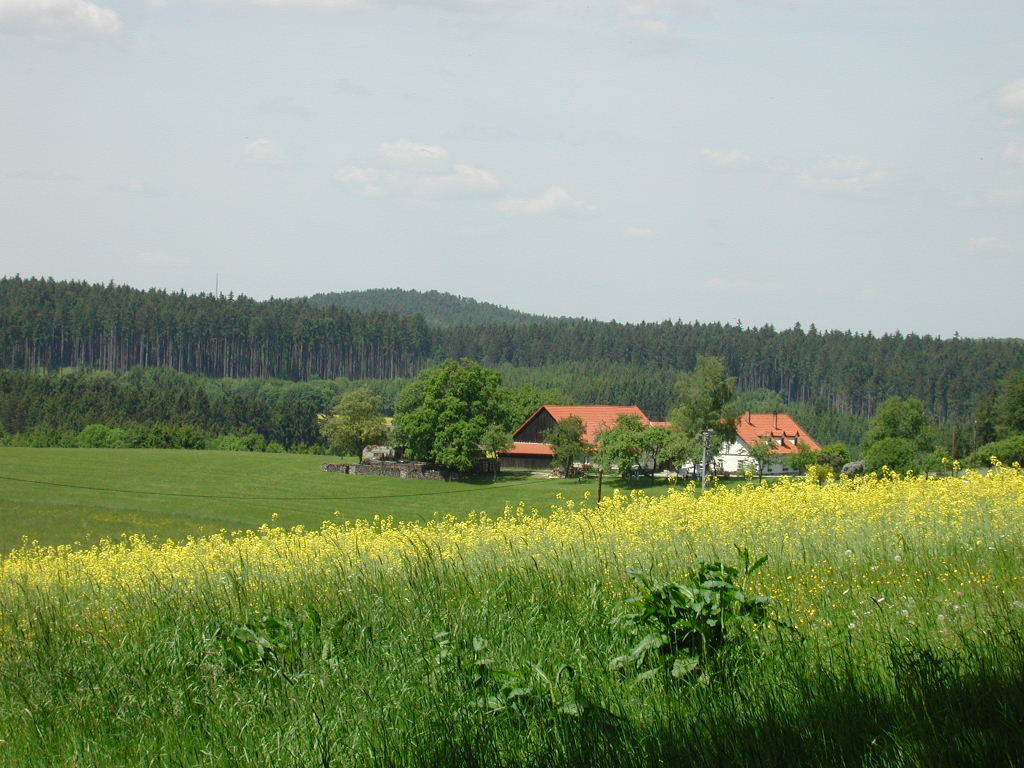
50% Asphalt, 50% Schotterwege
- Rating
-
- Route
-
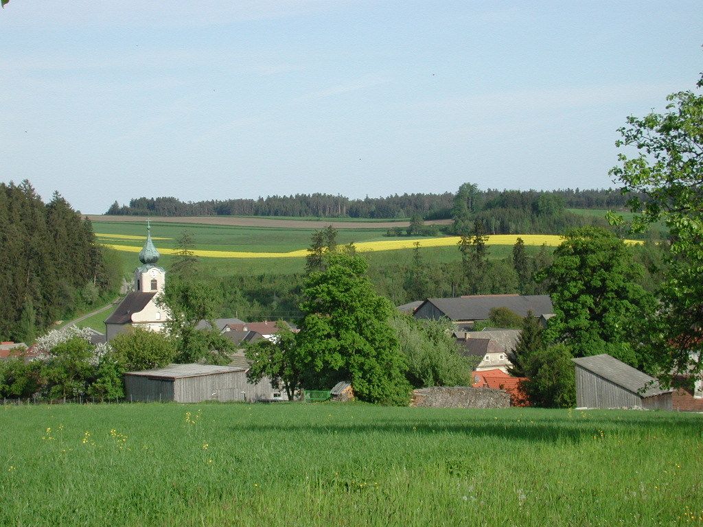
Pfarrkirche hll. Philippus und JakobusNiedergrünbach0.0 kmSperkental1.3 kmGasthof Gamerith5.7 kmMarbach im Felde12.1 kmNiedergrünbach16.7 km
- Highest point
- 686 m
GPS Downloads


Trail conditions
Asphalt
Gravel
Meadow
Forest
Rock
Exposed
Other tours in the regions
-
Waldviertel
1775
-
Waldviertel Mitte
1245
-
Rastenfeld
161


