Tour data
13.15km
296
- 455m
352hm
309hm
04:00h
- Brief description
-
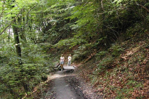
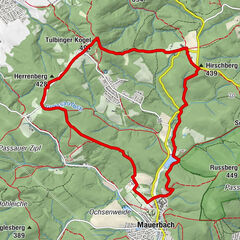
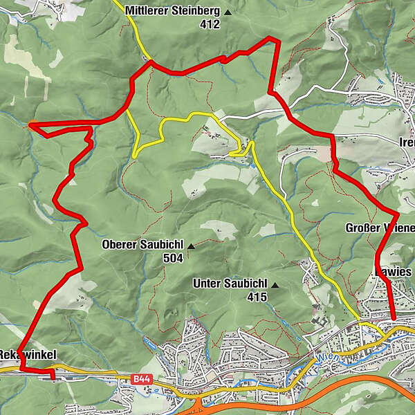
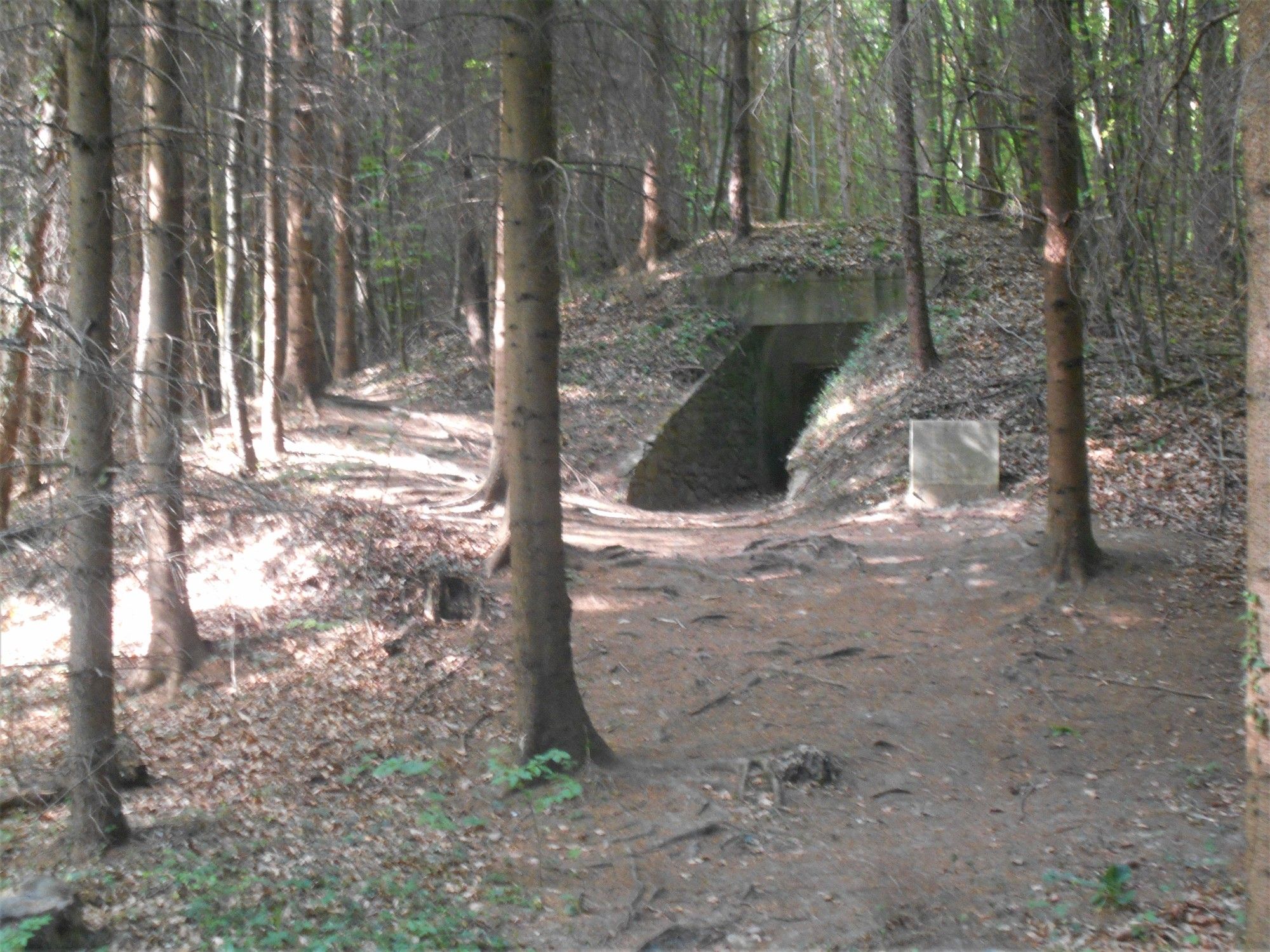
Durchs Irenental zum Römergrab
- Difficulty
-
easy
- Rating
-
- Starting point
-
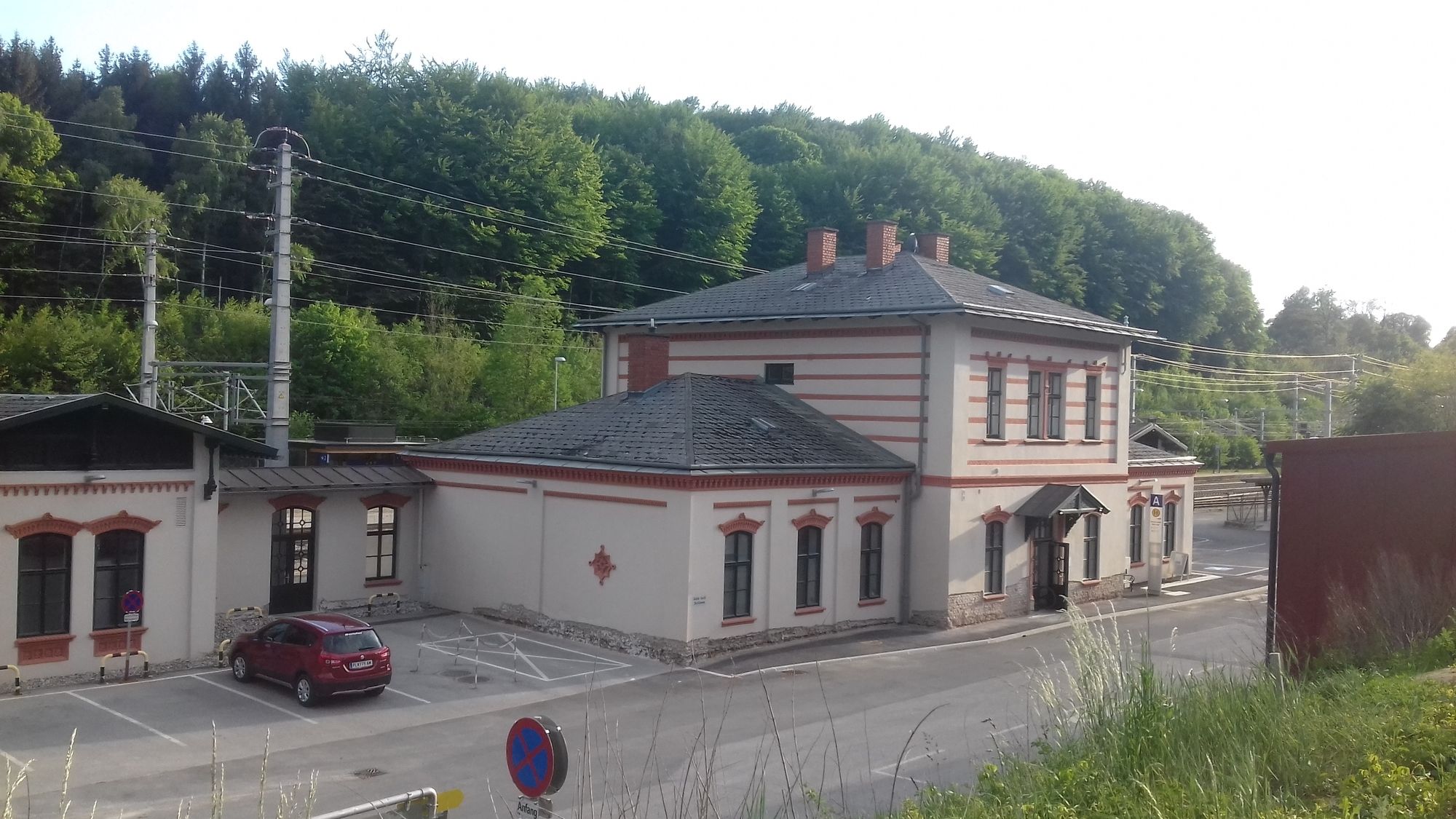
Bahnhof Tullnerbach-Pressbaum
- Route
-
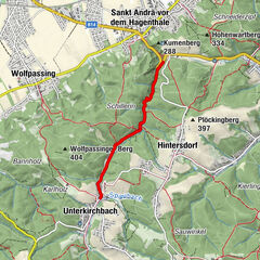
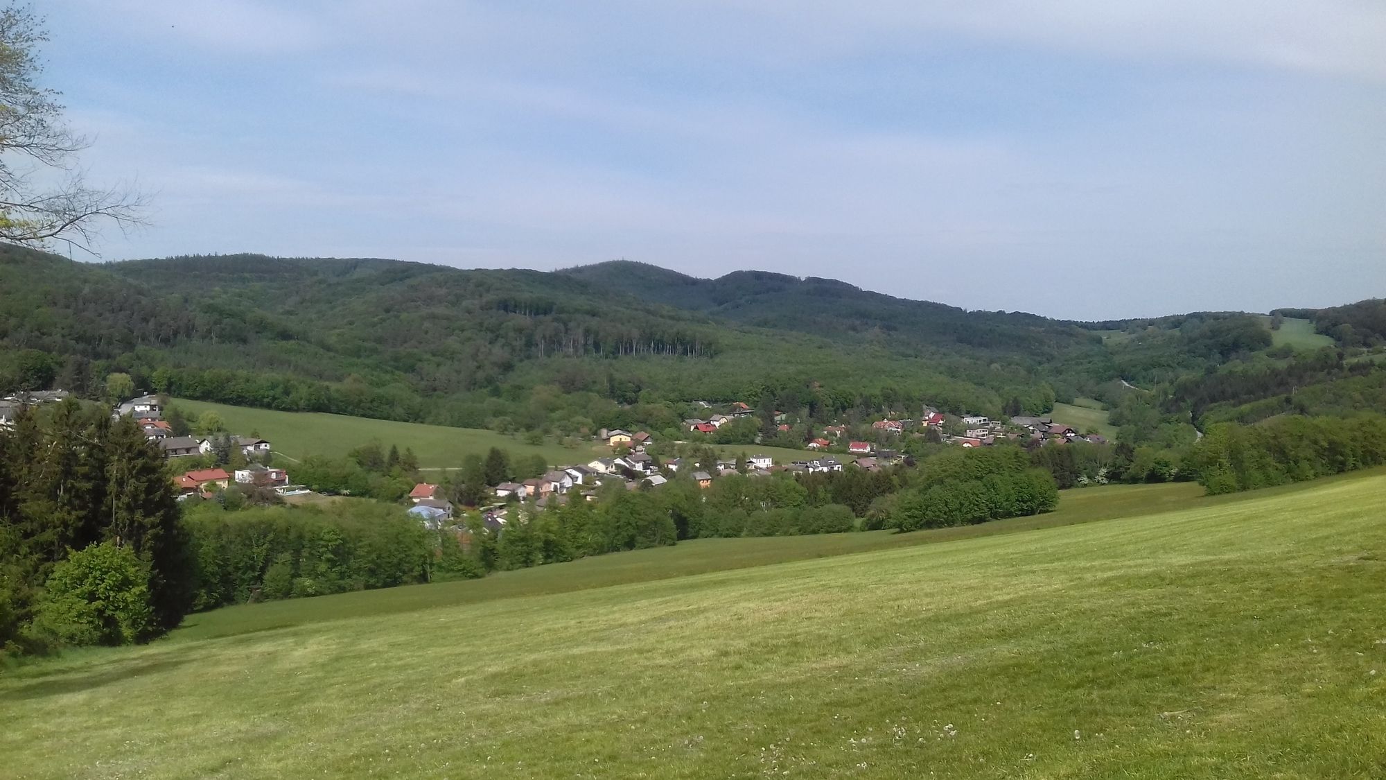
Tullnerbach-Pressbaum0.0 kmTullnerbach-Lawies0.2 kmWilhelmshöhe2.2 kmIn der Au6.1 km
- Best season
-
JanFebMarAprMayJunJulAugSepOctNovDec
- Highest point
- 455 m
- Endpoint
-
Bahnhof Rekawinkel
- Rest/Retreat
-
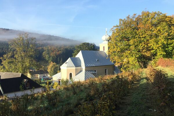
Gasthof Mirli, Gasthof Fink in der Au
- Ticket material
-
Kompass Wien

GPS Downloads


Trail conditions
Asphalt
Gravel
Meadow
Forest
Rock
Exposed
Other tours in the regions
-
Wienerwald
4219
-
Kamptal - Wagram - Tullner Donauraum
1495
-
Pressbaum
788