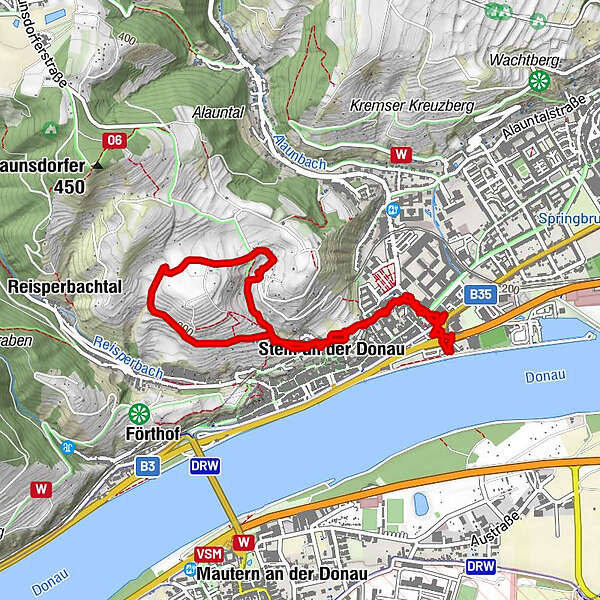
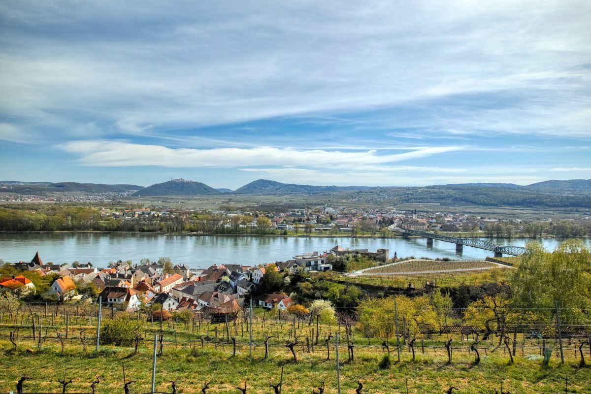
Kremser Rieden- und Wanderkarte – Wanderung 2: Rundwanderweg Steiner Hund

Hiking


Tour data
3.99km
203
- 328m
126hm
108hm
00:57h
- Brief description
-
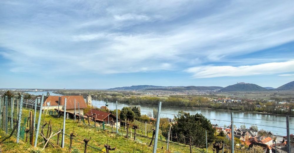
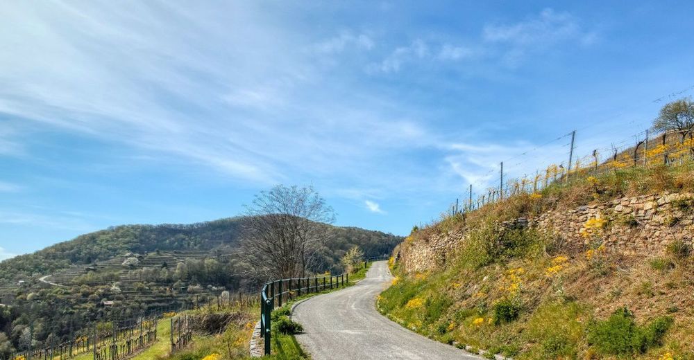
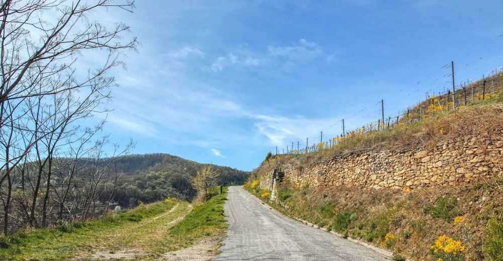
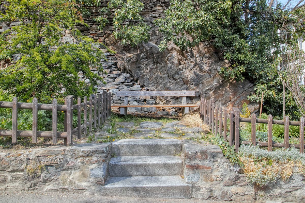
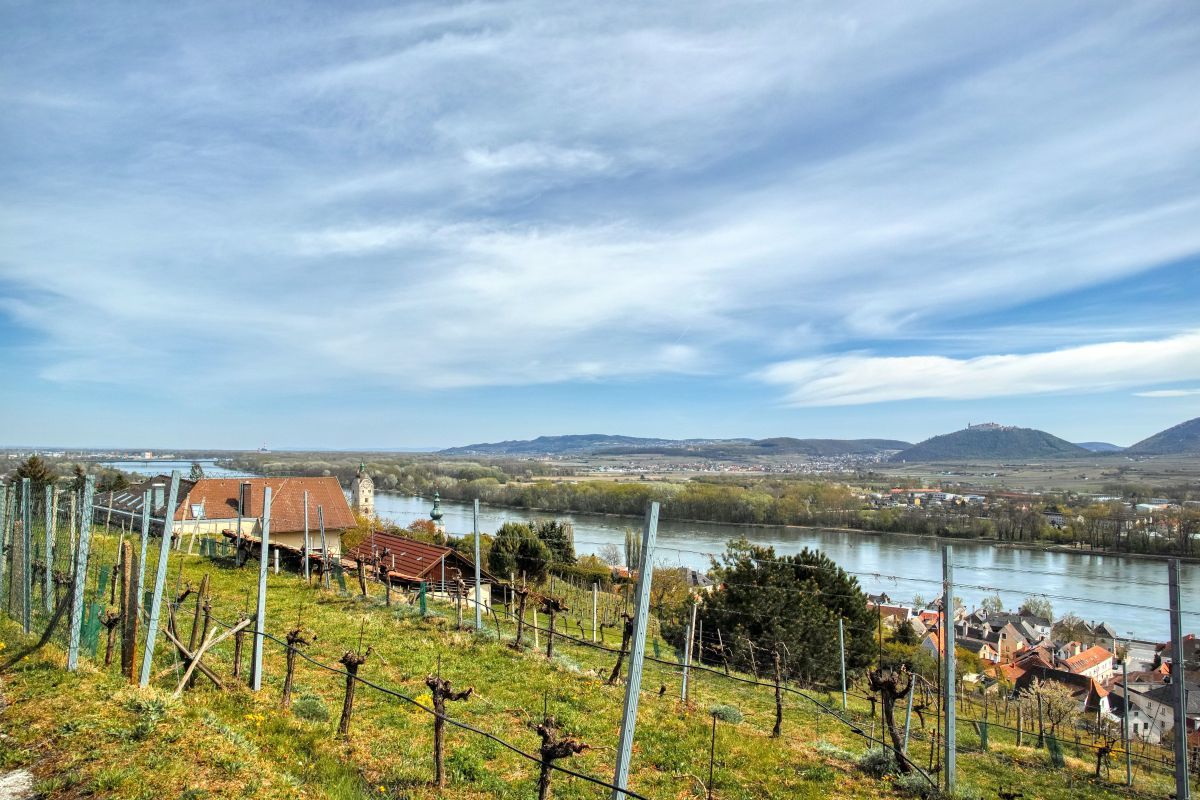
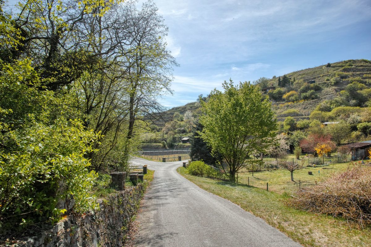
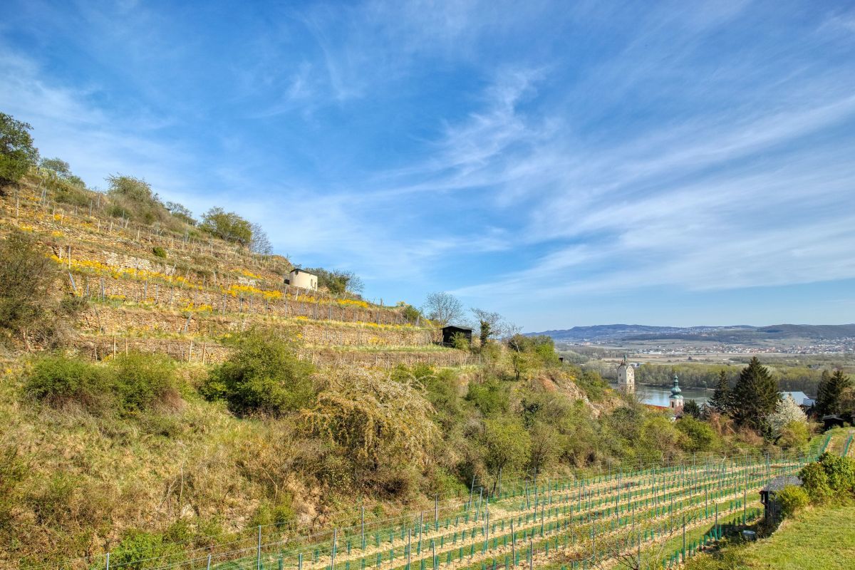
Eine etwa einstündige Wanderung in eine der sonnigsten Weinrieden von Krems, dem "Steiner Hund".
- Difficulty
-
medium
- Rating
-
- Starting point
-
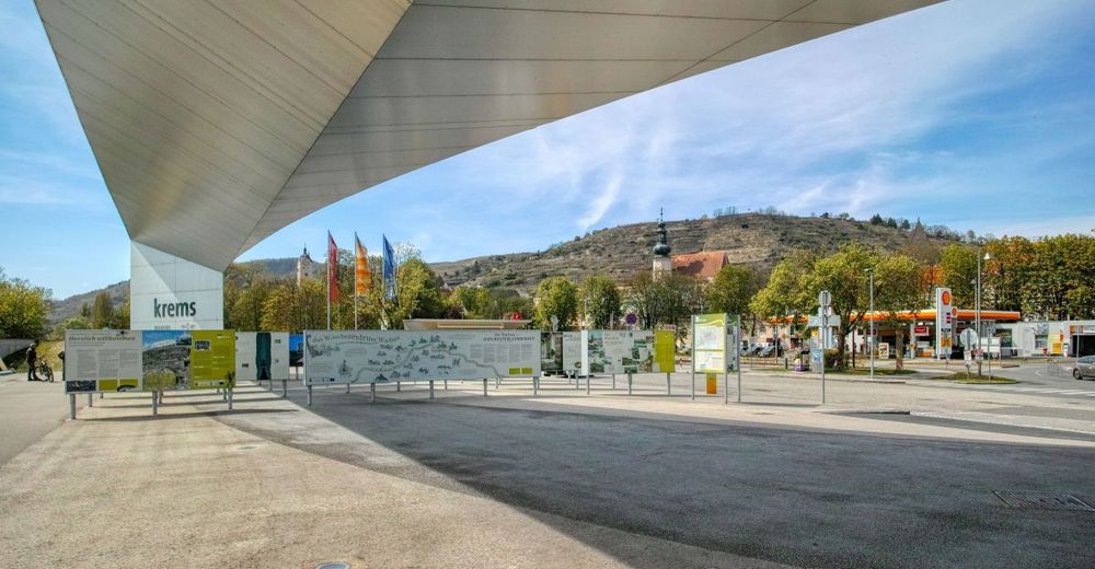
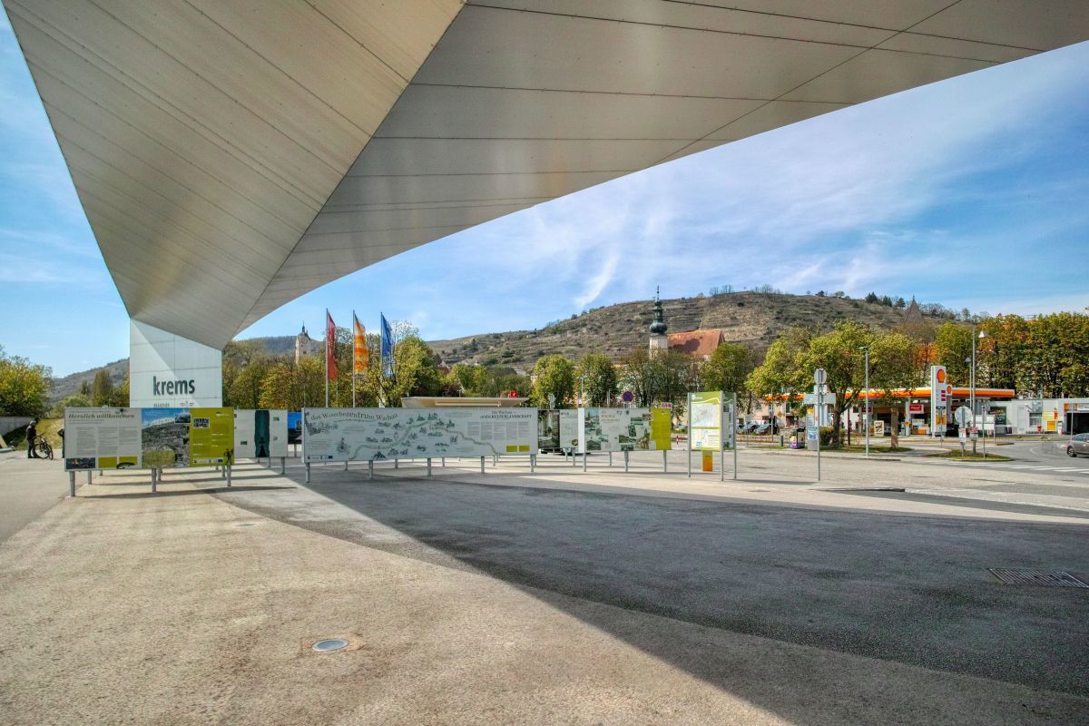
Kostenpflichtige Parkplätze (Freiplätze & Parkdeck) beim Schifffahrts- und Welterbezentrum
- Route
-
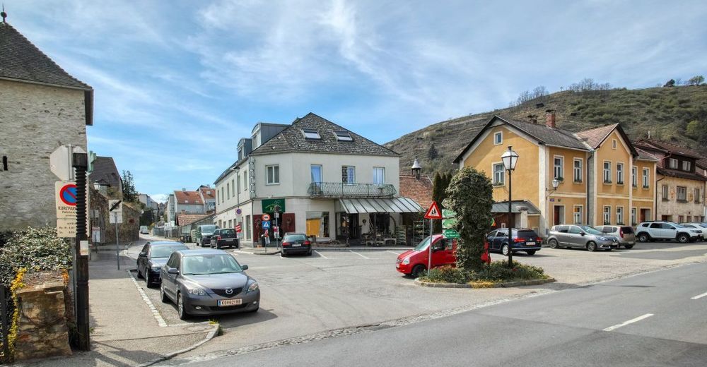
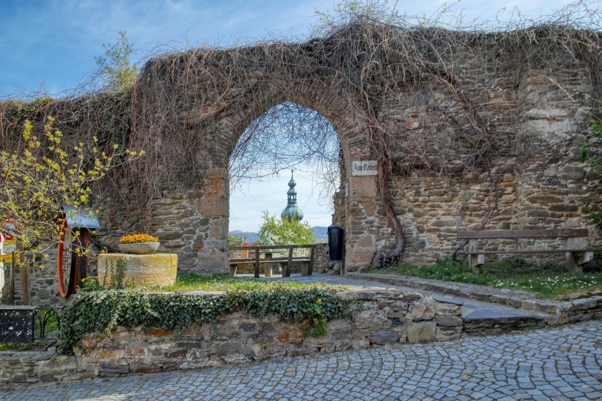
Stein an der Donau3.0 kmRebentor3.1 kmKrems an der Donau3.7 km
- Best season
-
JanFebMarAprMayJunJulAugSepOctNovDec
- Highest point
- 328 m
- Endpoint
-
Kostenpflichtige Parkplätze (Freiplätze & Parkdeck) beim Schifffahrts- und Welterbezentrum


- Source
- Weinbergwandern.at
GPS Downloads


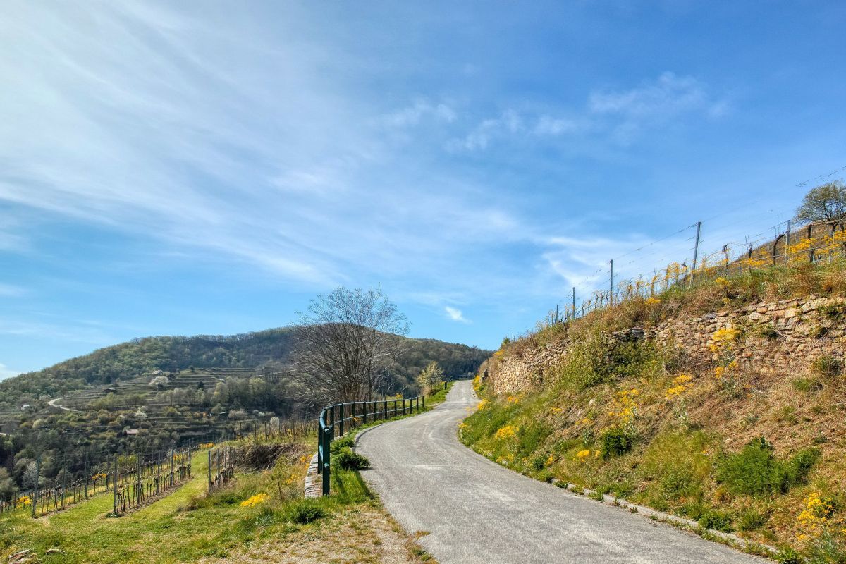
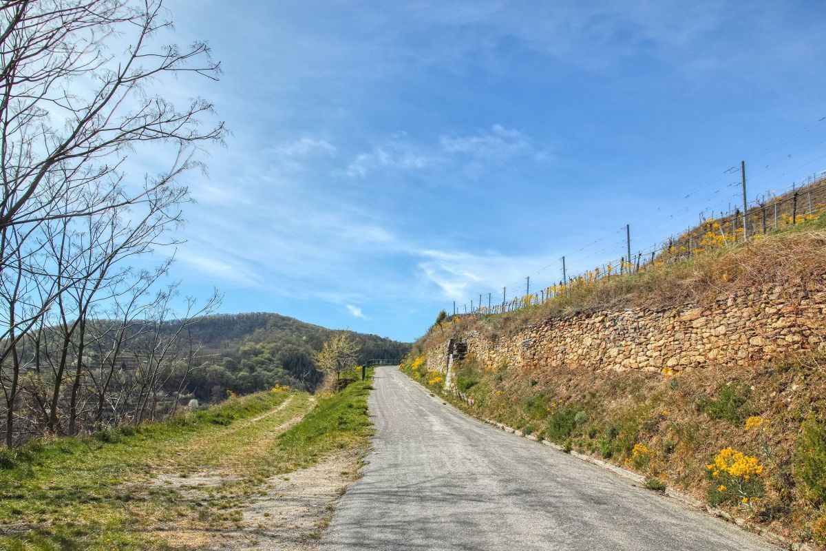
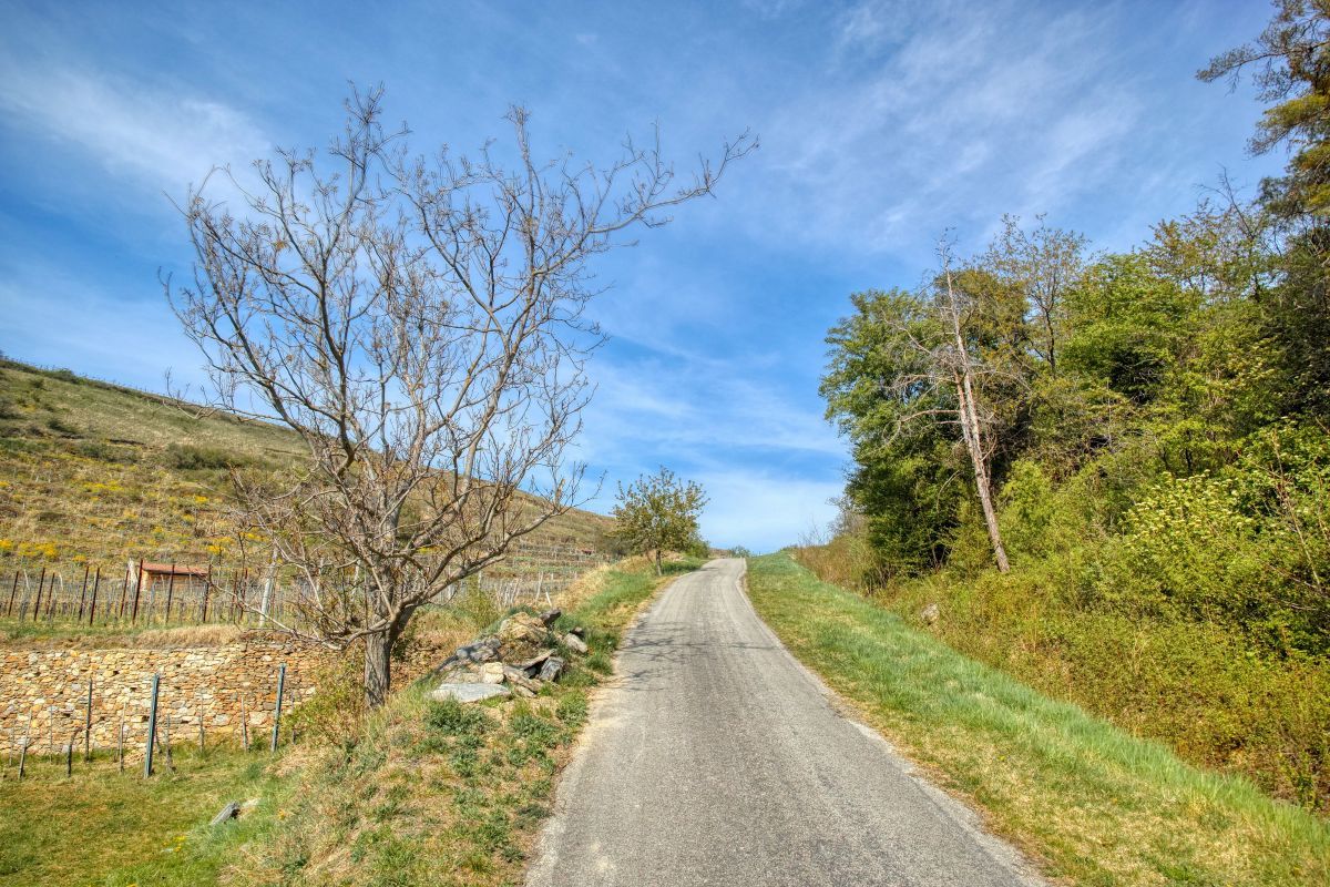
Trail conditions
Asphalt
Gravel
Meadow
Forest
Rock
Exposed
Other tours in the regions
-
Donau Niederösterreich
2289
-
Kamptal - Manhartsberg
1158
-
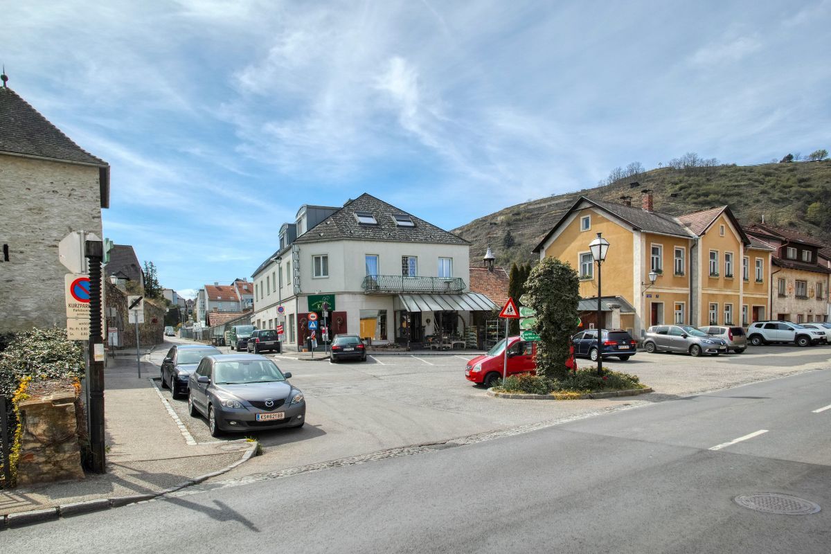
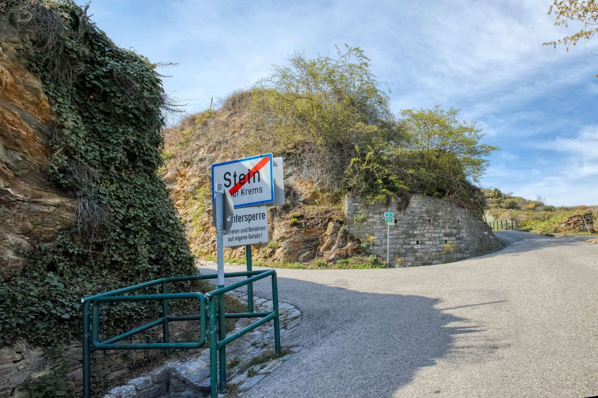
Stein an der Donau
696


