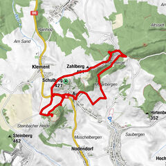
© E. Lackner

© Unbekannt

© Unbekannt
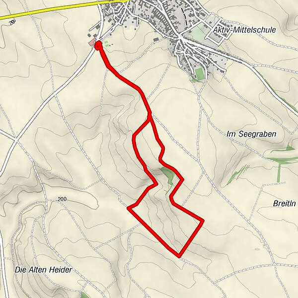

- Brief description
-
Start / Ziel: Hohenruppersdorf
- Highest point
- 260 m
- Height profile
-


- Author
-
The tour Naturpfad Hohenruppersdorf is used by outdooractive.com provided.
GPS Downloads


Other tours in the regions
-
Weinviertel
943
-
March - Thaya - Auen
118
-
Hohenruppersdorf
59