
Tour data
10.72km
847
- 1,459m
599hm
597hm
04:00h
- Brief description
-
Schöner Rundwanderweg mit Gipfel (Kampstein, 1.467 m).
- Difficulty
-
medium
- Rating
-
- Starting point
-
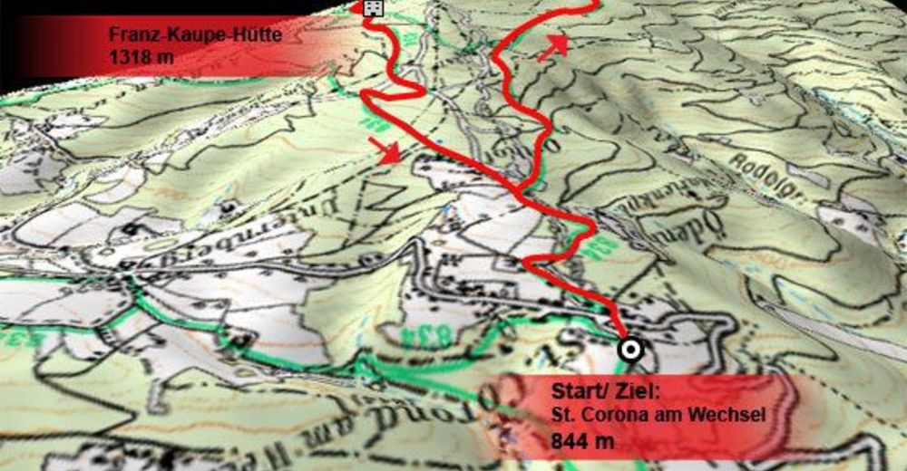
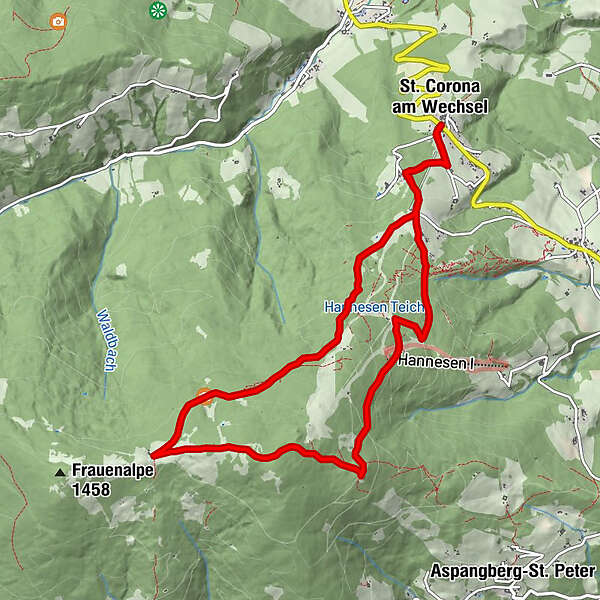
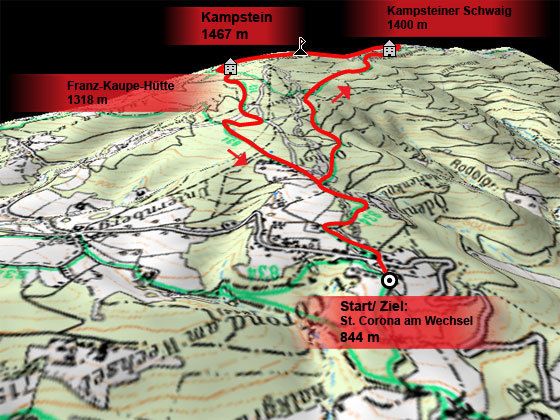
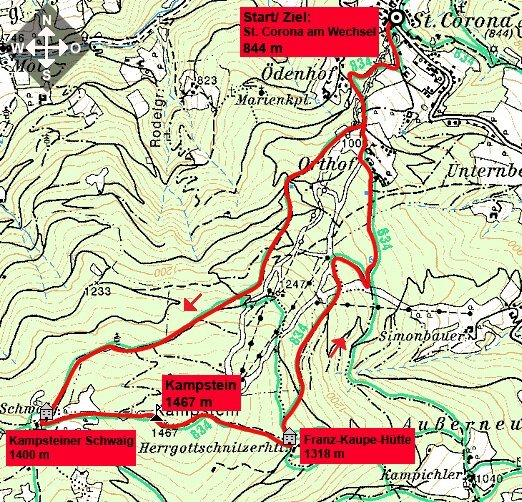
St. Corona am Wechsel (844 m).
- Route
-
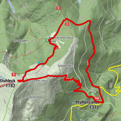
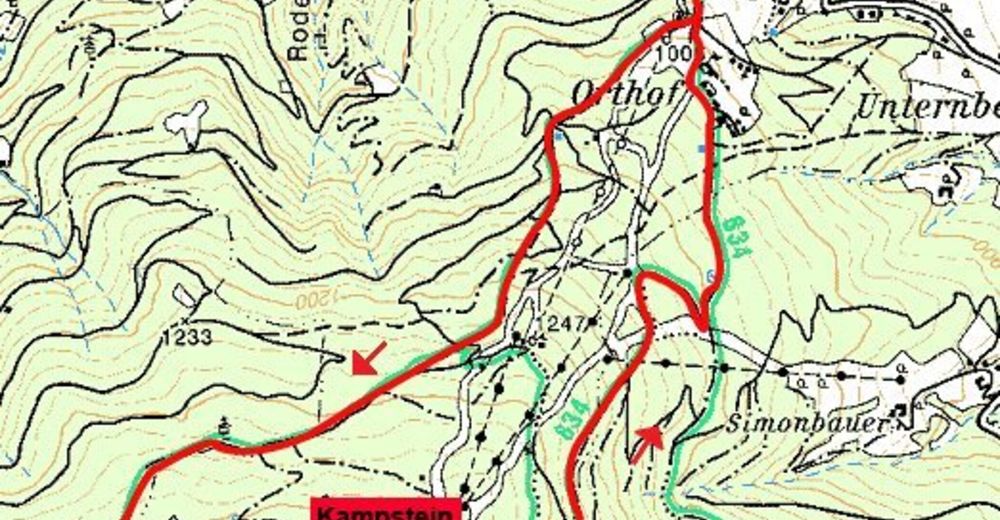
St. Corona am WechselPfarrkirche St. CoronaKampstein (1,467 m)5.4 kmHerrgottschnitzerhütte6.5 kmPfarrkirche St. Corona10.7 kmSt. Corona am Wechsel10.7 km
- Best season
-
JanFebMarAprMayJunJulAugSepOctNovDec
- Highest point
- 1,459 m
- Rest/Retreat
-
Almrauschhütte, Kampsteiner Schwaig, Franz Kaupe Hütte (auch Herrgottschnitzerhütte), Orthof.
- Ticket material

GPS Downloads


Trail conditions
Asphalt
Gravel
Meadow
Forest
Rock
Exposed
Other tours in the regions
-
Wiener Alpen
3046
-
Wechselland - Wiener Alpen
1703
-
St. Corona am Wechsel
449