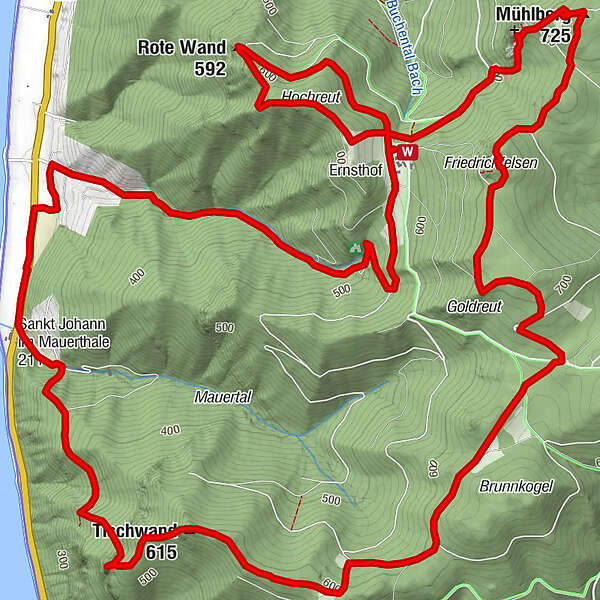
ST.JOHANN im Mauerthale Tischwand Hoher Stein Rote Wand 20200310
Hiking
Which problem do you want to report on this tour?
Tour data
13.2km
203
- 725m
610hm
610hm
05:15h
GPS Downloads


Trail conditions
Asphalt
(15%)
Gravel
(70%)
Meadow
(15%)
Forest
(55%)
Rock
Exposed
(1x)
Other tours in the regions
-
Donau Niederösterreich
2290
-
Dunkelsteinerwald
1374
-
Spitz an der Donau
606


