Tour data
94.9km
164
- 478m
1,622hm
1,574hm
23:43h

- Brief description
-
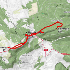
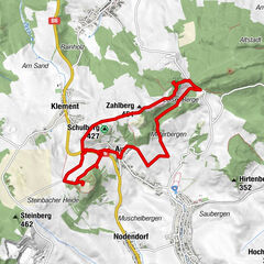
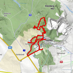
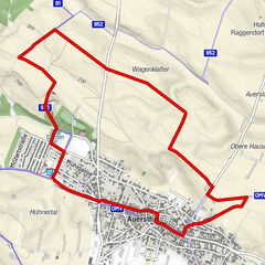
Streckenwanderweg - Weinviertelweg 632
- Difficulty
-
easy
- Rating
-
- Best season
-
JanFebMarAprMayJunJulAugSepOctNovDec
- Highest point
- 478 m
GPS Downloads


Other tours in the regions
-
Weinviertel
942
-
Leiser Berge
377
-
Ladendorf
114