

© ZWalk.at

© ZWalk.at

© ZWalk.at
Tour data
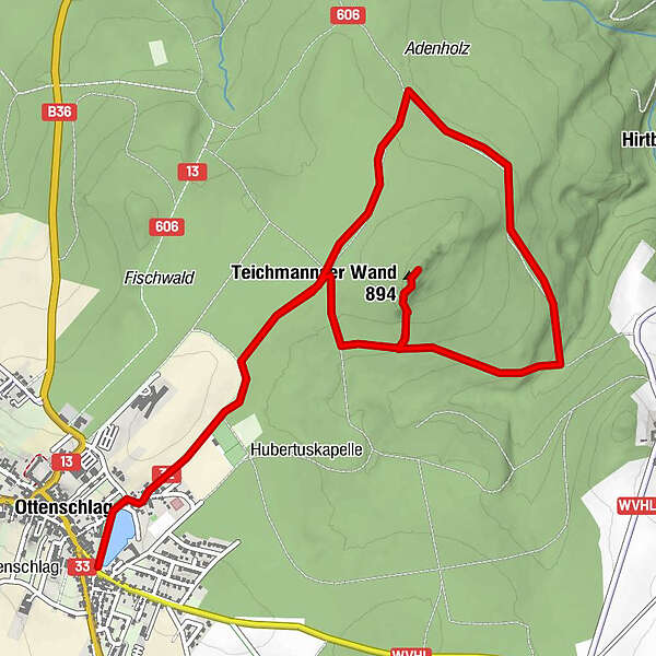
7.08km
817
- 883m
68hm
70hm
02:00h
- Brief description
-
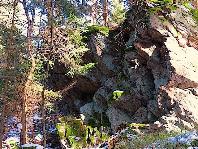
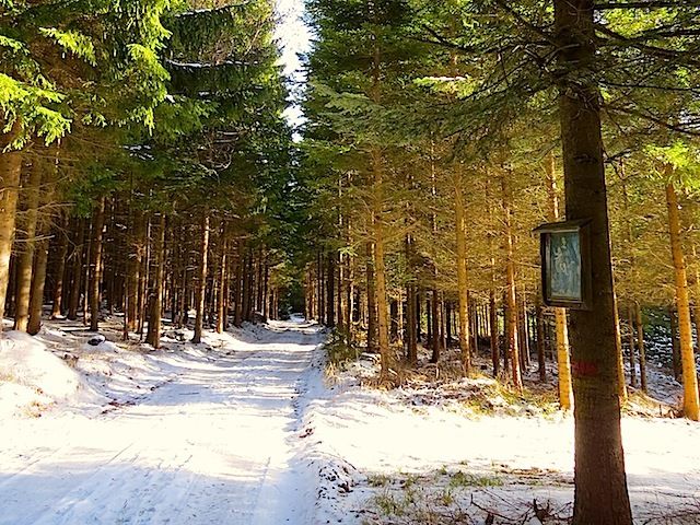
Die Tour führt durch eine typische, leicht hügelige Waldviertler Landschaft. Es geht durch Felder, Wiesen und Wälder, die sich ständig abwechseln.
- Difficulty
-
easy
- Rating
-
- Starting point
-
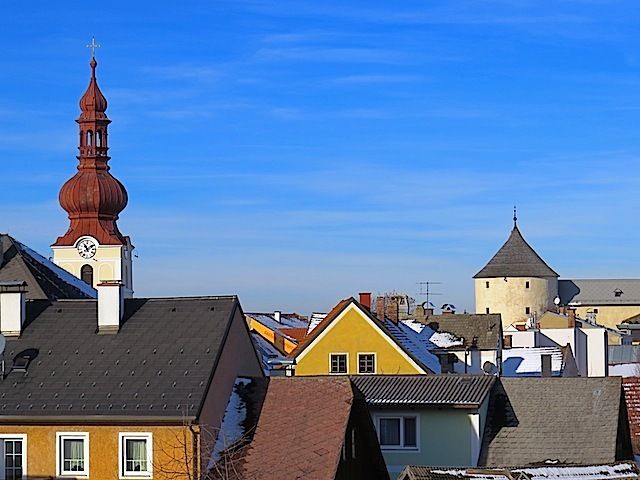
Ottenschlag
- Route
-
Ottenschlag0.1 kmTeichmannser Wand (894 m)2.3 kmOttenschlag6.7 km
- Highest point
- 883 m
- Source
- ZWalk
GPS Downloads


Other tours in the regions
-
Donau Niederösterreich
2287
-
Waldviertel Mitte
1246
-
Ottenschlag
249


