© Waldviertel Tourismus - Destination Waldviertel

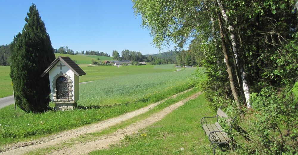
© Marktgemeinde Bad Traunstein
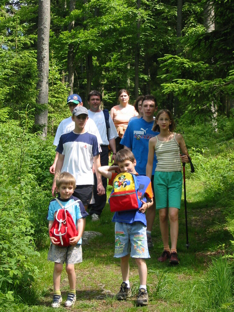
© Marktgemeinde Bad Traunstein

- Difficulty
-
medium
- Rating
-
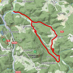
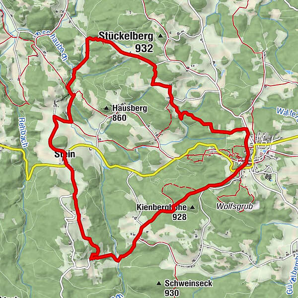
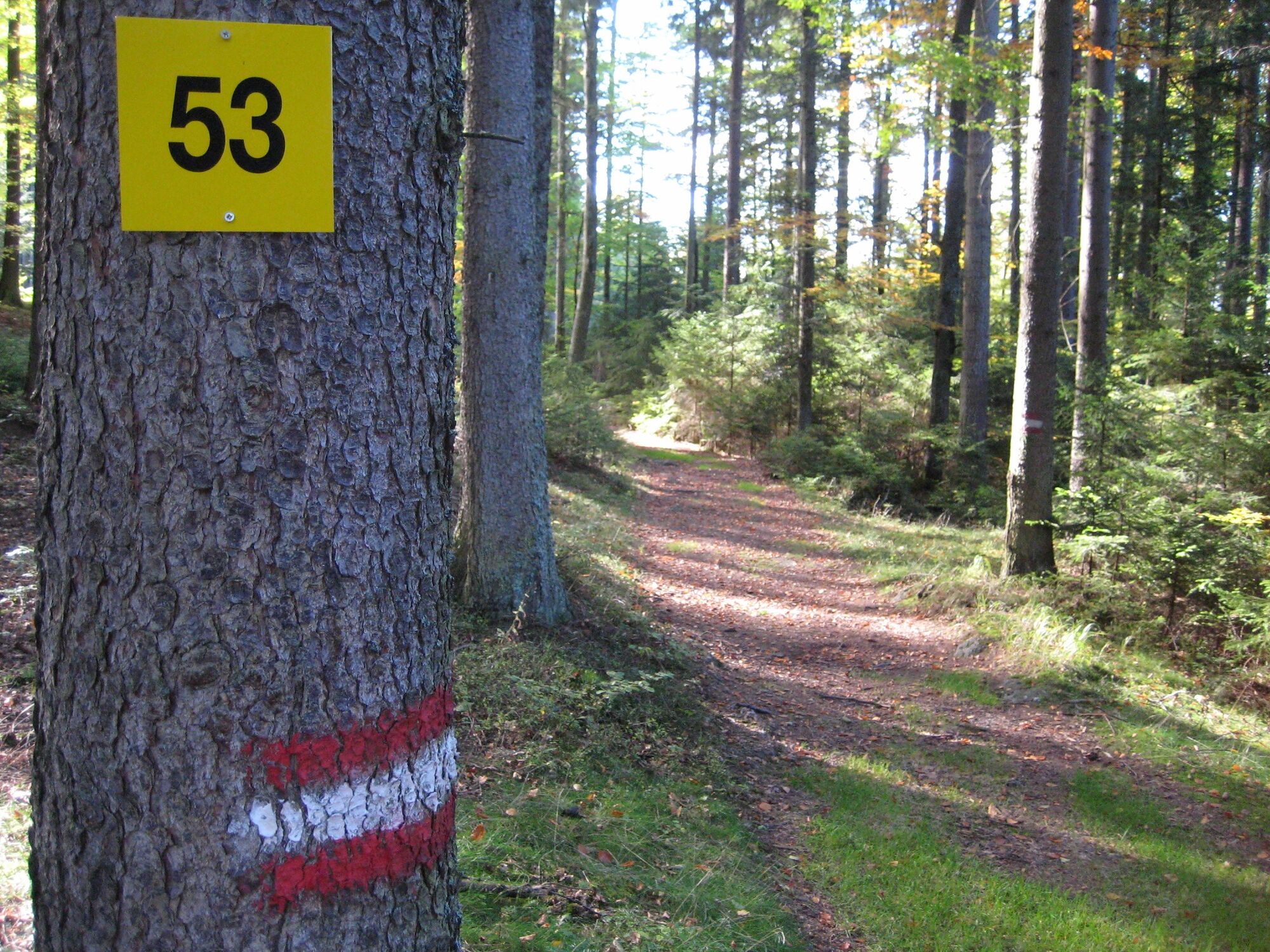
- Route
-
Bad Traunstein0.0 kmPrettles3.5 kmBuchegg4.4 kmStein5.6 kmLascheberlüß11.7 kmBad Traunstein13.0 km
- Best season
-
JanFebMarAprMayJunJulAugSepOctNovDec
- Highest point
- 917 m
- Endpoint
-
Parkplatz bei der Volksschule
- Height profile
-


- Author
-
The tour Panoramaweg Bad Traunstein Nr. 53 is used by outdooractive.com provided.
GPS Downloads


General info
Refreshment stop
Healthy climate
Flora
A lot of view
Other tours in the regions
-
Waldviertel
1776
-
Südliches Waldviertel
936
-
Bad Traunstein
273