Winter
Summer
Weather
Webcams
Accommodations
Tours
Search history
Search suggestions
No results found
Search
Tours
Home
Summer Österreich
Lower Austria
Tours
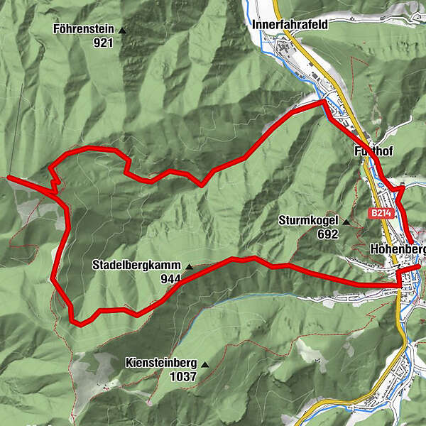
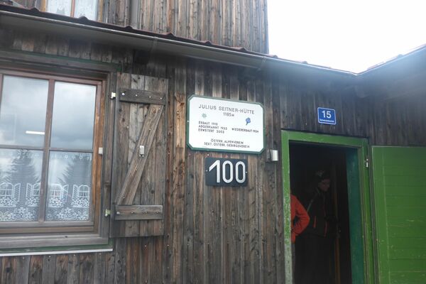
Hohenberg - Türnitzer Hütte - Furthof - Hohenberg
Regions
Weather
Webcams
Tours
Highlights
Bathing lakes
Accommodations
Offers
Sports provider
Events
Ski resorts
Cross-country skiing
Snow parks
Hohenberg - Türnitzer Hütte - Furthof - Hohenberg
Hiking
Bookmark
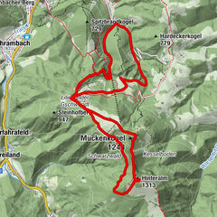
Map
show
hide
Print
Tour data
-
-
Distance
-
Ascent
-
Duration
created am 21.07.2013
1,141
Views
Difficulty
medium
Rating
Technique
Fitness
Landscape
Experience
3,0
Write a review
Overall rating
5
0
%
4
0
%
3
100
%
2
0
%
1
0
%
Reviews
3,0
(1)
0 Comments
Write a review
Error
An error has occurred. Please try again.
Thank you for your review
Rating has been deleted
Report tour
GPS Downloads
GPX
GPS Exchange Format (XML)
KML
Google Earth, Google Maps
QR Download Codes for Mobile Phones
Hohenberg - Türnitzer Hütte - Furthof - Hohenberg
QR Codes - tour download for cell phones
GPX
KML
Other tours in the regions
Mostviertel
2453
Traisen-Gölsental
1335
Hohenberg
342
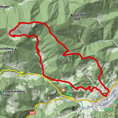
Popular tours in the area
Eisenstein mit Start aus Türnitz
medium
Hiking
14.6
km |
787
hm |
05:00
h
Schneeberg - Nandlgrat
difficult
Hiking
12.87
km |
1250
hm |
05:30
h
Lilienfeld (Muckenkogel)
medium
Hiking
14.09
km |
902
hm |
05:05
h
Reisalpe
medium
Hiking
10.83
km |
713
hm |
02:42
h
No entries found.
The search is currently not available.
Please refine your search.
Local search results
(<= 25km)
More results
(> 25km)
%count% Search results
%name%
%type%
%elevation%
%population%
%lpButton%