
- Brief description
-
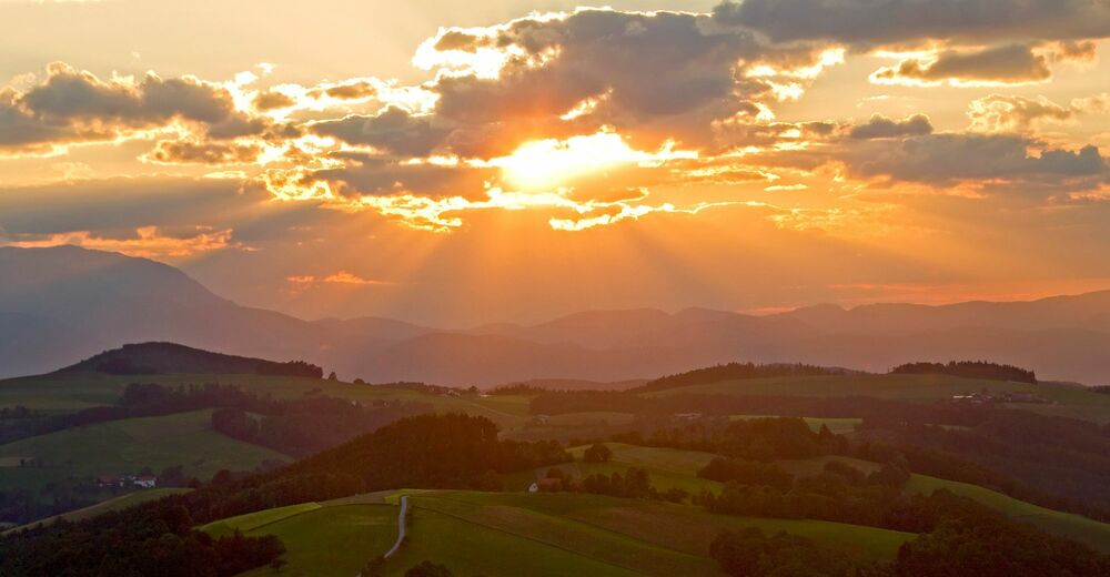
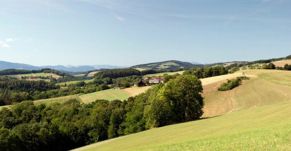
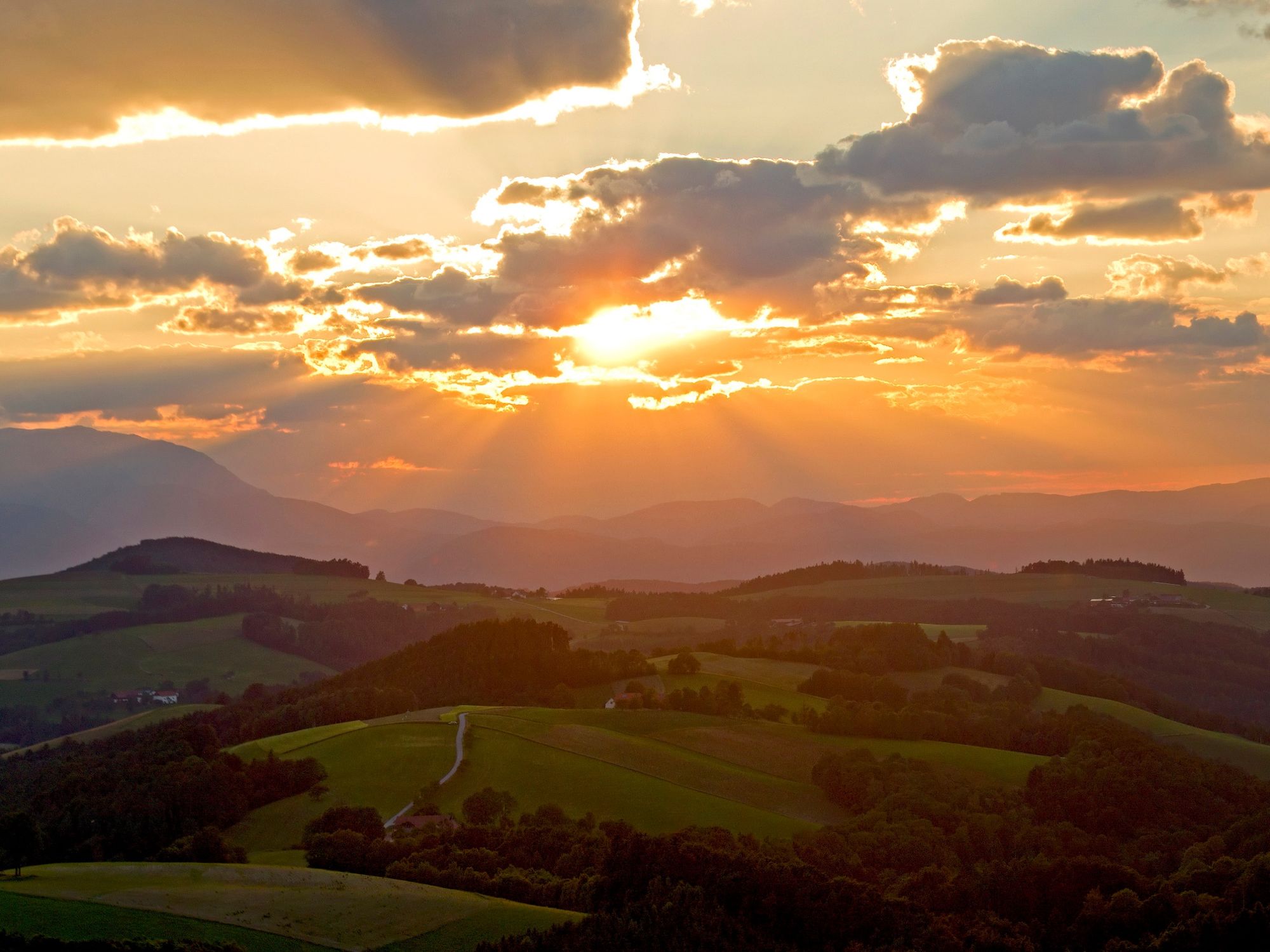
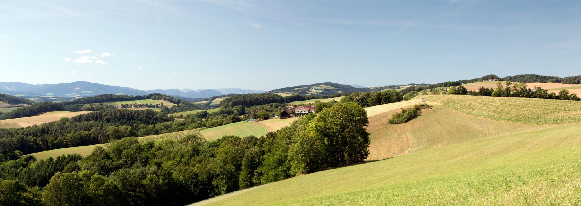
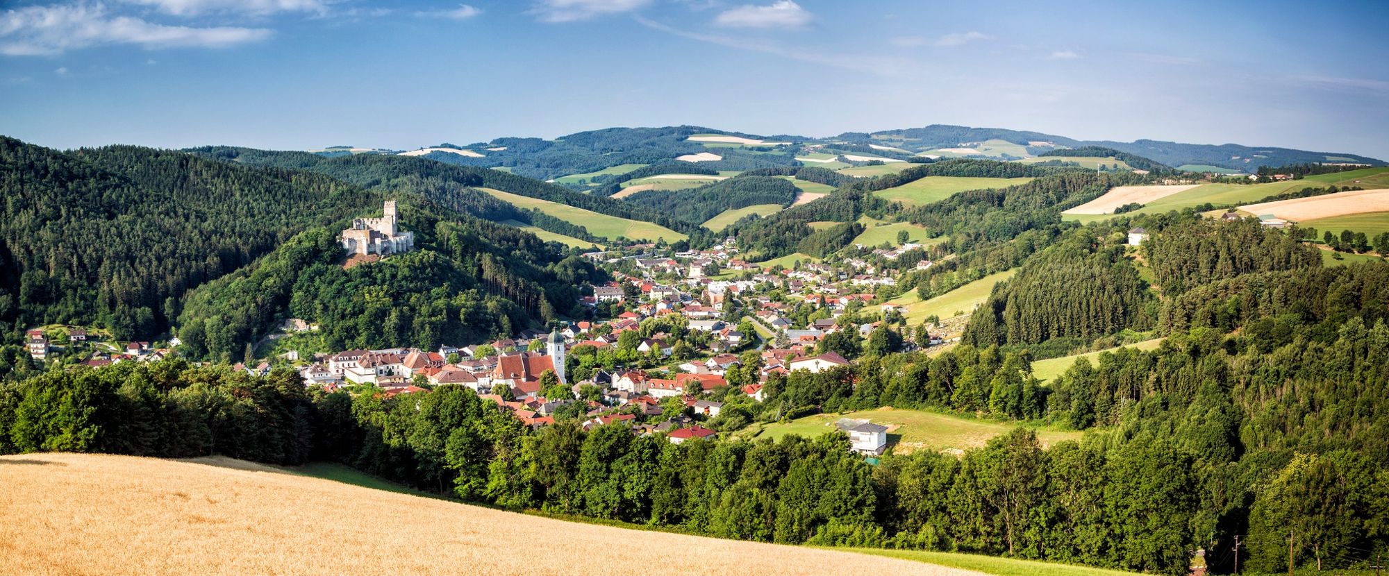
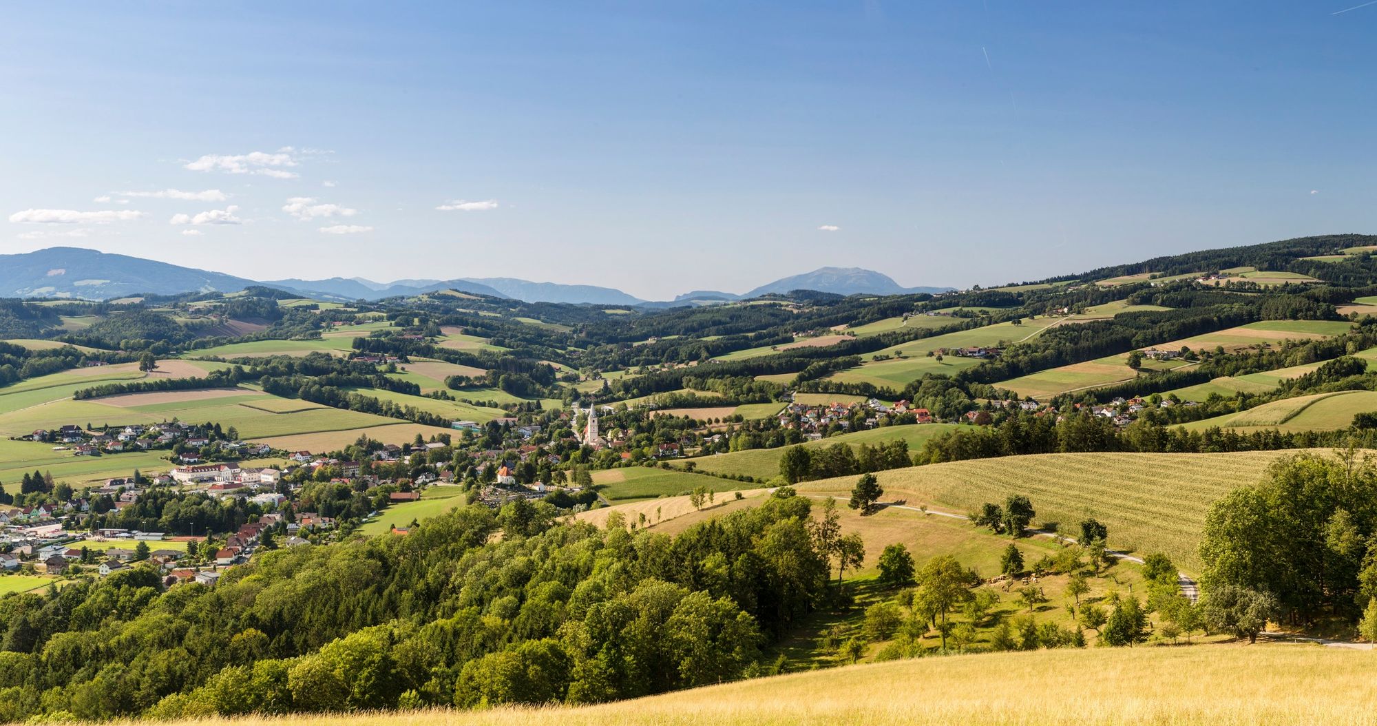
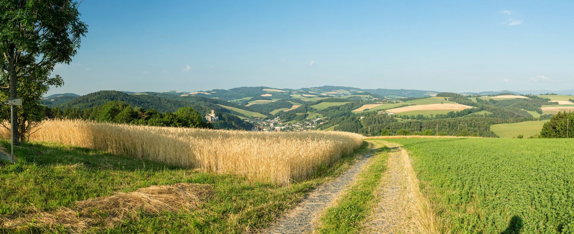
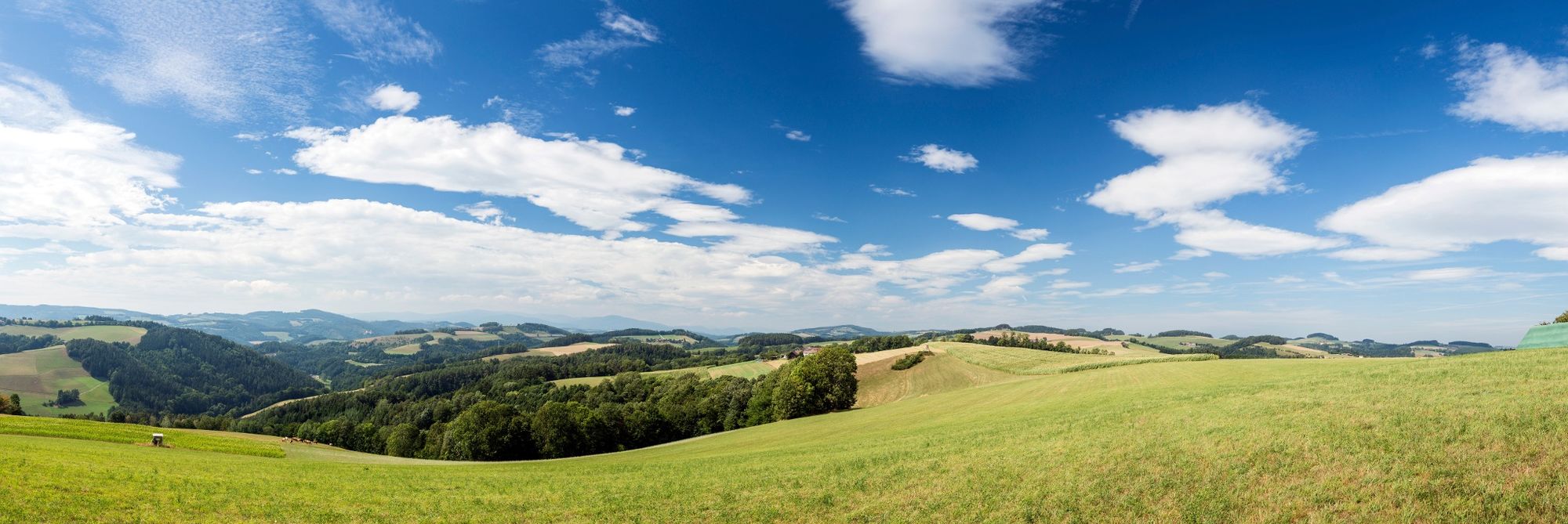
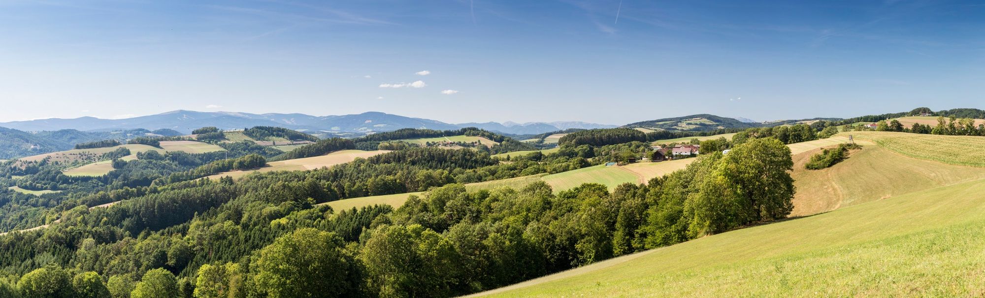
The 5th stage of the Viennese Alps route (WAB) is an ever-changing mix of hills, rifts, coniferous and mixed forests. This short stage features truly memorable scenery.
- Difficulty
-
easy
- Rating
-
- Starting point
-
Kirchschlag, Kaiser Franz Josef monument
- Route
-
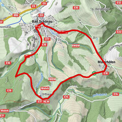
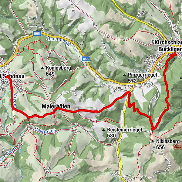
Kirchschlag in der Buckligen WeltGrandits4.5 kmMaierhöfen6.8 kmKapelle6.9 kmGasthof zum Nusspaumhoff8.9 kmWehrkirche am Kirchriegel8.9 kmBad Schönau9.2 kmMarienkirche9.2 kmHotel Geier9.2 km
- Best season
-
JanFebMarAprMayJunJulAugSepOctNovDec
- Description
-
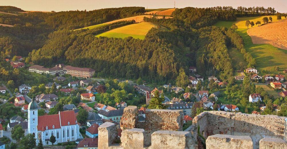
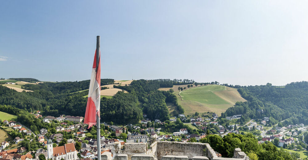
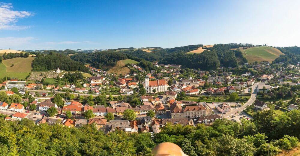
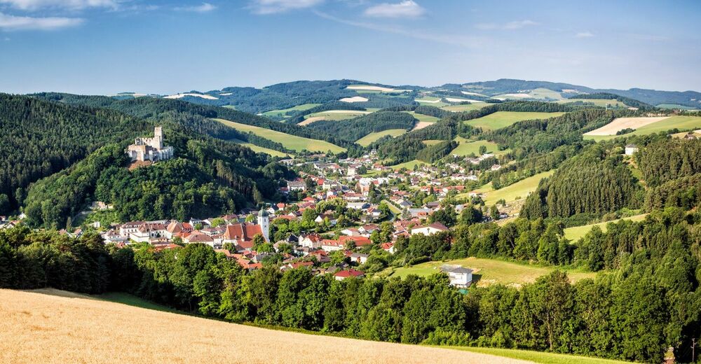
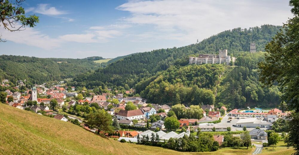
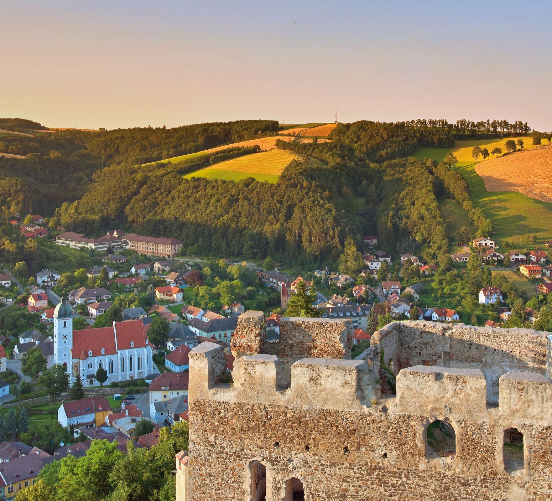
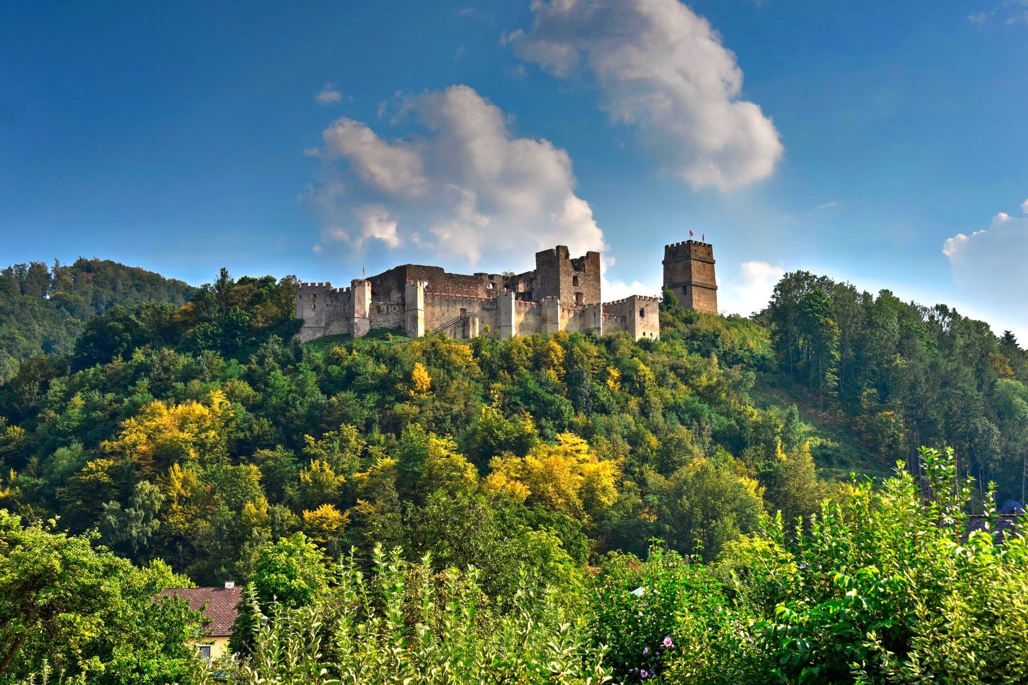
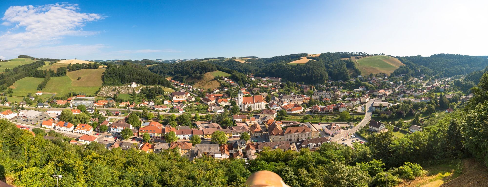
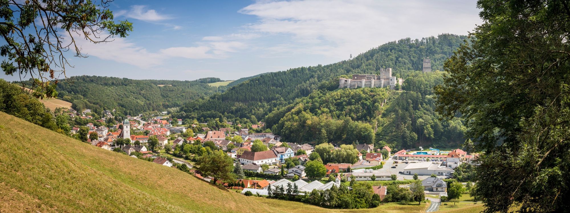
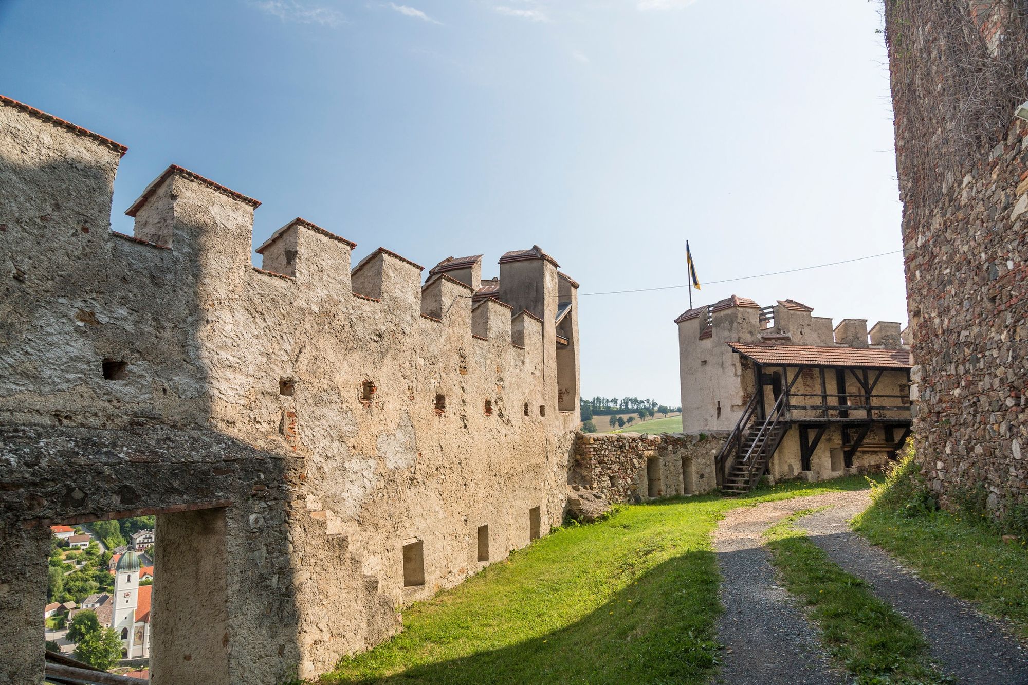
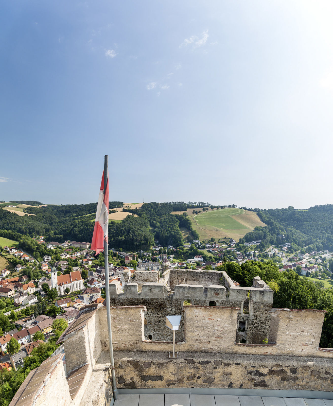
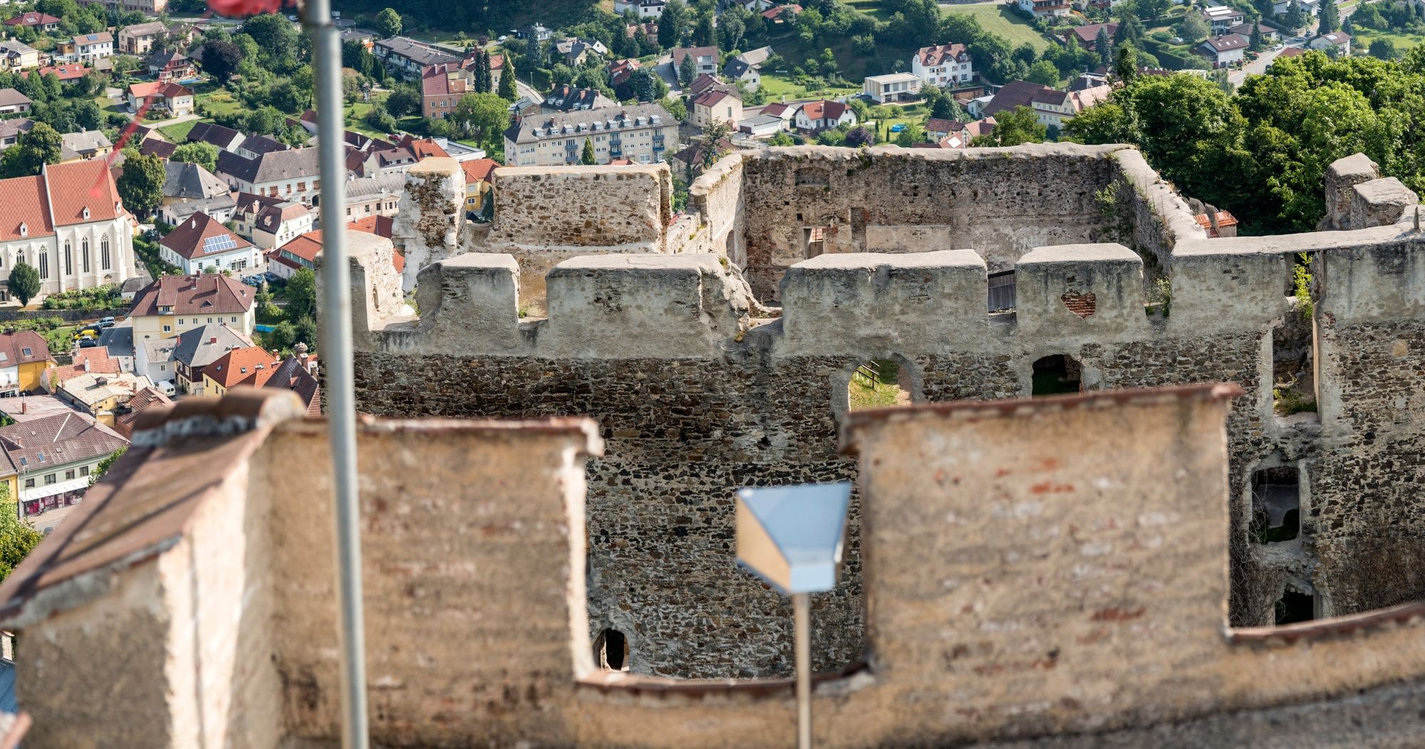
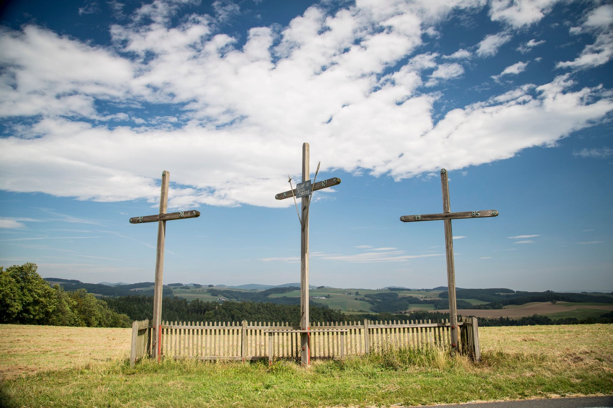
The inhabitants of the Bucklige Welt showed they were especially rebellious and brave when their homeland was threatened by warriors from the Ottoman Empire, the kuruc. The final bullet holes in the door of the fortified church at Bad Schönau showed how hard-fought the battle was and how brave the inhabitants of the Bucklige Welt were. Fortified churches were often the only protection available against the marauding kuruc, and the vantage point at the ruins of Kirchschlag Castle takes you back to those turbulent times. The Türkenbrunnen well and Kuruzzenlöcher caves are a reminder of such times.
- Directions
-
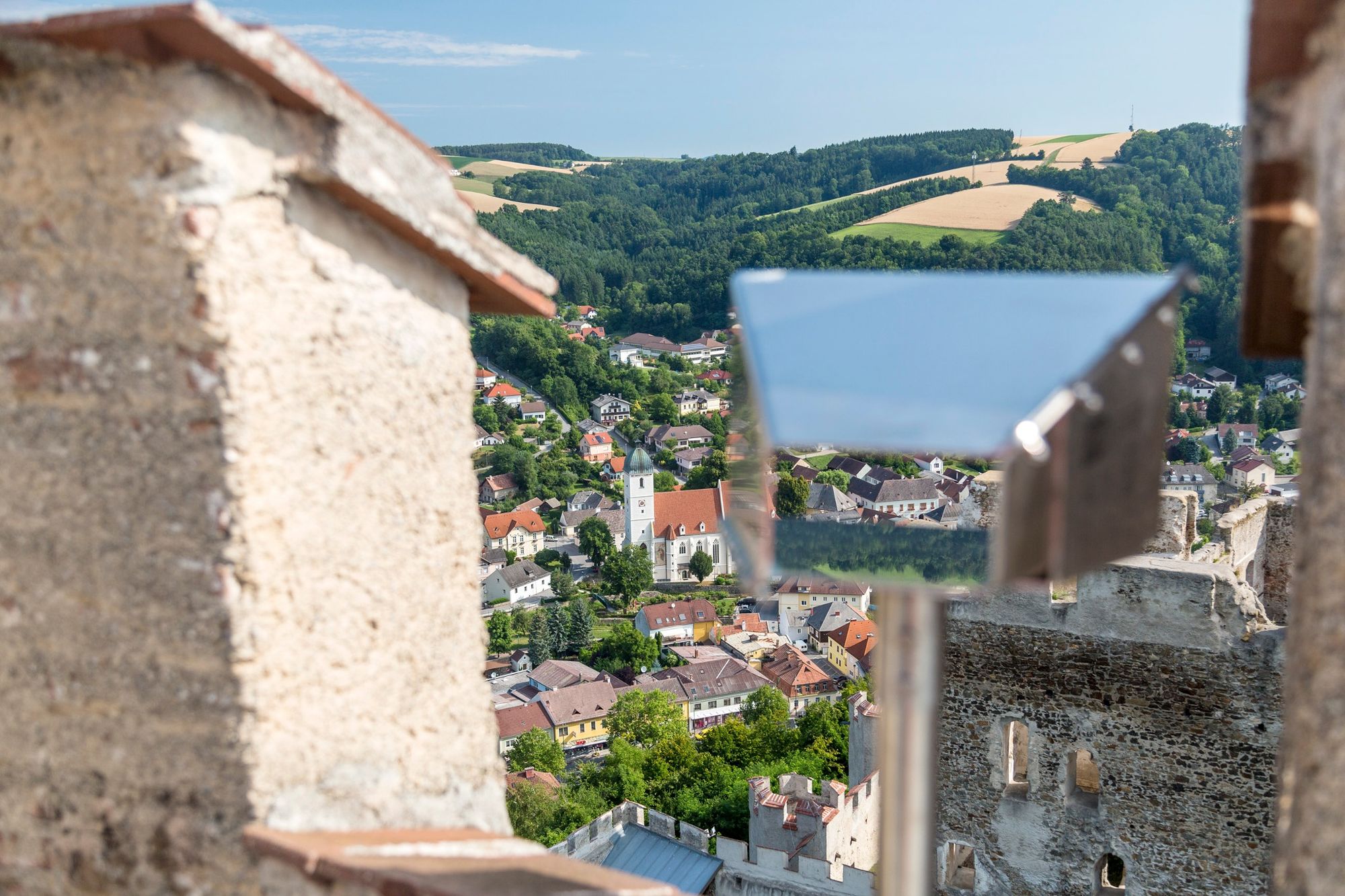
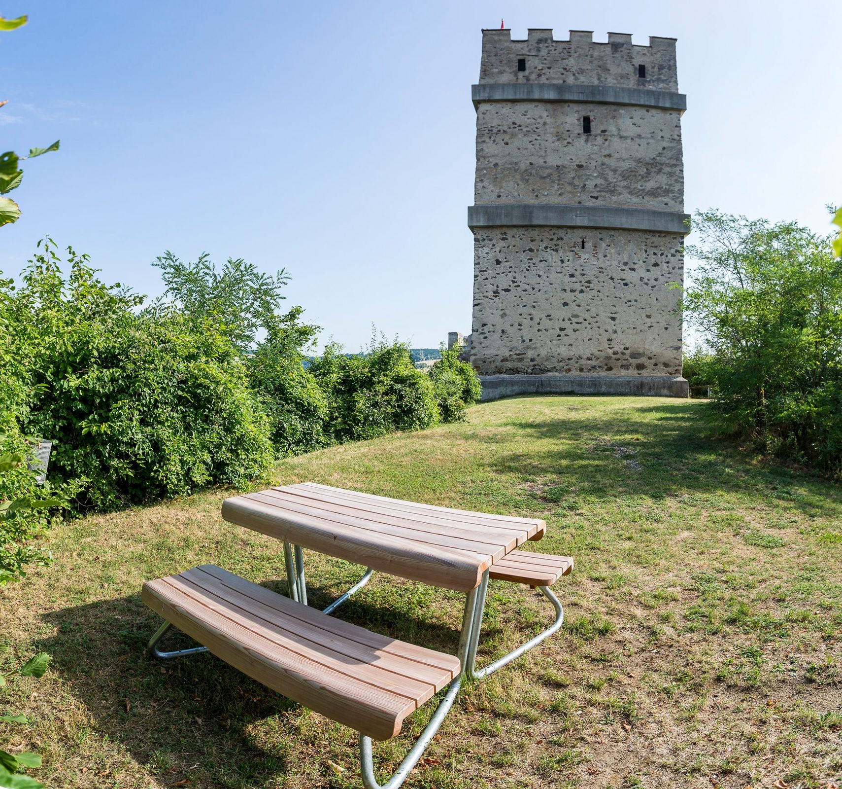
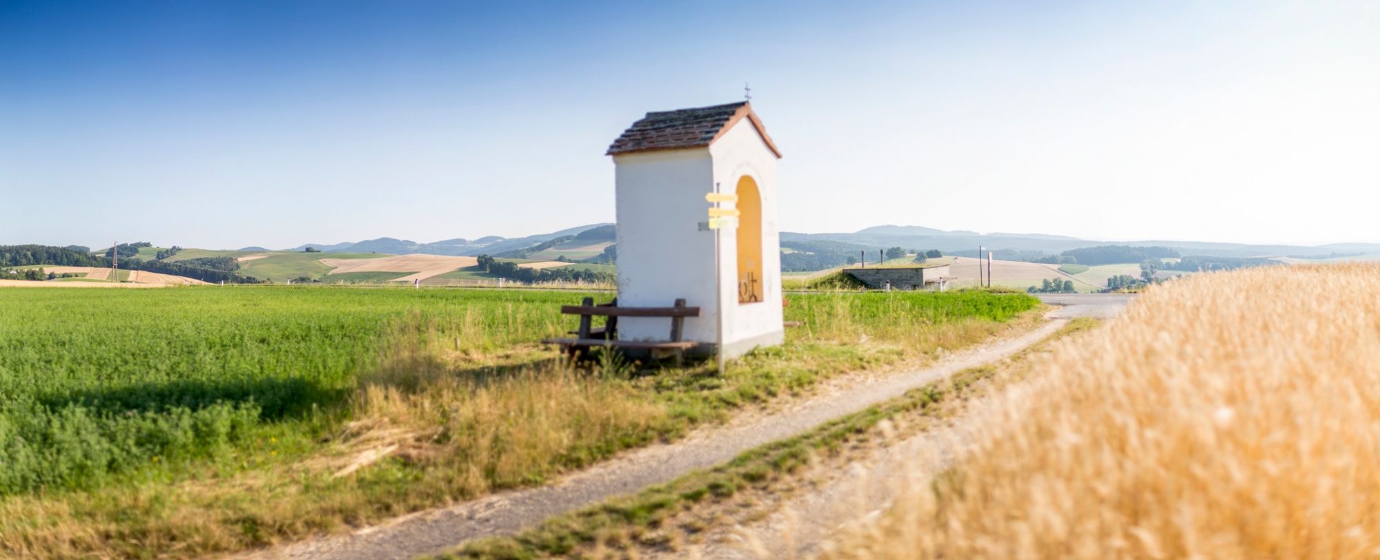
The 5th stage starts at the Viennese Alps information board at the Kaiser Franz Josef monument adjacent to the Hotel Post in Kirchschlag. The hiking route ascends to the castle ruins and we enter these. After visiting the ruins, we leave via a wooden bridge through the main entrance and see the rugged tower with the vantage point right at the top of the observation platform. We head downhill along the gravel track to a small car park then veer left to the nature trail. Continue past a sequoia tree before turning right at a lay-by onto a cart track. We head up a very steep ascent into a ditch, it becomes somewhat flatter and the hiking route branches off to the right along a track. The narrow forest path merges into a crossroads where it is relatively flat, whilst the Viennese Alps trail continues to lead us uphill via a gravel track on the edge of the forest. We head past a farm on the right-hand side and reach Sechterleiten hill and a transmission mast. We turn right onto the road and follow the edge of the road for a few minutes downhill to a forest trail. This is followed heading towards Bad Schönau before turning left once again. We descend down the forest road to a country road, head over a walkway, then hike along the country road for a few metres. Just before the sign for Kirchschlag, we cross the road and hike along Seiserstraße, which is marked out in red. We turn left a few metres further on and hike up a steep field path. After going past a farmstead we head downhill onto a track towards and into Maierhöfen. At house no. 11 we turn left and follow the markings slightly uphill until we reach a chapel. At this point, we turn left and follow the track, veering right towards the heights. A stunning panoramic route guides us slightly downhill past the edge of the forest to the saddle of a hill, where we turn right heading towards Bad Schönau. After a brief detour to the fortified church, we head downhill towards the village centre and turn onto Kurhausstraße opposite Hotel Geier. The tourist information office can be seen on the right-hand side.
- Highest point
- 623 m
- Endpoint
-
Bad Schönau tourist office
- Height profile
-

- Equipment
-
Always bring suitable maps. Always wear appropriate, sturdy footwear, bring sun and rain protection and water, as well as a little something to eat. Bring your mobile phone with you and save the mountain rescue emergency number: 140
- Safety instructions
-
Your hiking experience in the Vienna Alps should be a thoroughly enjoyable and safe one. Therefore, please bear the following in mind:
Preparation
When choosing a route, make sure it corresponds to your experience and physical fitness level. Check the weather forecast before you set off. The weather can change surprisingly quickly in the mountains. Always take appropriate equipment with you (e.g. rain protection).
Check whether the cabins and snack stations you intend to visit along the way are open. Inform someone before you set off of your chosen route and when you plan to return.
- Tips
-
Combine the hike to Bad Schönau with a stay in a Deluxe room at Hotel Weber. Bookable offers can be found here.
- Additional information
-
You may like to hike the adjoining routes:
WAB - Stage 4: Wiesmath - Kirchschlag
WAB - Stage 6: Bad Schönau - Gschaidt
WAB - Regional Route C: Krumbach - Kirchschlag
WAB - Regional Route D: Bad Schönau - Krumbach
Viennese Alps in Lower Austria, www.wieneralpen.at, +43 / 2622 / 78960
Tourismusinformation Bad Schönau, www.badschoenau.at, +43 / 2646 / 8284
Gemeinde Kirchschlag in der Buckligen Welt, www.kirchschlag-bw.gv.at, +43 / 2646 / 22130
- Directions
-
If you are travelling from Vienna on the A2 take the Krumbach exit and head in the direction of Hungary then drive on the Krumbach junction. Follow the signs to Kirchschlag. If you are coming from Graz on the A2, take the Aspang exit and then continue towards Zöbern. Follow the signs to Kirchschlag.
- Public transportation
-
Take either the 7860 regional VVNB bus from Wiener Neustadt railway station or the 1772 bus from Edlitz-Grimmenstein station to get to Kirchschlag.
More information can be found at www.oebb.at
- Parking
-
A public car park is available beneath the Kirchschlag ruins at the Kaiser Franz Josef monument.

- Author
-
The tour WAB - Stage 5: Kirchschlag - Bad Schönau is used by outdooractive.com provided.