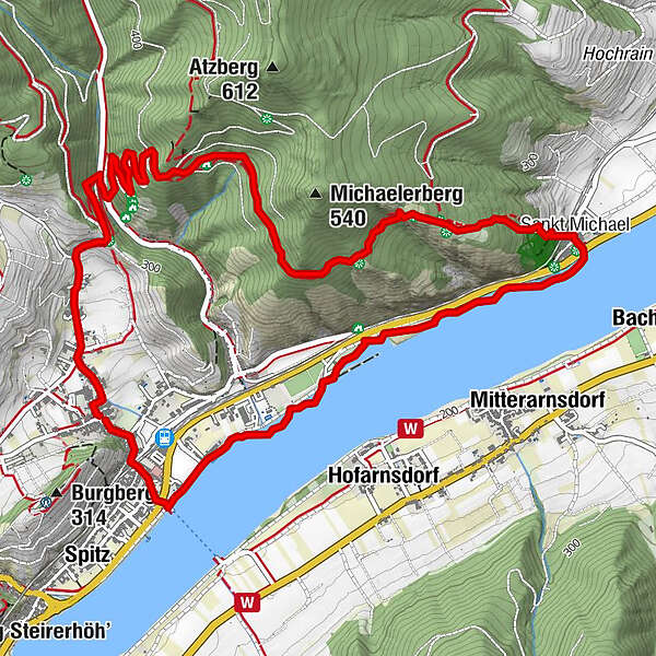
St. Michael-Rundweg

Hiking
Map
Hide map
Print

Which problem do you want to report on this tour?

Tour data
7.05km
199 - 408m
Distance
219hm
225hm
Ascent
02:30h
 
Duration
GPS Downloads
  • GPX GPS Exchange Format (XML)
  • KML Google Earth, Google Maps
QR Download Codes for Mobile Phones

General info

Refreshment stop
Other tours in the regions

Popular tours in the area

Seekopf und Hirschwand

medium Hiking
2.73km | 600hm | 00:40h

Wine hiking trail Spitz

easy Hiking
4.32km | 140hm | 01:30h

Burgruine Dürnstein - Fesslhütte - Vogelbergsteig

easy Hiking
4.73km | 430hm | 02:30h

Vogelbergsteig Dürnstein

medium Hiking
3.92km | 334hm | 02:30h