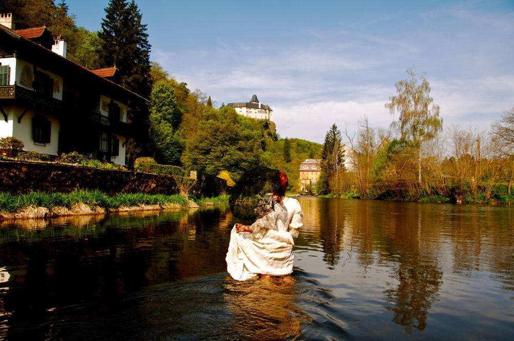
© © Monika Kölbl, Schloss Rosenburg, Gemeinde Rosenburg-Mold - Destination Waldviertel

© © Monika Kölbl, Schloss Rosenburg, Gemeinde Rosenburg-Mold - Destination Waldviertel

© © Monika Kölbl, Schloss Rosenburg, Gemeinde Rosenburg-Mold - Destination Waldviertel

© © Monika Kölbl, Schloss Rosenburg, Gemeinde Rosenburg-Mold - Destination Waldviertel

- Difficulty
-
medium
- Rating
-
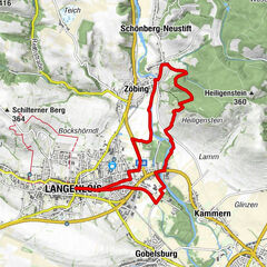
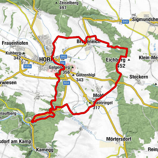
- Route
-
Rosenburg am KampMold6.1 kmMaria-Dreieichen7.6 kmBasilika Maria Dreieichen7.6 kmGraselhöhle7.8 kmBreiteneich14.1 kmHorn (311 m)17.7 kmKreuzigungskapelle17.8 kmElisabethkapelle24.0 kmRosenburg am Kamp24.3 km
- Highest point
- 447 m
- Height profile
-


- Author
-
The tour Gemeinde-Rundweg is used by outdooractive.com provided.
GPS Downloads


General info
A lot of view
Other tours in the regions
-
Donau Niederösterreich
2289
-
Kamptal - Manhartsberg
1158
-
Horn
119