© ZWalk.at

© ZWalk.at
© ZWalk.at
Tour data
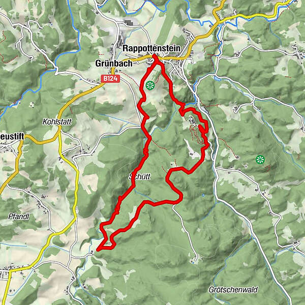
10.69km
603
- 745m
222hm
03:00h
- Brief description
-
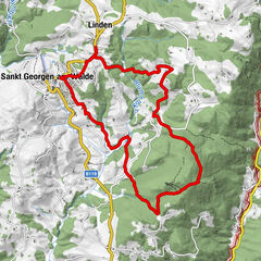
Die Tour führt durch eine typische, leicht hügelige Waldviertler Landschaft. Es geht durch Felder, Wiesen und Wälder, die sich ständig abwechseln.
- Difficulty
-
easy
- Rating
-
- Starting point
-
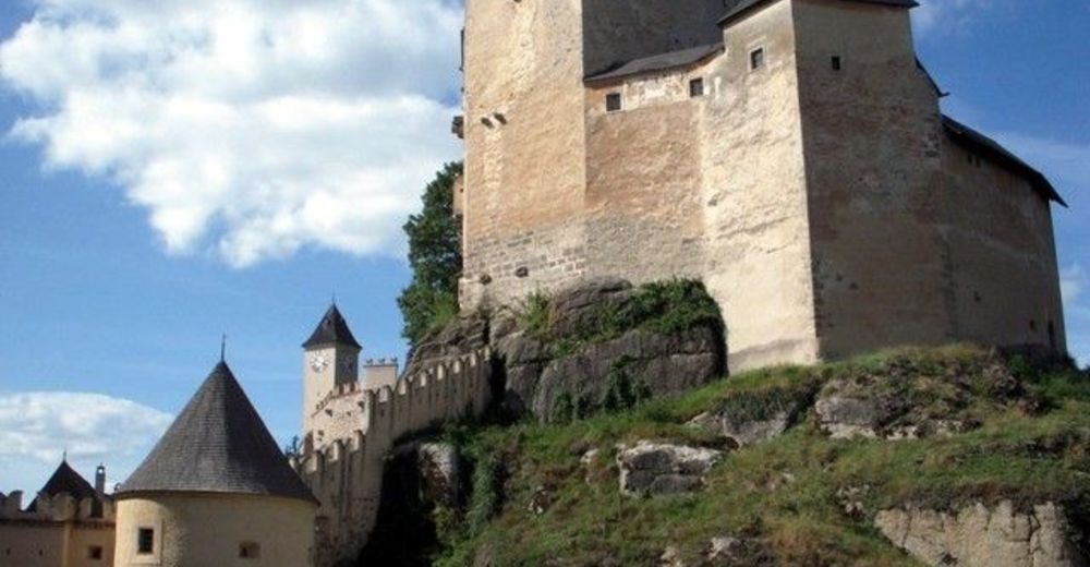
Rappottenstein
- Route
-
Rappottenstein0.0 kmGasthof-Restaurant Rotheneder0.1 kmGasthaus Waldhof0.1 kmNondorferfeld0.5 kmAnnakapelle0.6 kmHofstädterfeld9.8 kmRappottenstein10.5 kmGasthof-Restaurant Rotheneder10.6 kmGasthaus Waldhof10.6 km
- Highest point
- 745 m


- Source
- ZWalk
GPS Downloads


Trail conditions
Asphalt
Gravel
Meadow
Forest
Rock
Exposed
Other tours in the regions
-
Waldviertel
1775
-
Südliches Waldviertel
935
-
Rappottenstein
312