© ZWalk.at
© ZWalk.at
© ZWalk.at
Tour data
11.44km
747
- 809m
157hm
04:00h
- Brief description
-
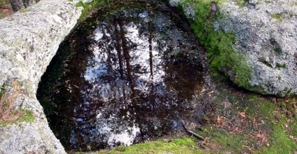
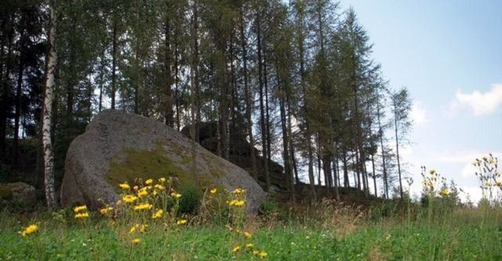
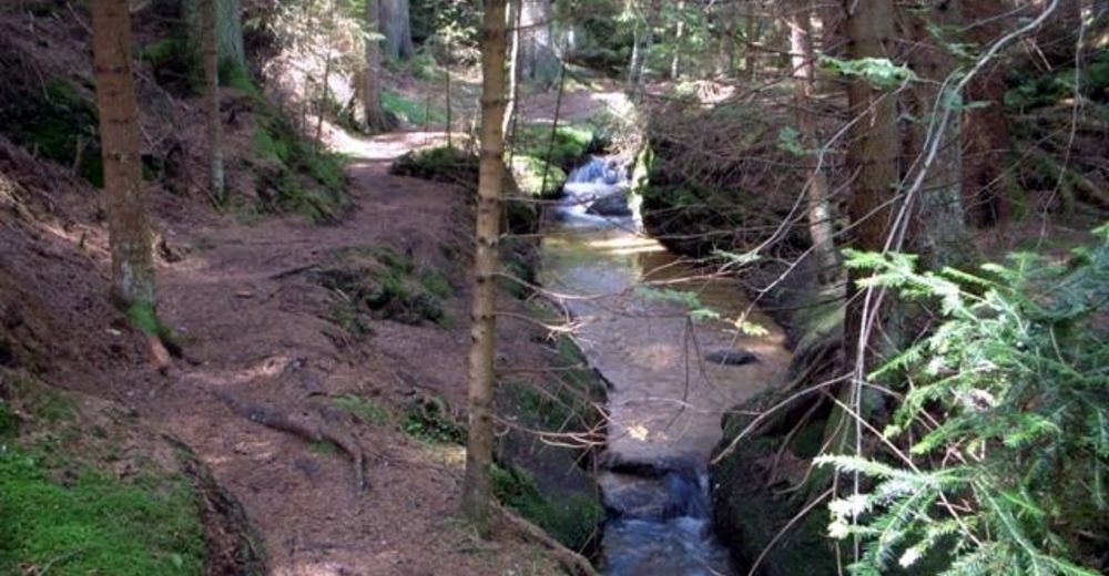
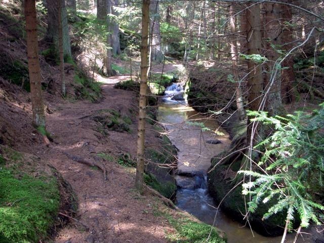
Die Tour führt durch eine typische, leicht hügelige Waldviertler Landschaft. Es geht durch Felder, Wiesen und Wälder, die sich ständig abwechseln.
- Difficulty
-
easy
- Rating
-
- Starting point
-
Langschlag
- Route
-
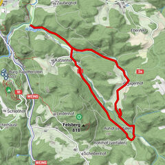
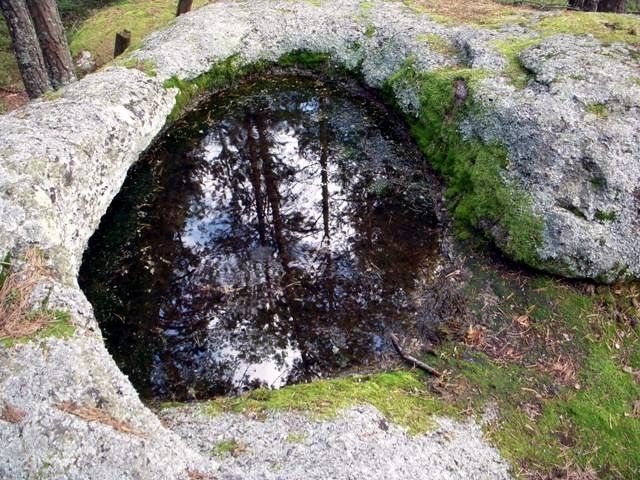
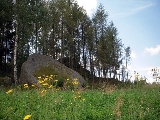
Langschlag0.1 kmOpferstein (800 m)1.7 kmLangschlager Feld3.0 kmSchmerbach3.3 kmTeufelsmühle5.4 kmStierberg (829 m)6.8 kmLangschlag10.8 km
- Highest point
- 809 m
- Source
- ZWalk
GPS Downloads


Trail conditions
Asphalt
Gravel
Meadow
Forest
Rock
Exposed
Other tours in the regions
-
Waldviertel
1777
-
Oberes Waldviertel
614
-
Langschlag im Waldviertel
285