
© ZWalk.at
© ZWalk.at
© ZWalk.at
Tour data
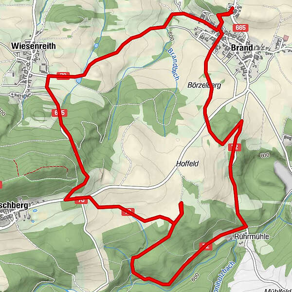
9.11km
589
- 721m
187hm
02:30h
- Brief description
-
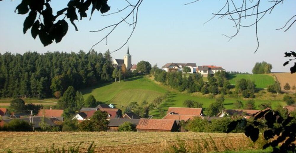
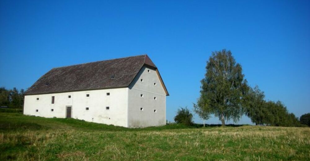
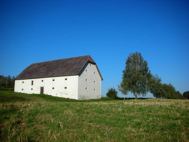
Die Tour führt durch eine typische, leicht hügelige Waldviertler Landschaft. Es geht durch Felder, Wiesen und Wälder, die sich ständig abwechseln.
- Difficulty
-
easy
- Rating
-
- Starting point
-
Brand
- Route
-
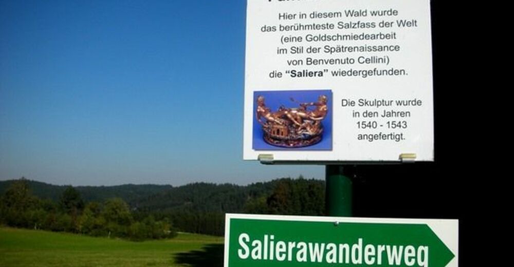
Pfarrkirche zum hl. Georg0.0 kmGasthof Hagmann0.0 kmBrand0.4 kmPörzelberg0.6 kmWiesenreith7.0 kmBrand8.8 kmPfarrkirche zum hl. Georg9.1 kmGasthof Hagmann9.1 km
- Highest point
- 721 m


- Source
- ZWalk
GPS Downloads


Trail conditions
Asphalt
Gravel
Meadow
Forest
Rock
Exposed
Other tours in the regions
-
Waldviertel
1776
-
Waldviertel Mitte
1247
-
Waldhausen
267


