© Waldviertel Tourismus, Studio Kerschbaum

- Brief description
-
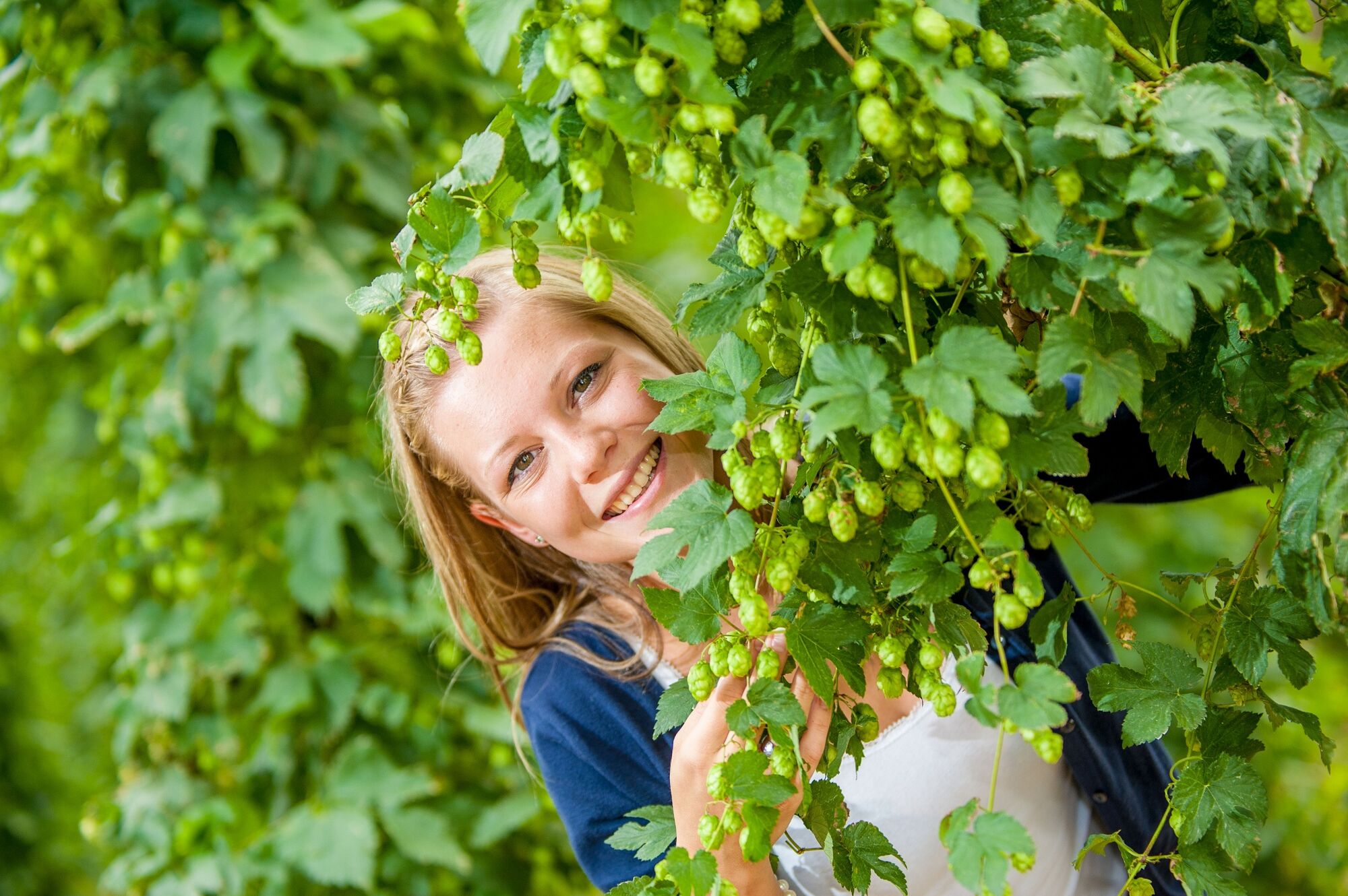
Kraftvolle, erfrischend grüne Wälder, idyllische Flussläufe, blühende Mohn-, Raps- und Hopfenfelder, kilometerlange Feldwege – hier im Herzen des Waldviertels schlägt das Wanderherz besonders hoch. Der Zusammenfluss von Kamp und Zwettl prägt die Natur rund um die historische Stadt Zwettl, es entsteht eine einzigartige geografische Tallage. Zwettl erhielt das österreichische Wandergütesiegel und ist zertifiziertes „Wanderdorf“.
- Difficulty
-
easy
- Rating
-
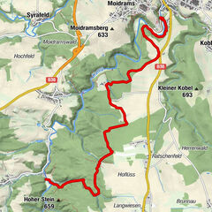
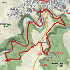
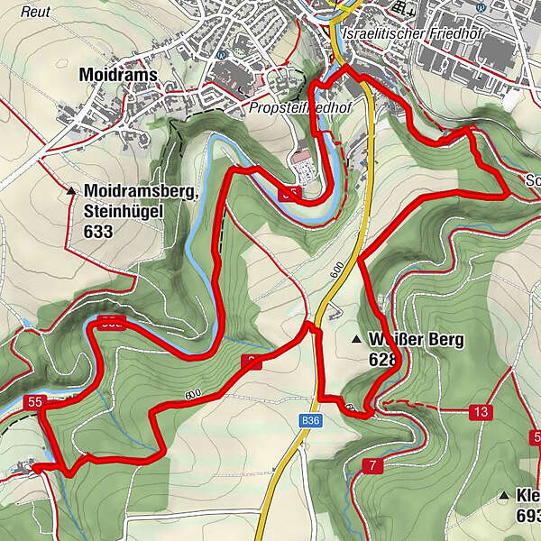
- Route
-
ZwettlGestette0.5 kmSchwarz Alm5.2 kmBründlkirche8.8 kmZwettl9.1 km
- Best season
-
JanFebMarAprMayJunJulAugSepOctNovDec
- Highest point
- 616 m
- Endpoint
-
Privatbrauerei Zwettl
- Height profile
-

- Author
-
The tour Zwettler Bierweg is used by outdooractive.com provided.
GPS Downloads


General info
Refreshment stop
Other tours in the regions
-
Waldviertel
1776
-
Waldviertel Mitte
1247
-
Zwettl
247