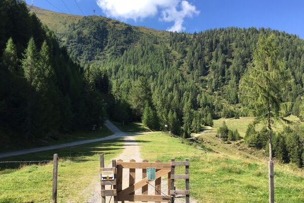
© Waldviertel Tourismus - Destination Waldviertel

- Difficulty
-
easy
- Rating
-
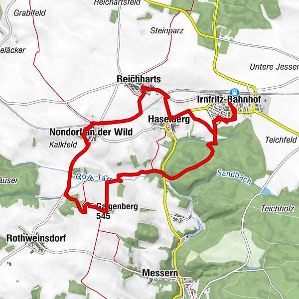
- Route
-
Irnfritz-BahnhofKaindlmühle2.3 kmGalgenberg (545 m)4.4 kmNondorf an der Wild6.3 kmReichharts7.9 kmHaselberg8.8 kmIrnfritz-Bahnhof10.8 km
- Best season
-
JanFebMarAprMayJunJulAugSepOctNovDec
- Highest point
- 551 m
- Height profile
-

- Author
-
The tour Galgenbergwanderweg is used by outdooractive.com provided.
GPS Downloads


Other tours in the regions
-
Waldviertel
1779
-
Kamptal - Manhartsberg
1159
-
Irnfritz-Messern
79