© Mostviertel - Mostviertel Tourismus GmbH

- Brief description
-
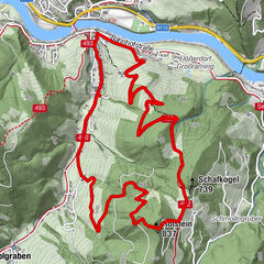
Panorama Wandertour auf dem Sonntagberger Höhenrücken mit herrlicher Aussicht auf das "wilde" und "milde" Mostviertel
- Difficulty
-
easy
- Rating
-
- Best season
-
JanFebMarAprMayJunJulAugSepOctNovDec
- Highest point
- 708 m
- Endpoint
-
Mostviertler Höhenstraße
- Height profile
-

- Author
-
The tour Panoramahöhenweg: Burgmat- / Sandlehen-Runde bei Sonntagberg is used by outdooractive.com provided.
GPS Downloads


General info
A lot of view
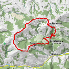
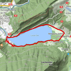
Other tours in the regions
-
Mostviertel
2455
-
Melker Alpenvorland
797
-
Allhartsberg
172