© ZWalk.at
© ZWalk.at
© ZWalk.at
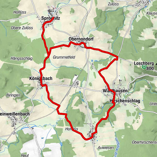
Tour data
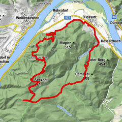
13.19km
666
- 727m
102hm
03:30h
- Brief description
-
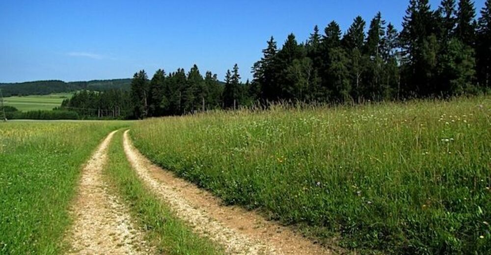
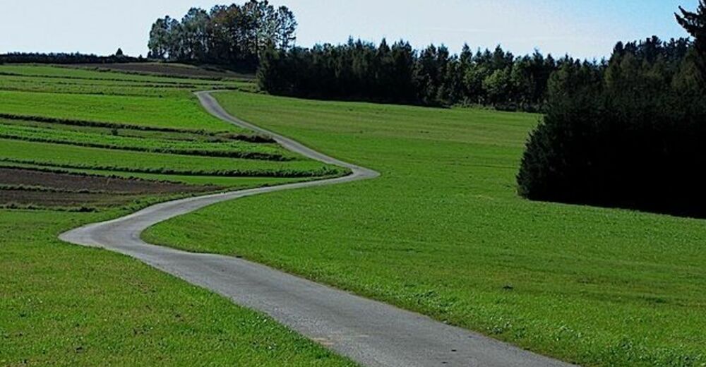
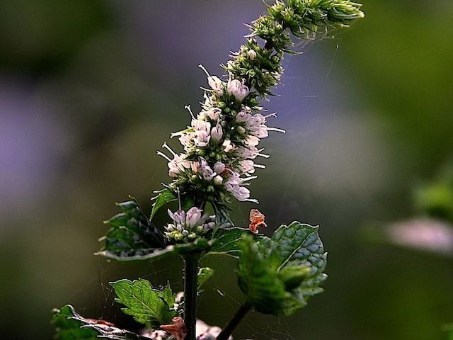
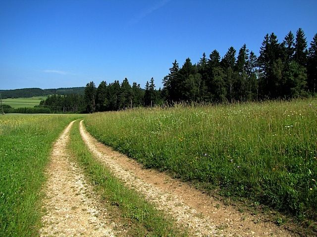
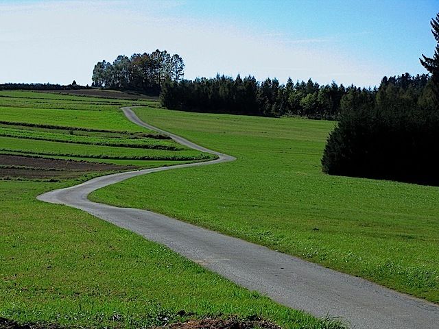
Die Tour führt durch eine typische, leicht hügelige Waldviertler Landschaft. Es geht durch Felder, Wiesen und Wälder, die sich ständig abwechseln.
- Difficulty
-
easy
- Rating
-
- Starting point
-
Sprögnitz
- Route
-
Sprögnitz0.2 kmBirkenwiesen1.8 kmObernondorf2.4 kmGasthaus Wagner2.6 kmChurch Obernondorf2.7 kmLepanzer Maurerfeld5.2 kmWaldhausen5.8 kmPfarrkirche zu hl. Petrus und Paulus5.9 kmHirschenschlag6.3 kmRappoltschlag7.6 kmHoflüß7.9 kmHoflüss8.4 kmGrünbühel (722 m)9.8 kmKönigsbach10.7 kmSprögnitz12.9 km
- Highest point
- 727 m
- Source
- ZWalk
GPS Downloads


Trail conditions
Asphalt
Gravel
Meadow
Forest
Rock
Exposed
Other tours in the regions
-
Waldviertel
1776
-
Waldviertel Mitte
1247
-
Waldhausen
267