© hel

© hel

© hel

© hel

© hel

© hel

© hel

© hel

© hel

© hel
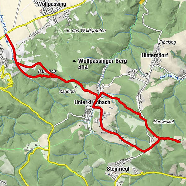
Tour data
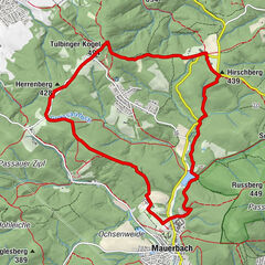
13.8km
181
- 497m
425hm
425hm
03:15h
- Brief description
-
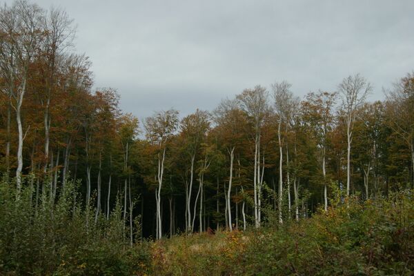
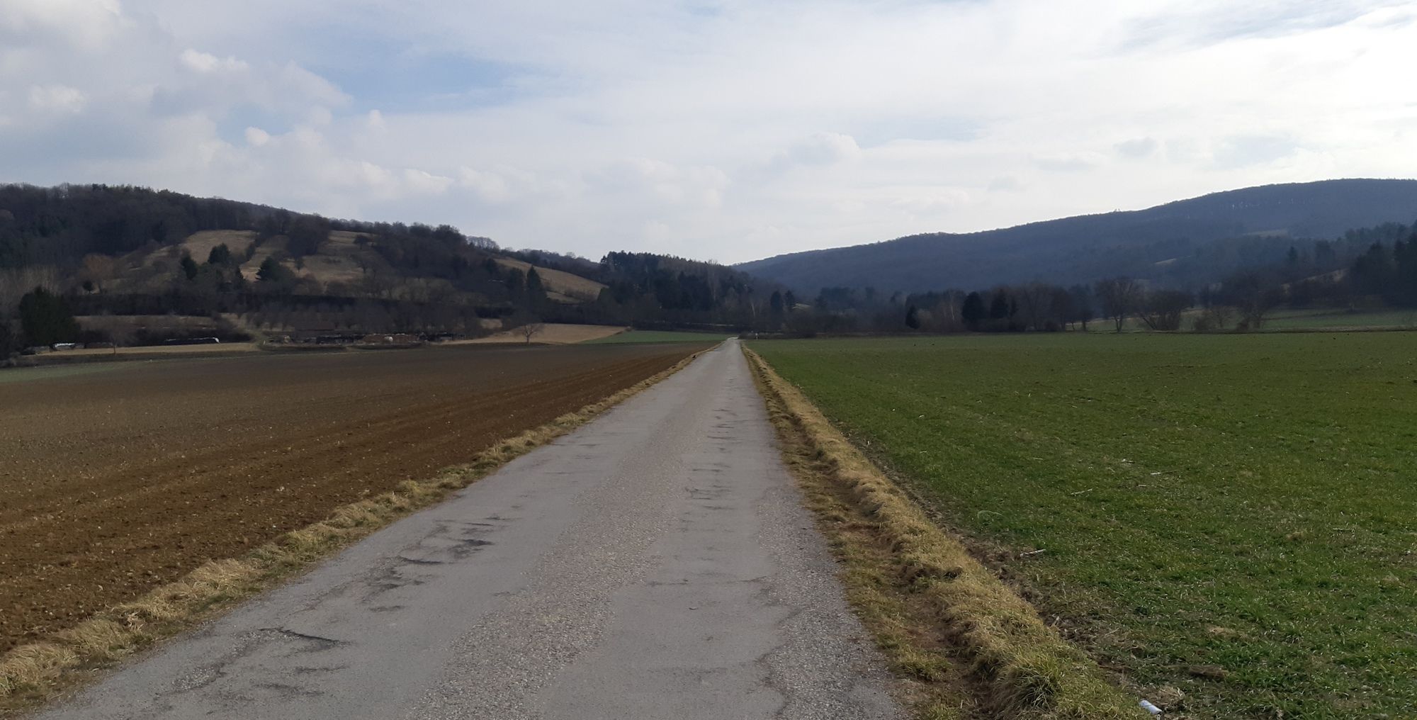
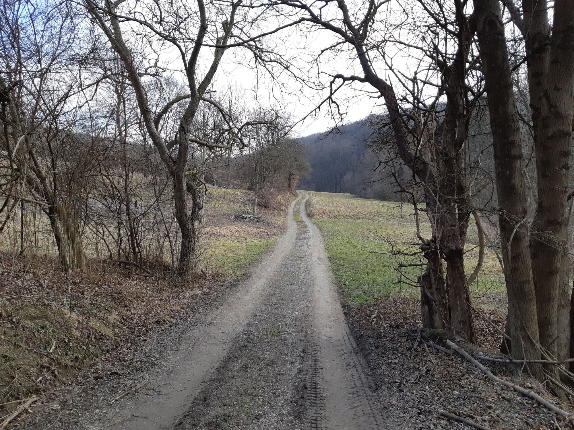
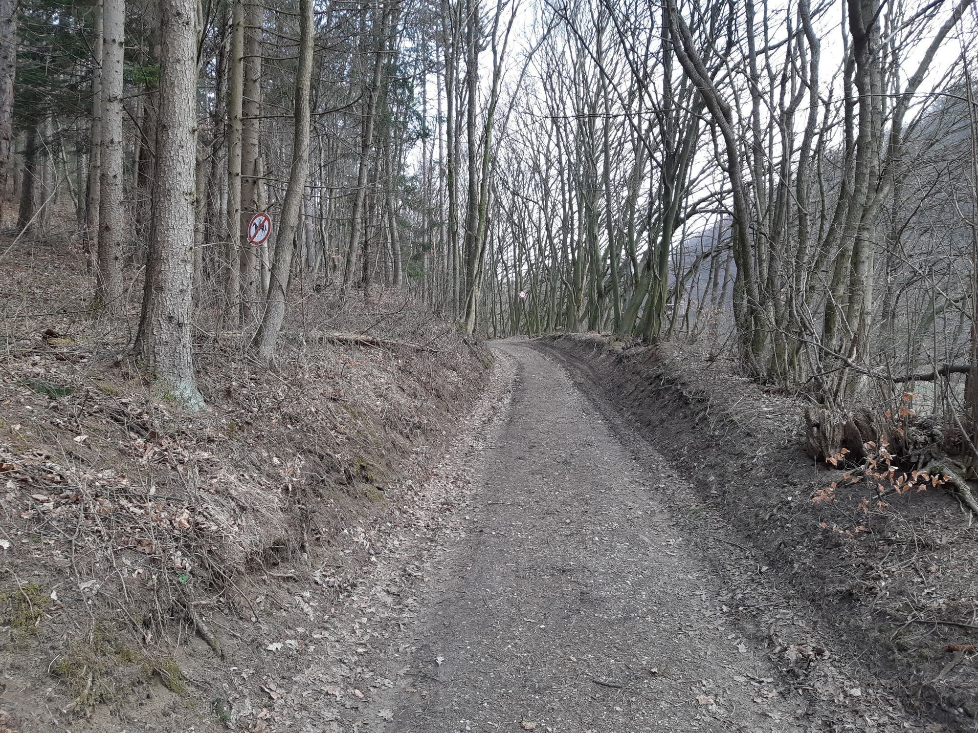
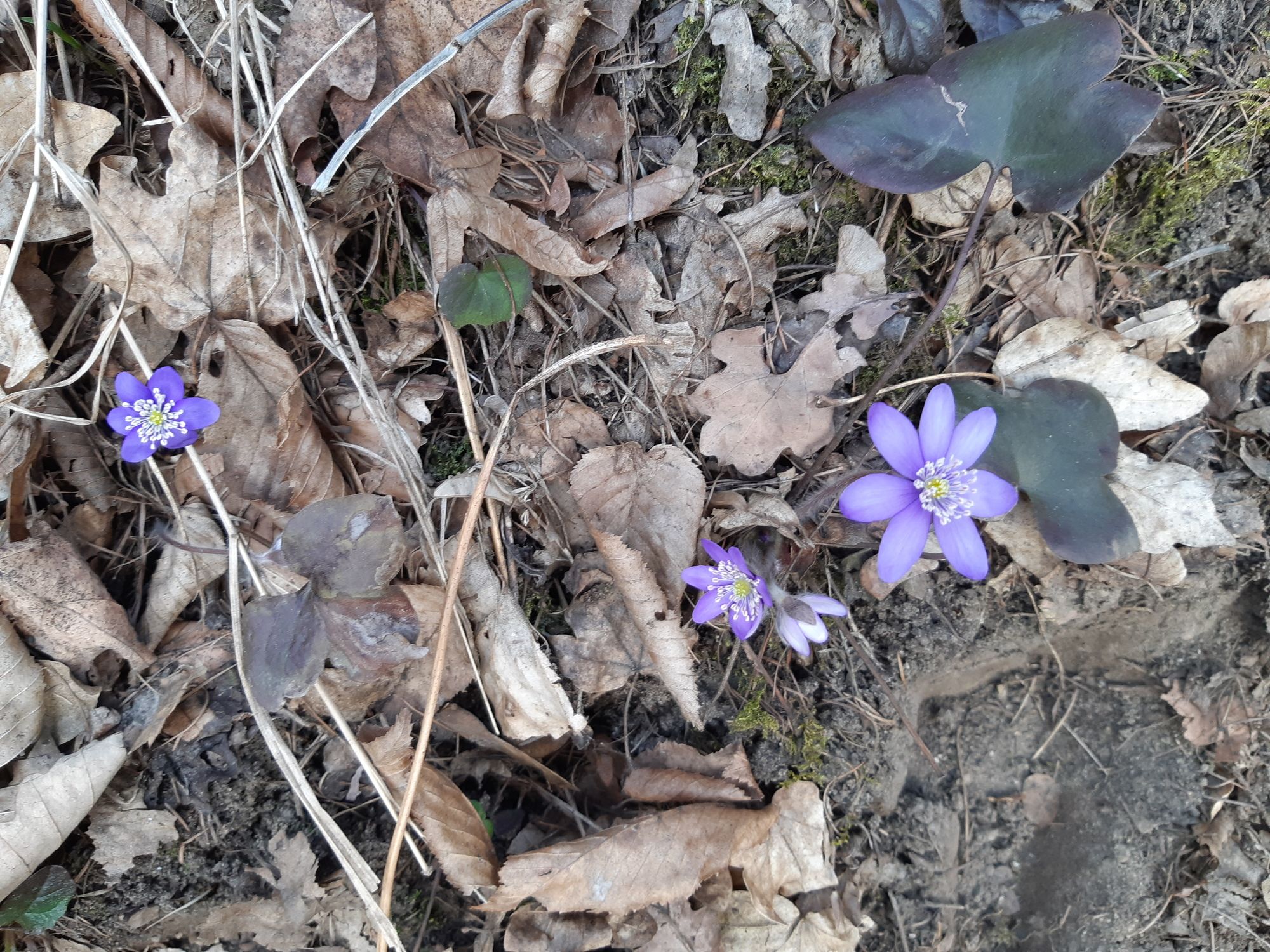
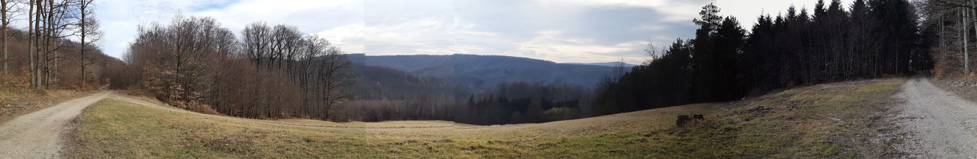
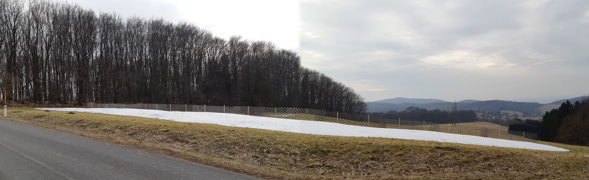
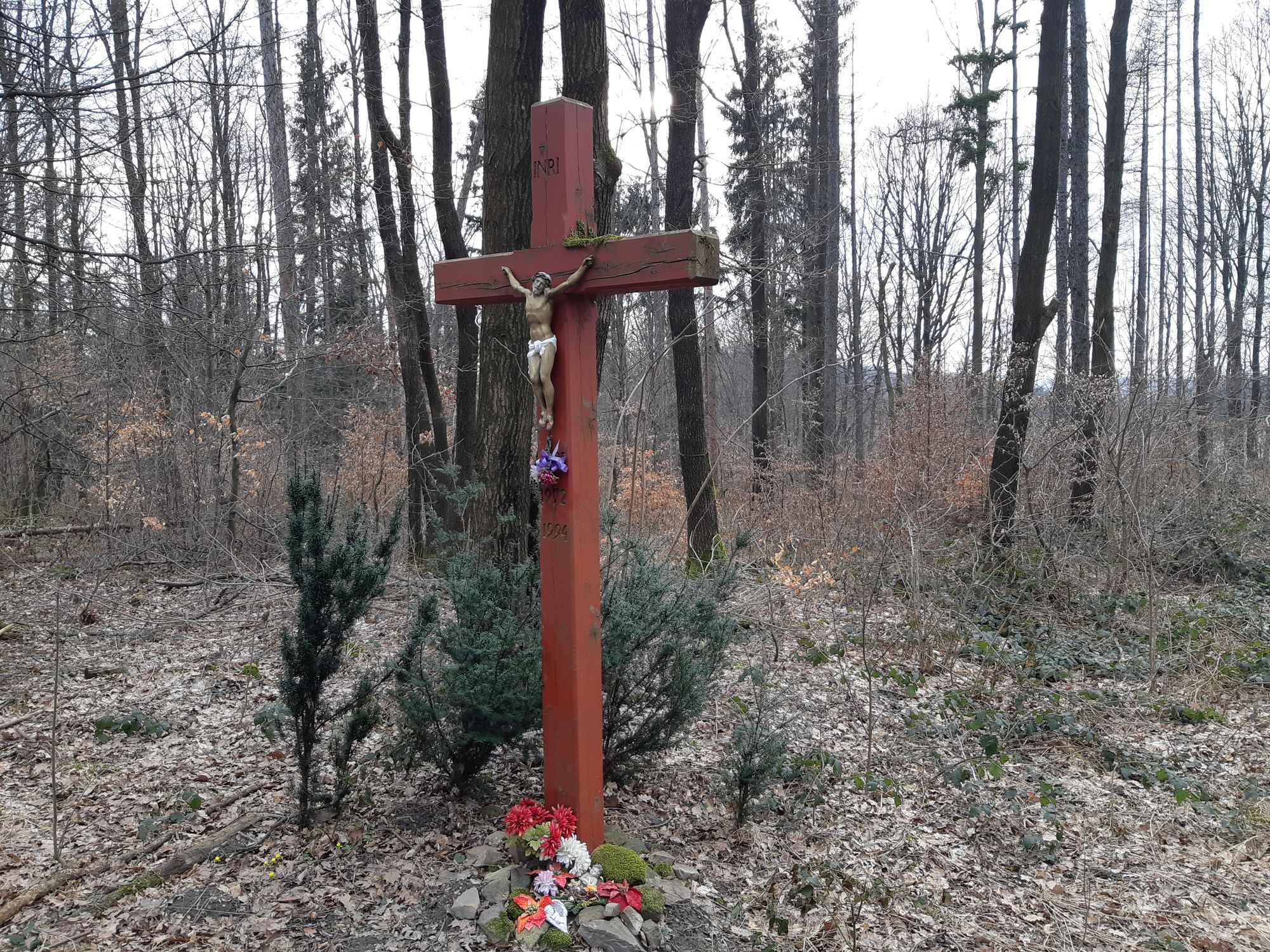
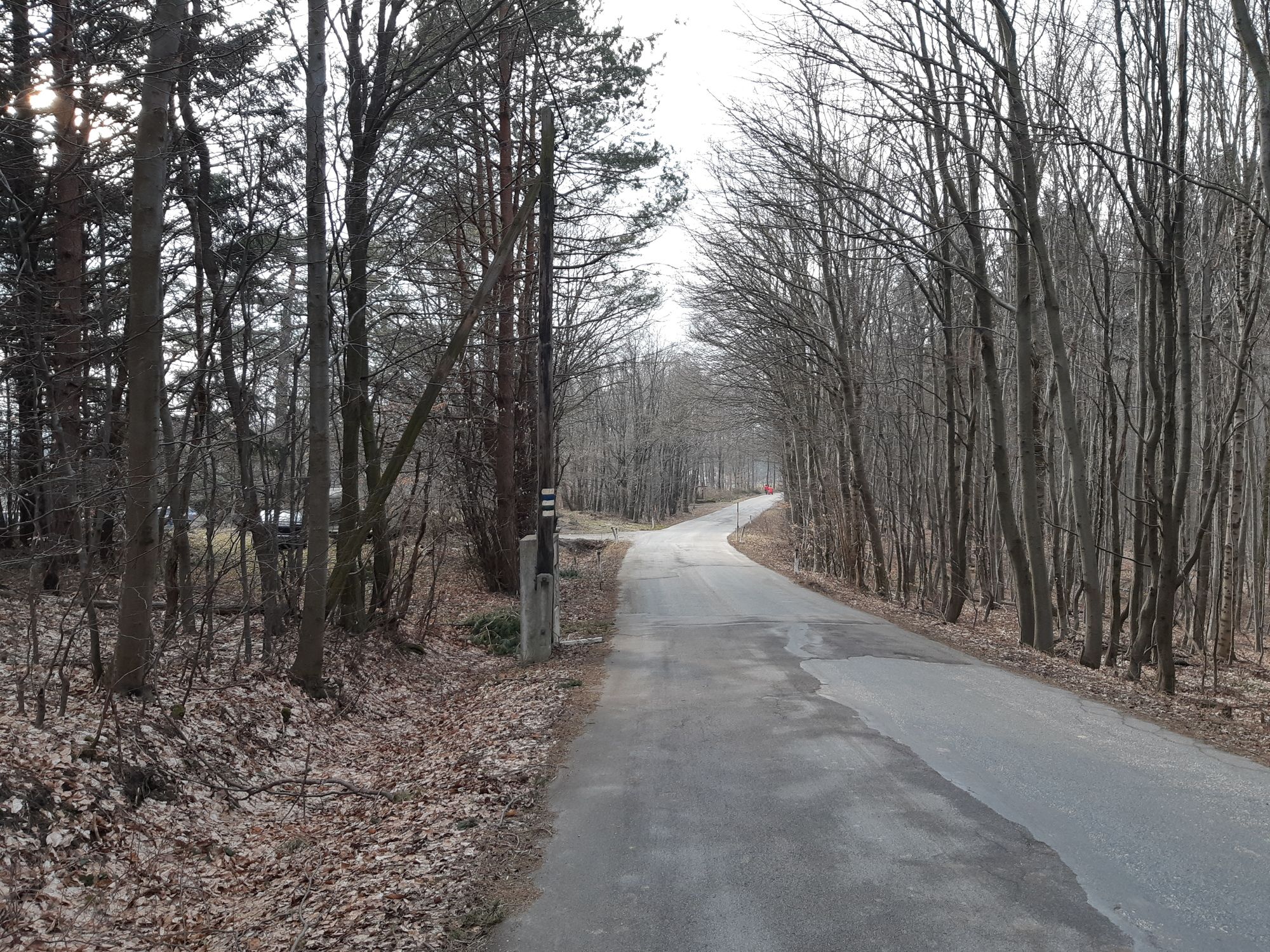
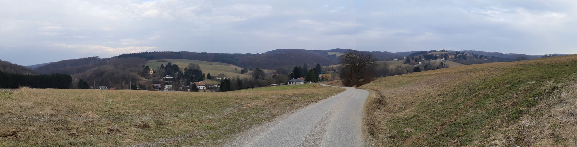
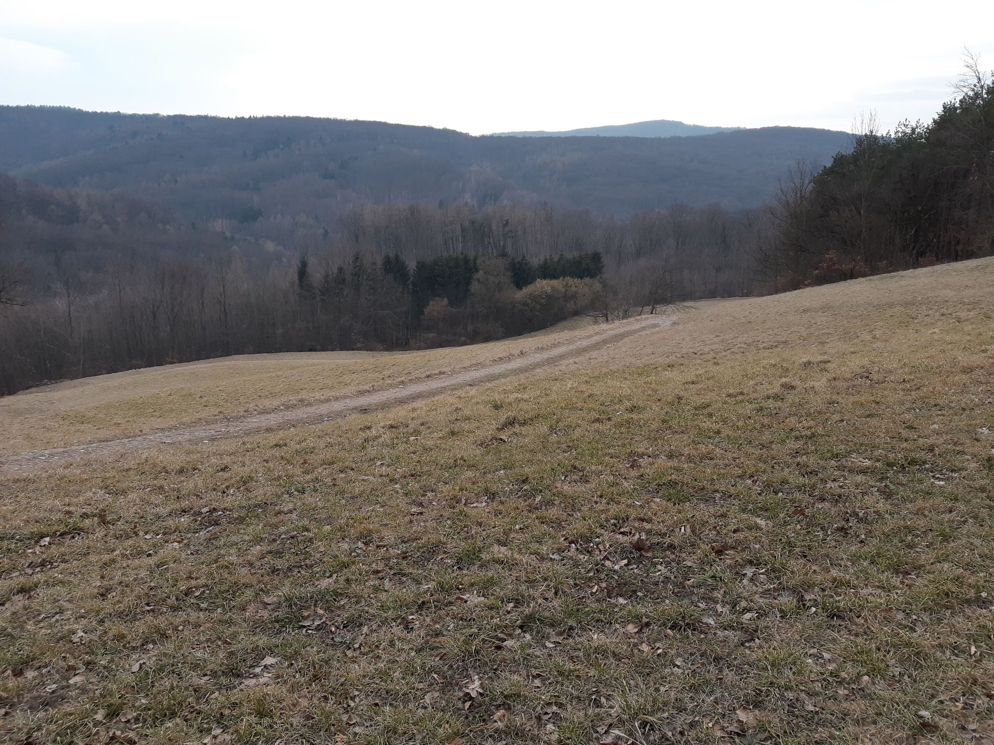
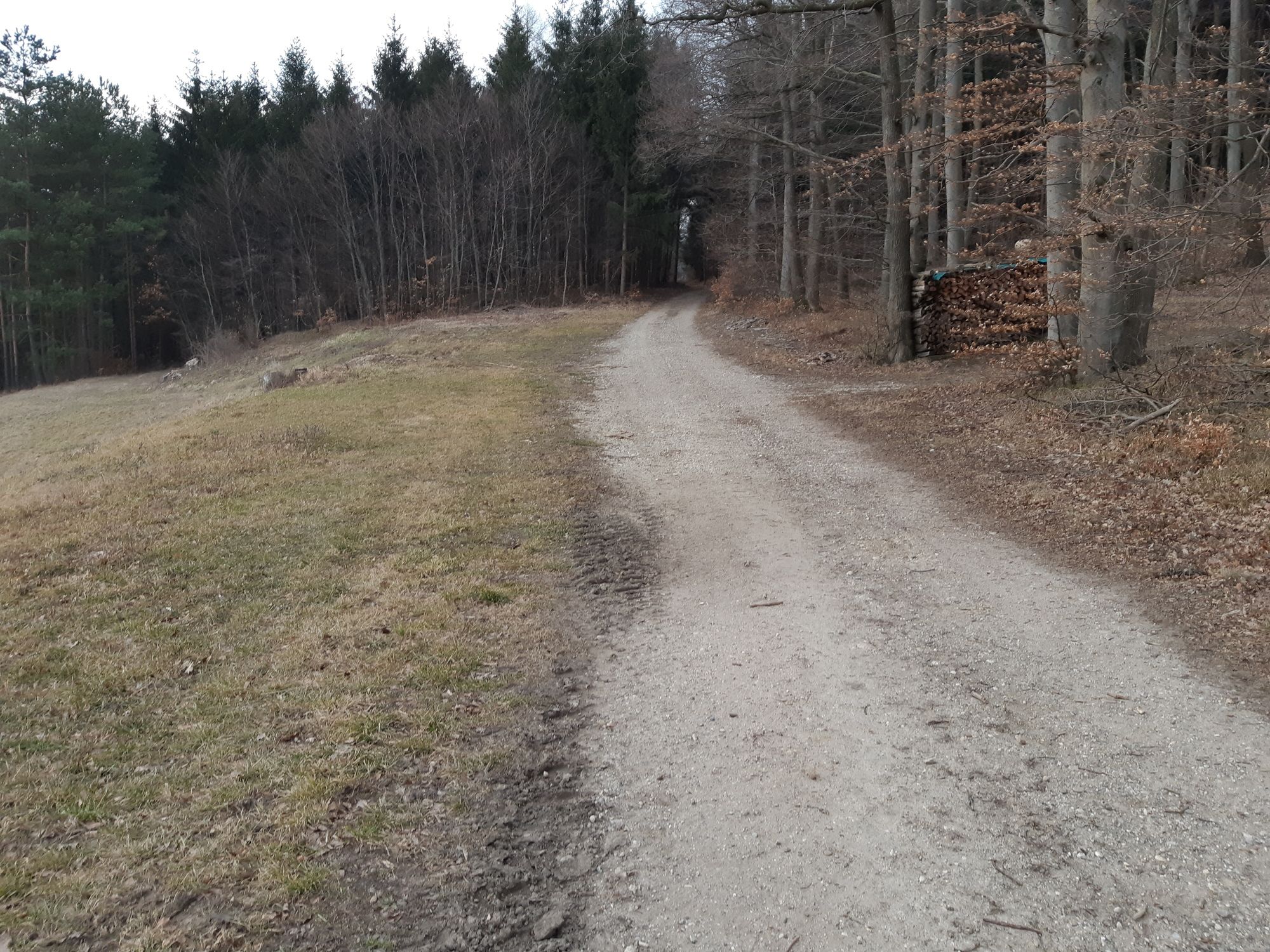
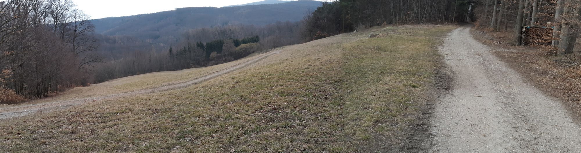
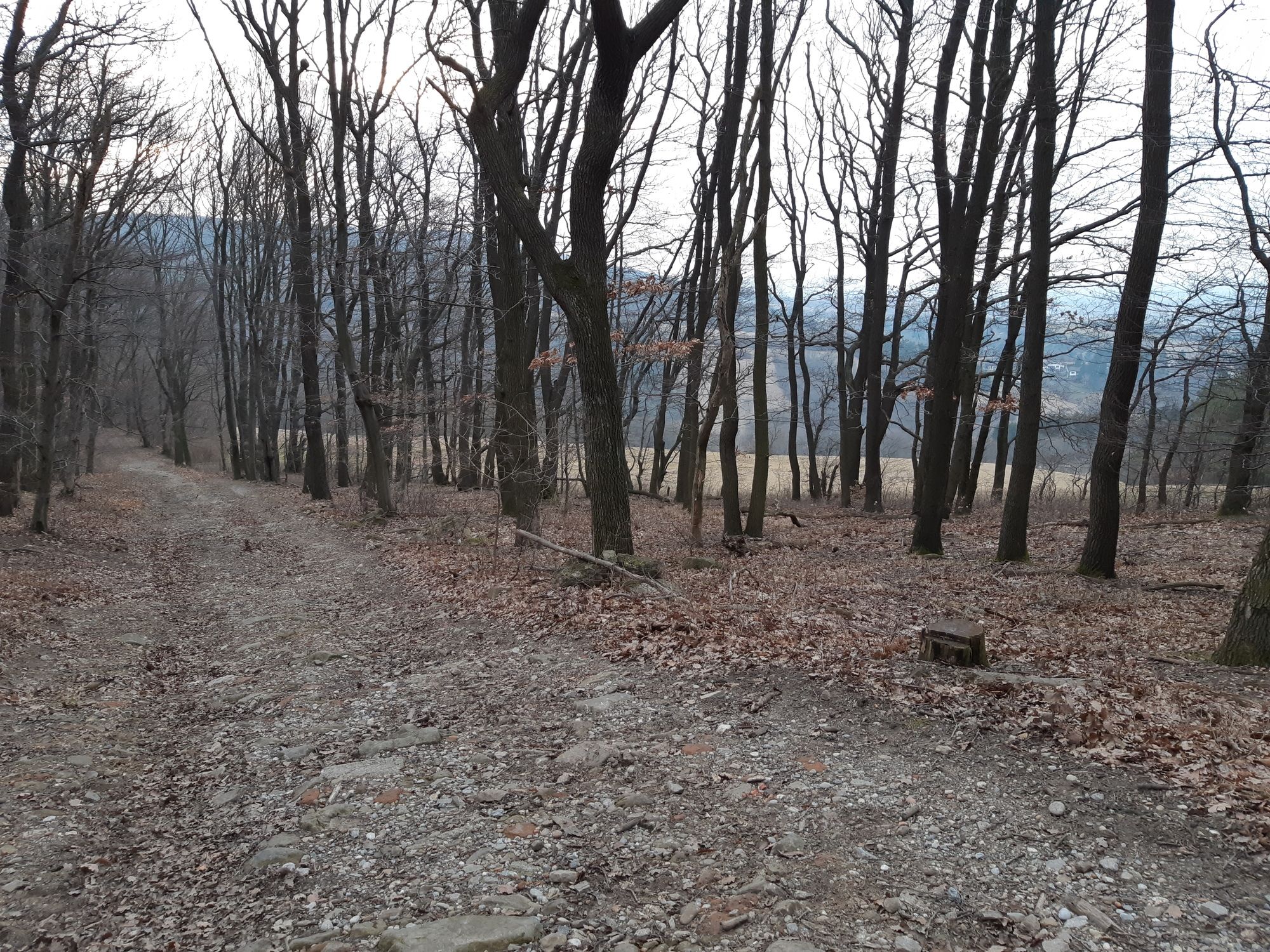
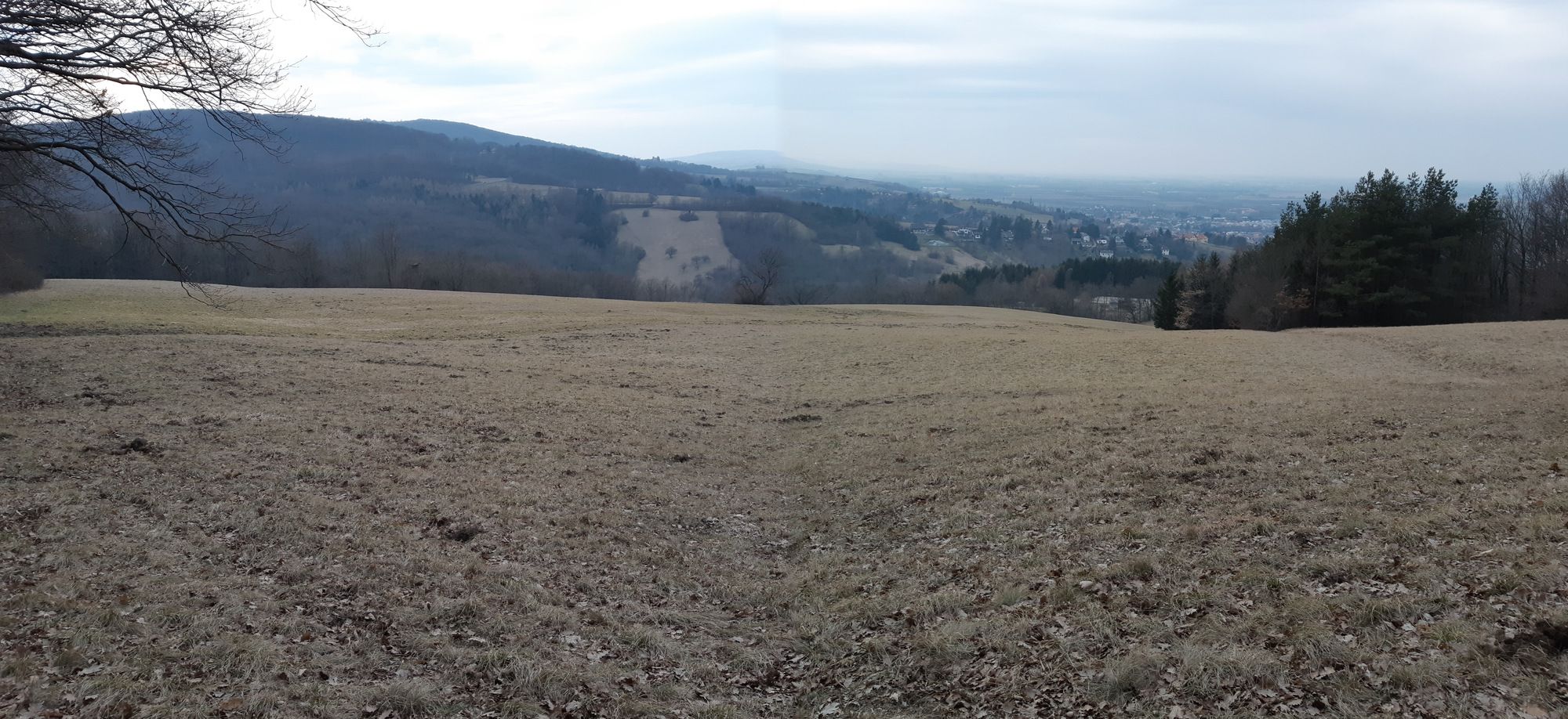
Wanderung im nördlichen Wienerwald
- Difficulty
-
easy
- Rating
-
- Starting point
-
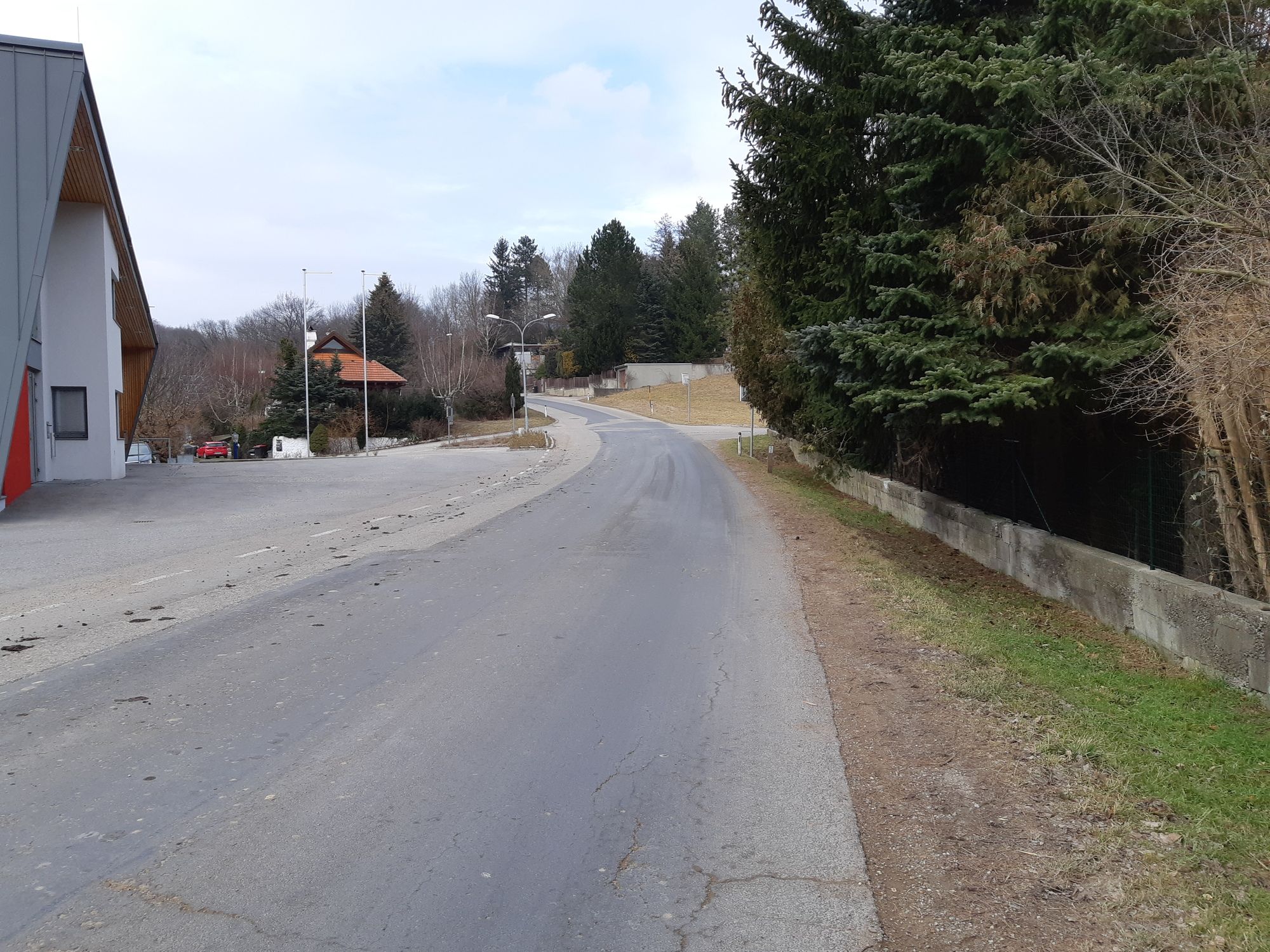
Vom parkenden Auto weg.
- Route
-
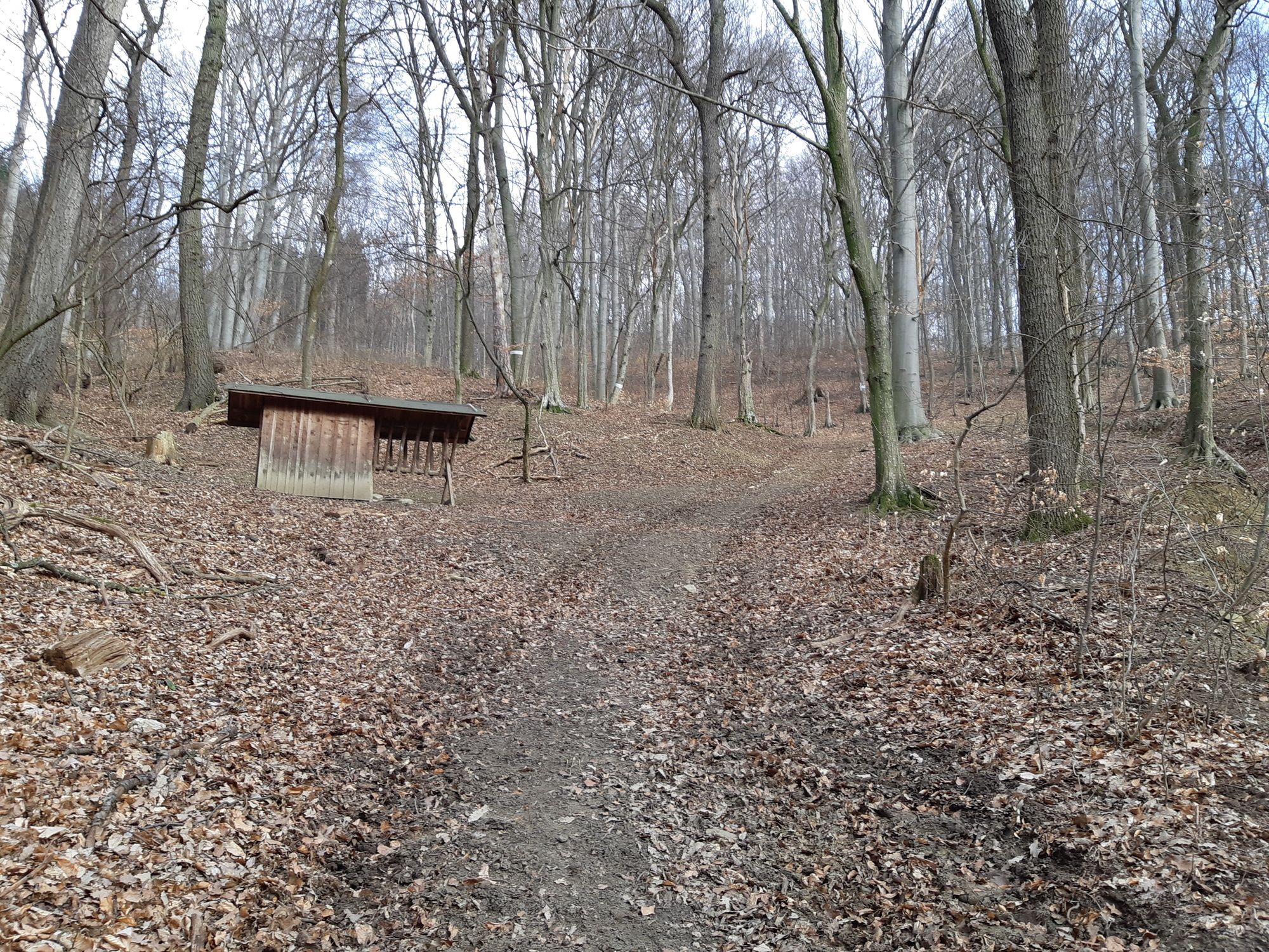
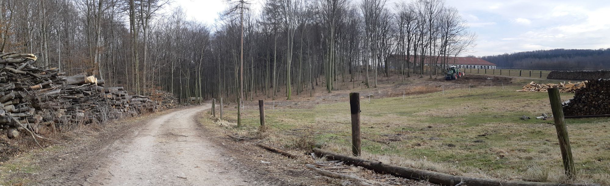
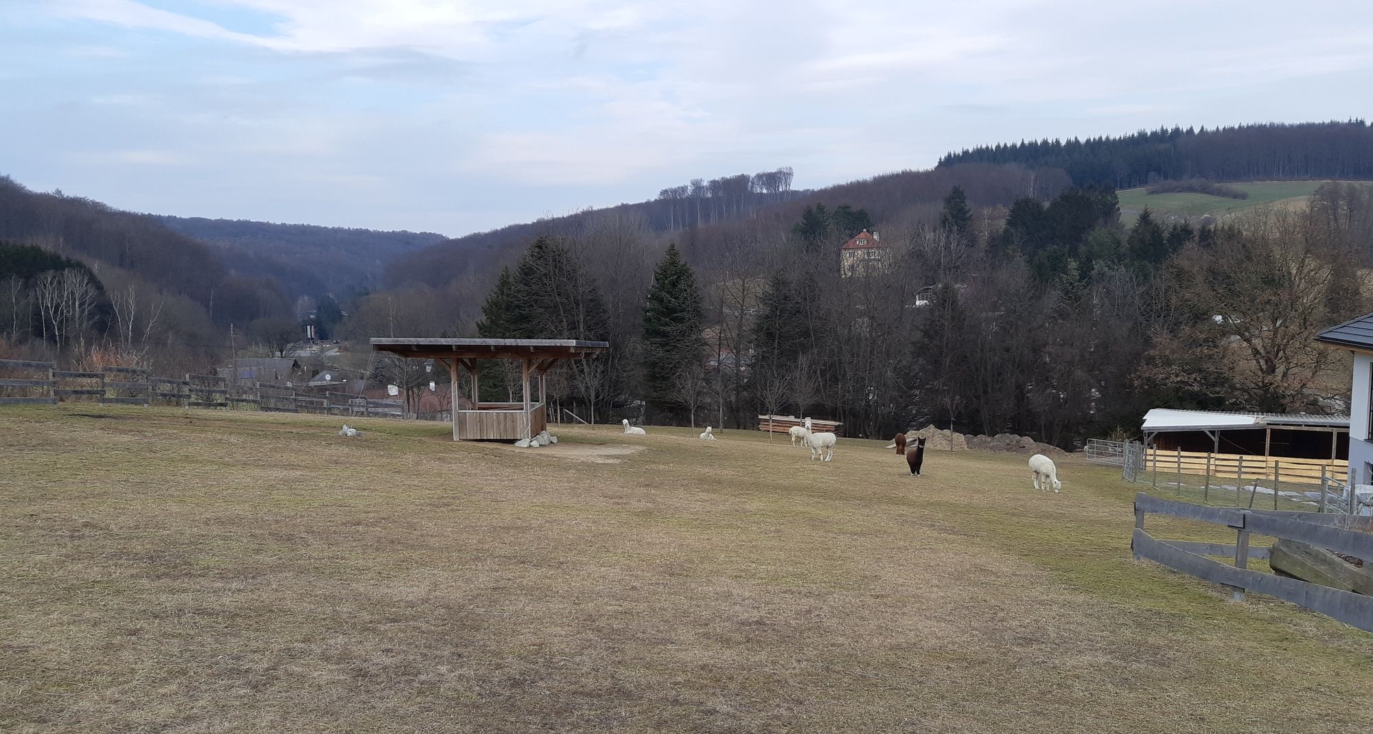
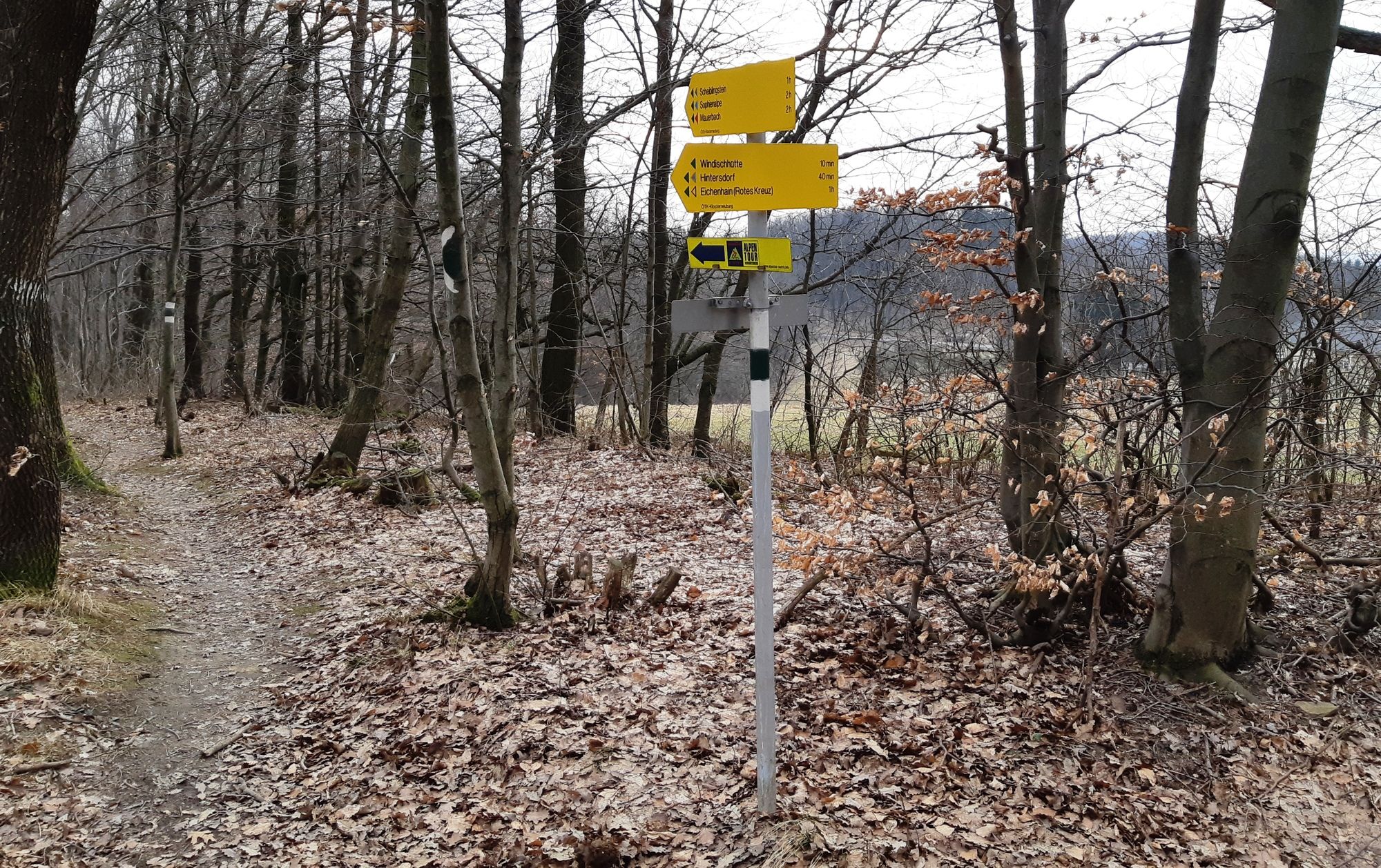
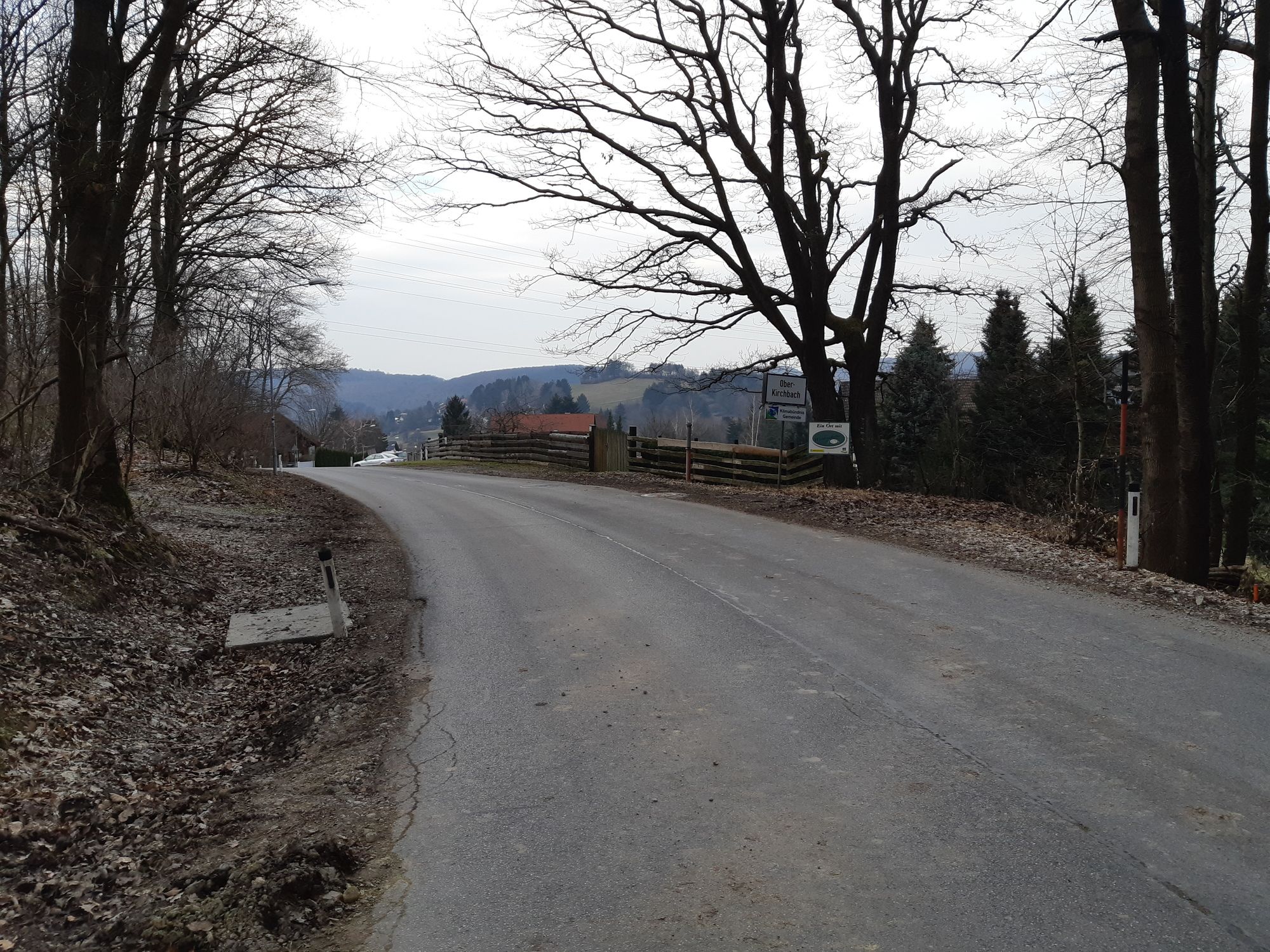
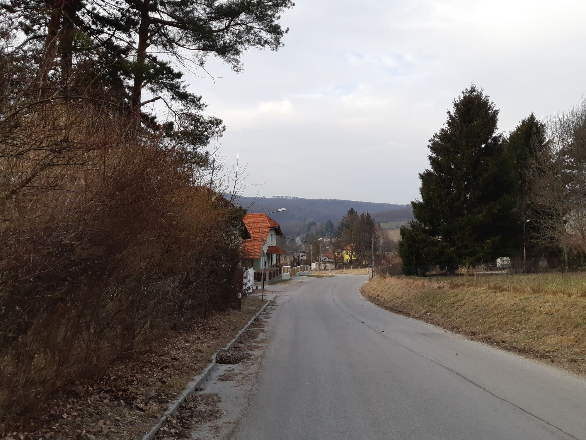
Unterkirchbach3.6 kmWindischhütte6.7 kmGasthaus Bonka8.8 kmUnterkirchbach9.9 kmGasthaus Hauser10.1 kmBannholz11.7 km
- Best season
-
JanFebMarAprMayJunJulAugSepOctNovDec
- Highest point
- Windischhütte (497 m)
- Endpoint
-
Windischhütte und wieder retour
- Rest/Retreat
-
Windischhütte members.aon.at/windischhuette/
- Ticket material
-
bergfex, amap, kompass, opentopomap


- Source
- Erich Helferstorfer
GPS Downloads


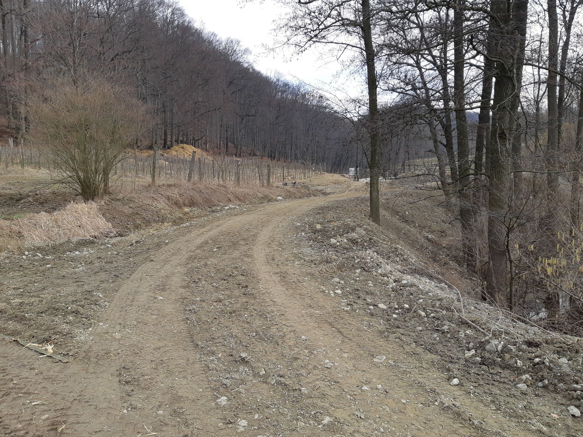
Trail conditions
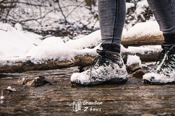
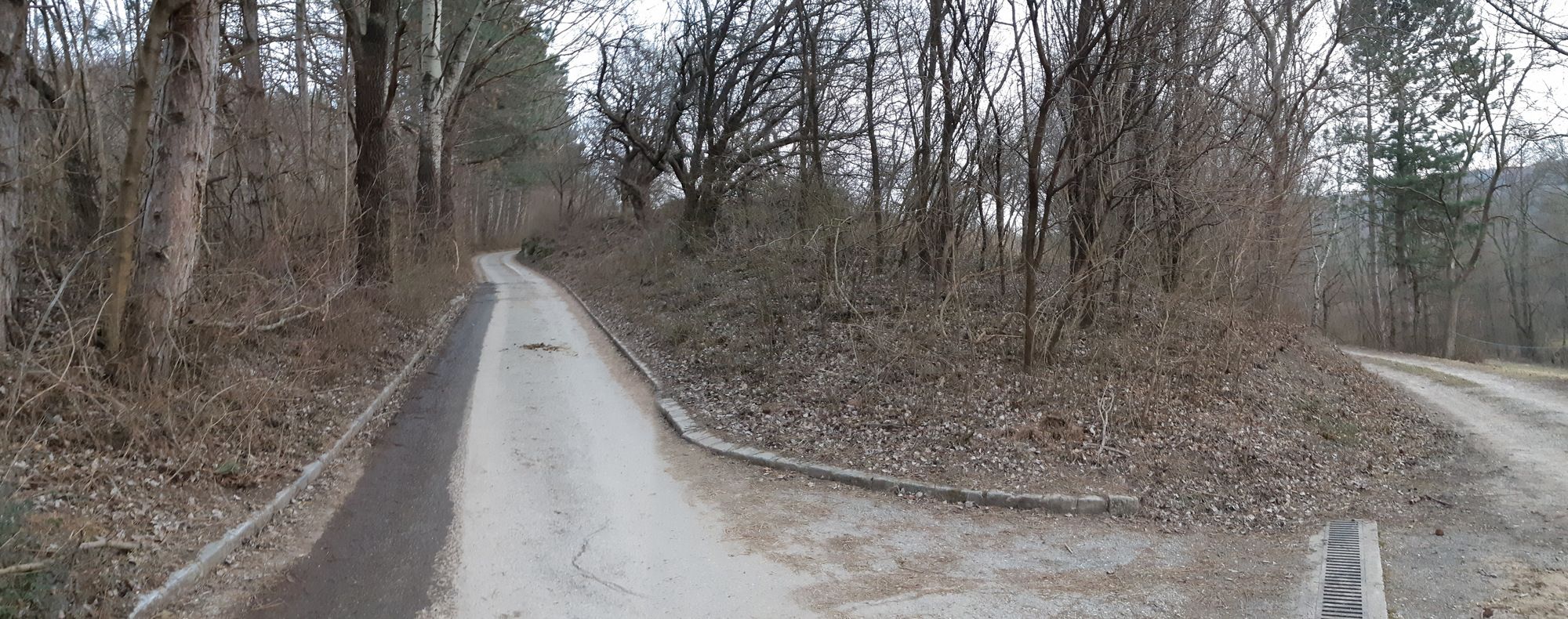
Asphalt
(35%)
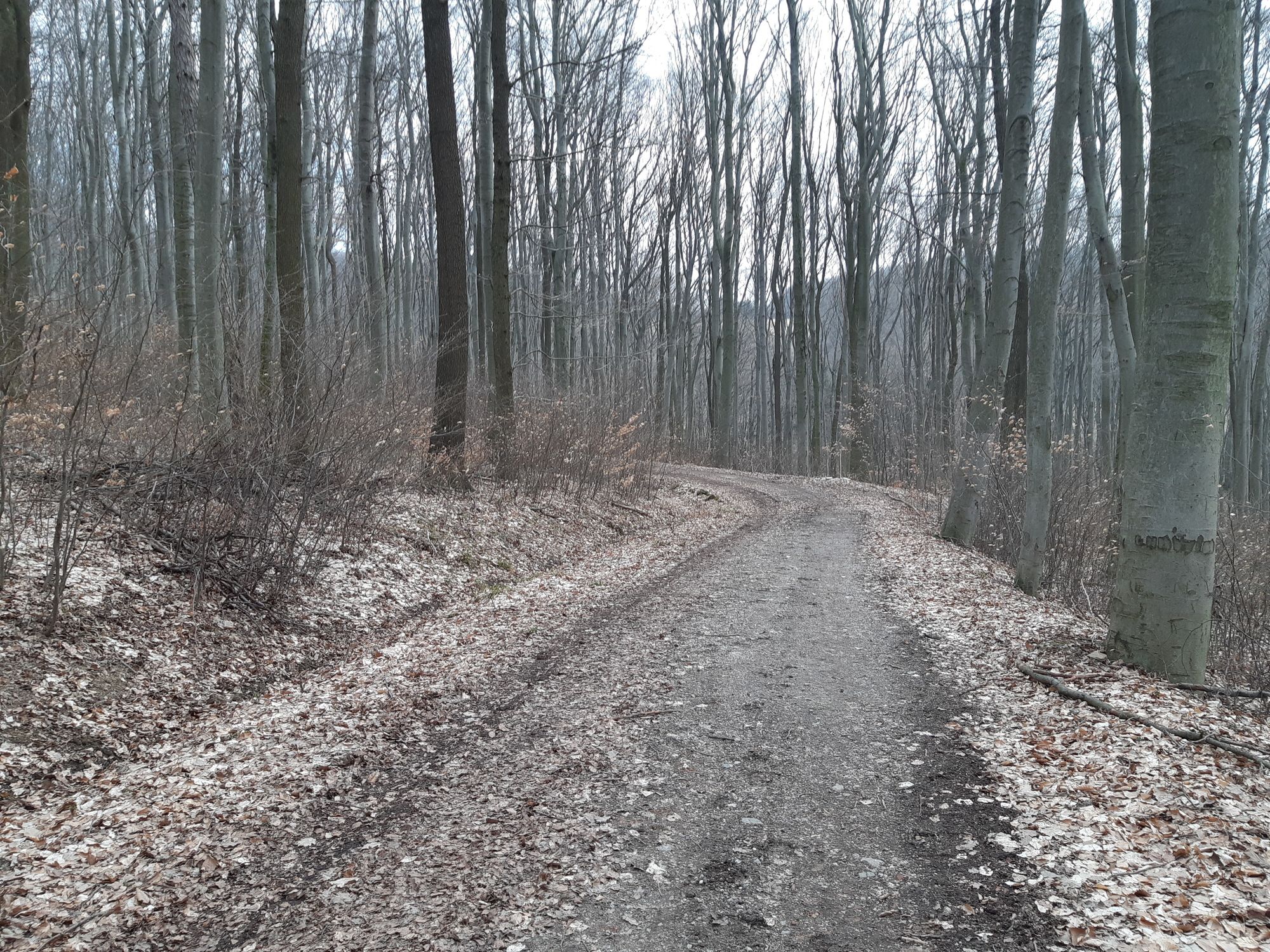
Gravel
(50%)
Meadow
(15%)
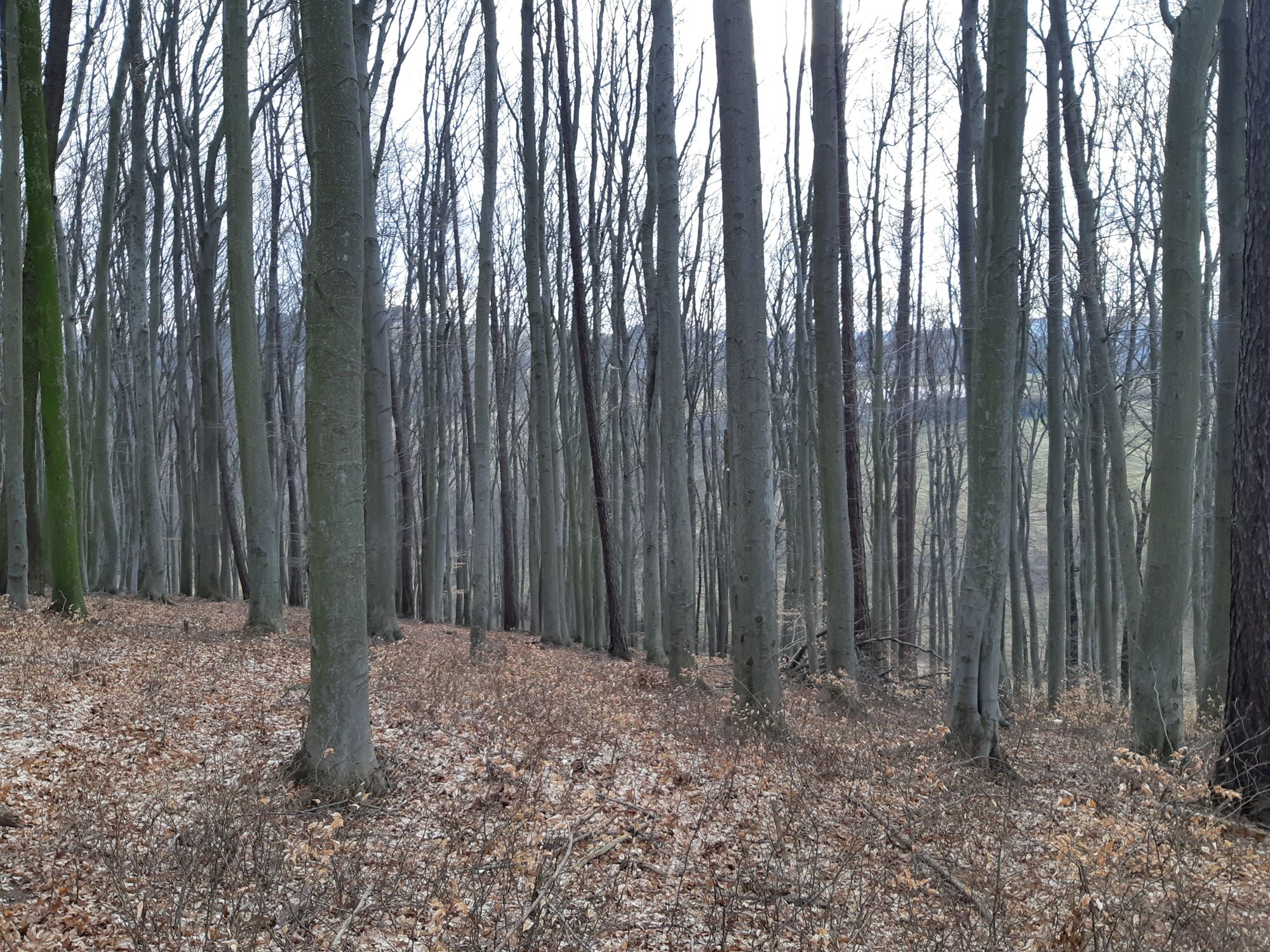
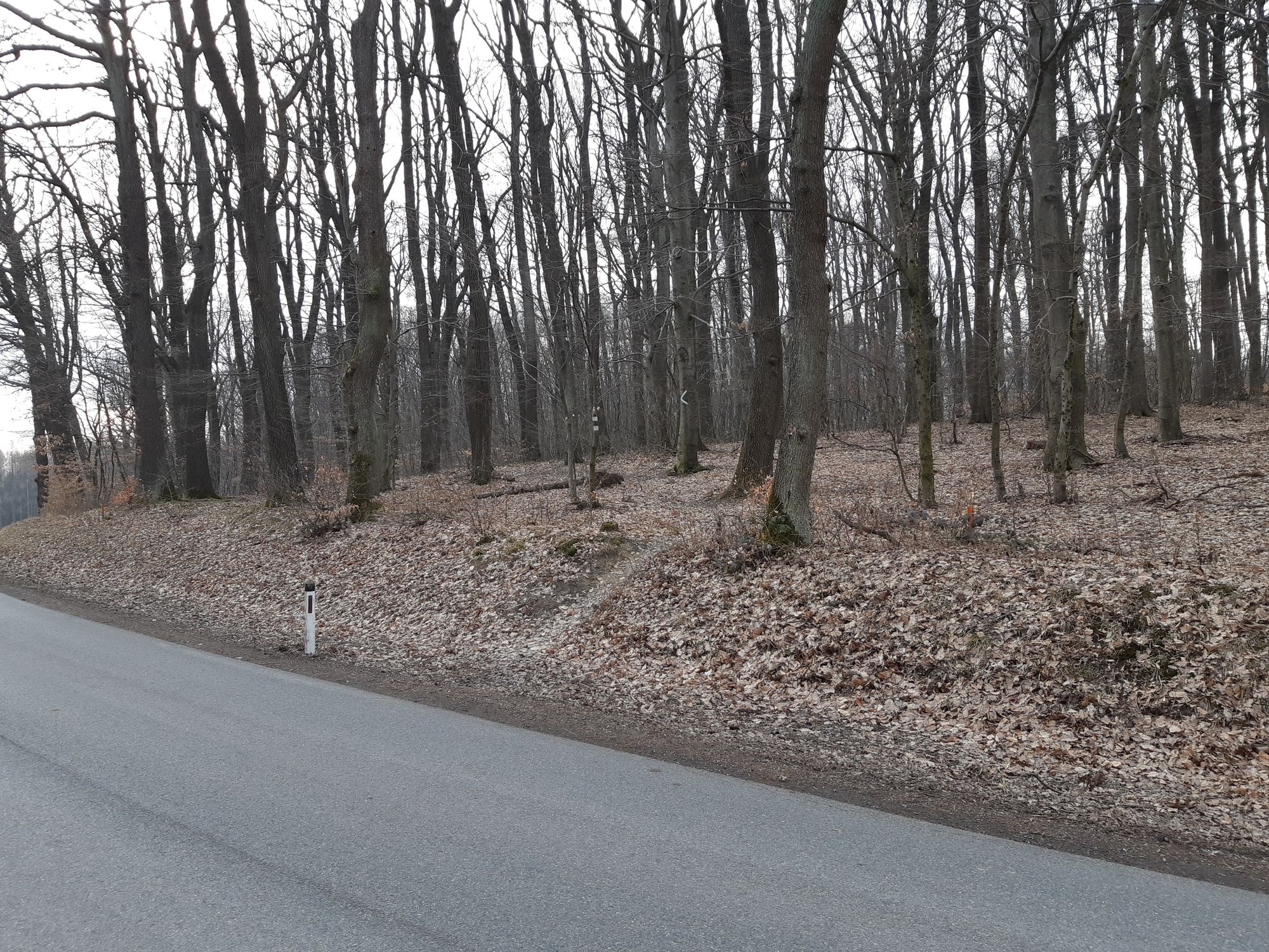
Forest
(50%)
Rock
Exposed
Other tours in the regions
-
Wienerwald
4224
-
Wien und Umgebung
2486
-
St. Andrä-Wördern
900