- Brief description
-
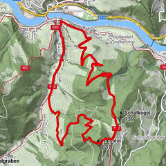
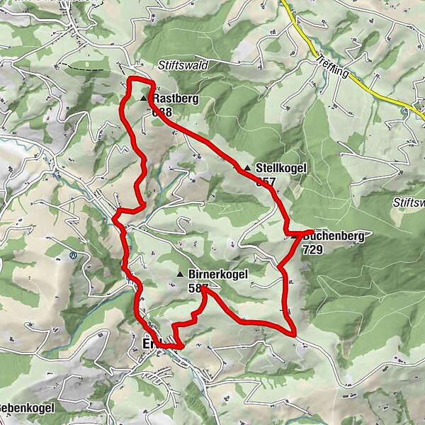
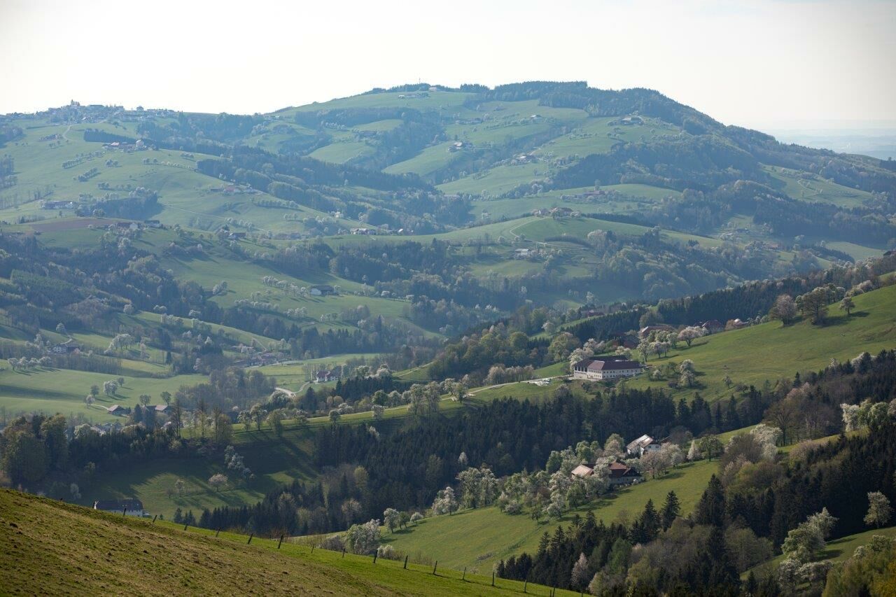
The 11.5 km long trail leads to the observatorium's view of the Alps' foothills, to the family Heuras' vineyard, to St. Michael/Bruckbach, to the vineyard Fehringer, and along the Urlbaches (river) back to Ertl
- Difficulty
-
easy
- Rating
-
- Starting point
-
Ortsplatz (city center) Ertl
- Route
-
Gasthaus Lohnecker0.2 kmPfarrkirche Ertl0.2 kmErtl0.3 kmLandgasthaus Wendtner1.9 kmRastberg (688 m)4.7 kmStellkogel (657 m)6.2 kmBuchenberg (729 m)7.2 kmVoralpenblick7.4 kmErtl11.2 km
- Best season
-
JanFebMarAprMayJunJulAugSepOctNovDec
- Description
-
In front of the kindergarten Ertl, you hike along the slightly ascending school road to the House Moor. The trail continues past a green field to the house Steinriegl and along the foothills of the Alpine road onto the ridge to the House Haaghof. Then the trail goes up to the intersection where the Wanderweg (trail) Windrad (No. 367) branches off.
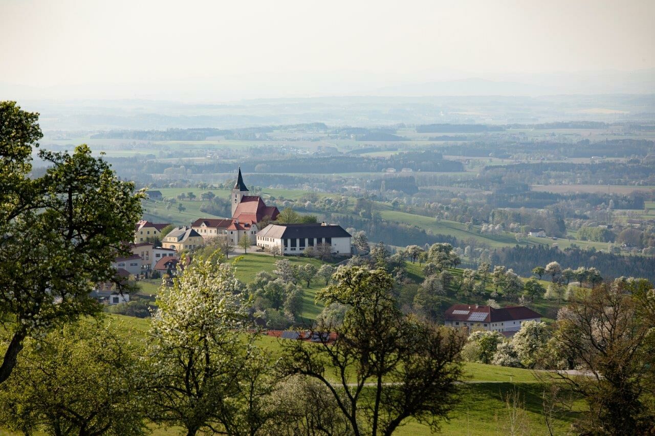
Continue hiking along the Voralpenstrasse (road) and pass the House Reiterhof. Follow the markings on the Buchenberg (mountain) to reach the Observatorium Voralpenblick and to the nearby Mostheurigen (cider farm) managed by the family Heuras. The Church of St. Michael/Bruckbach in front, the trail goes downhill again towards House Hinterberg, passing on the cider heurigen (inn) Fehringer. The last ascent continues to the Rastberg (mountain) and to the Hubertuskapelle (chapel). Past meadow paths the trail leads to the House Eislehen on the local road Anthof into the Valley to the pedestrian and cycle path along the Urlbaches (river). Continue past the Gasthaus (inn) Wendtner and the Sports Centre back to the starting point.
- Directions
-
In front of the kindergarten Ertl, you hike along the slightly ascending school road to the House Moor. The trail continues past a green field to the house Steinriegl and along the foothills of the Alps road onto the ridge to the House Haaghof. Then the trail goes up to the intersection where the Wanderweg (trail) Windrad (No. 367) branches off.
Continue marching along the Voralpenstrasse (road) and pass the House Reiterhof. Follow the markings on the Buchenberg (mountain) to reach the Observatorium Voralpenblick and to the nearby Mostheurigen (cider farm) managed by the family Heuras. The Church of St. Michael/Bruckbach in front, the trail goes downhill again towards House Hinterberg, passing on the cider heurigen (inn) Fehringer. The last increase continues to the Rastberg (mountain) and to the Hubertuskapelle (chapel). Past meadow paths the trail leads to the House Eislehen on the local road Anthof into the Valley to the pedestrian and cycle way along the Urlbaches (river). Continue past the Gasthaus (inn) Wendtner and the Sports Centre back to the starting point.
- Highest point
- 718 m
- Endpoint
-
Ortsplatz Ertl
- Height profile
-

- Equipment
-
Comfortable Shoes
- Tips
-
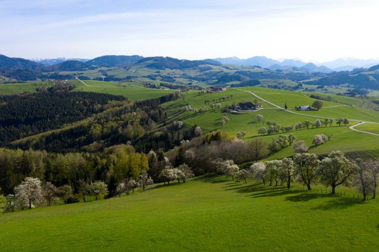
At the Heuriger (vineyards) Heuras and Fehringer, you can strengthen yourself during the tour. The observatorium Voralpenblick gives a beautiful view over the Mostviertler Alpine foreland.
- Arrival
-
Coming from Vienna: Autobahn (highway) A1 exit Oed, Following signs to Wolfsbach,
Coming from Salzburg / Linz: Autobahn (highway) A1 exit Stadt Haag, turn right direction Stadt Haag, take the next left direction St.Peter/Au and follow the signs to Ertl
- Public transportation
-
With the Westbahn trains to Seitenstetten - St. Peter/Au after which take the bus to Ertl
- Parking
-
Parking places are provided

- Author
-
The tour Wanderweg Voralpenblick is used by outdooractive.com provided.


General info
-
Traunviertel
1964
-
Moststraße
792
-
Ertl
276