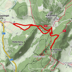

Tour data
9.5km
475
- 703m
407hm
418hm
02:09h

- Difficulty
-
medium
- Rating
-
- Best season
-
JanFebMarAprMayJunJulAugSepOctNovDec
- Highest point
- 703 m


GPS Downloads


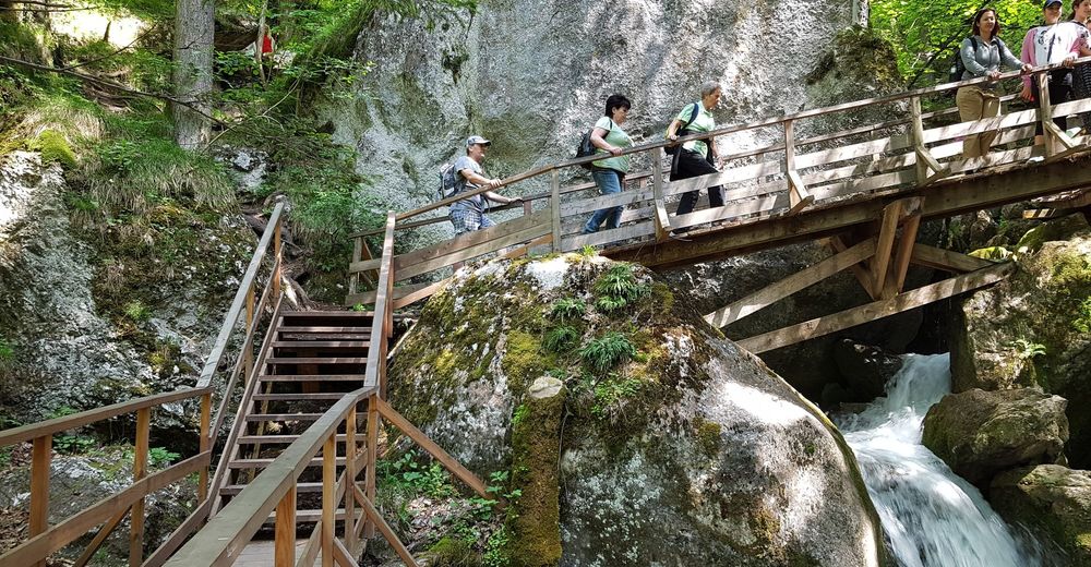
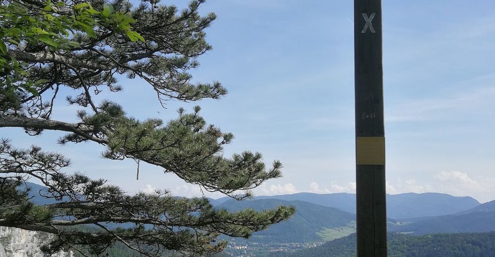
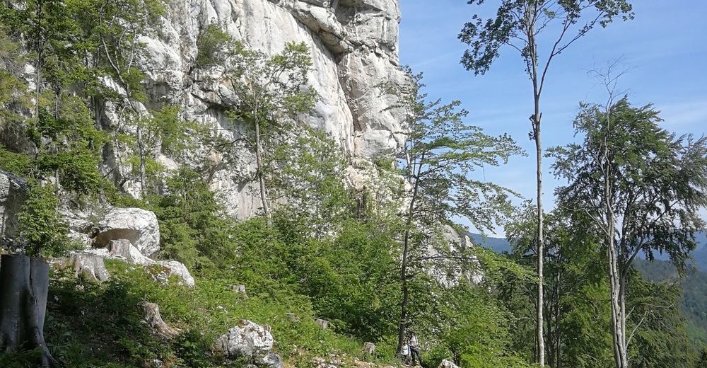
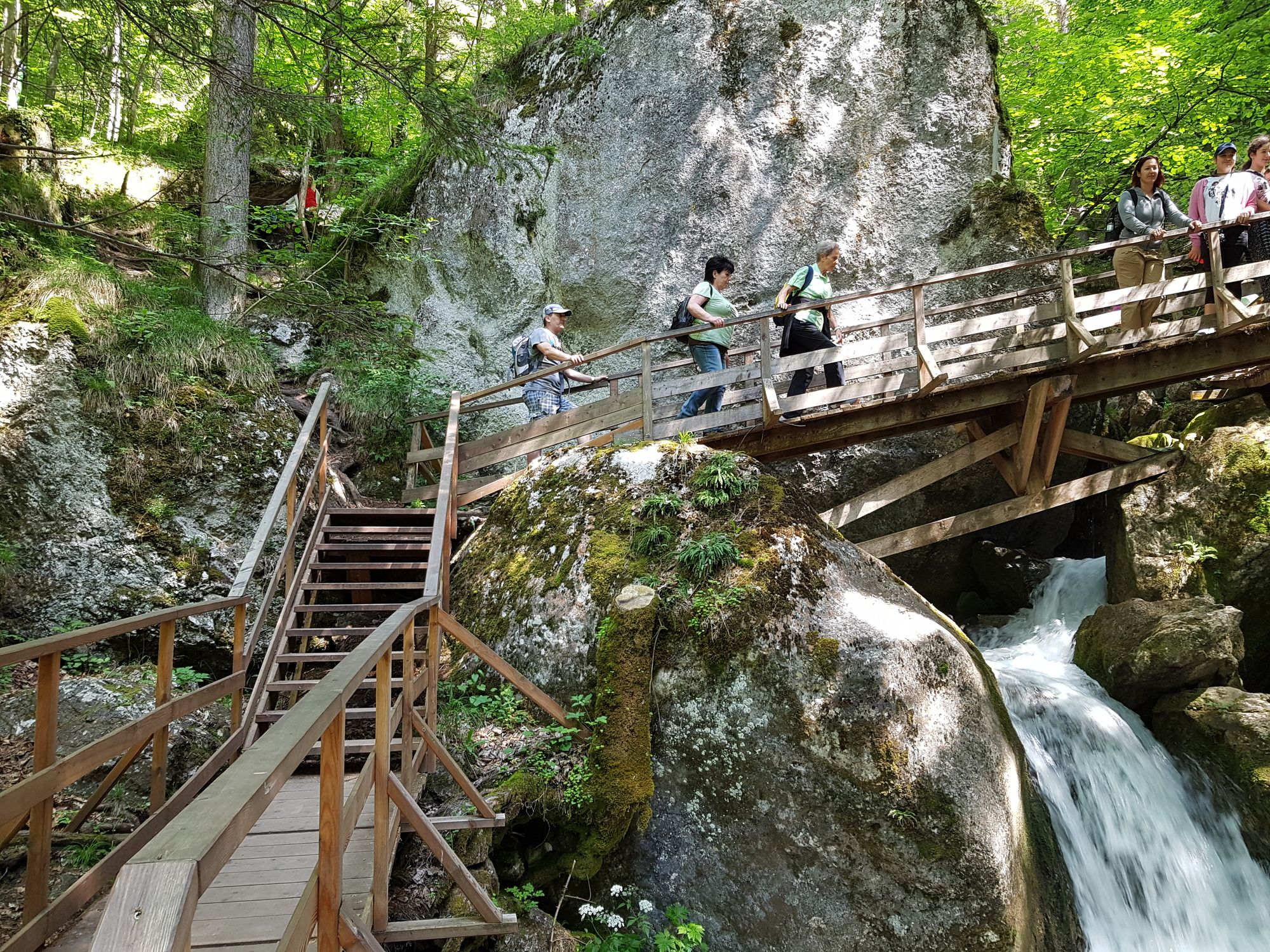
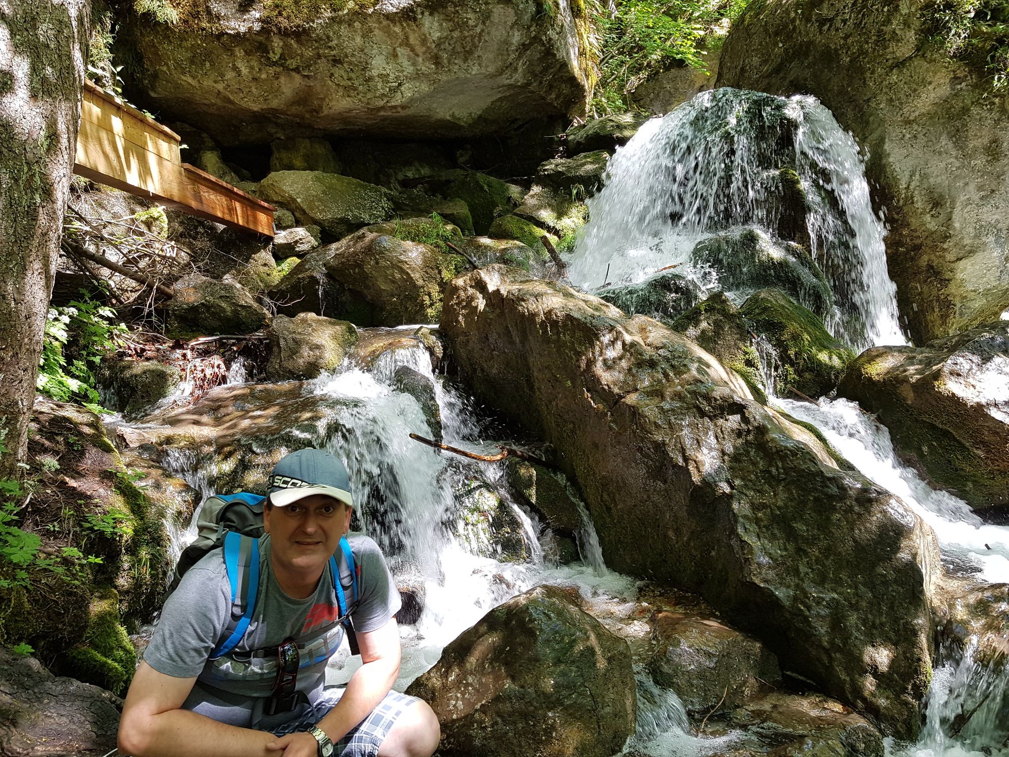
Trail conditions
Asphalt
Gravel
Meadow
Forest
Rock
Exposed
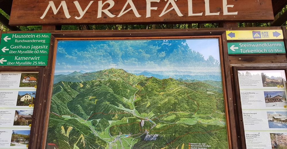
Other tours in the regions
-
Wienerwald
4206
-
Schneebergland - Wiener Alpen
2450
-
Muggendorf / Thal
708