- Brief description
-
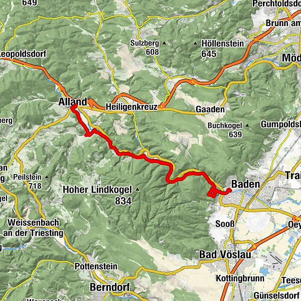
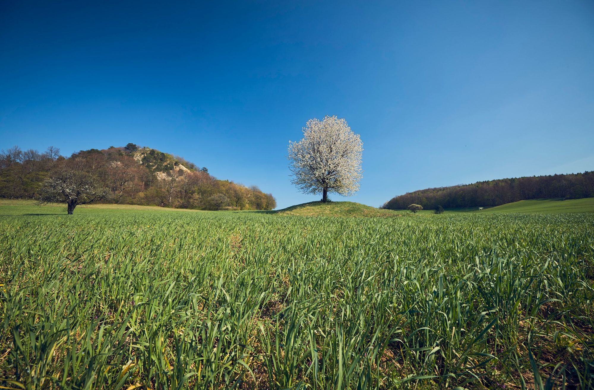
The first stage of the Helenental cultural hiking trail leads from the beautiful spiritual town of Baden, and through the beautiful Helenental to Alland.
- Difficulty
-
medium
- Rating
-
- Starting point
-
Stop Baden bei Wien Strandbad
- Route
-
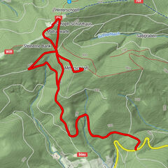
BadenKönigshöhle (370 m)2.2 kmKarlshöhle2.2 kmHauswiese3.4 kmDrudenwandhöhle4.0 kmAugustinerhütte8.6 kmSiedlung Krainerhütte8.7 kmSchwechatbach12.9 kmMayerling14.8 kmAlfonso18.1 kmAlland18.1 kmJohannes Nepomuk-Kapelle18.2 kmBuchenfink's Landgasthaus18.3 km
- Best season
-
JanFebMarAprMayJunJulAugSepOctNovDec
- Description
-
Tip/Fun-Fact: The waterway connects two of the largest conservation zones in the area surrounding Vienna. The Schwechat, the largest river in the BPWW, feeds into the Danube, which also flows through the Danube Wetlands National Park.
- Directions
-
Starting from the thermal baths in Baden (point 40), the first mountain stage lies straight ahead, and leads to the ruins of the 12th century Rauheneck Castle. After heading south for approx. 350 m, we will leave Hiking Route No. 40 by turning right. Shortly afterwards, we will pass the impressive and archaeologically interesting “Königshöhle” (King's Cave), before turning onto the WWW 04 route, which will take us back down to Helenental. The next, almost flat route (green, No.40) along the Schwechat will lead us upstream, past the Cholerakapelle restaurant and the Krainerhütte inn, to Sattelbach. From here, we will follow the red route to Mayerling, where we will turn left onto the Via Sacra (01, 04) and turn right after approx. 500 m onto a meadow path, to reach Alland. Information boards about the life of Crown Prince Rudolf can be found all along the route.
- Highest point
- 361 m
- Endpoint
-
Stop Alland Hautplatz (Mitte)
- Height profile
-

- Equipment
-
sturdy shoes, water, rain protection
- Tips
-
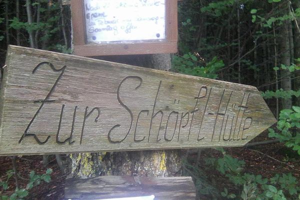
Rest points Krainerhütte Landgasthof zur Cholerakapelle Kuschelhotel Zeman Gasthof zum Alten Jagdschloss Gasthof Gabriele Martinek Augustiner Hütte
Updated on: 05.11.2020
- Public transportation
-
Arrival with public transport
Start point: by bus to the stop "Baden bei Wien Strandbad"
End point: by bus to the stop "Alland Hauptplatz (mitte)"
- Parking
-
Parking Strandbad
Parking Hauptstraße 51

- Author
-
The tour Helenental Cultural Hiking Route – Stage 1 is used by outdooractive.com provided.


General info
-
Wienerwald
4219
-
Wien und Umgebung
2481
-
Heiligenkreuz
1033