- Brief description
-
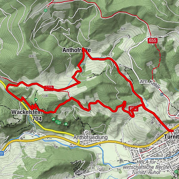
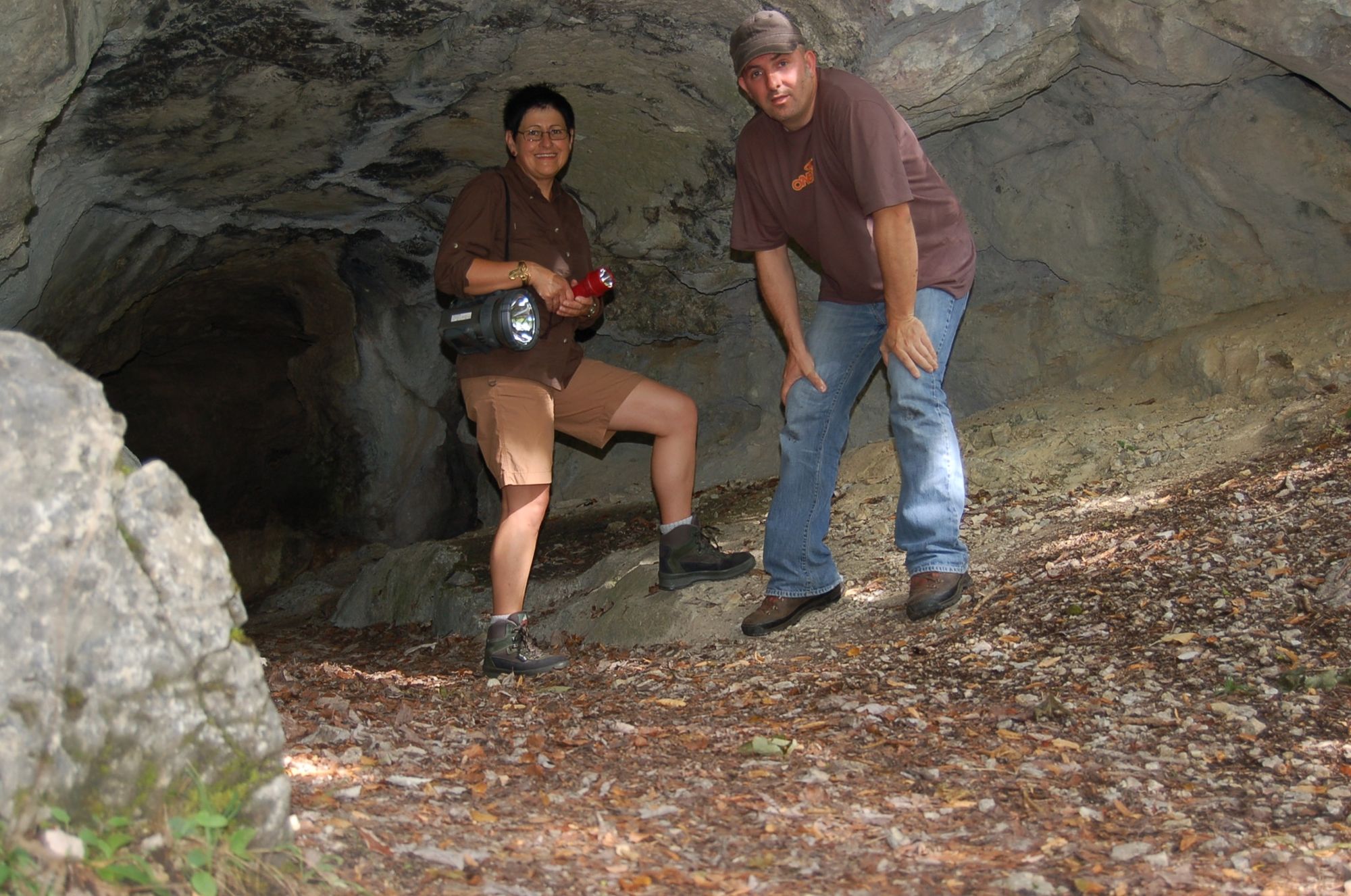
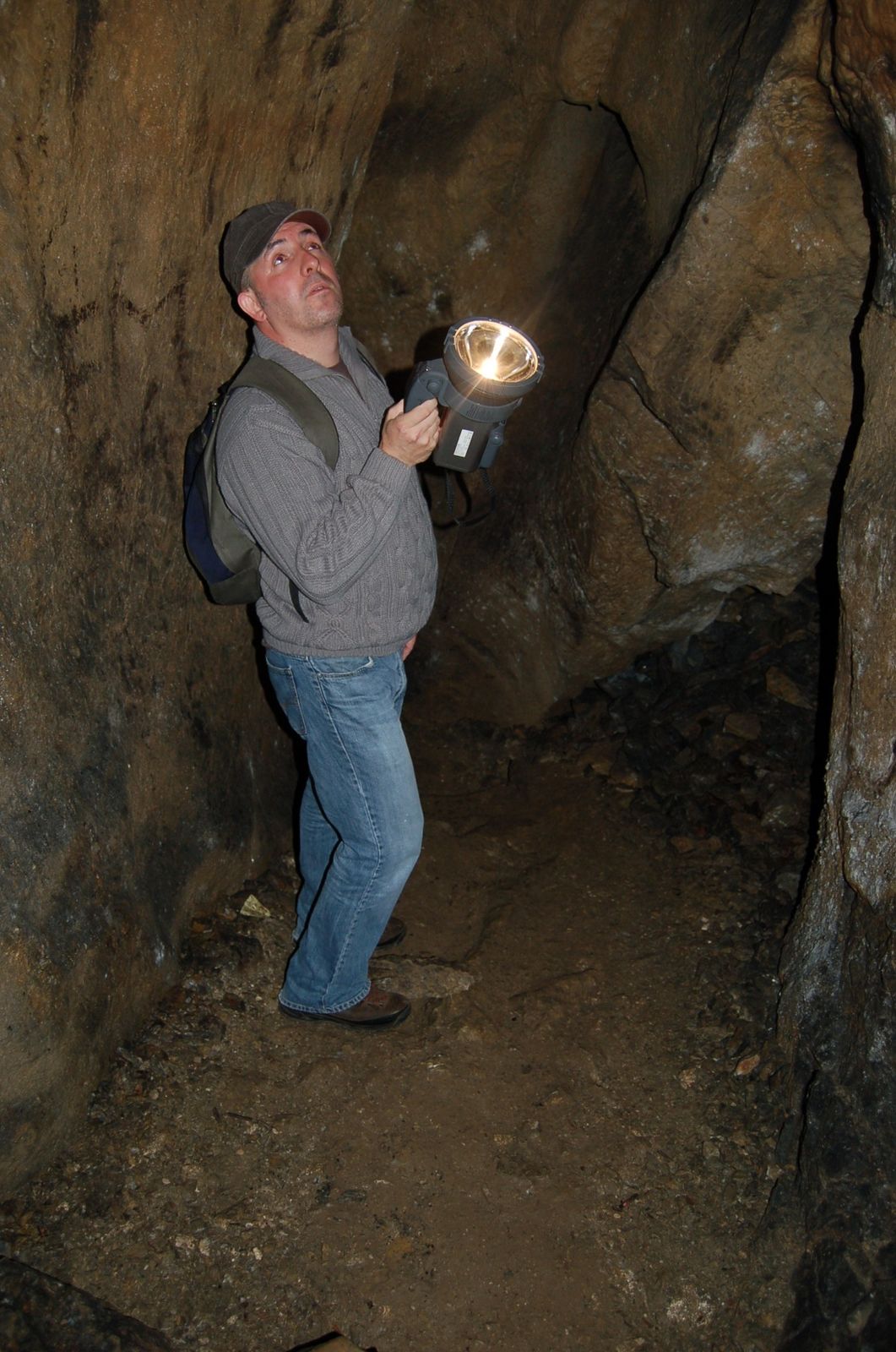
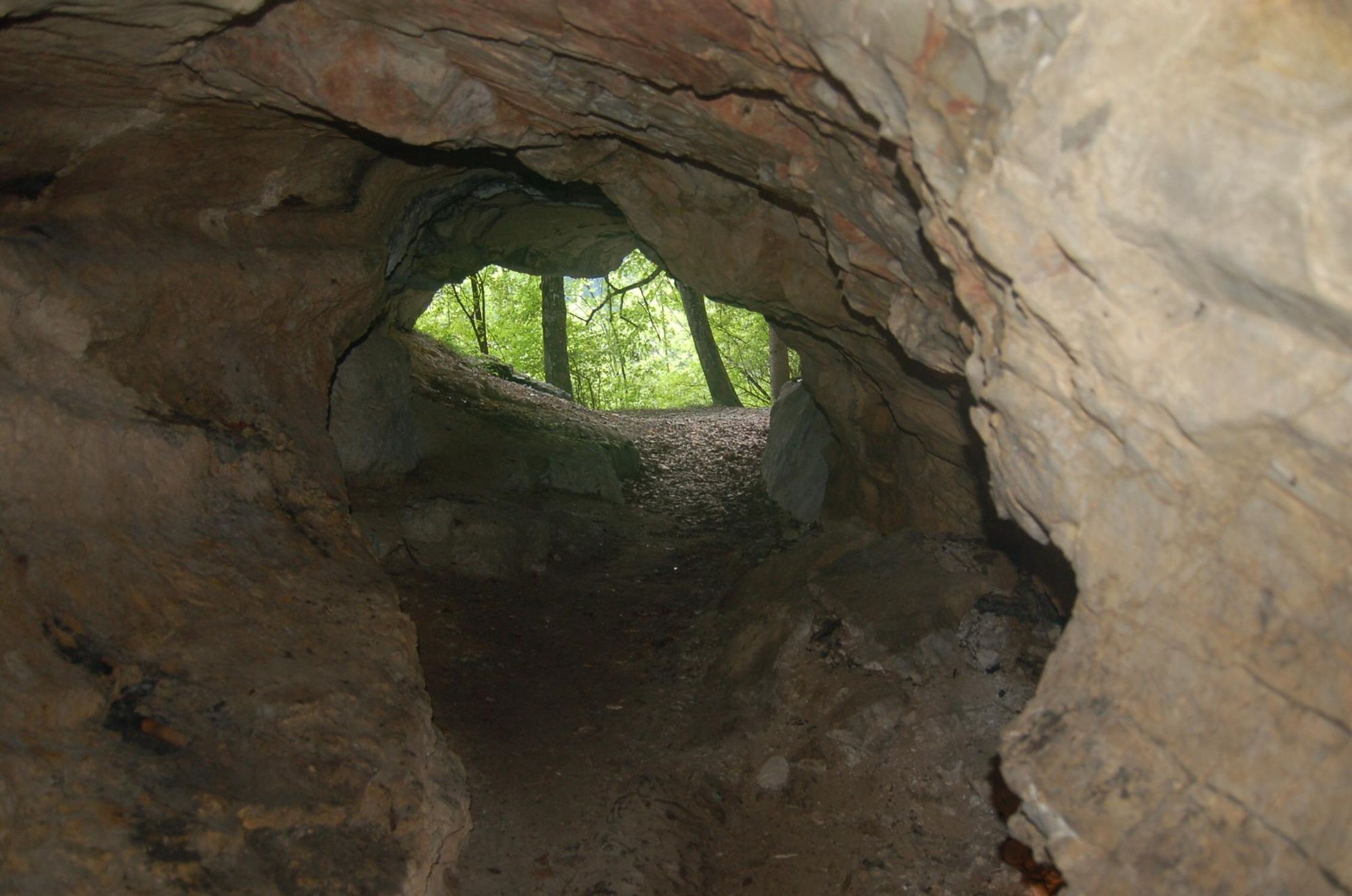
Der Weg führt den Wanderer durch die wildromantische Landschaft des Sulzbachtales zum Wackelstein und in eine der Höhlen, die interessante Konglomerat-Ablagerungen aufweist. Außerdem gibt´s beim Sulzböck herrlichen Most und als Abschluss die beiden Mühlen mit dem k.& k. Museum in der Schafluckmühle.
- Difficulty
-
medium
- Rating
-
- Route
-
TürnitzWackelstein (704 m)2.7 kmWildfrauenhöhle2.8 kmPaulinenhöhle3.0 kmAnthofrotte5.3 kmSchußluck Kapelle6.1 kmTürnitz7.3 km
- Best season
-
JanFebMarAprMayJunJulAugSepOctNovDec
- Highest point
- 675 m
- Height profile
-

- Author
-
The tour Naturkundliche Wanderung Paulinenhöhle - Sulzbachtal is used by outdooractive.com provided.
GPS Downloads


General info
A lot of view
Other tours in the regions
-
Mostviertel
2453
-
Pielachtal
1114
-
Türnitz
369