- Brief description
-
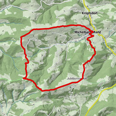
Tour beginnend bei der Talstation des Muckenkogel Sessellifts bis zur Lilienfelder Hütte.
- Difficulty
-
medium
- Rating
-
- Starting point
-
Lilienfeld - Talstation (valley station) of the Muckenkogel- Bergbahn (cable car)
- Route
-
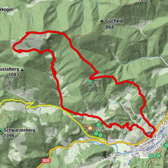
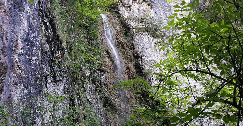
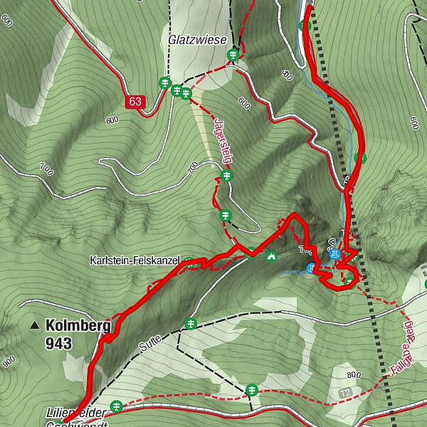
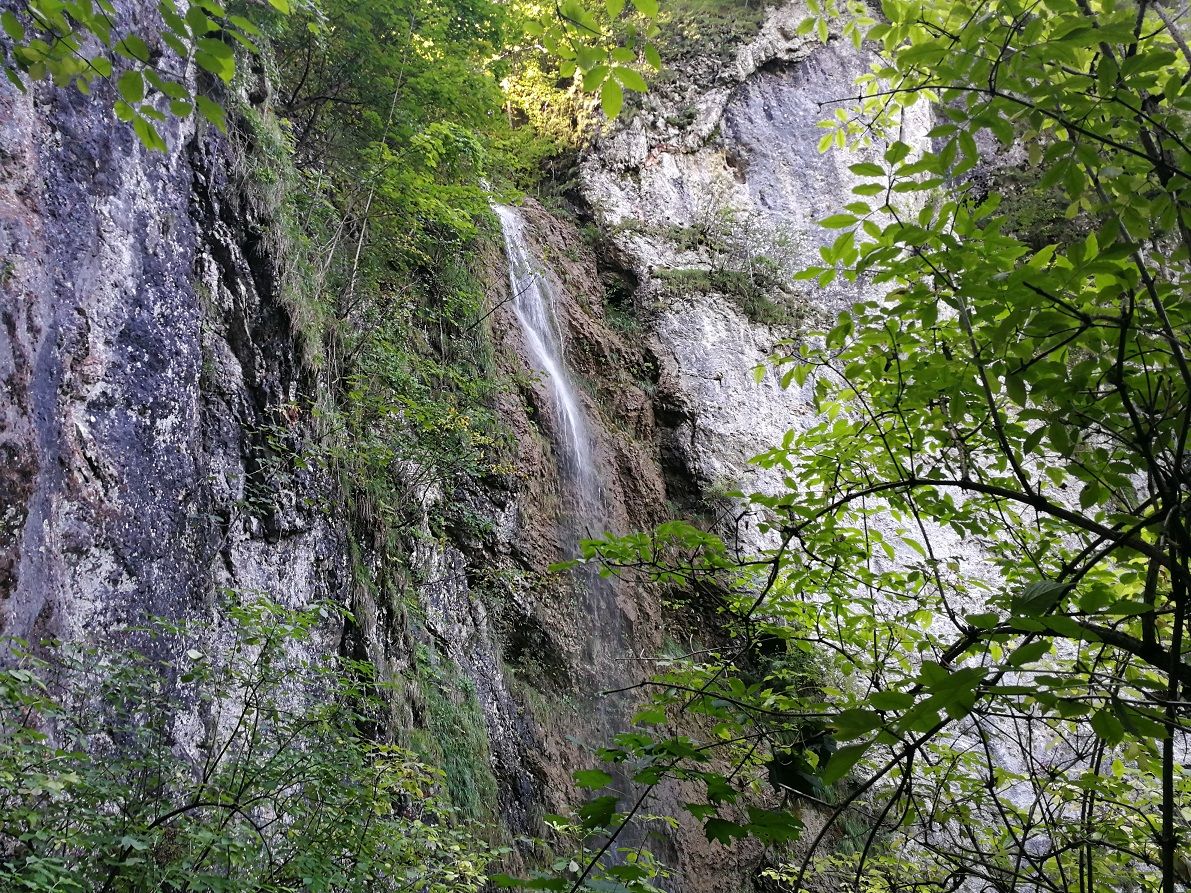
Großer Wasserfall0.8 kmKleiner Wasserfall1.1 kmKarlsteinkluft1.5 kmKarlstein-Felskanzel1.8 kmLilienfelder Hütte2.5 km
- Best season
-
JanFebMarAprMayJunJulAugSepOctNovDec
- Directions
-
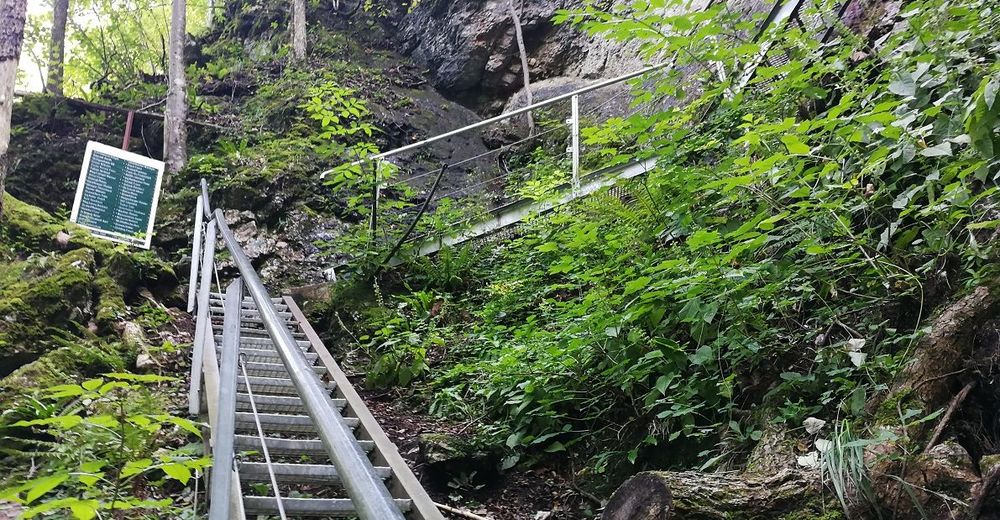
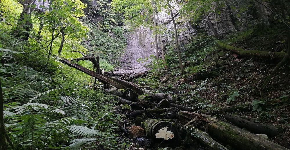
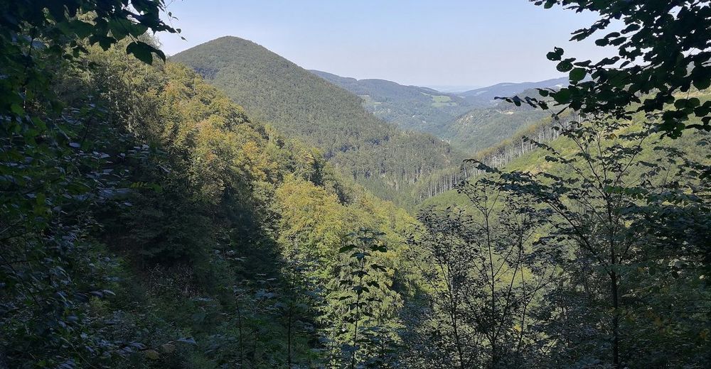
The trail begins at the valley station of Muckenkogel- Bergbahn (mountain railway). The path leads along the lift route to the Kolmer waterfall with its remarkable rocky cirque. The upper rock climb has two stairs and two transitions that were rebuilt in 2000 and are well protected by a railing. From there the waterfall trail in the Kolmsteig continues, leading to the former Stiftsgasthaus Kolm (Abbey Guest House). Connecting paths from the Kolmsteig lead to the small waterfall and the Lilienfelder Hütte (cabin). (Connection to the Lilienfelder Rundwanderweg (trail) - marked blue). The way back is also recommended via the waterfall path which leads to the starting point, and to the valley station of the cable car.
- Highest point
- 946 m
- Endpoint
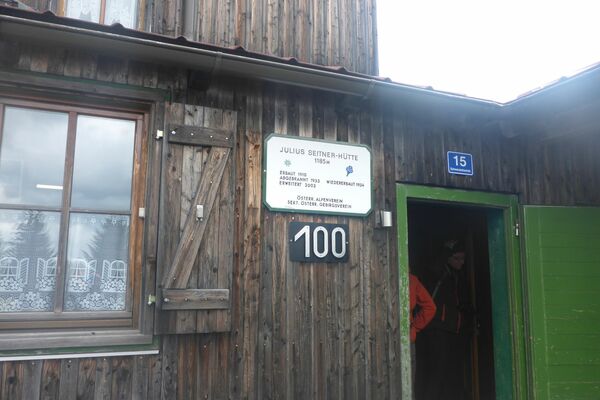
-
Lilienfelder Hütte
- Height profile
-

- Additional information
- Directions
-
A1 exit St. Pölten Süd - direction Mariazell - follow the B20 to Lilienfeld - after the Stift (abbey) Lilienfeld turn left and pass the Stift (abbey) on the left - Follow the road Klosterrotte - then turn right at the valley station to the Muckenkogel-Bergbahn (Cable car)
- Parking
-
Talstation (valley station) Sesselift (chairlift)


- Author
-
The tour Wasserfallsteig is used by outdooractive.com provided.


General info
-
Mostviertel
2453
-
Traisen-Gölsental
1339
-
Lilienfeld
367