- Brief description
-
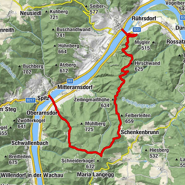
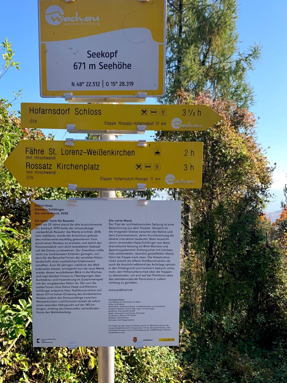
On the first day of the Wachau Circumnavigation, the route goes from Weißenkirchen across the Danube to the Seekopf and from there via the Lake Rührsdorfer and the Buchen valley back to the Danube in Spitz.
- Difficulty
-
medium
- Rating
-
- Starting point
-
Landing stage of the rolling ferry in Weißenkirchen in the Wachau valley
- Route
-
WeißenkirchenSankt Lorenz0.2 kmHirschwand (625 m)4.0 kmSeekopfwarte4.6 kmSeekopf (671 m)4.7 kmHerrnplatzl6.4 kmBuchental15.1 kmSpitz16.7 km
- Best season
-
JanFebMarAprMayJunJulAugSepOctNovDec
- Description
-
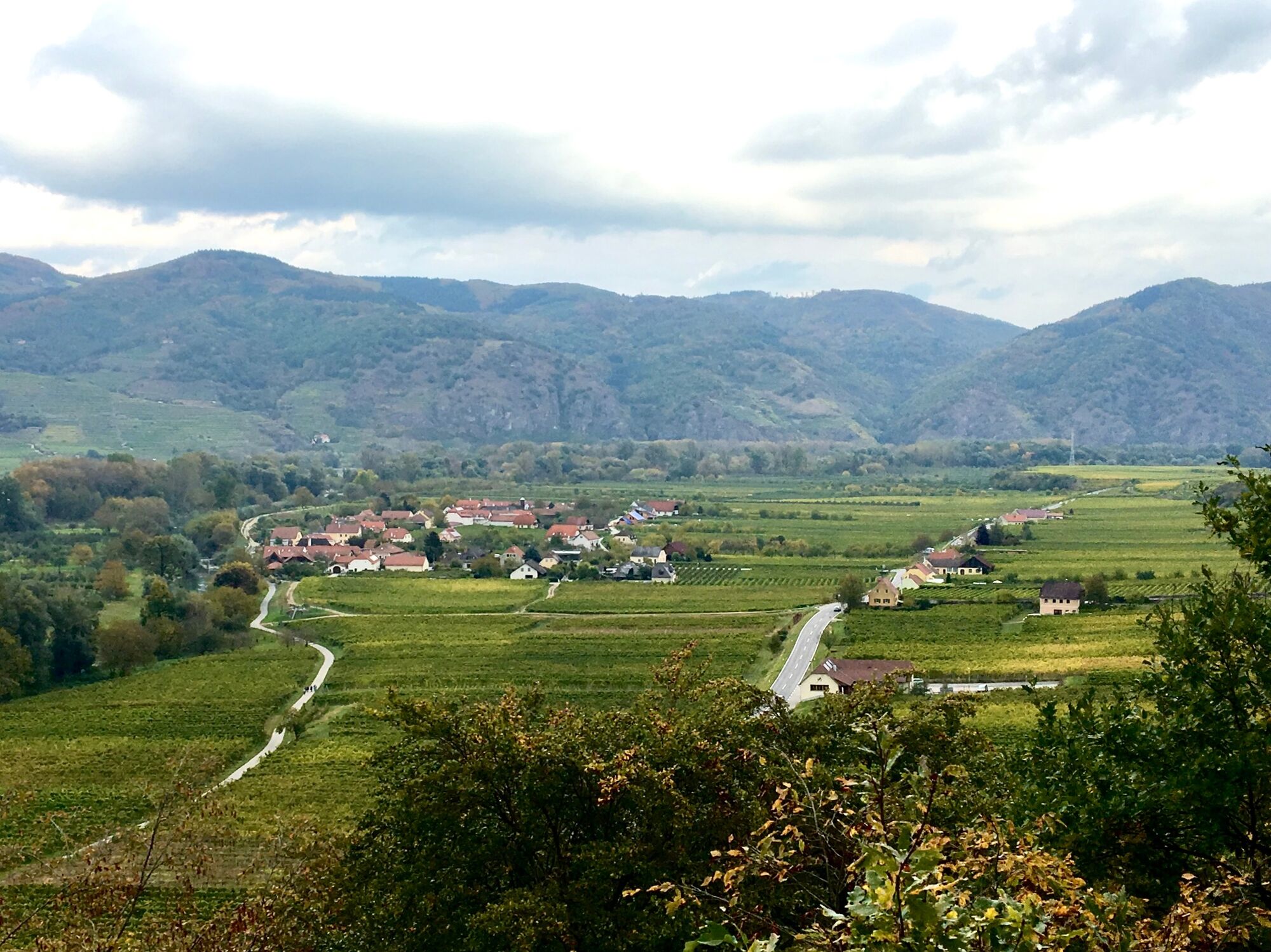
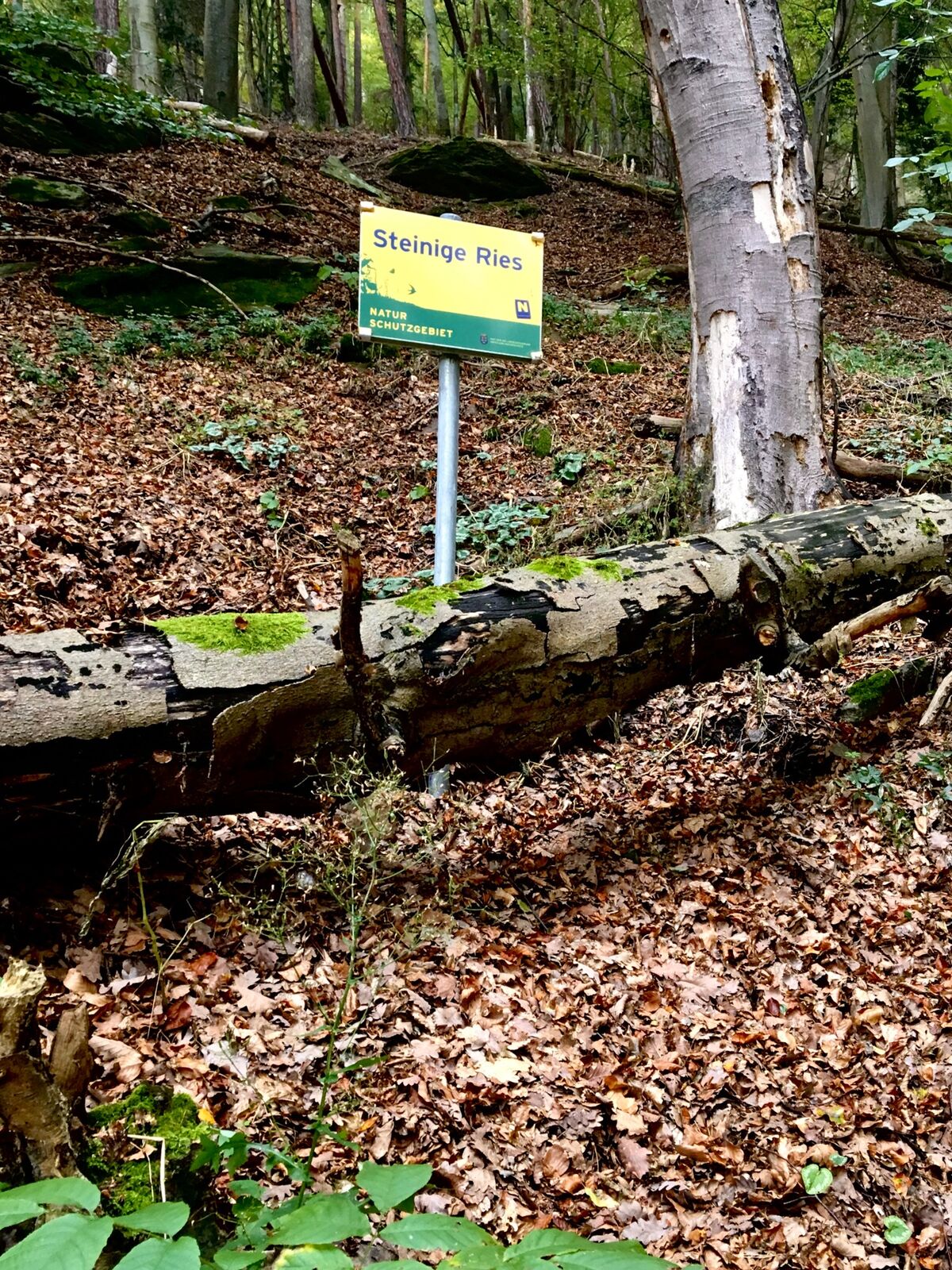
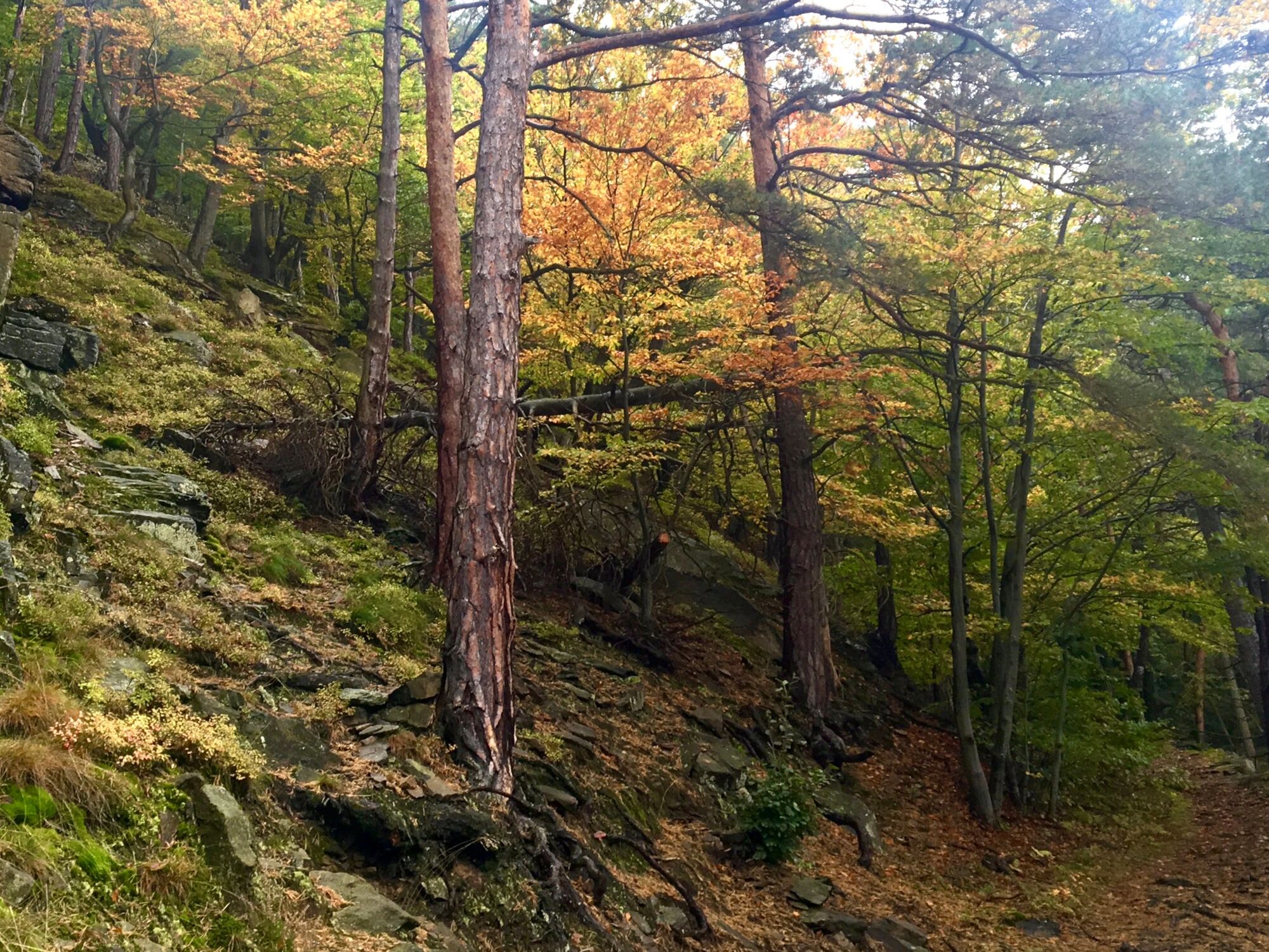
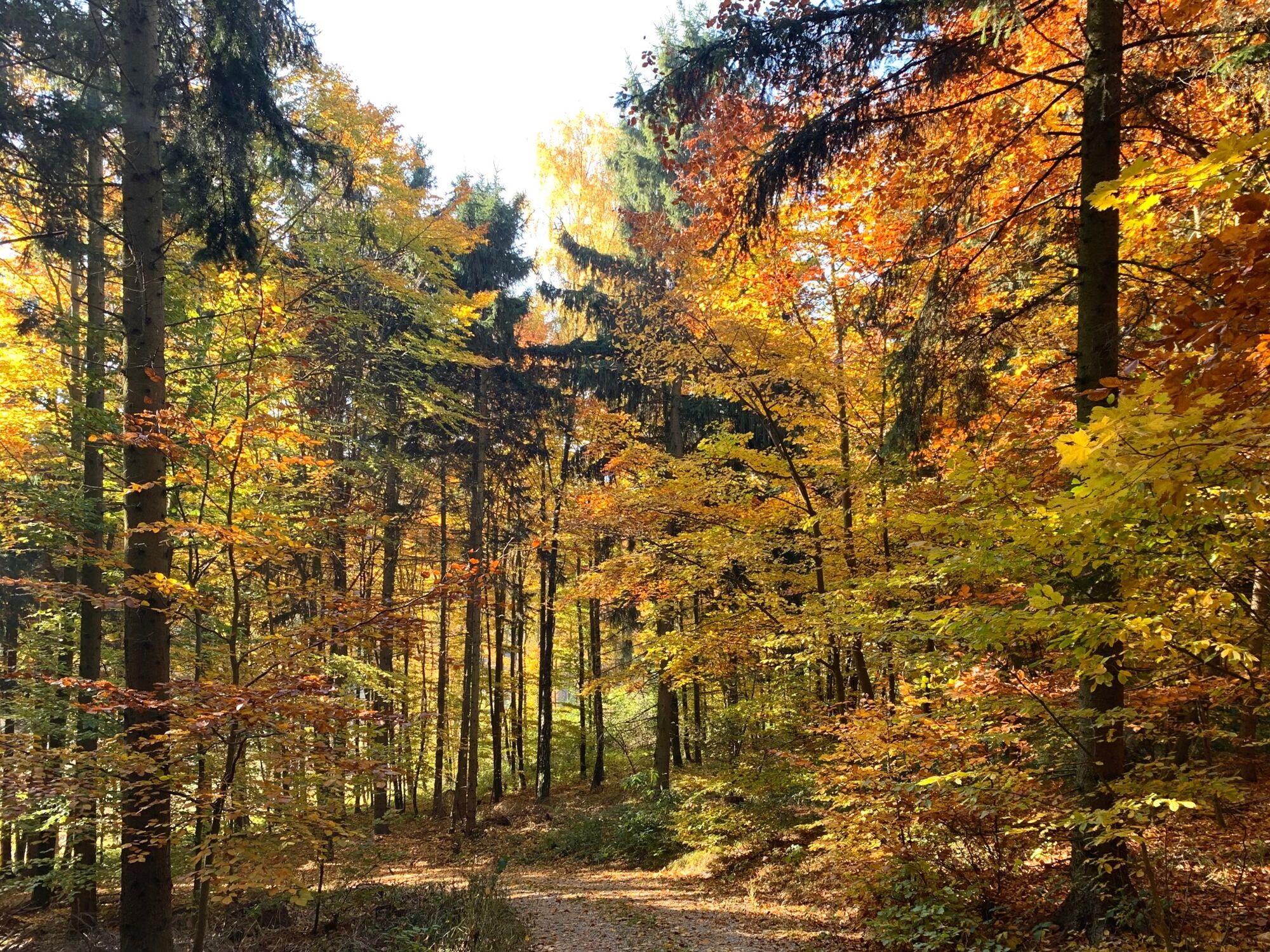
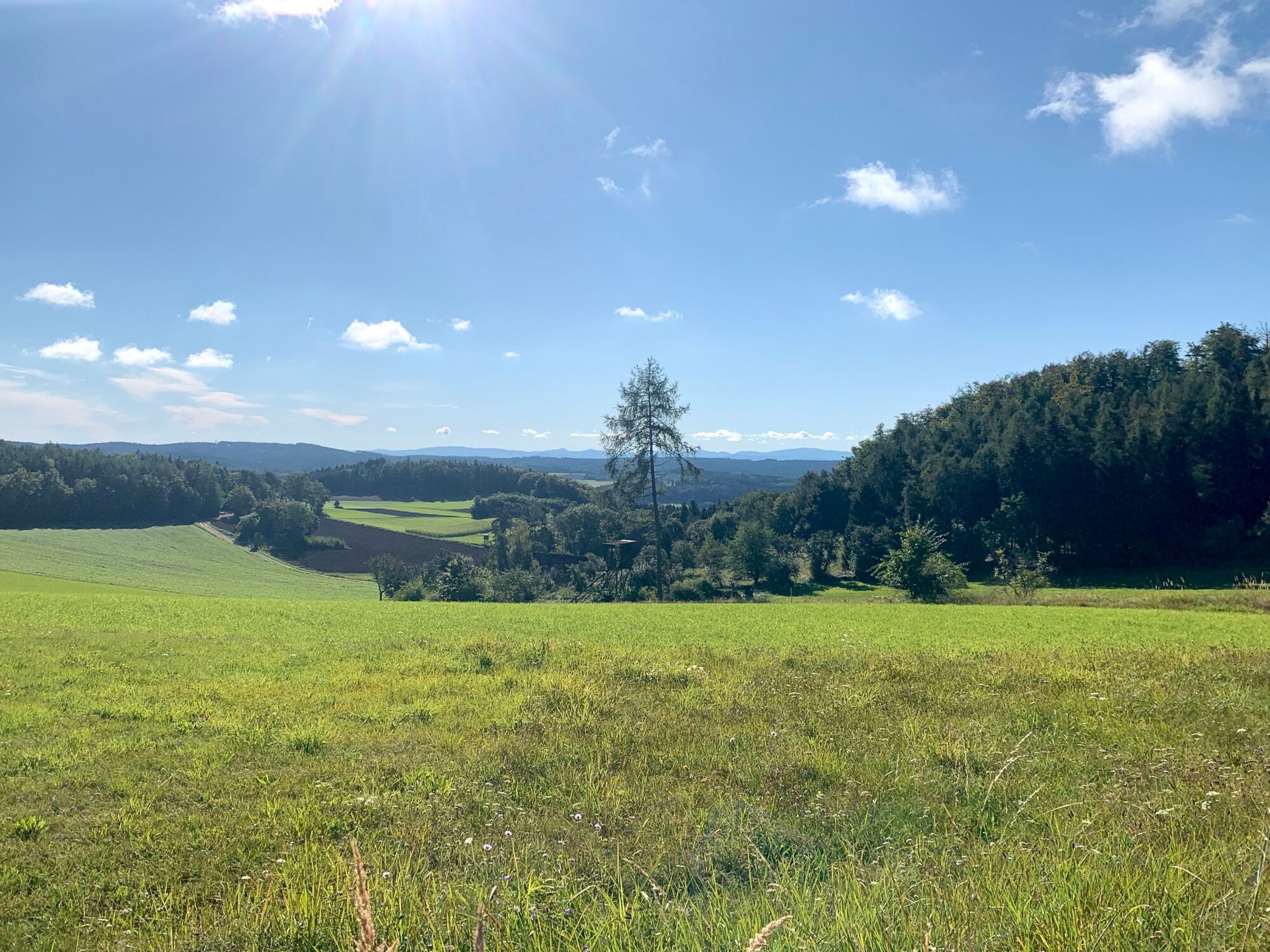
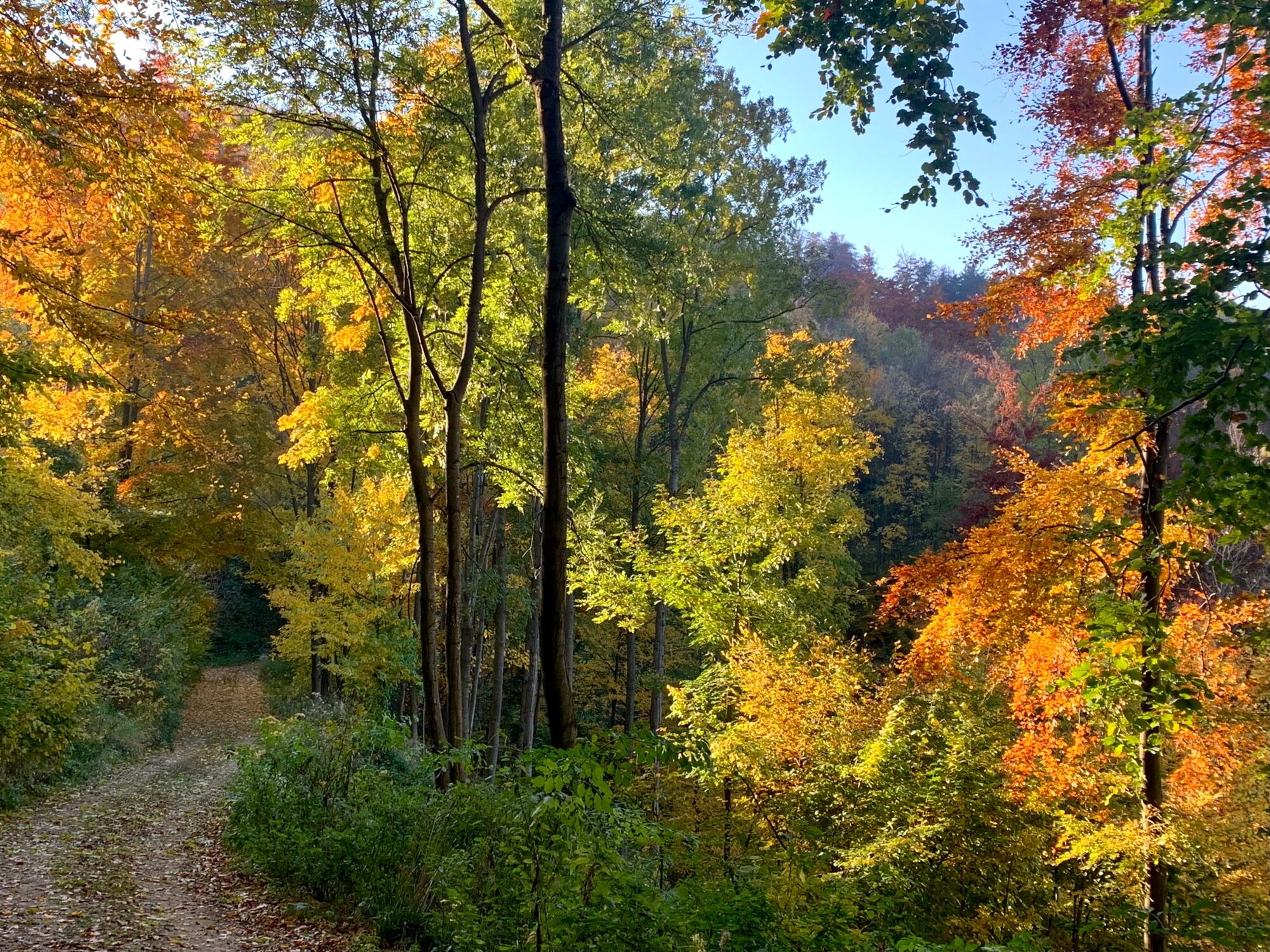
On the first day of our Wachau circumnavigation, we start in Weißenkirchen and cross the Danube to Sankt Lorenz on the historic rolling ferry. Through the Steinige Ries nature reserve with its bizarre rock formations and the sessile oaks that thrive on this subsoil, we climb a total of over 500 metres in altitude to reach the highest point of this mountain range opposite the Thal Wachau communities of St. Michael, Wösendorf, Joching and Weißenkirchen.
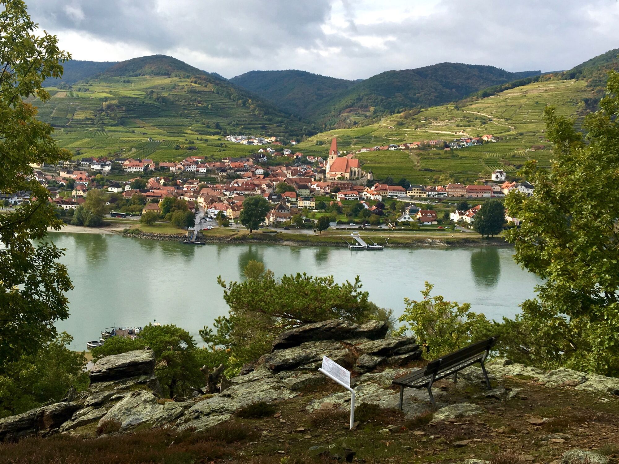
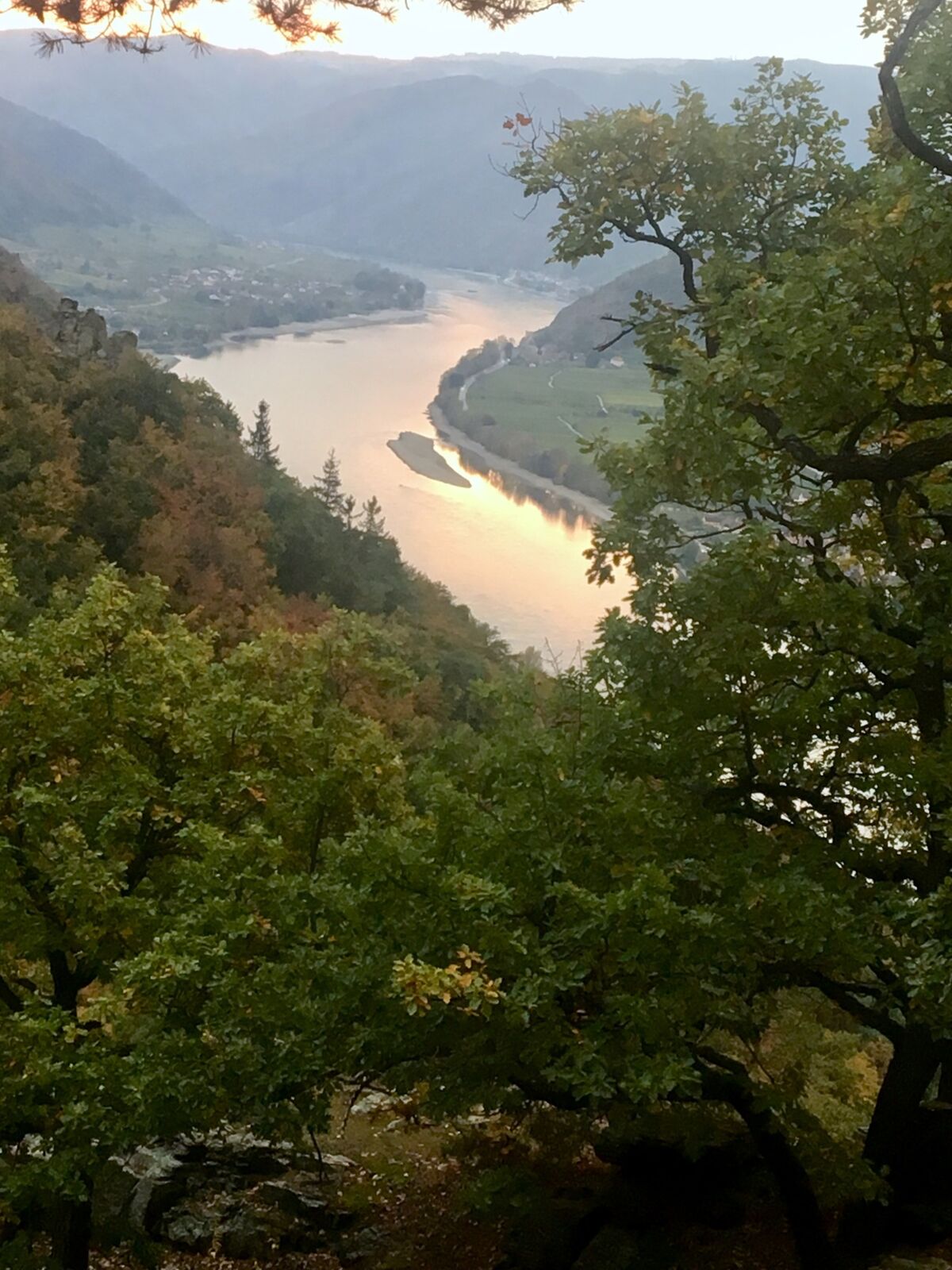
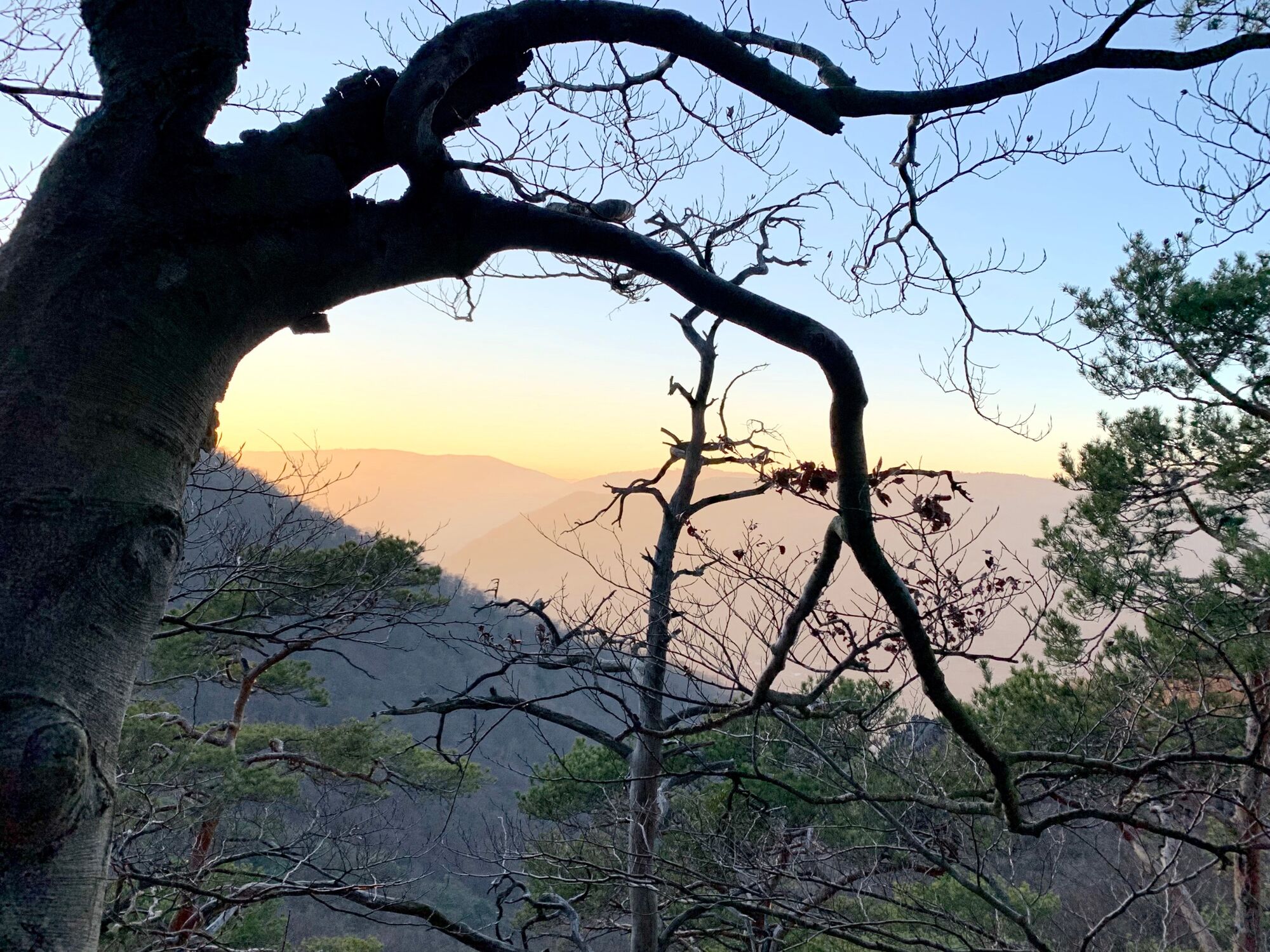
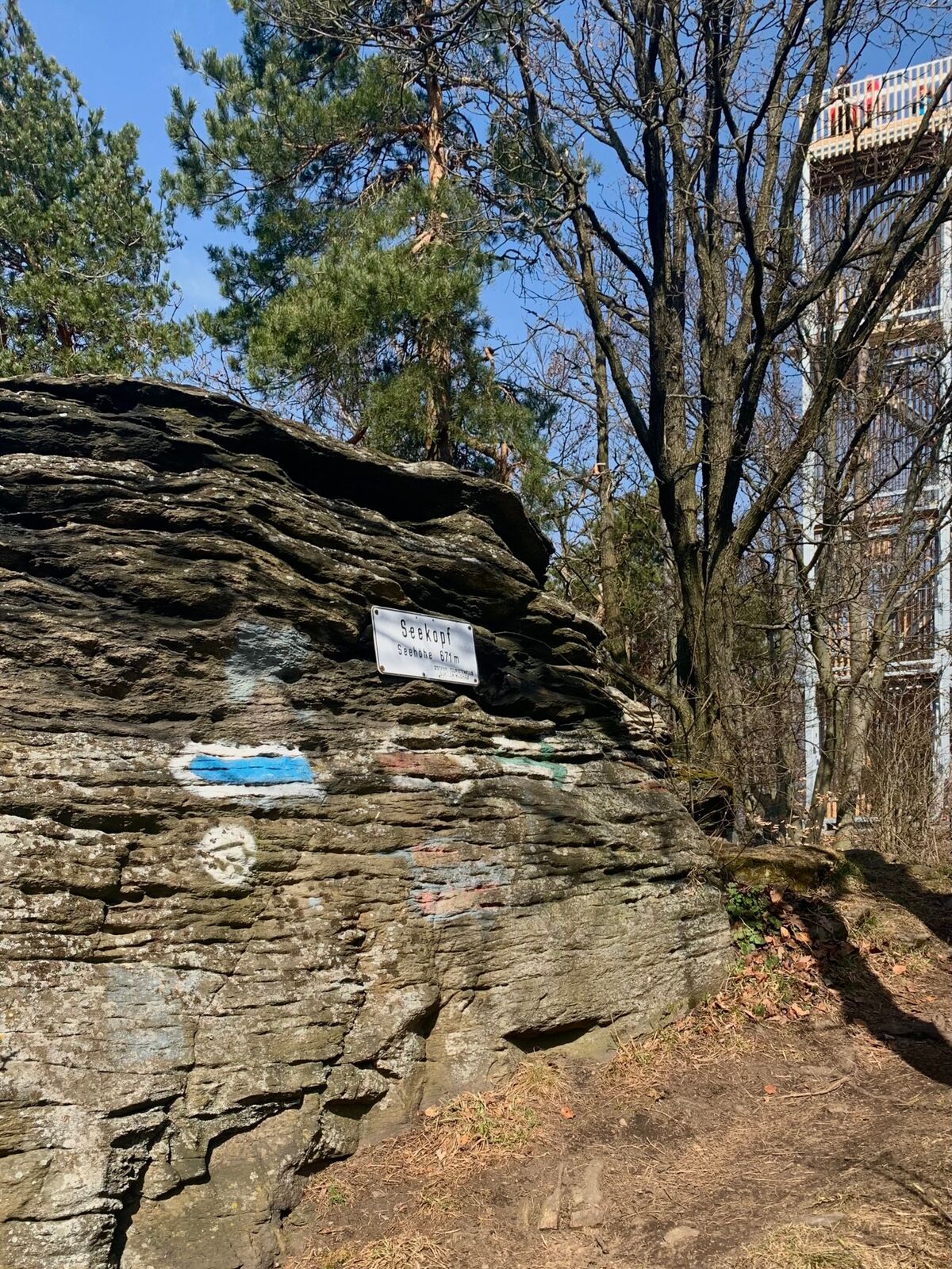
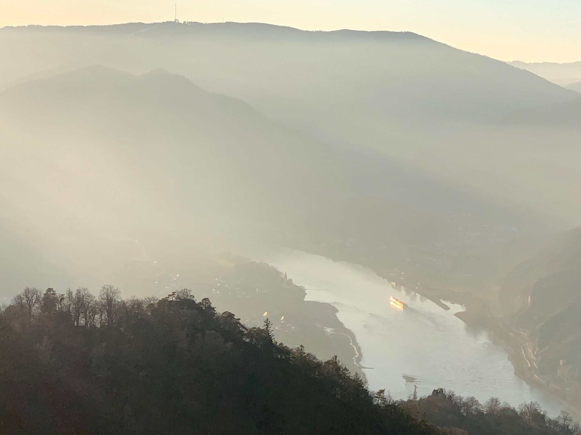
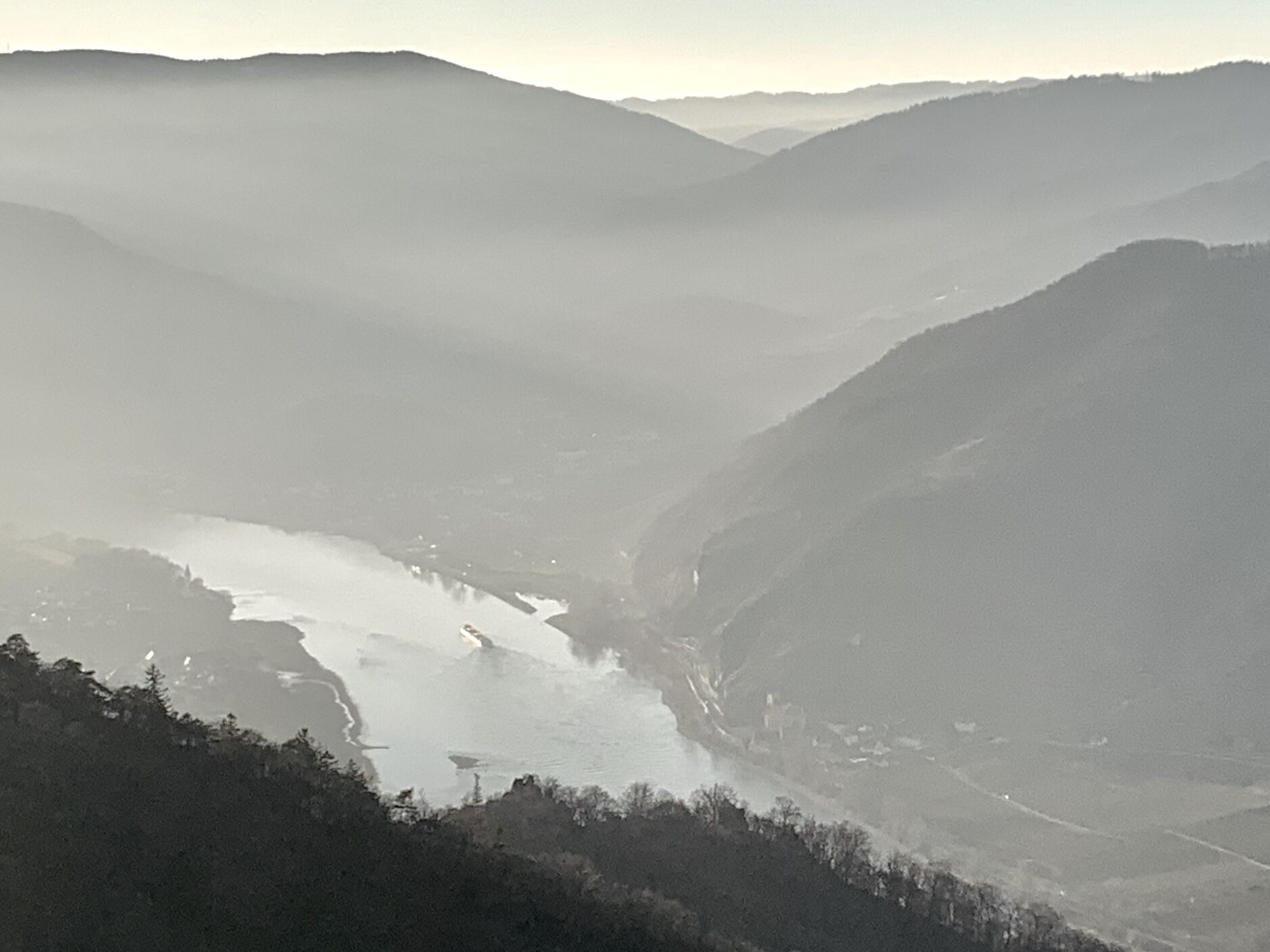
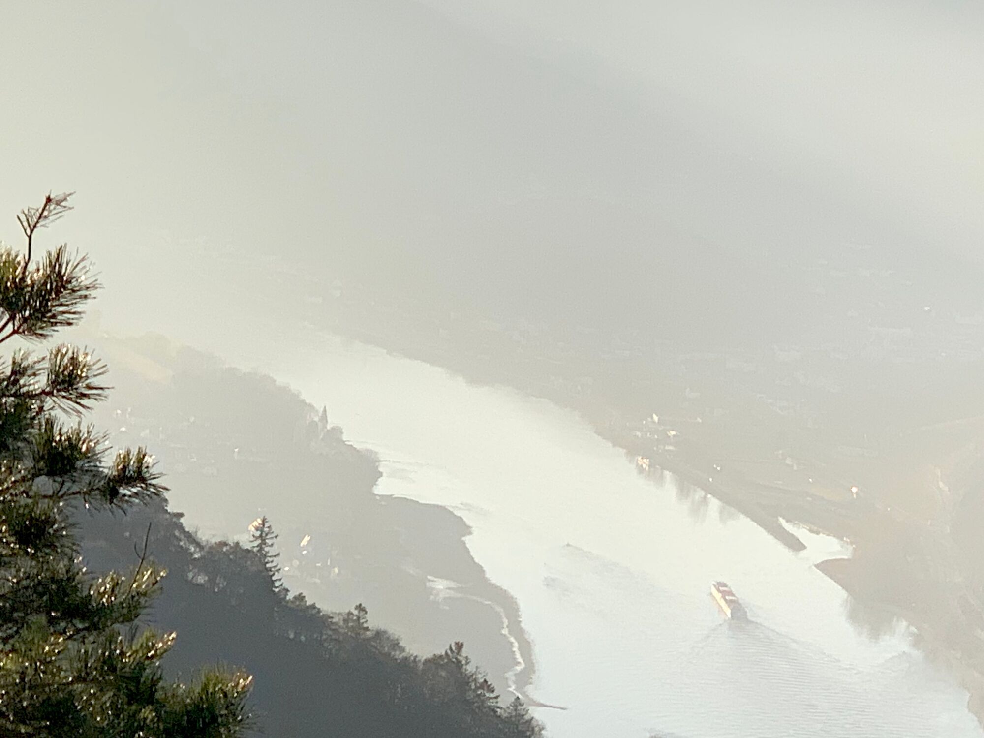
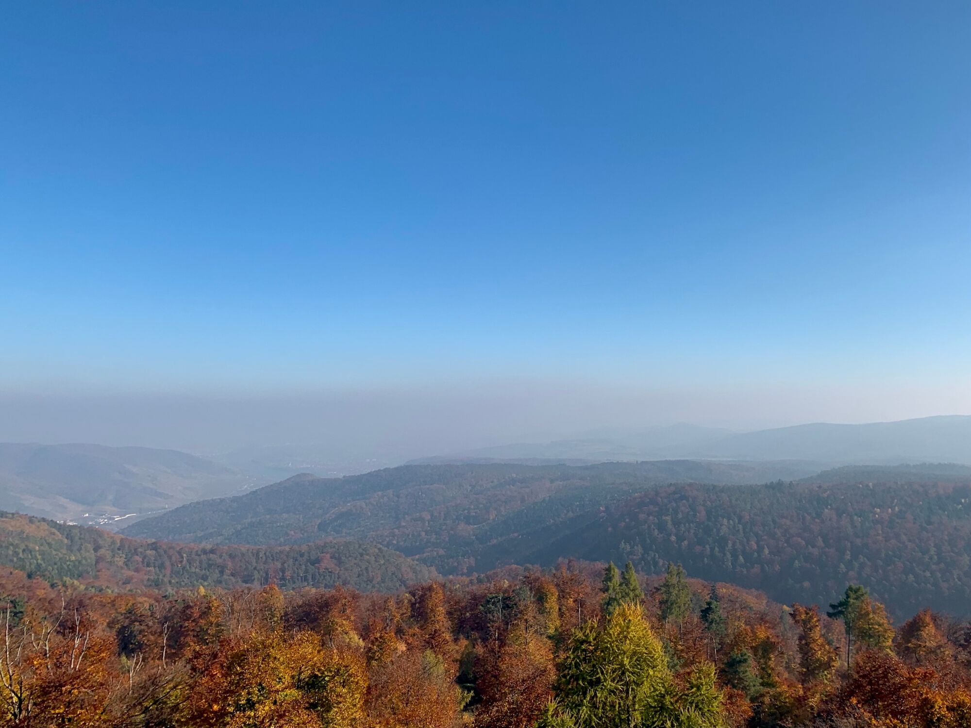
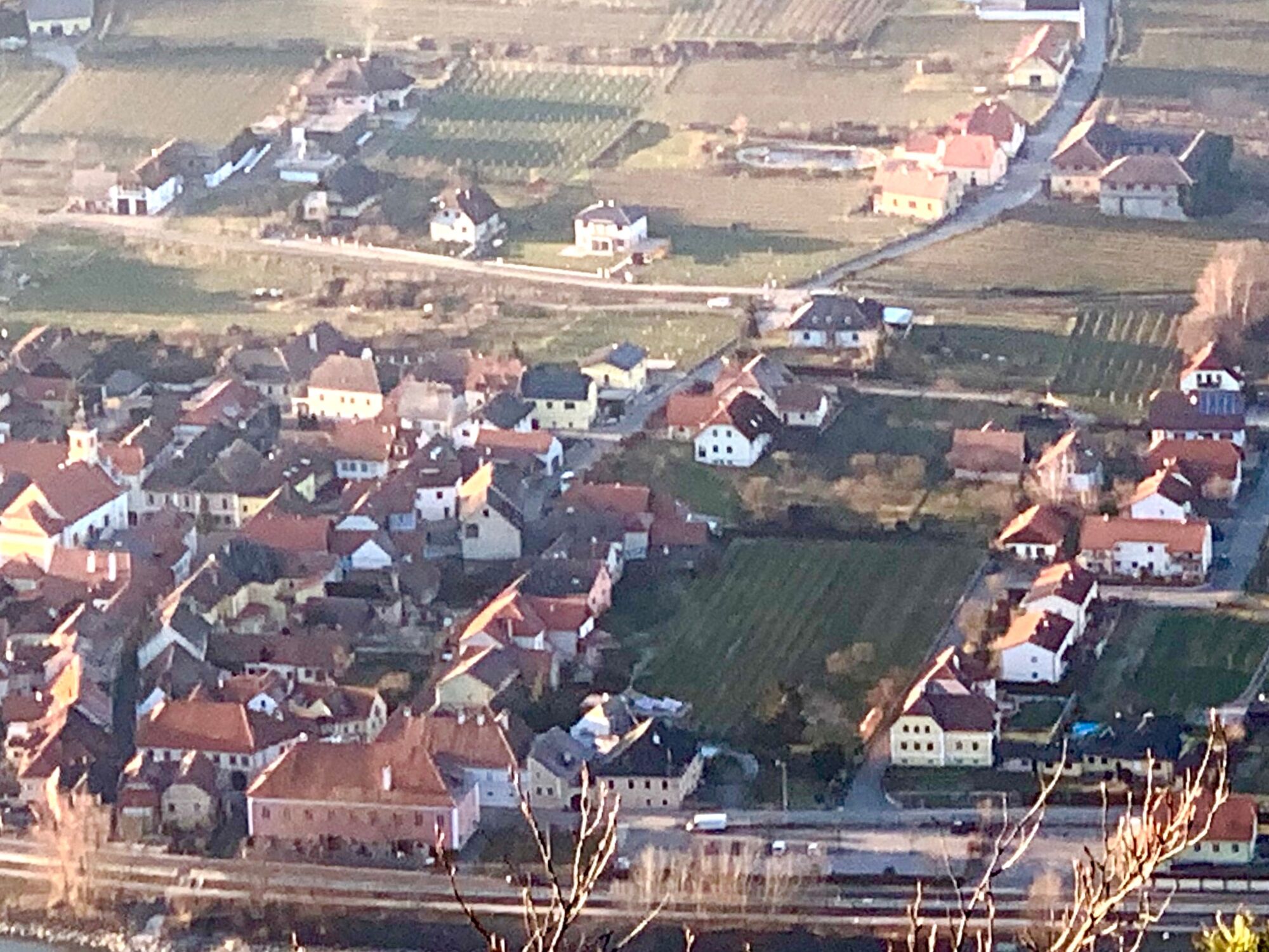
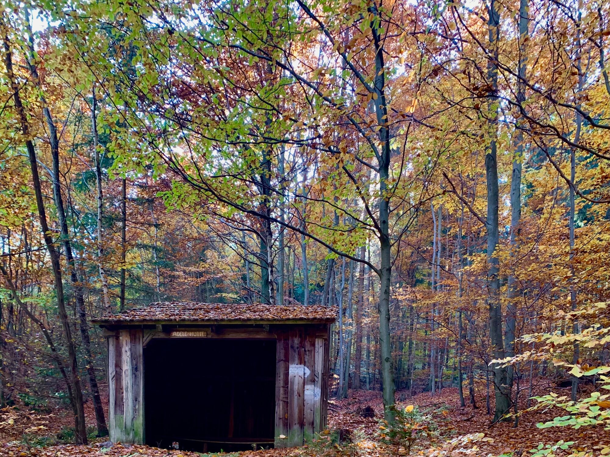
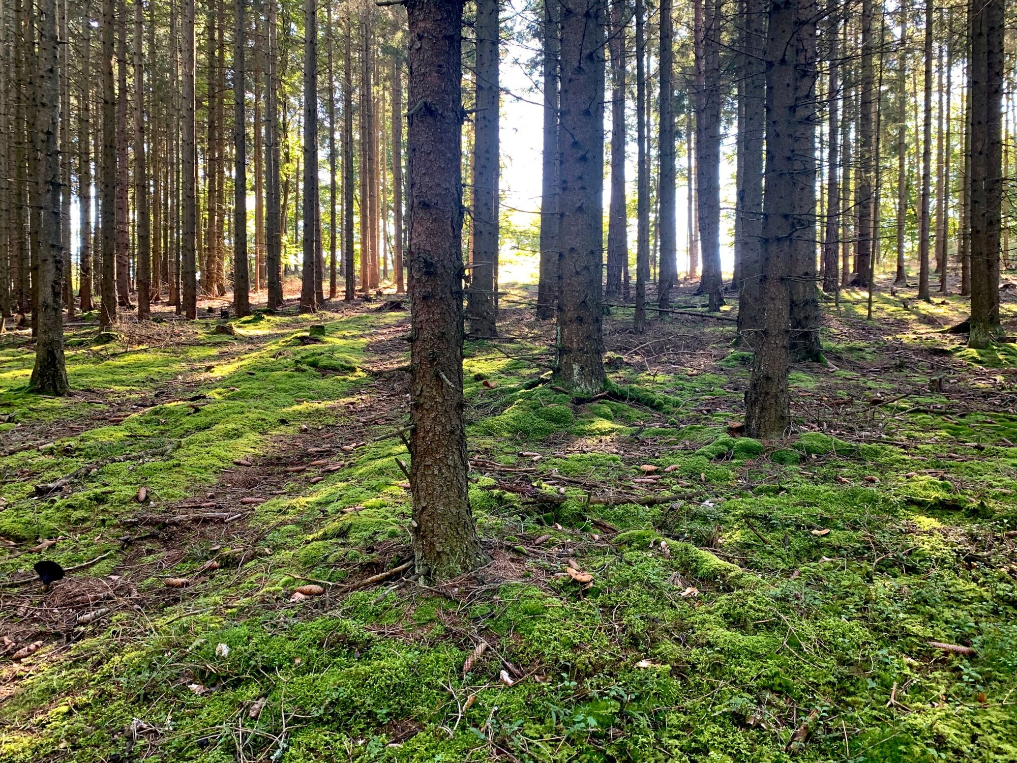
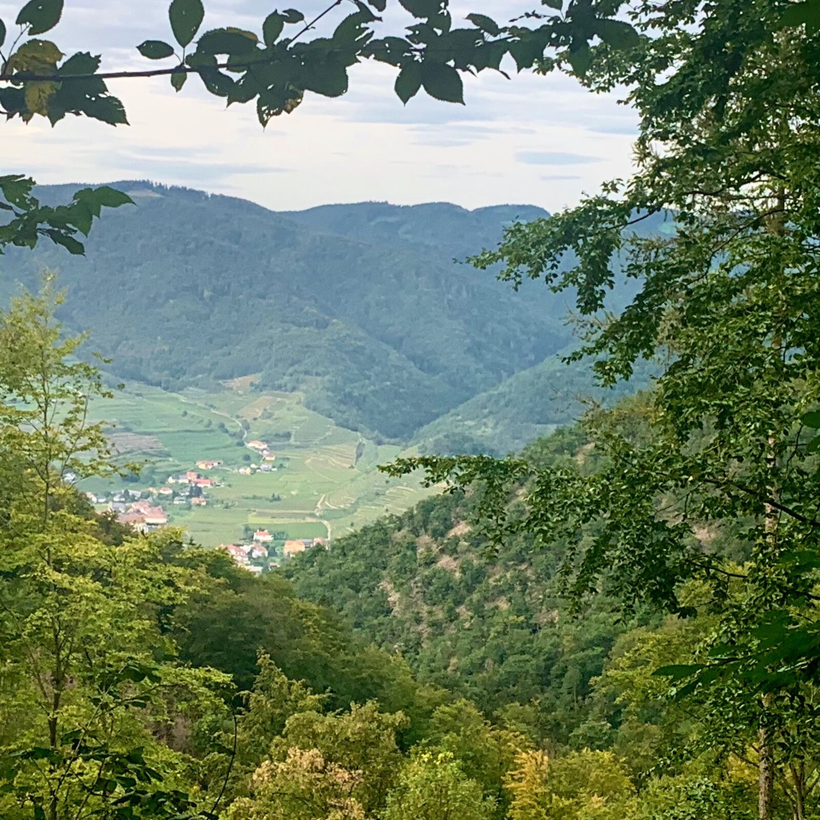
At Seekopf, 671 m above sea level, there is a new lookout point from which you have a beautiful view of the Wachau valley, the Waldviertel, the Dunkelsteiner Forest and the Alps. From the Seekopf we descend to Lake Rührsdorf and into the Seegraben to the Adele Hut. From the Adele Hut we climb up again a little to the Herrnplatzl. From Herrnplatzl at about 600 metres altitude follows a hike through the Dunkelsteiner Forest at about the same altitude to Ernsthof.
From Ernsthof we descend steeply through the Buchental valley to the valley floor of the Wachau between Oberarnsdorf and Mitterarnsdorf, where we take the ferry to Spitz and, after crossing the Danube, reach the destination of our hike of Day 1 of the Wachau Circumnavigation.
- Directions
-
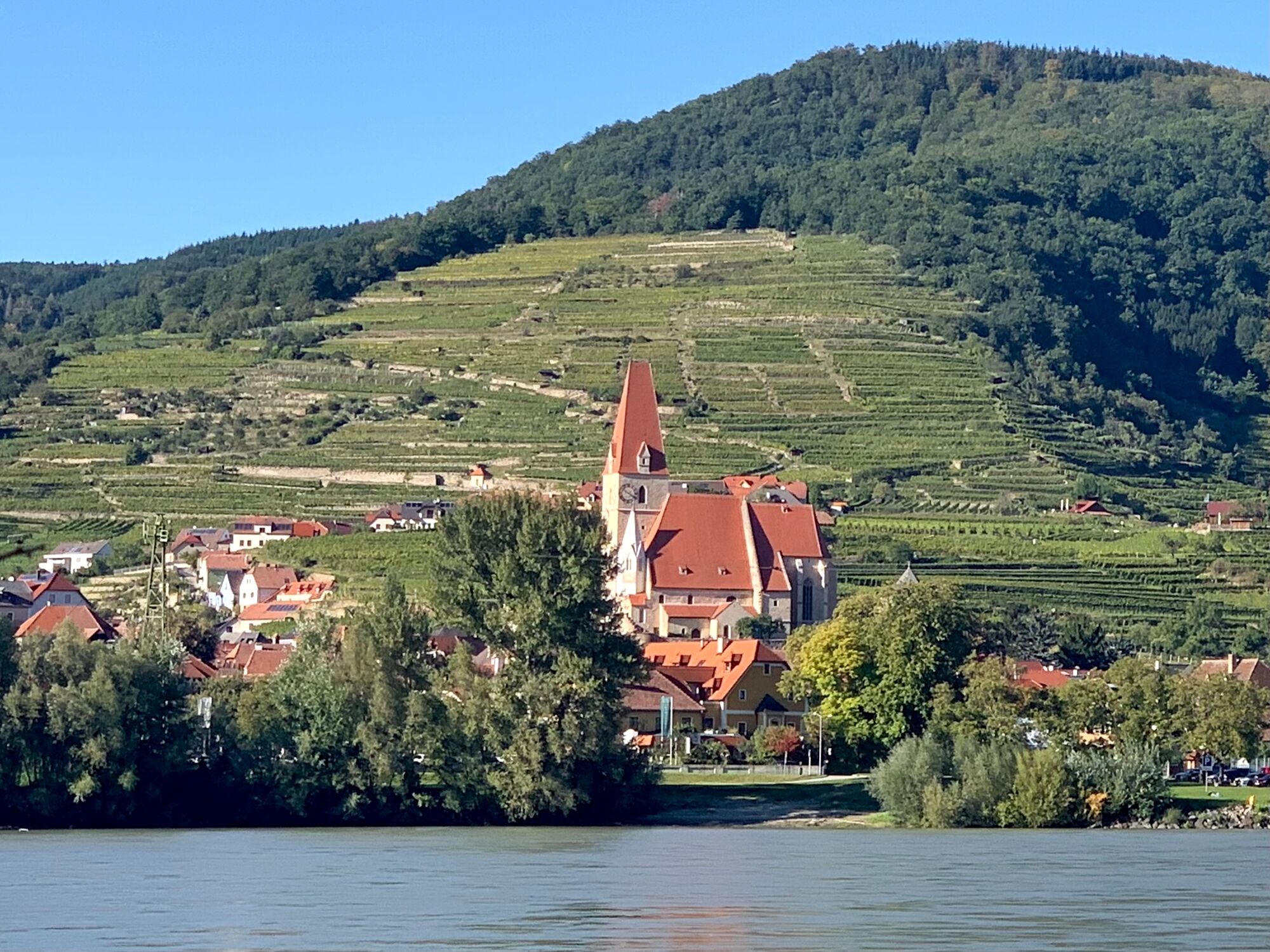
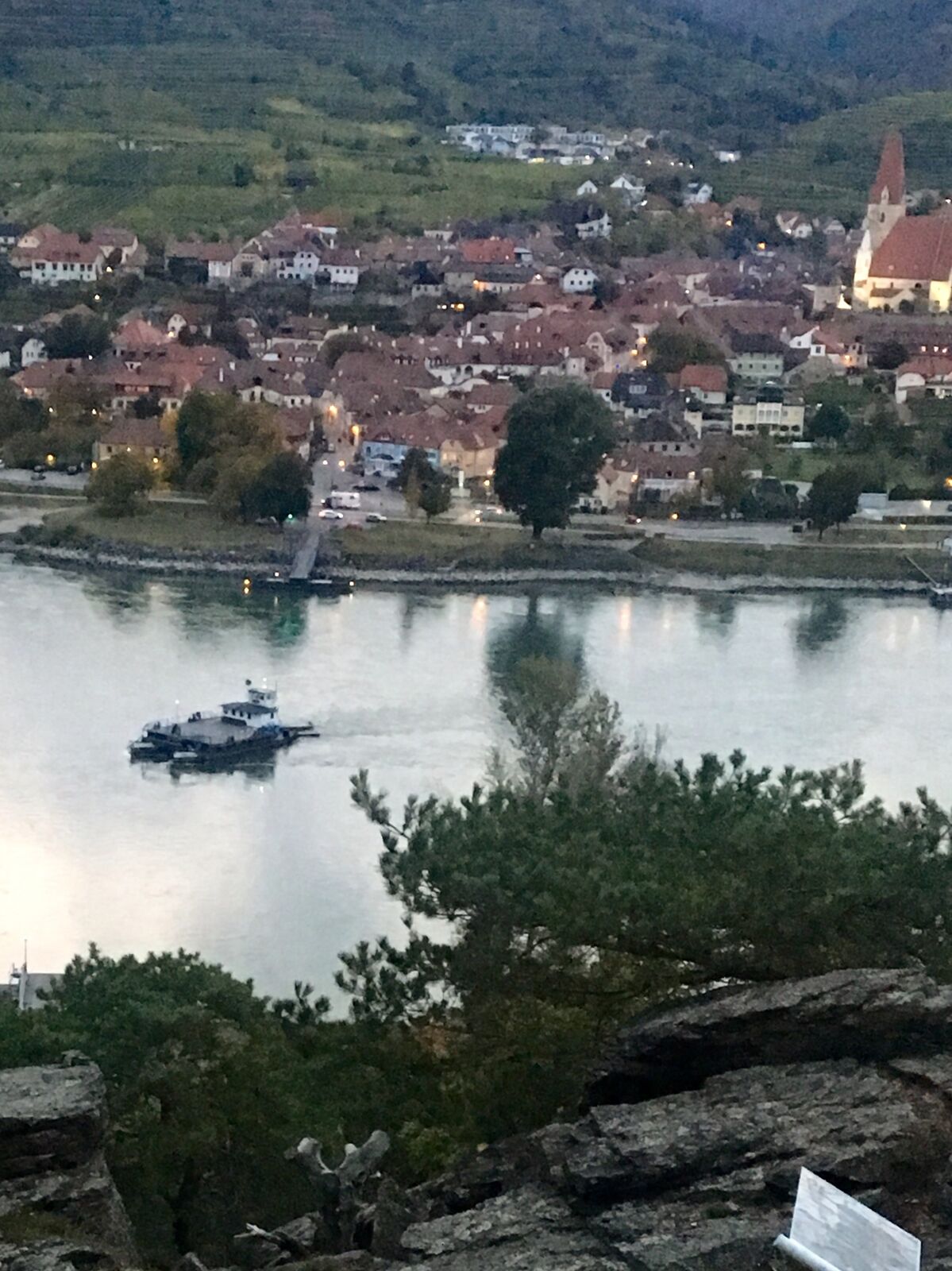
In Weißenkirchen in the Wachau valley, we set off in the morning on the historic rolling ferry that connects Weißenkirchen with St. Lorenz on the right bank of the Danube. During the crossing we turn around once and take a look back at Weißenkirchen, which lies in the morning sun. The sight of Weißenkirchen is dominated by the parish church with its mighty west tower.
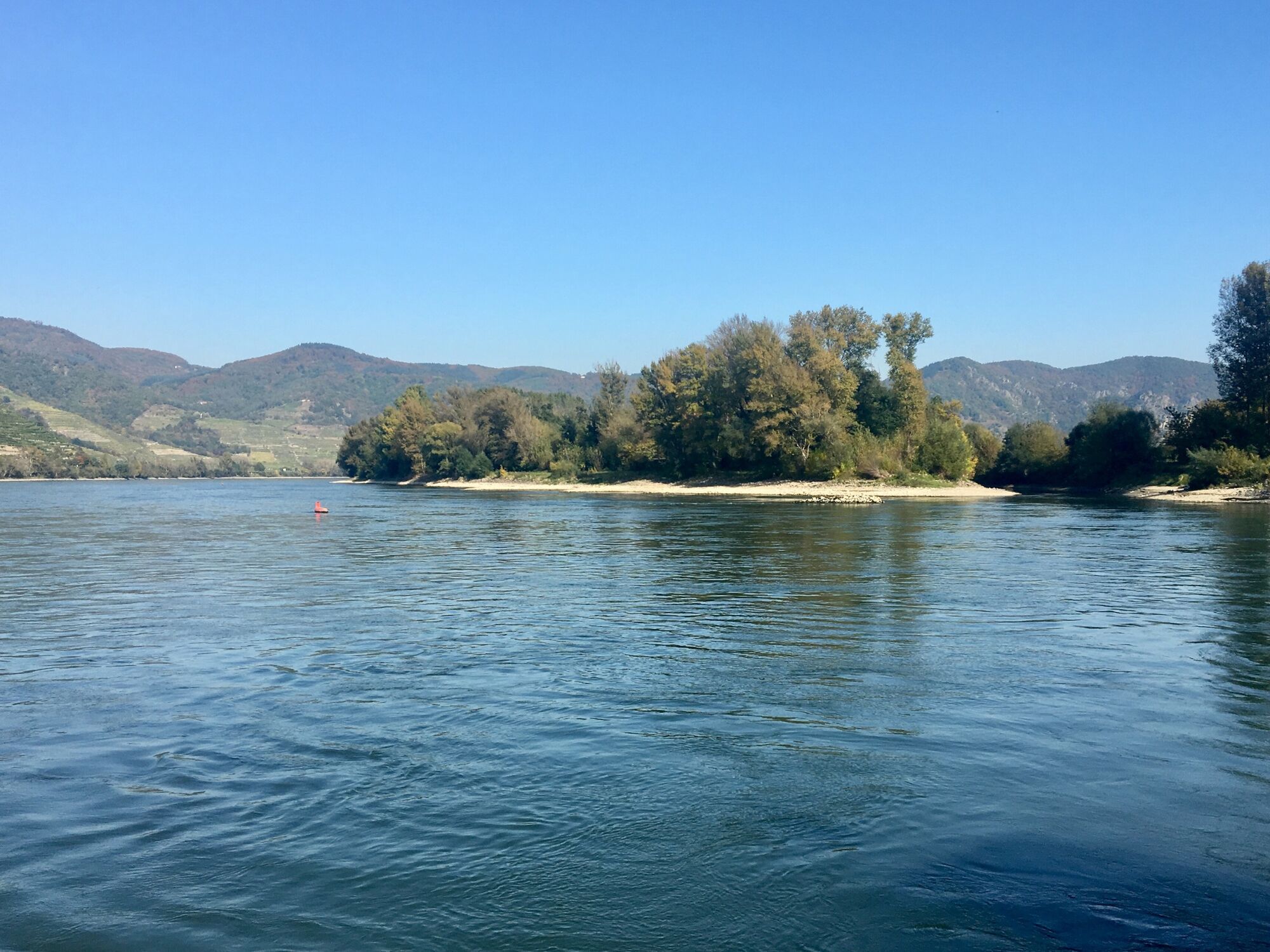
When the ferry approaches the right bank of the Danube, we can still take a look at the Venedigau, an island in the Danube off Rührsdorf. Between the Venedigau and Rührsdorf, an old arm of the Danube has been made passable again.
As we approach the ferry landing in St. Lorenz, we notice the nose from a distance. The nose looks as if a giant had been buried lying down and only its nose protrudes from the earth. A project by the artists of Gelatin, funded by Kunst im öffentlichen Raum NÖ.
When we arrive in St. Lorenz, we walk a few steps to the main road. Before we turn left and walk a little further in an easterly direction, we take a look at the Filial Church of St. Lawrence on our right, which is one of the oldest Christian places of worship in the Wachau. The church of St. Lawrence was built on a Roman burgus from the 4th century AD, of which the north wall was incorporated into the church. Since the 9th century, St. Lorenz was in the possession of the bishop of Passau.
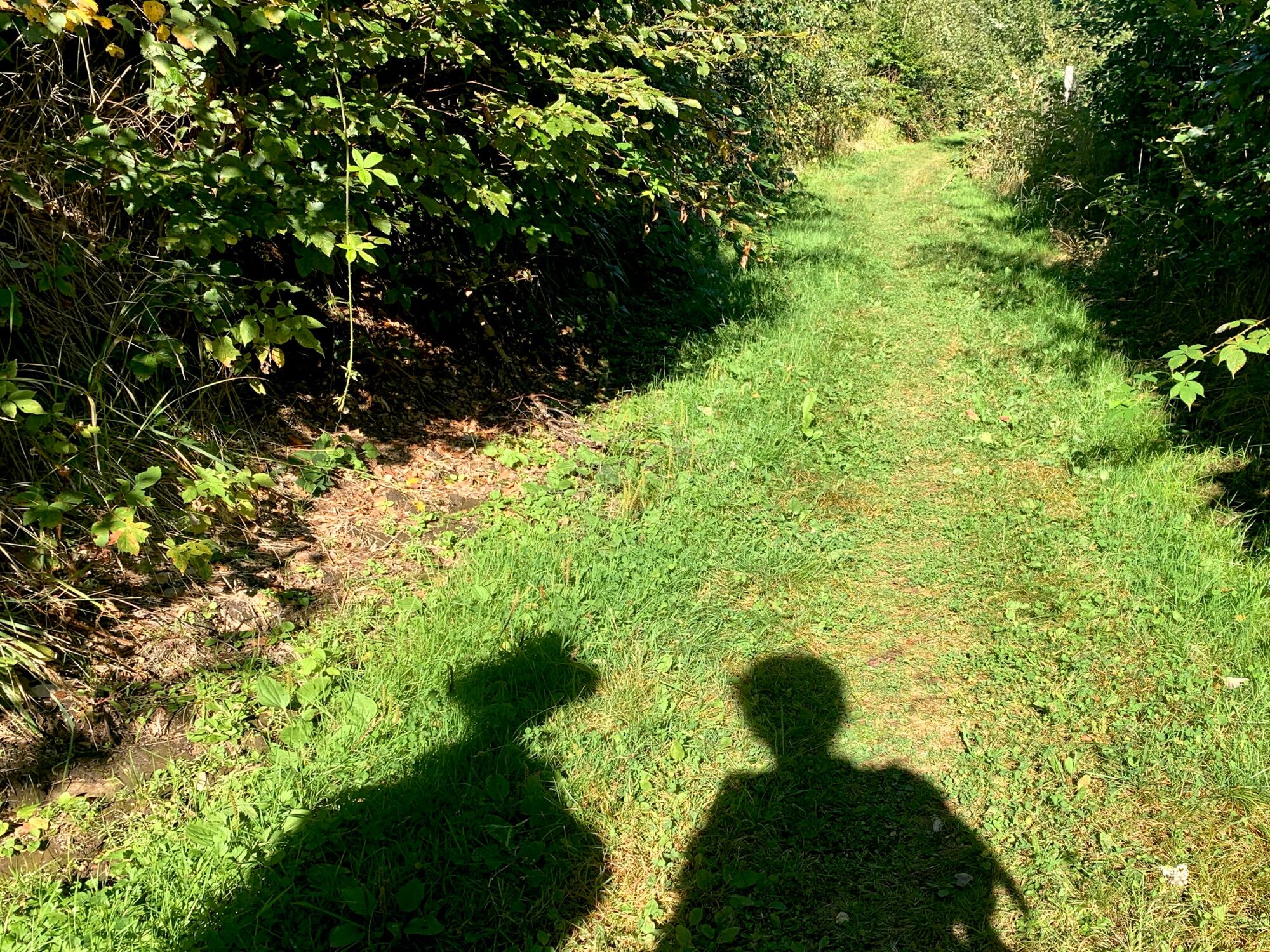
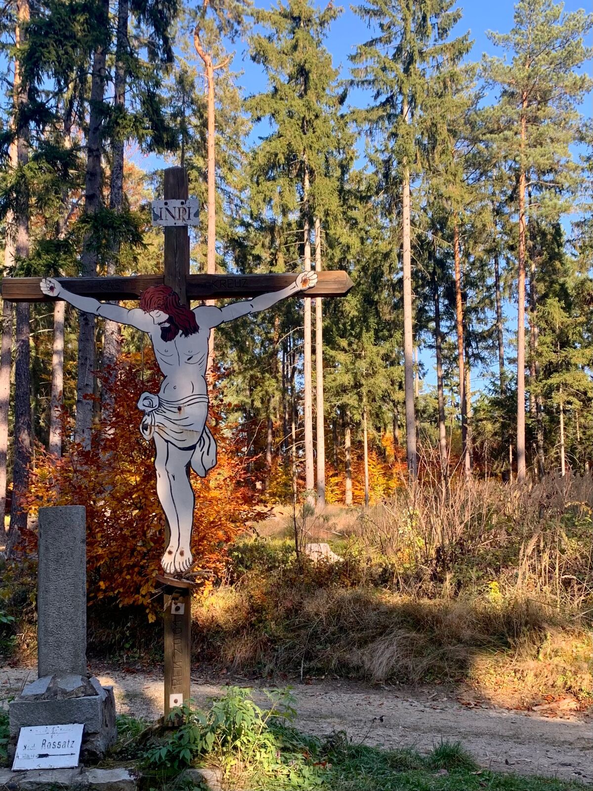
We follow the course of the main road for about 100 m before turning right behind the houses, following the sign Seekopf. On this path we walk for a while along the edge of the Rüdersdorfer Weinriede Zanzl before the path dips into the forest and turns in a curve at an acute angle to the southwest. After a short distance, we reach the Friedenskreuz (Peace Cross). This is a wooden cross that was erected by former members of the Wehrmacht from Weißenkirchen in the 1960s and subsequently expanded into a memorial. Apart from the remembrance of the recent past, there is also a beautiful view of the Danube and Weißenkirchen at this place.
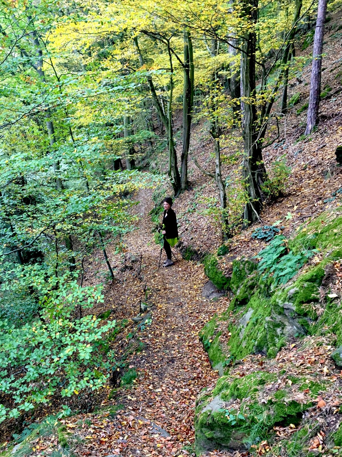
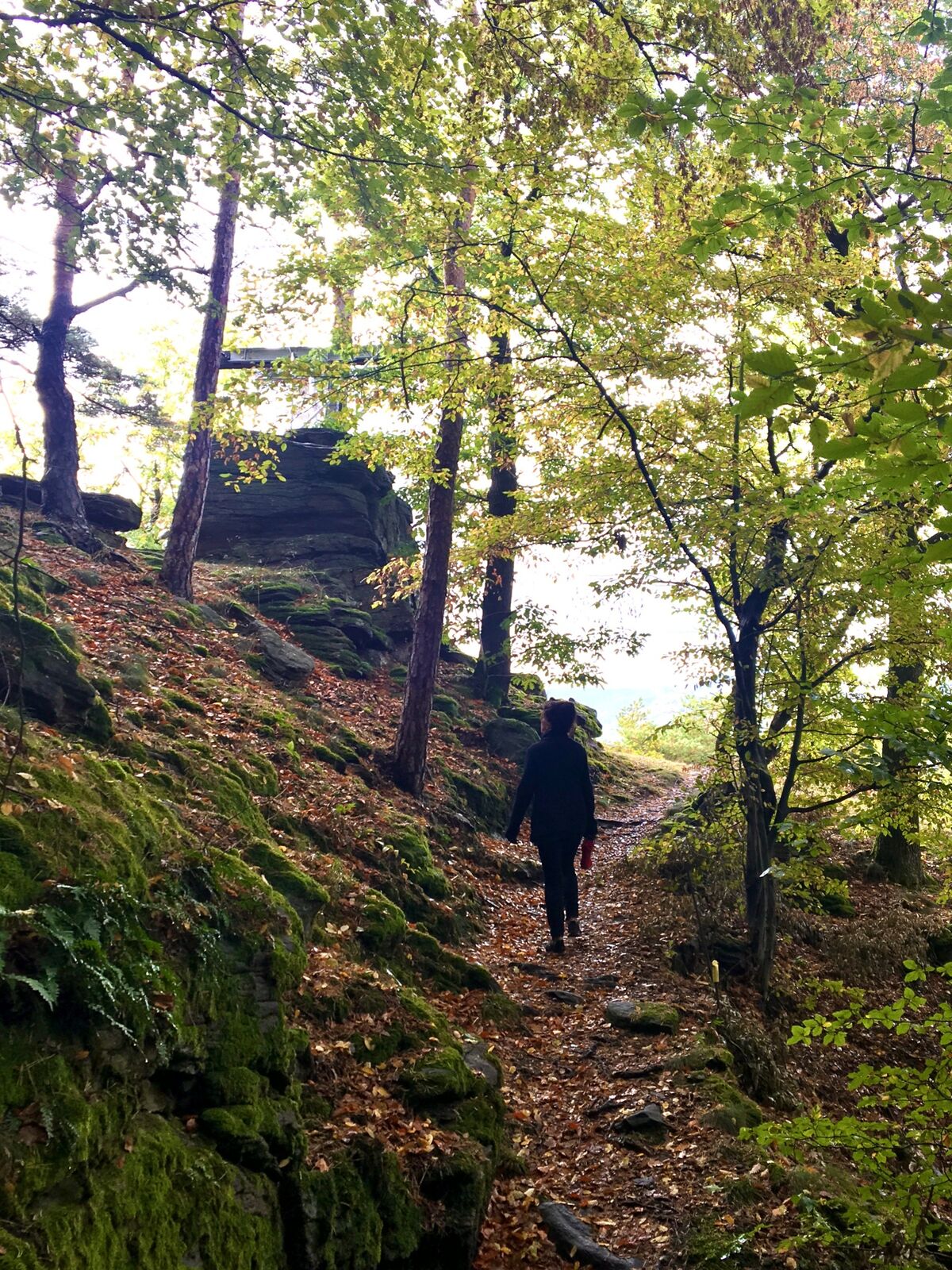
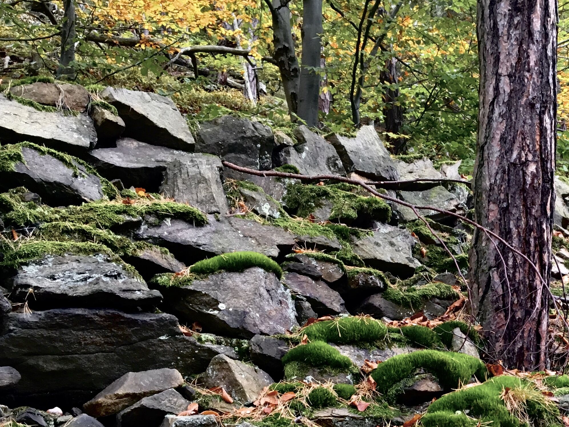
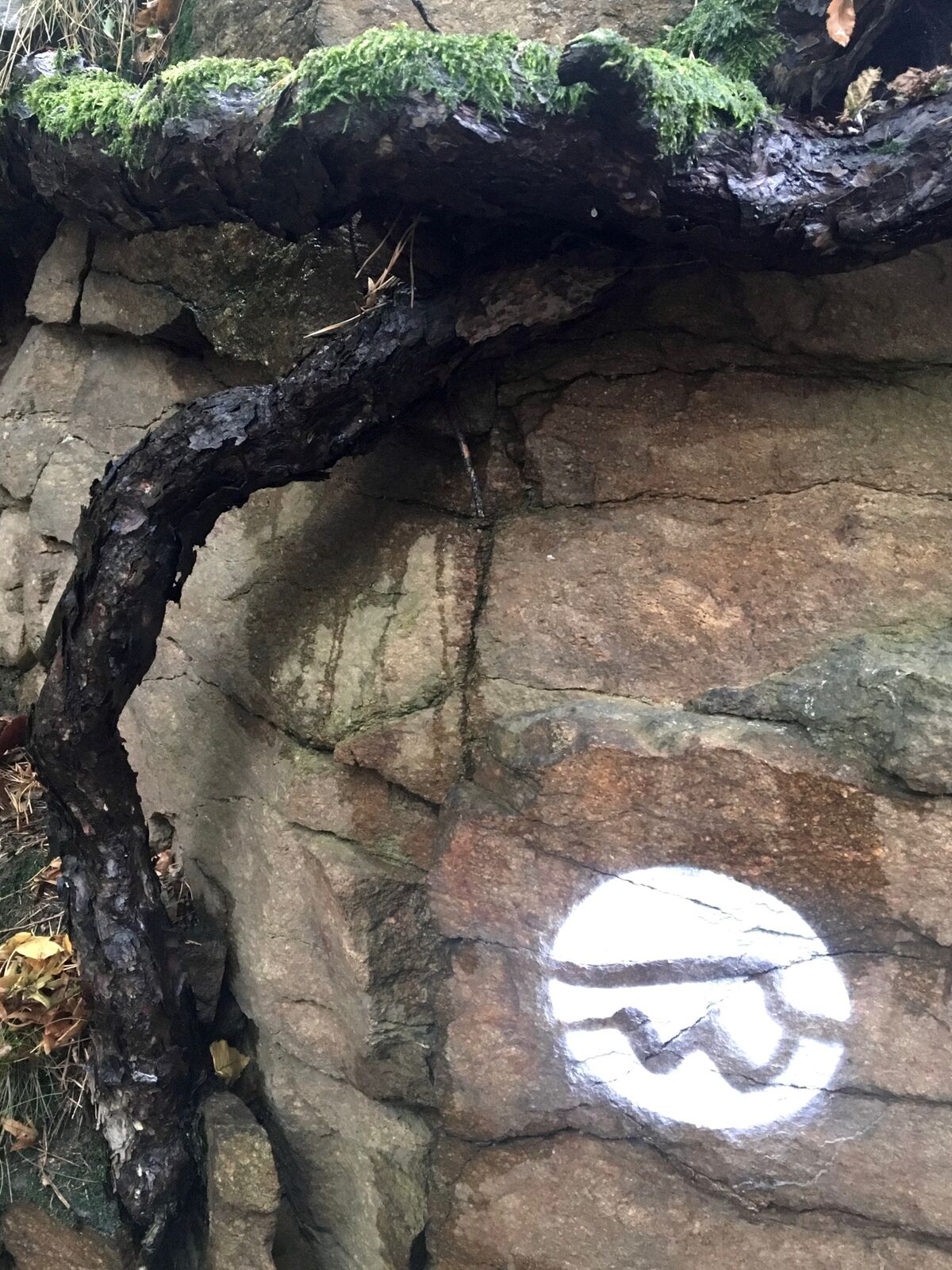
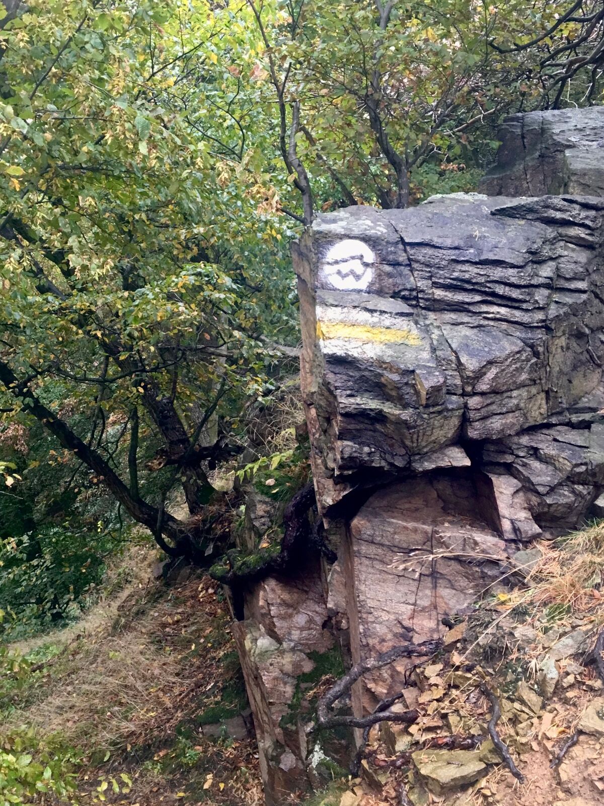
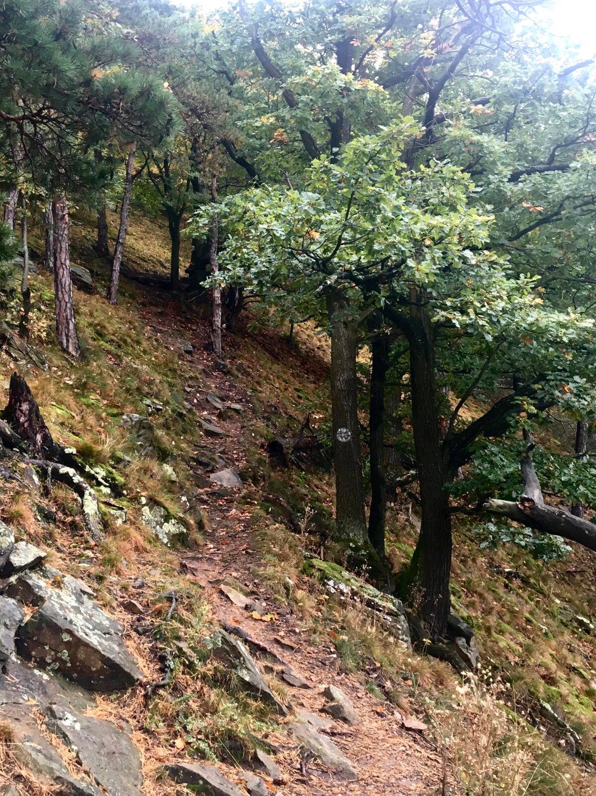
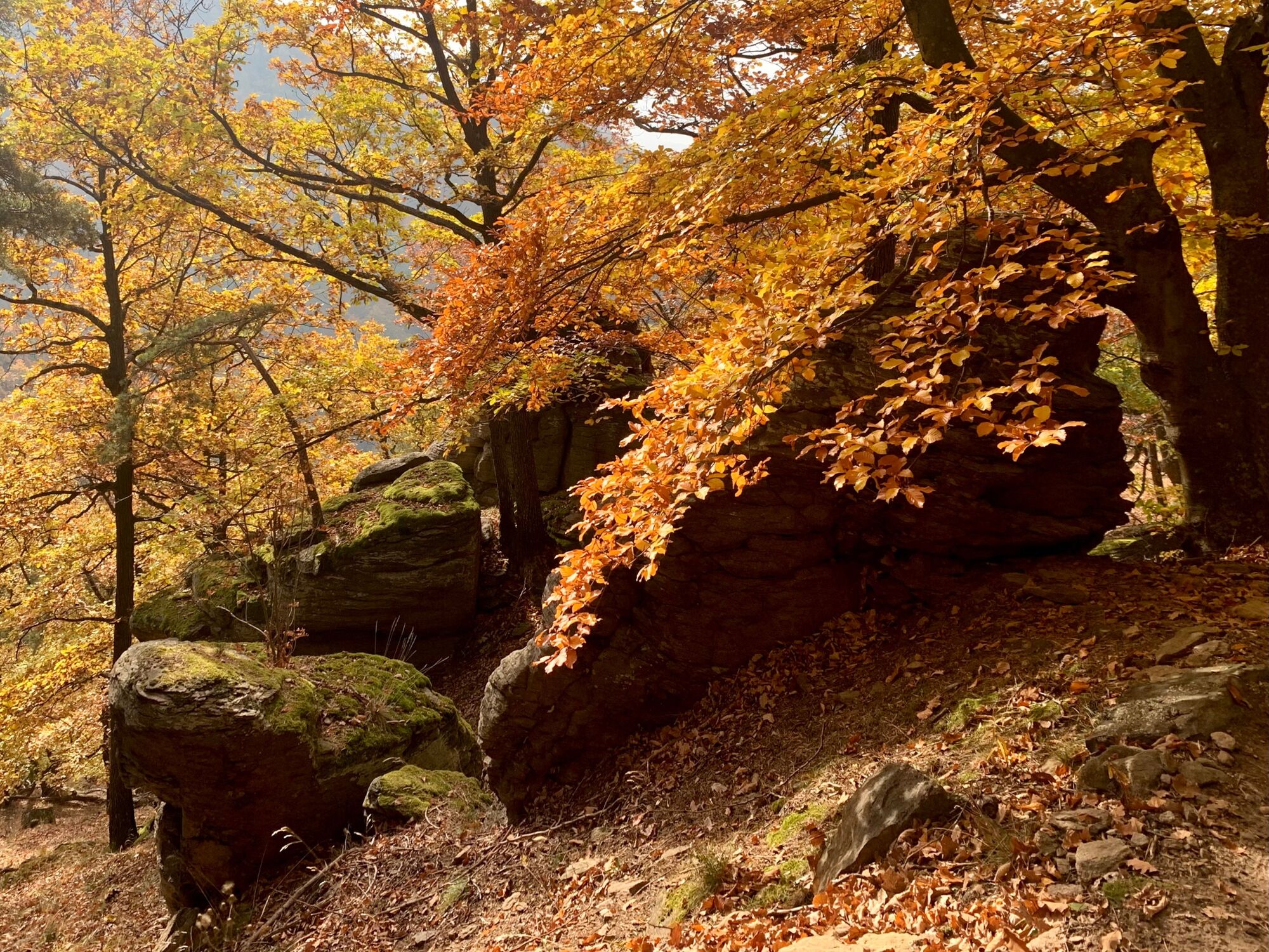
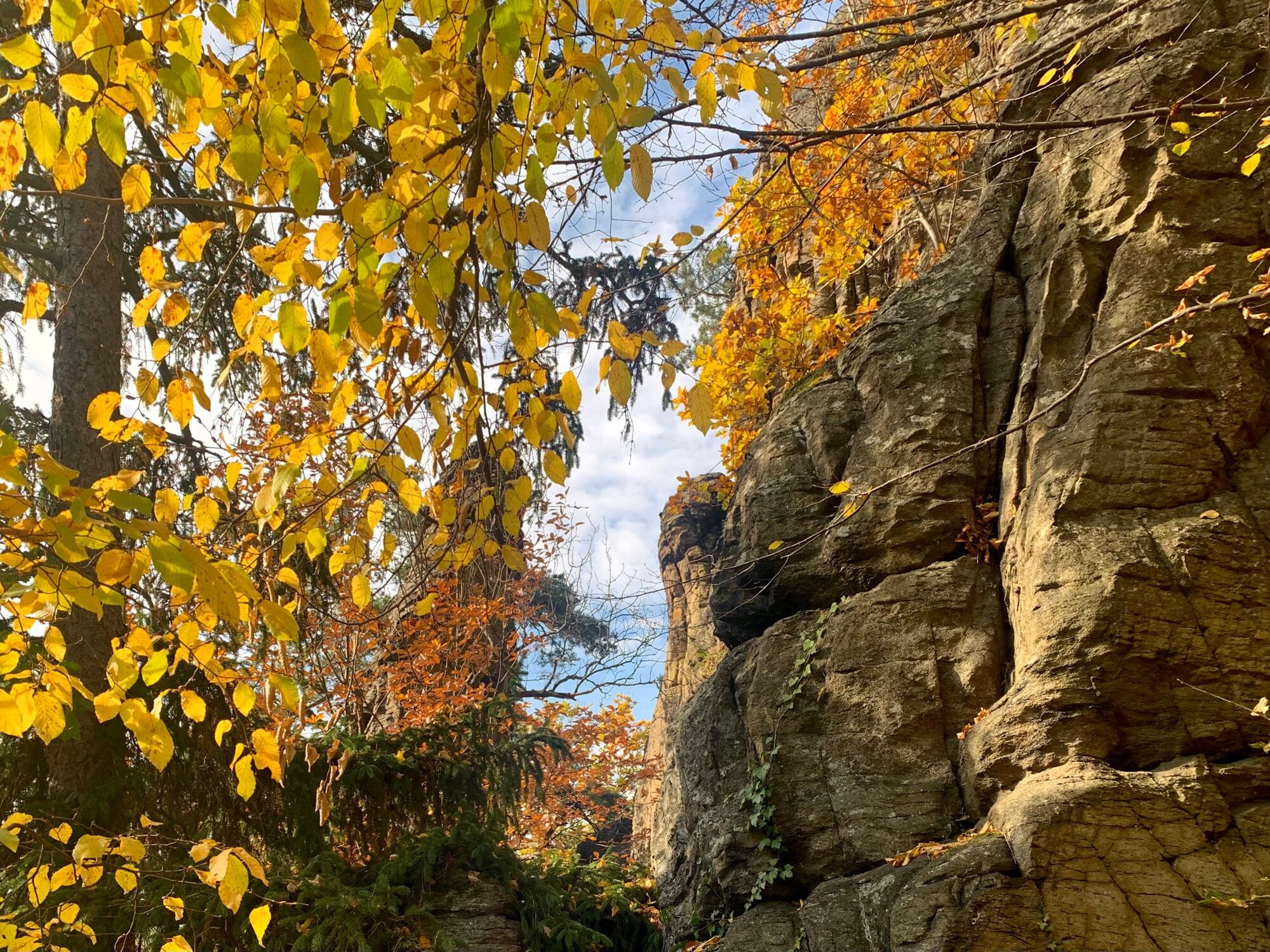
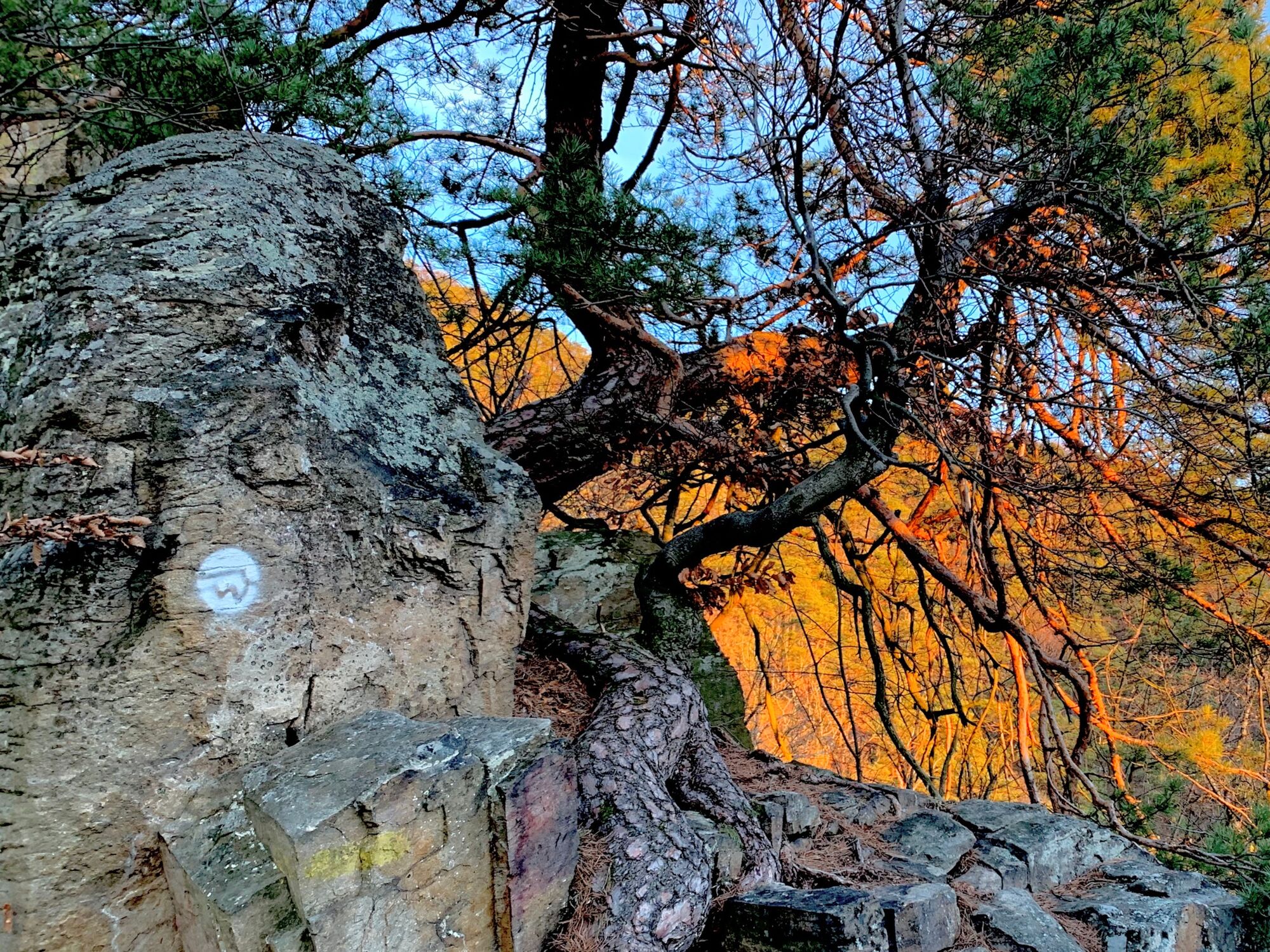
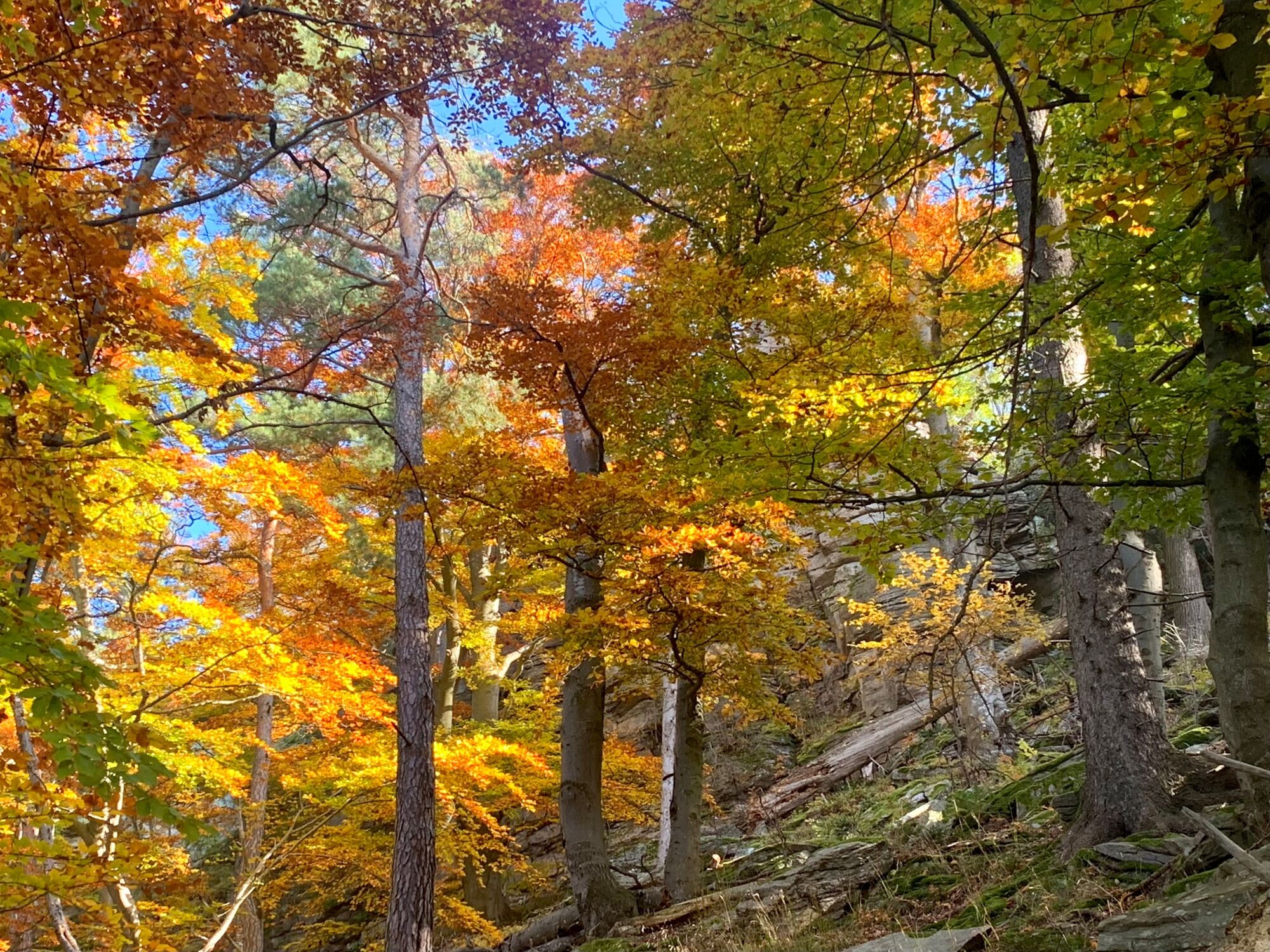
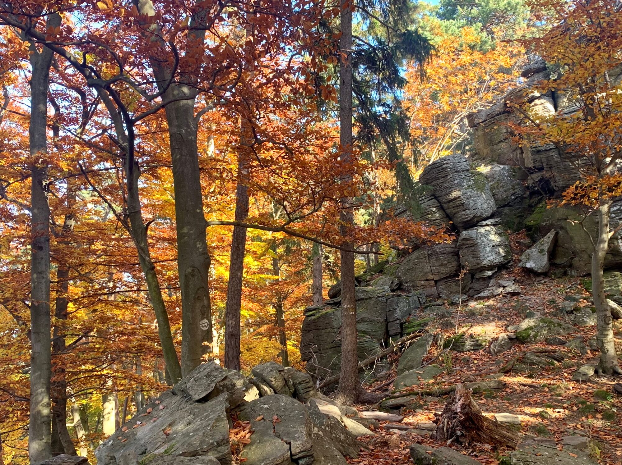
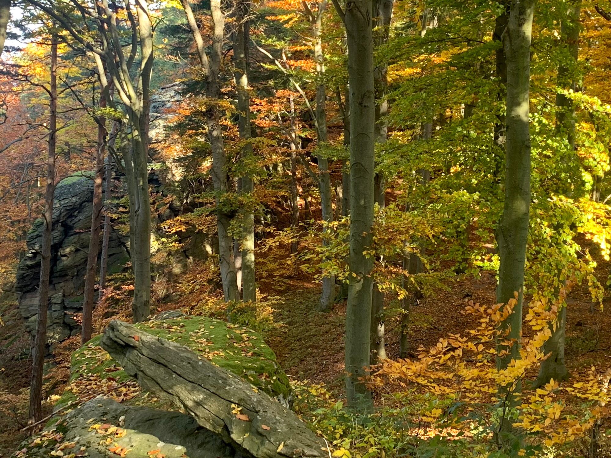
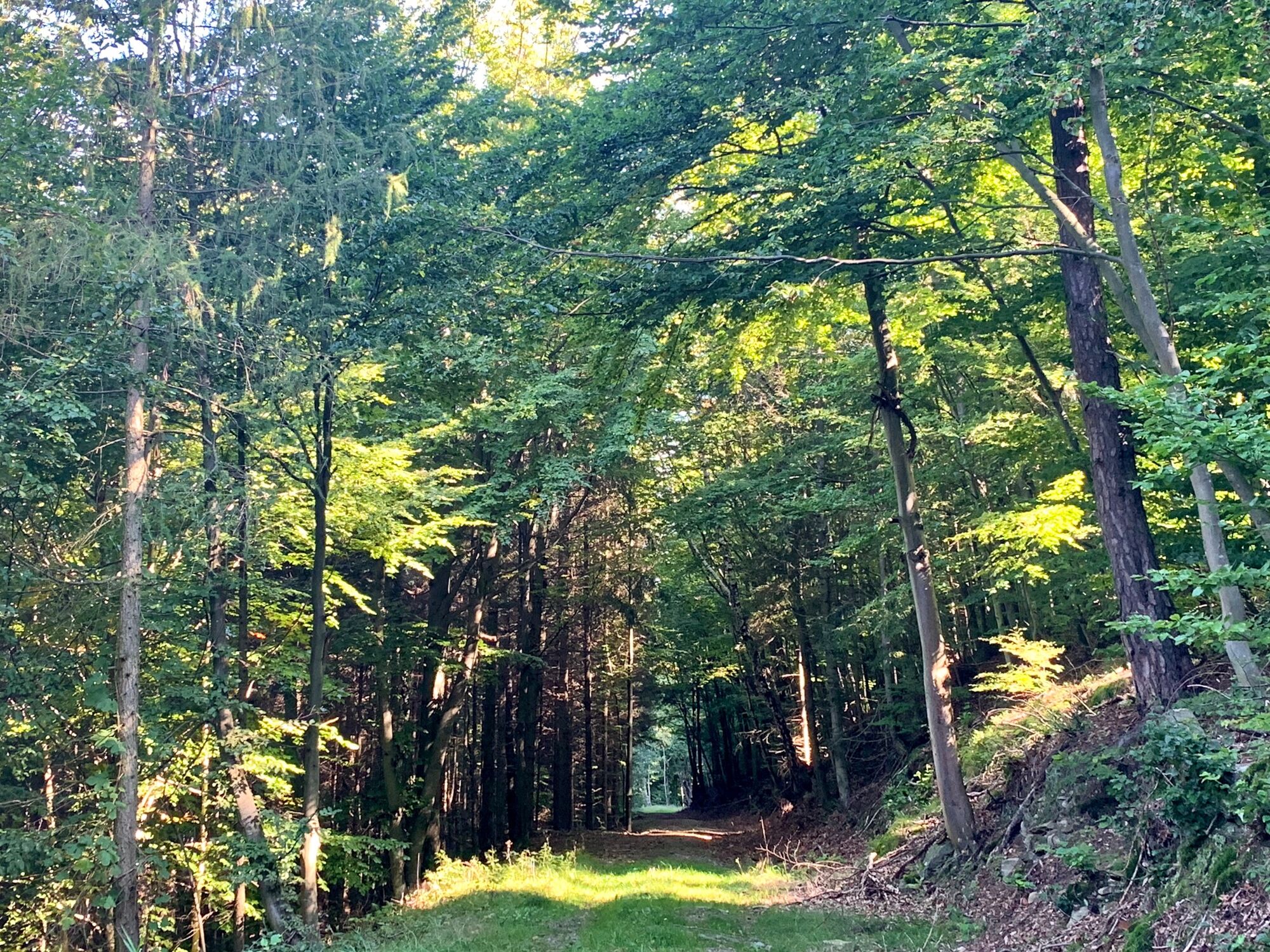
From the Friedenskreuz, a somewhat steep ascent follows in the area of the Steinigen Ries nature reserve in a southerly direction. After some time, our path joins that of the World Heritage Trail Stage 11. Instead of going to the Friedenskreuz, we could have continued on the World Heritage Trail, a little less steep but much longer. As we continue our ascent in the Steinige Ries, we can admire the rock formations of the Bohemian Mass and the sessile oaks that thrive on this soil.
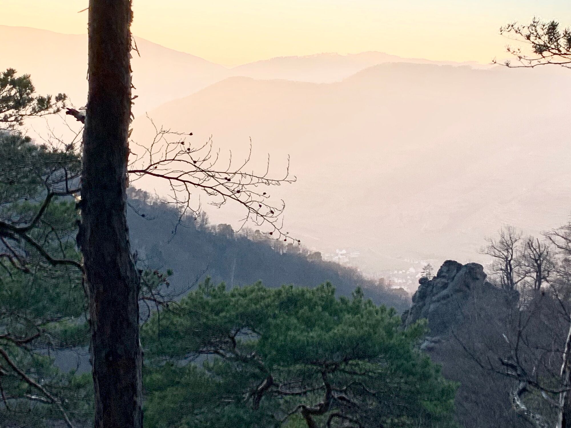
North below the Hirschwand, the trail then continues in a south-westerly direction to the summit of the Seekopf at 671 m above sea level. At Seekopf we climb the new Seekopfwarte and take in the beautiful view of the Danube, the Wachau, the Waldviertel and the Dunkelsteiner Forrest all the way to the Alps.
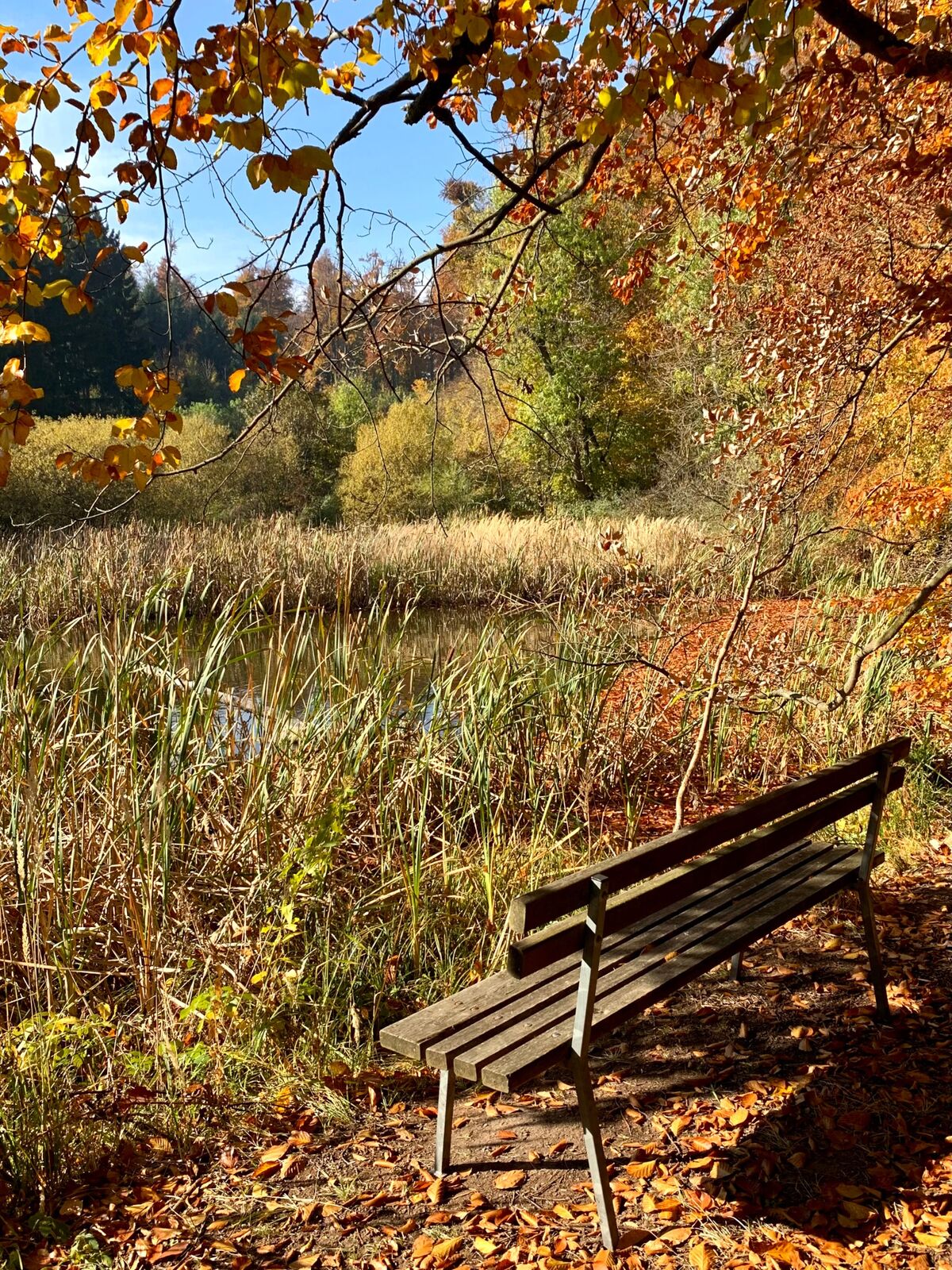
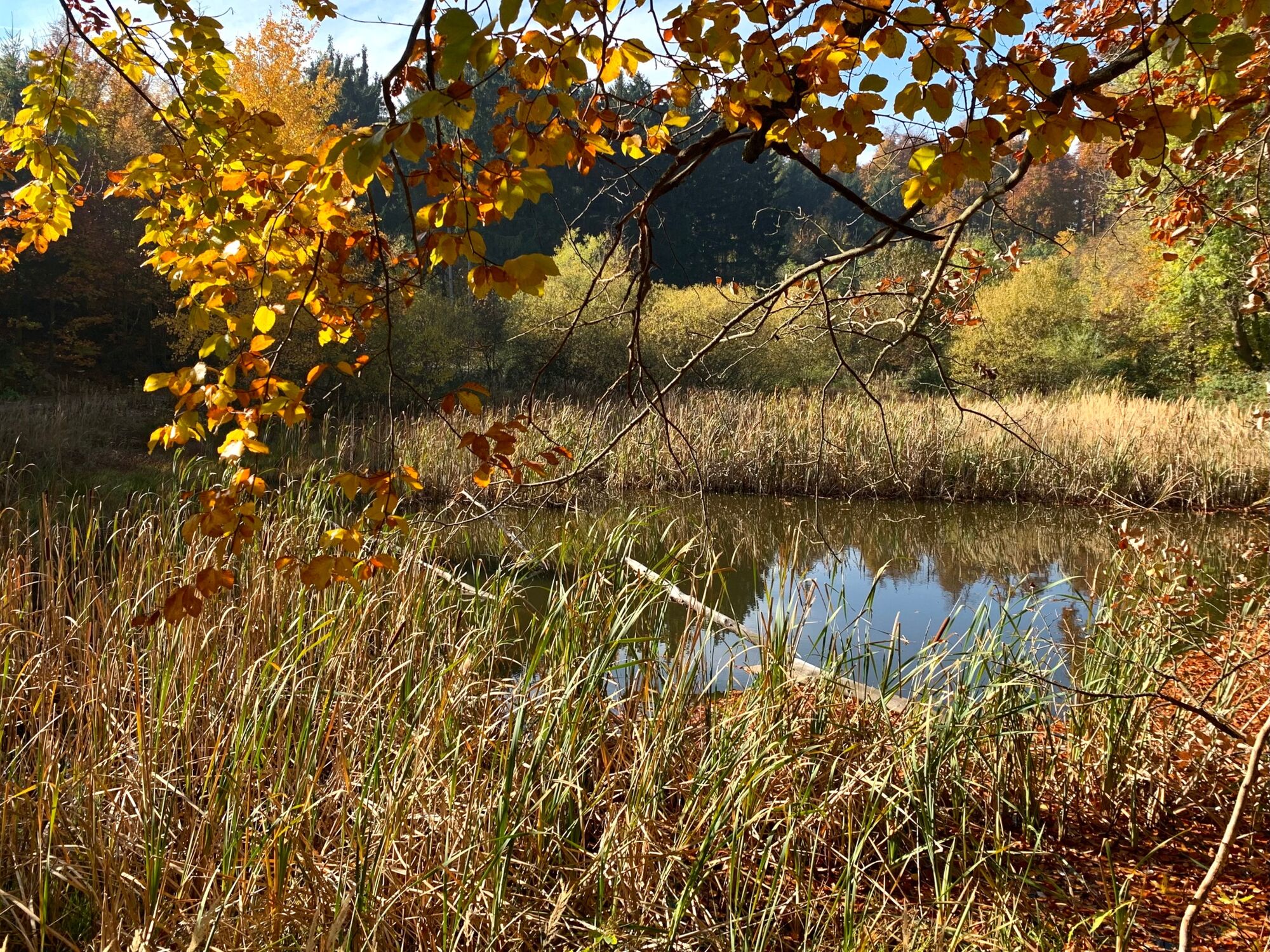
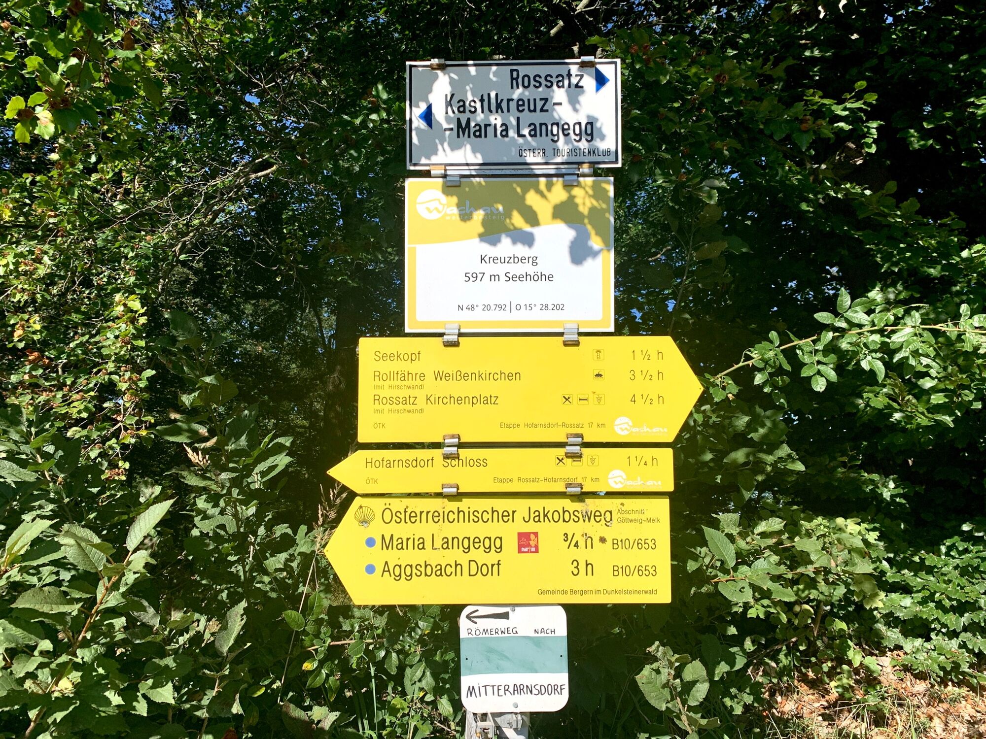
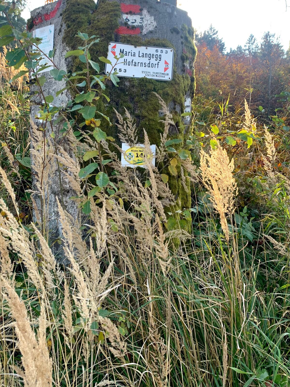
From the Seekopf we descend in a bend to the east to Lake Rühsdorf, which lies southwest below. At Lake Rühsdorf there is a rest area that is less exposed than the one at the summit of Seekopf. From Lake Rührsdorf, we continue south into the Rossatzbacher Seegraben to the Adele Hut, which is an old shelter that makes a good resting place in case of rain. From the Adele Hut, we continue in a southerly direction to the Herrnplatzl, where the Jakobsweg (Way of St. James), coming from the southeast, joins our path. We are still on the World Heritage Trail Stage 11 on this section. In addition, the trail is also signposted to Maria Langegg, because from the Adele Hut it also follows the pilgrimage route from Rossatz to Maria Langegg on this route.
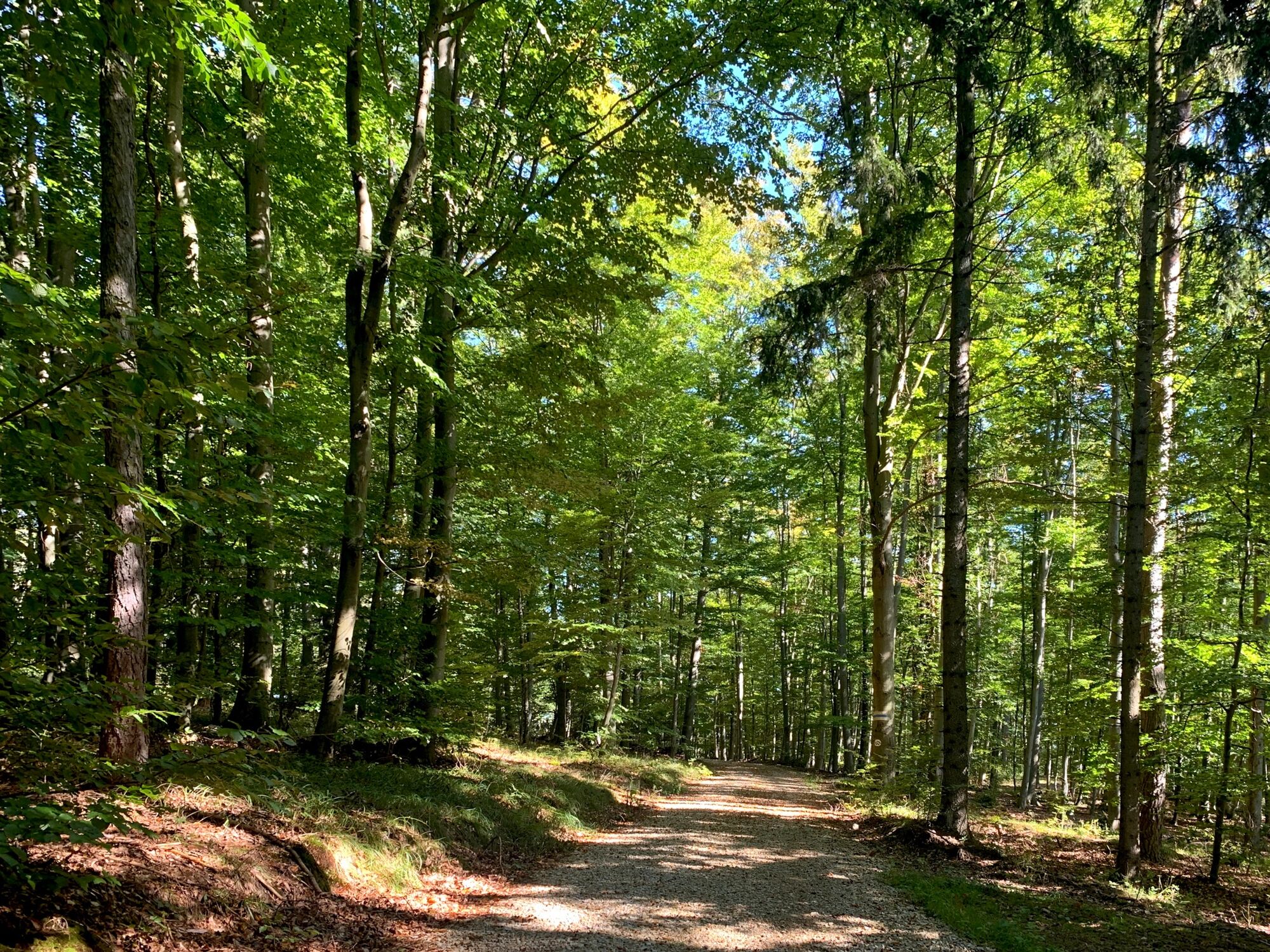
On our way to Kreuzberg, we pass the Zelingmaiß Height on its eastern slope in a southerly direction. At Kreuzberg there is again an open area that offers a view to the south over the Dunkelsteiner Forest as far as to the Alps. From Kreuzberg, we continue along the Jakobsweg towards Maria Langegg while stage 11 of the World Heritage Trail branches off here to the northwest into the Kupfer valley.
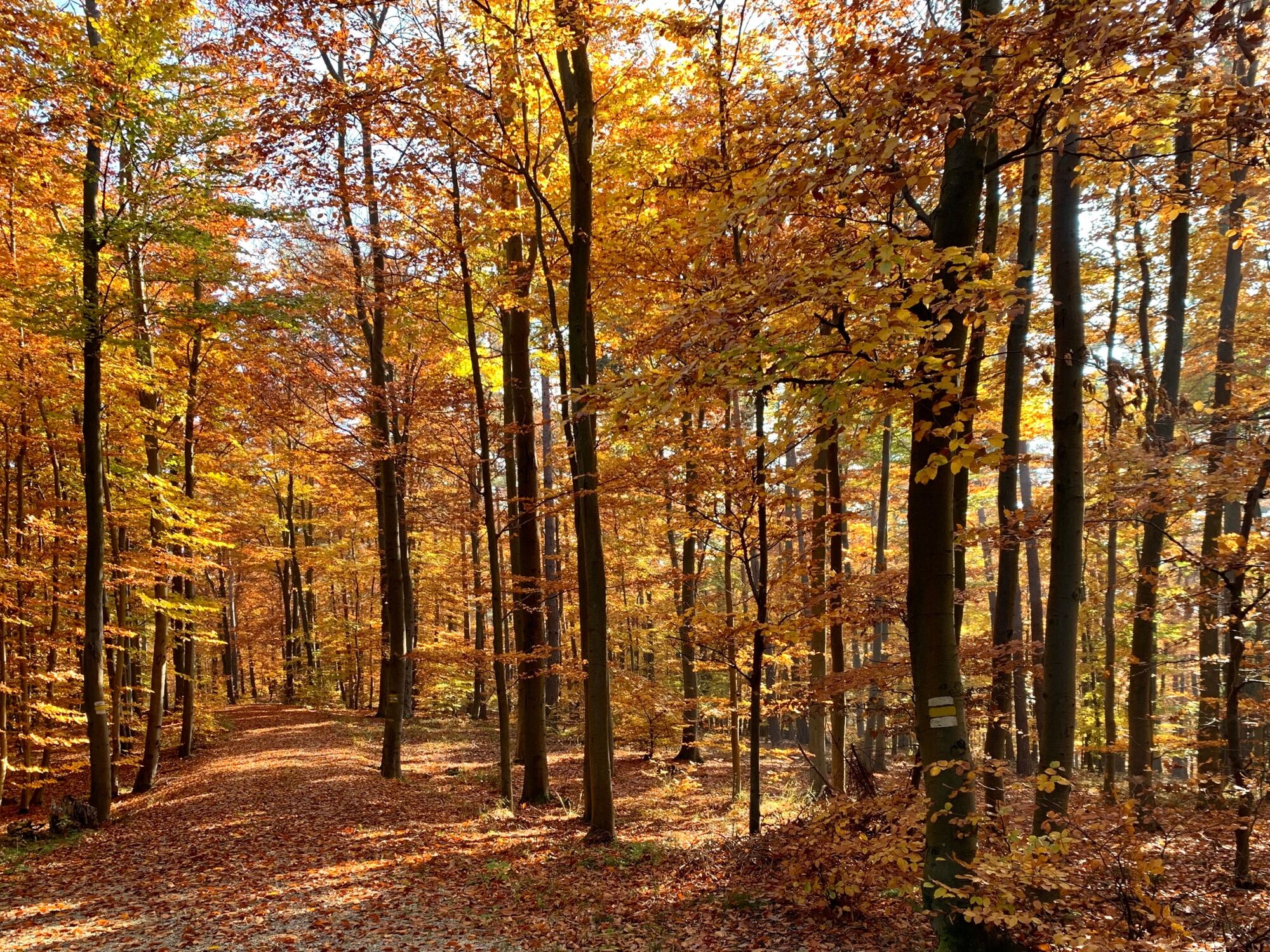
Next we reach the Kastlkreuz, where our further path through the Dunkelsteiner Forest meets the country road that connects Nesselstauden in the Dunkelsteiner Forest with Mitterarnsdorf on the Danube. At this point we cross the country road and continue on the forest road marked as World Heritage Trail Wachau Stage 10, which takes us past the southern foot of the Poppenberg to the Ernsthof.
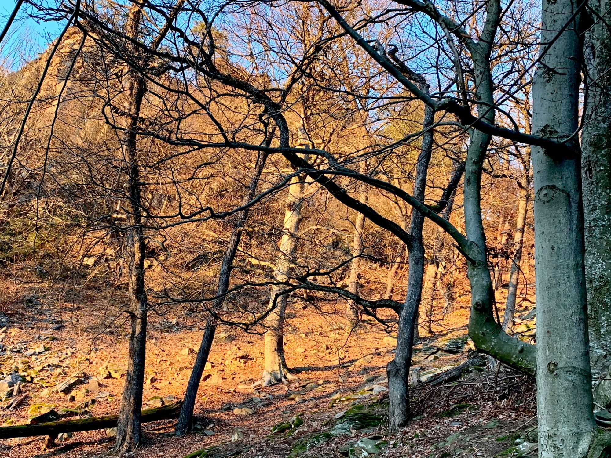
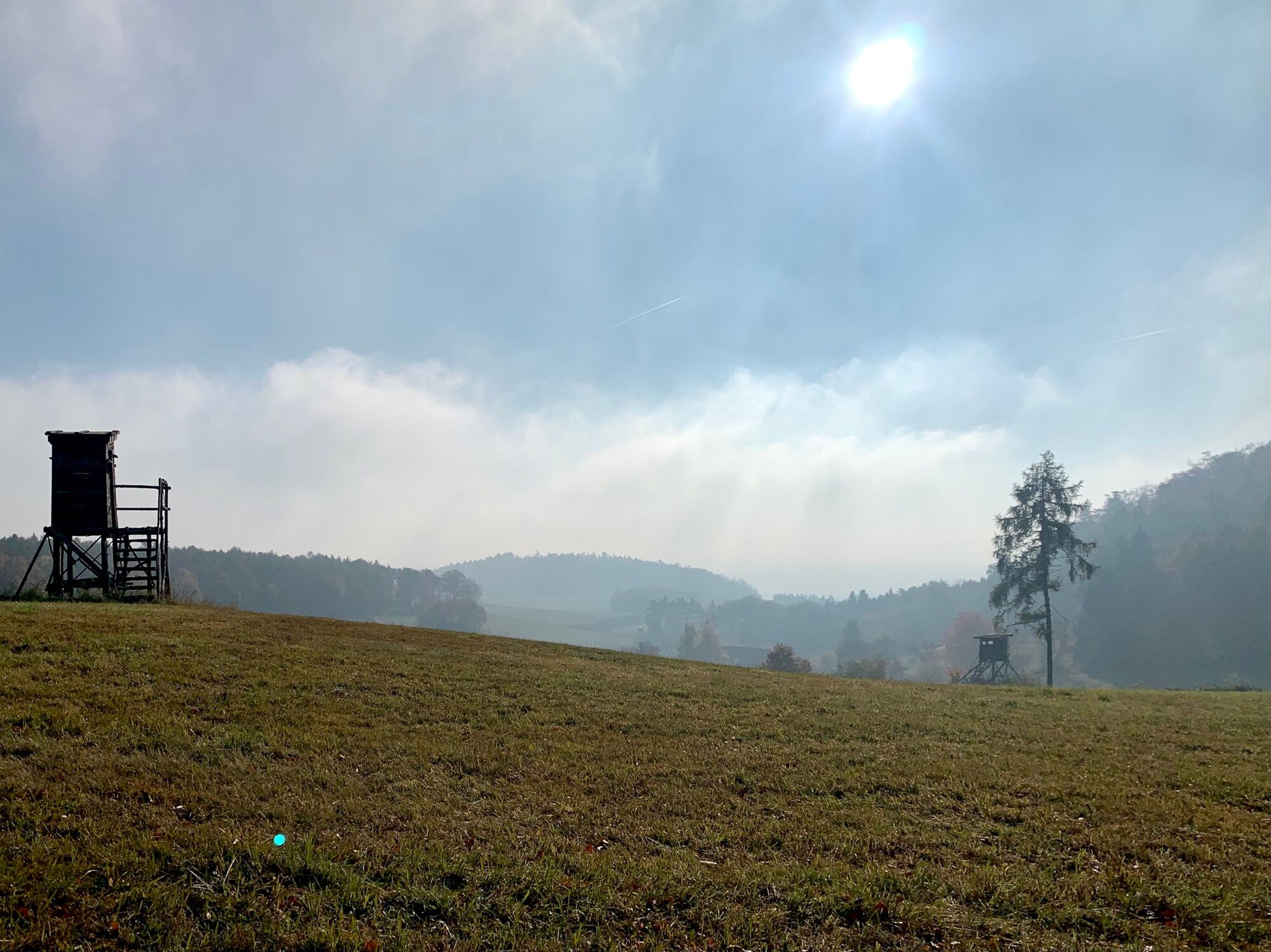
The Ernsthof is a small open area with a few buildings, the seat of the Ernsthof forest administration. The Ernsthof is practically at the beginning of the Buchental, which we now enter. If we walked the last part on a forest road, the path into the Buchental is initially a narrow path, which then becomes somewhat wider and leads to the Wachau valley in a more or less deep ditch in a slightly north-westerly direction, at times relatively steep.
Having reached the valley floor of the Wachau between Oberstdorf and Hofarnsdorf, after emerging from the beech forest we cross the Buchental vineyard in a north-westerly direction before crossing the B 33 main road and continuing our way through the Mitterbirg vineyard to the landing stage of the roller ferry to Spitz. After crossing the Danube, we reach the end of day 1 of the Wachau Circumnavigation at the ferry landing stage in Spitz.
- Highest point
- 679 m
- Endpoint
-
Landing stage of the rolling ferry in Spitz on the Danube
- Height profile
-

- Equipment
-
Sturdy hiking shoes are recommended, possibly also hiking poles. Rain and sun protection as well as a first aid kit and a mobile phone (European emergency number 112) belong in the light daypack. A hiking map or GPS navigation support orientation.
- Safety instructions
-
Hiking is an endurance sport. The strain on the heart and circulation requires good health. From St. Lorenz on the Danube at 200 m above sea level, the hike is 3.6 km over 500 m in altitude to the Seekopf, which is at 761 m above sea level. This is followed by a leisurely high-altitude hike, mostly in the forest, over a distance of 9.5 km to the Ernsthof, which lies at around 600 m above sea level. From Ernsthof, the trail descends steeply over a distance of 2 km, 400 metres in altitude, into the valley of the Wachau.
- Tips
-
A short detour to Maria Langegg, a pre-Christian place of power, today a church village on a sparse hill in the Dunkelsteinerwald with a stop at the Langegger Inn.
- Additional information
-
The Seekopfwarte
The Seekopf is a 671 m high elevation of the Bohemian Massif in the Dunkelsteinerwald on the right, southern bank of the Danube opposite Wösendorf in the Wachau valley near Oberkienstock with a rest area and a lookout point with a panoramic view.
The Seekopf with its lookout tower is the destination of a very popular hike. The ascent can either be direct and steep on the Meurersteig from Oberkienstock or more leisurely from St. Lorenz via the Steinige Ries.
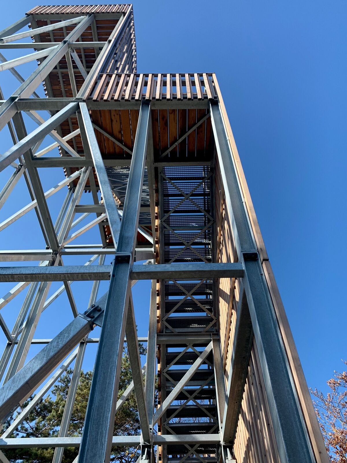
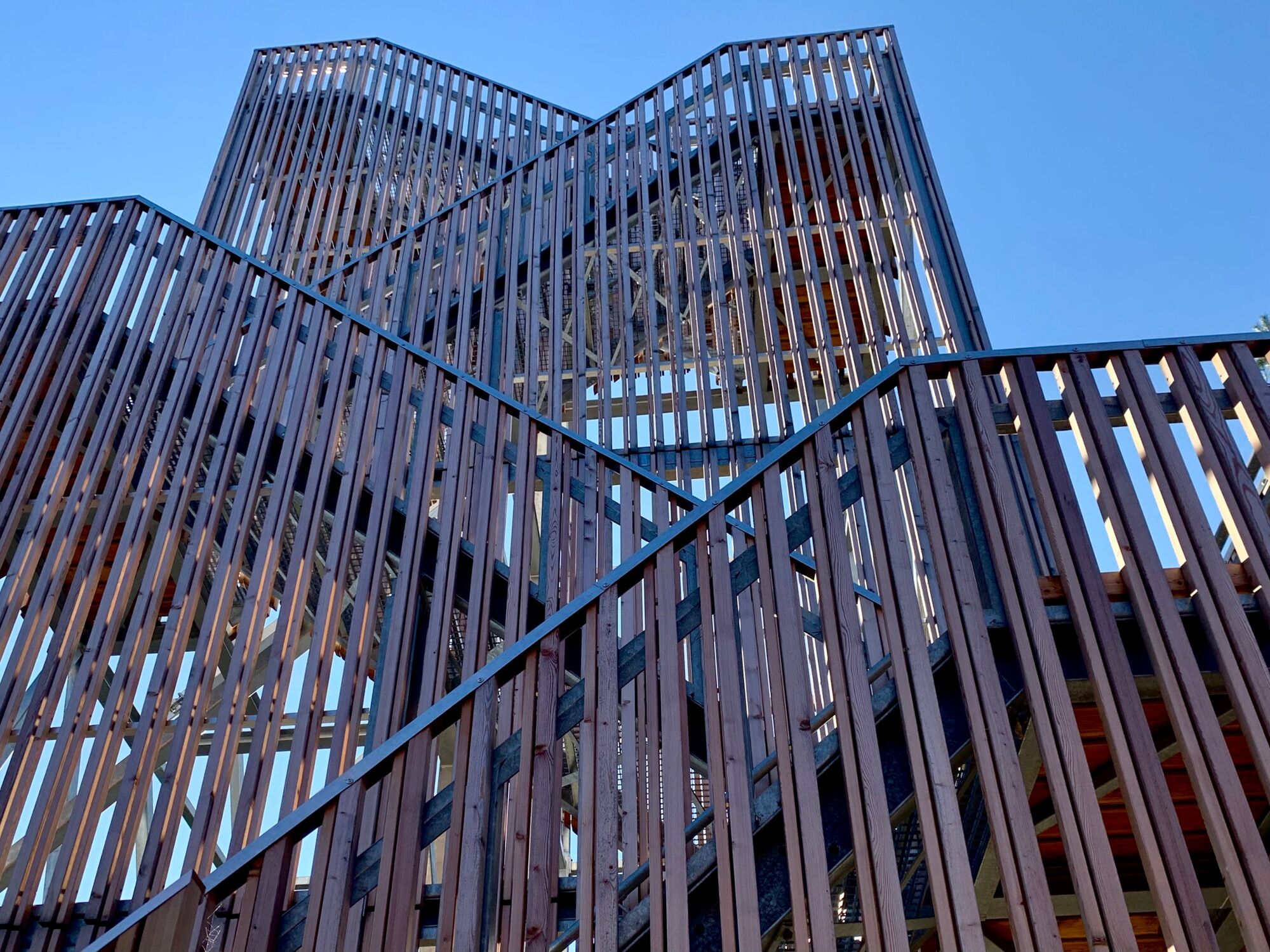
As early as 1882, the Krems-Rossatz section of the Austrian Alpine Club built a lookout tower. In 1993, the local 'Jankerl-Club-Rossatz' built a new lookout tower with their own hands. In 2020, a competition was finally announced by the Jankerl-Club-Rossatz and the market town of Rossatz-Arnsdorf in cooperation with art in public space Lower Austria with the support of the state and the European Union (LEADER) for the construction of a new lookout tower at the Seekopf.
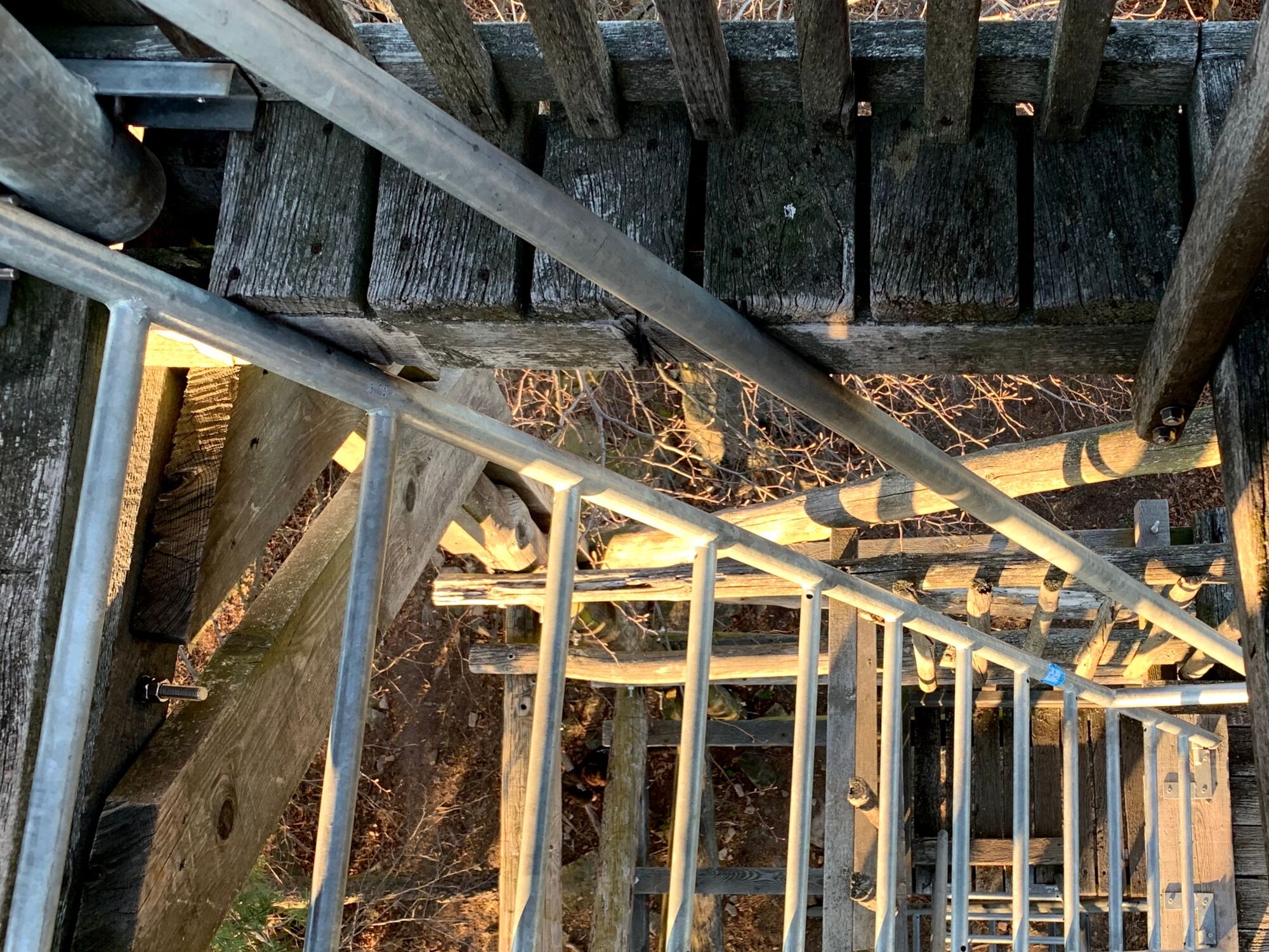
The winning project called "The Fourth Wall" comes from the architect Eldine Heep and the designer Klemens Schillinger from Vienna. A metal construction that is faced to the east with wooden slats, with a gap between the individual slats so that it looks like a curtain, a thread curtain. Behind this tiered wall paneled with larch wood, the stairs lead up 3 serpentines to the viewing platform on the 4th floor.
After the emotionally experienced nature on the hike to the Seekopf, the ascent to the 16.4 m high viewing platform is still a little challenge that has to be overcome when you desire to look over the trees at the Danube, the Wachau with the vineyards and villages, the Waldviertel and the Dunkelsteinerwald, the Göttweig Abbey, the ruins of Dürnstein, the foothills of the Alps, the Ötscher and the Tullnerfeld.
The control room on the Seekopf is freely accessible all year round.
- Directions
-
Coming from the west by car, leave the A1 at Melk and continue towards the Wachau valley on the left bank of the Danube. On the left bank of the Danube, take the B3 in the direction of Krems until Weißenkirchen in the Wachau.
From Vienna, the east, take the A22, the S5 and the B3 to Weißenkirchen in the Wachau.
- Public transportation
-
By train to Krems or Melk. From there take the Wachau bus line 715 to Weißenkirchen and get off at the bus stop "Weißenkirchen/Wachau Fähre". From the bus stop, cross the Wachau federal highway B3 to get to the ferry dock to St. Lorenz, the starting point of day 1 of the circumnavigation of the Wachau valley, the hike over the Seekopf to Spitz on the Danube.
- Parking

-
-
AuthorThe tour Wachau circumnavigation Day 1: Weißenkirchen - Spitz is used by outdooractive.com provided.