- Brief description
-
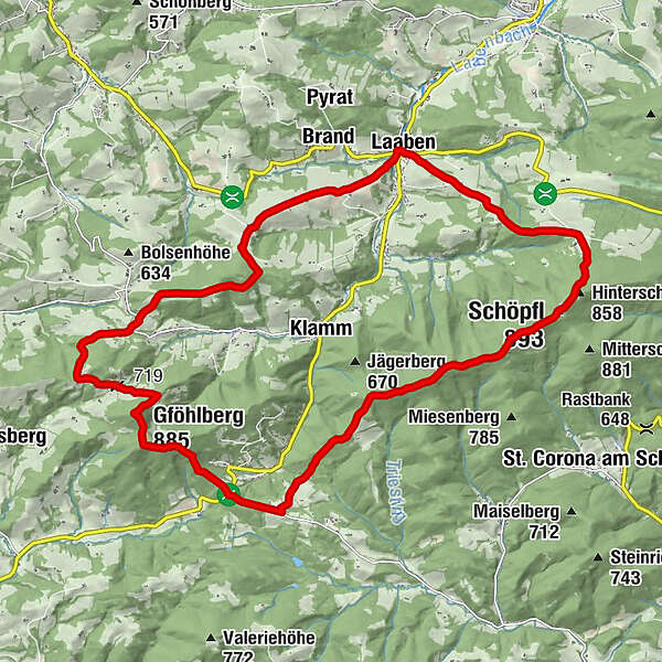
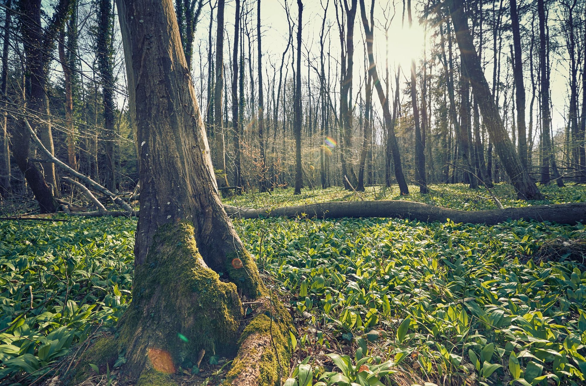
Up to the Schöpfl and Gföhlberg - Experience the two highest elevations of the Vienna Woods in a hiking tour!
- Difficulty
-
difficult
- Rating
-
- Starting point
-
Laaben
- Route
-
LaabenLand Gasthof zur Linde0.0 kmHofern1.0 kmHinterschöpfl (858 m)4.3 kmSchöpfl-Schutzhaus4.5 kmSchöpfl (893 m)4.6 kmWittenbachberg (846 m)6.8 kmKlammhöhe11.5 kmGföhlberghütte13.2 kmGföhlberg (885 m)13.9 kmStollberg17.5 kmKapelle20.8 kmEck21.5 kmGasthof Laabenbachstube23.2 kmLaaben23.4 kmLand Gasthof zur Linde23.4 km
- Best season
-
JanFebMarAprMayJunJulAugSepOctNovDec
- Description
-
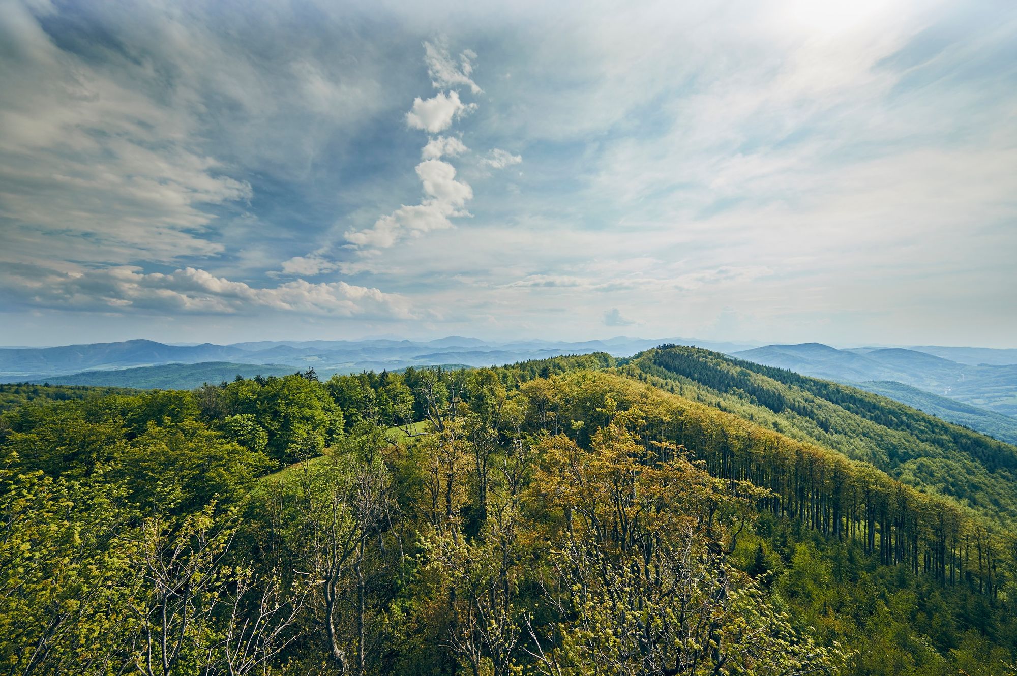
Tip/Fun-Fact: At 893 metres, the Schöpfl is the highest mountain in the Vienna Woods. From the Matraswarte lookout post at the summit, the surrounding hills look like waves in the ocean.
From the viewing platform of the Matras-Warte at the highest point of Schöpfl, an impressive view of the Laabental valley, the Wein- and Waldviertel, the Quiet Mountains, the Peilstein, Leithagebirge, the Gutensteiner and Türnitzer Alps, Schneeberg, Rax, Ötscher, yes, on clear days even Hochschwab and Totes Gebirge can be seen.
- Directions
-
Starting at Laaben town hall, we will head east. At the first turn-off, we will turn right (onto Sackgasse) and follow the red route (WWW 04). We will continue for approx. 700 m through a meadow, until we reach the first farm yard, and walk down the goods road to the Icelandic horse farm. Once there, we will turn right. At the edge of the forest, we will go up the “Heinrich-Gith-Steig” or the “Pensionisten-Steig”. We will pass the Schöpfl-Schutzhaus inn and the Matras-Warte lookout post, and continue along the ridge of the Schöpfl (red & blue routes), down to the country road, and walk approx. 900 m to Café Klammhöhe. Our route will now take us up through the forest, to the Gföhlberghütte inn (on the Juneberry Trail), and then up to the Gföhlberg summit. At the next turn-off, we will turn left and follow the blue route to the end of the Juneberry Trail. Further on, the route (blue, No. 622) joins WWW 04, which leads back onto the country road. We will follow it for a while, before turning right after the castle, passing the black cross (on the green route) and finding ourselves back in Laaben.
- Highest point
- 888 m
- Endpoint
-
Laaben
- Height profile
-

- Equipment
-
sturdy shoes, water, rain protection
- Tips
-
Rest points Landgasthof zur Linde Schöpfl Schutzhaus Gföhlberghütte
Updated on: 12.11.2020
- Public transportation
-
Arrival with public transport
By bus to the station "Laaben Hauptplatz"
- Parking
-
At the community office Laaben
- Author
-
The tour Hike up the Schöpfl and the Gföhlberg is used by outdooractive.com provided.


General info
-
Wienerwald
4227
-
Elsbeere-Wienerwald
1218
-
Brand-Laaben
303