

© (c) Mostviertel Tourismus, schwarz-koenig.at - Adi Aigner

© Mostviertel - Eva Schwaigerlehner
- Brief description
-
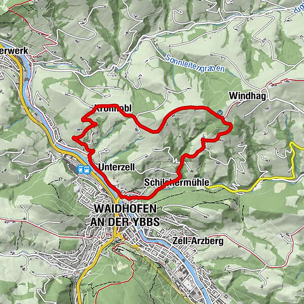
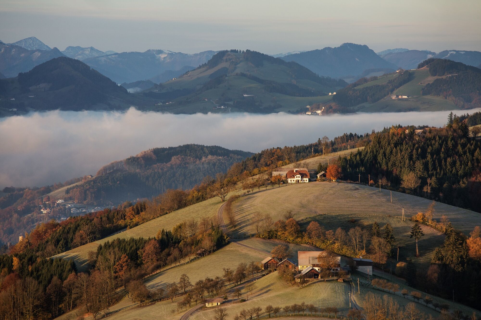
Die Route bietet herrliche Ausblicke in die Ybbstaler Alpen und das Mostviertel - an guten Tagen sogar bis ins Waldviertel und ins tote Gebirge bis zum großen Priel.
- Difficulty
-
medium
- Rating
-
- Route
-
Waidhofen an der Ybbs0.0 kmUnterzell0.5 kmKronhobl2.8 kmGschnoatahöhe4.7 kmSchilchermühle7.1 kmWaidhofen an der Ybbs7.9 kmUnterzell8.0 km
- Best season
-
JanFebMarAprMayJunJulAugSepOctNovDec
- Highest point
- 694 m
- Height profile
-

- Author
-
The tour Kronhobel - Runde is used by outdooractive.com provided.
GPS Downloads


General info
Refreshment stop
A lot of view
Other tours in the regions
-
Mostviertel
2453
-
Melker Alpenvorland
797
-
Waidhofen an der Ybbs
261


