

Tour data
11.61km
254
- 496m
248hm
399hm
02:51h
- Brief description
-
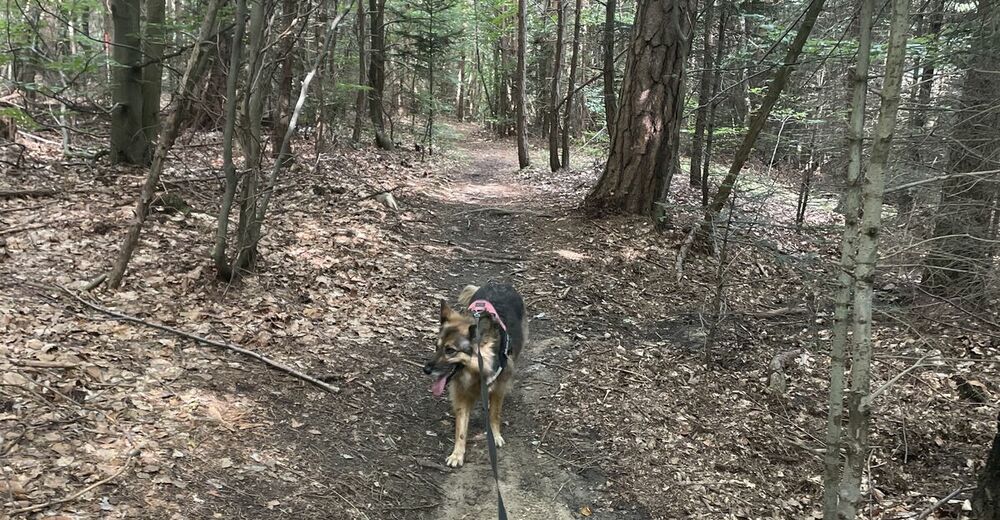
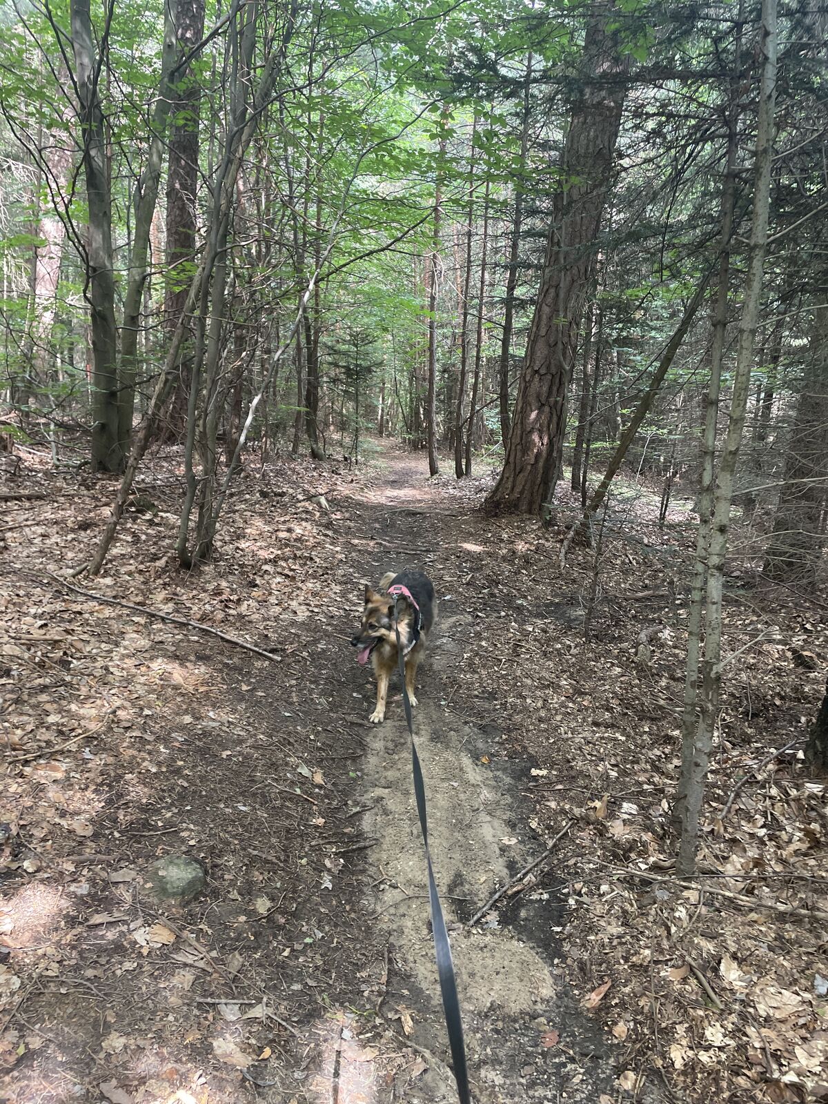
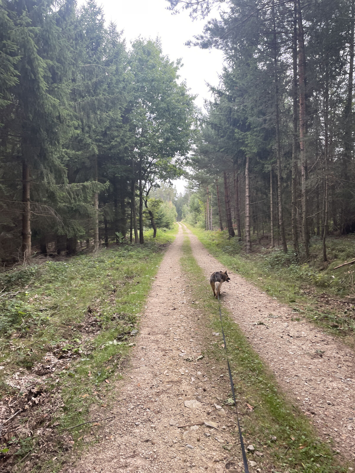
Schöne Waldwege. Gut beschildert.
- Difficulty
-
easy
- Rating
-
- Route
-
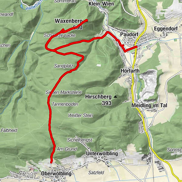
OberwölblingWaxenberg (501 m)6.6 kmPaudorf10.9 kmPaudorf (253 m)11.1 km
- Highest point
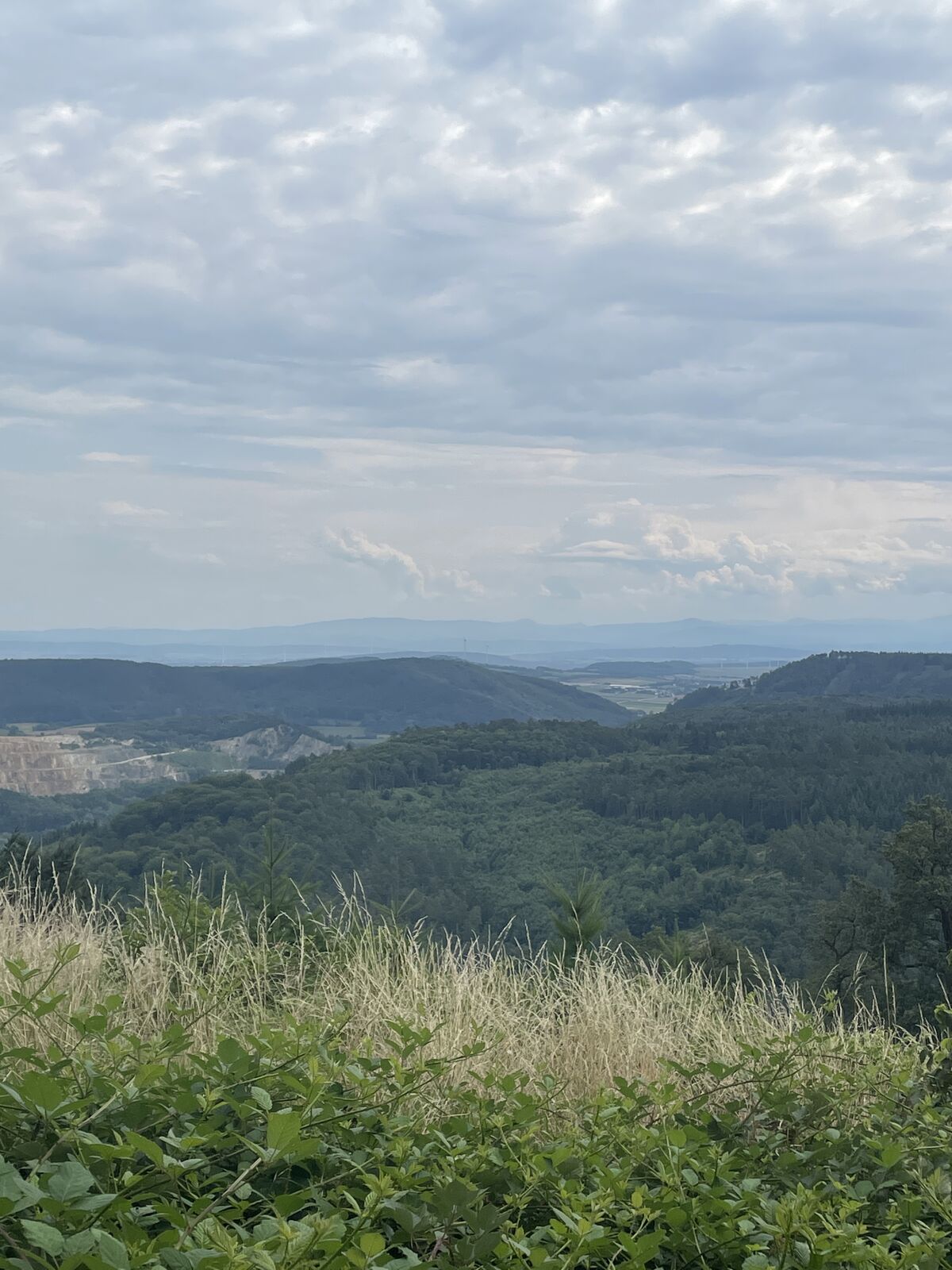
- 496 m
GPS Downloads


Other tours in the regions
-
Donau Niederösterreich
2287
-
Dunkelsteinerwald
1373
-
Paudorf
585


